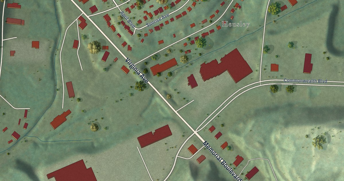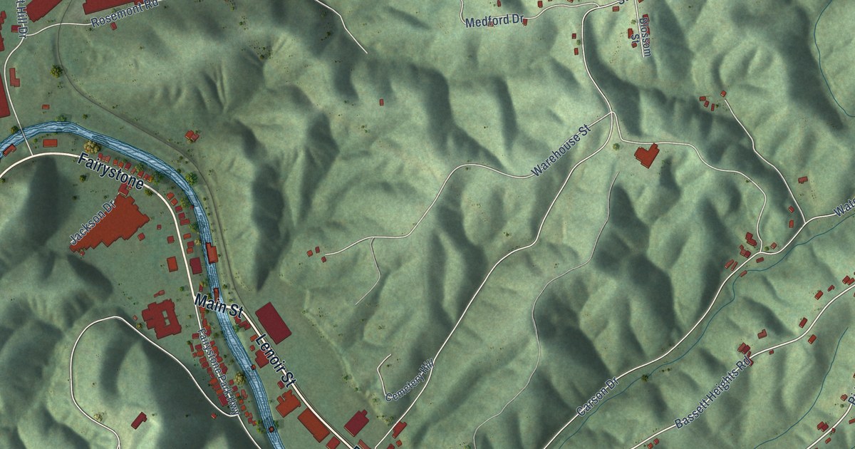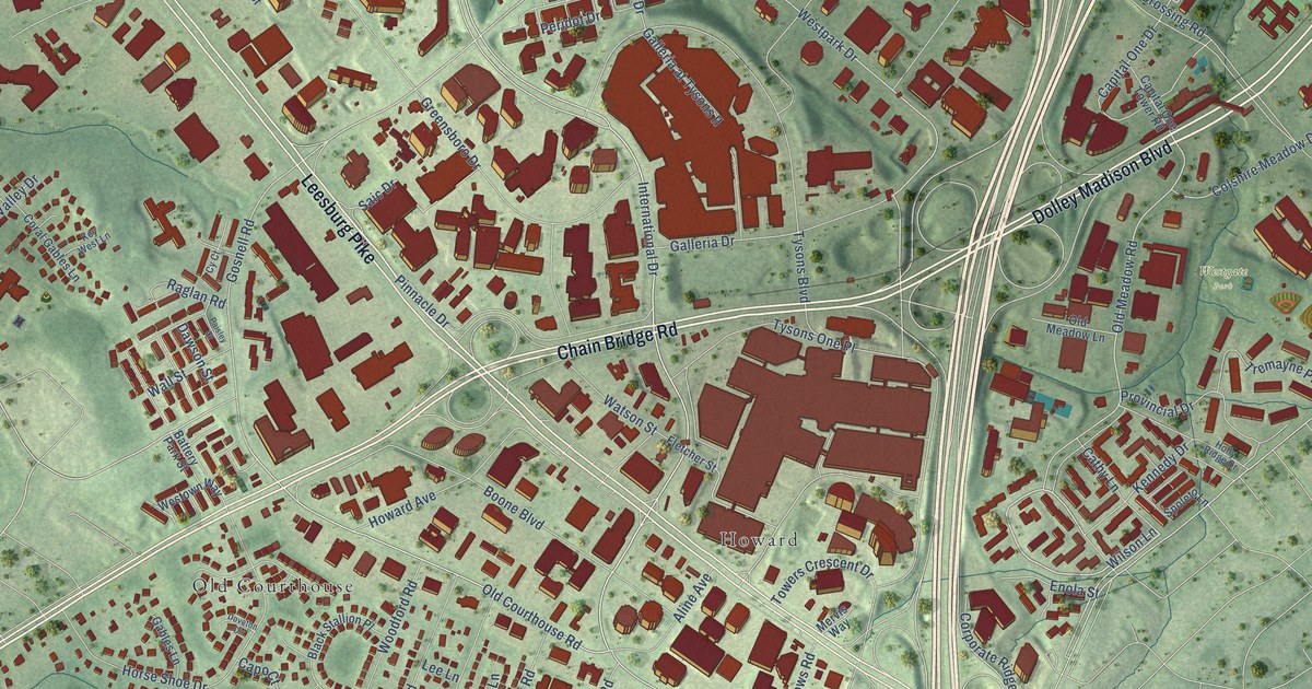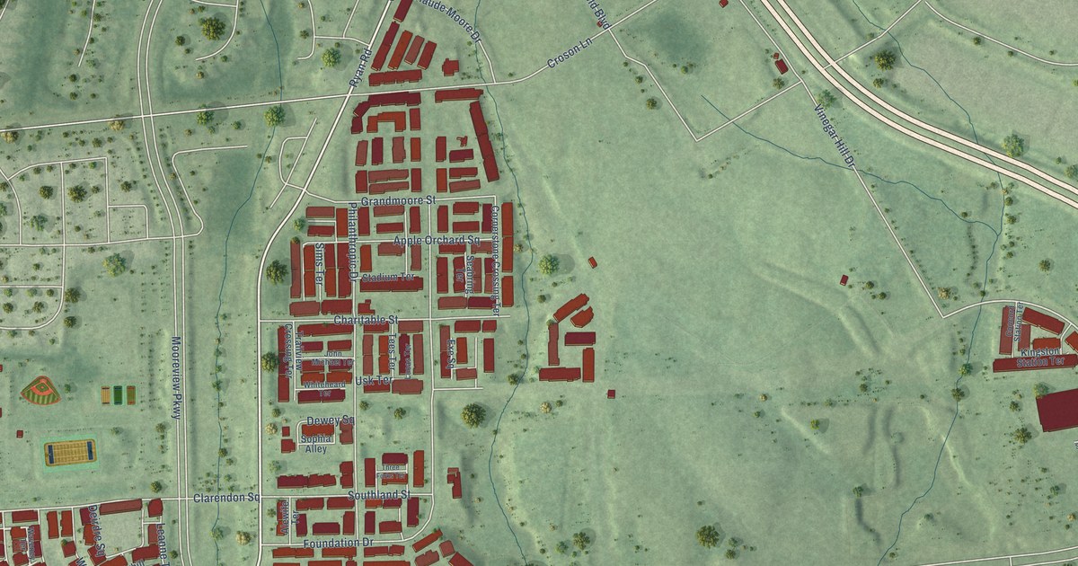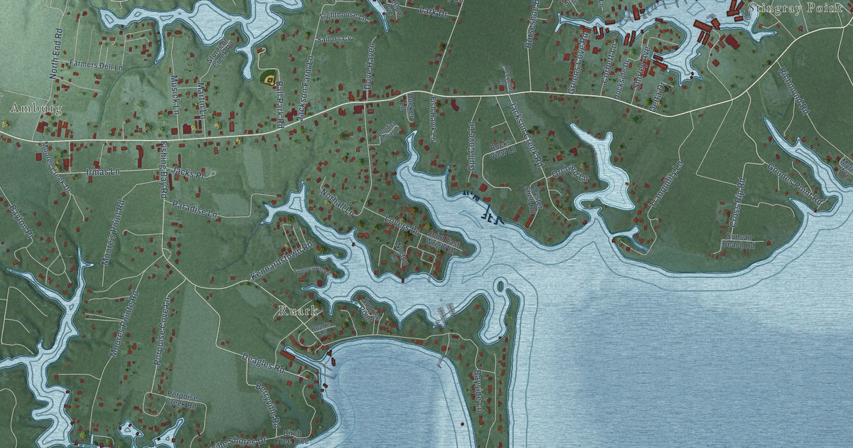
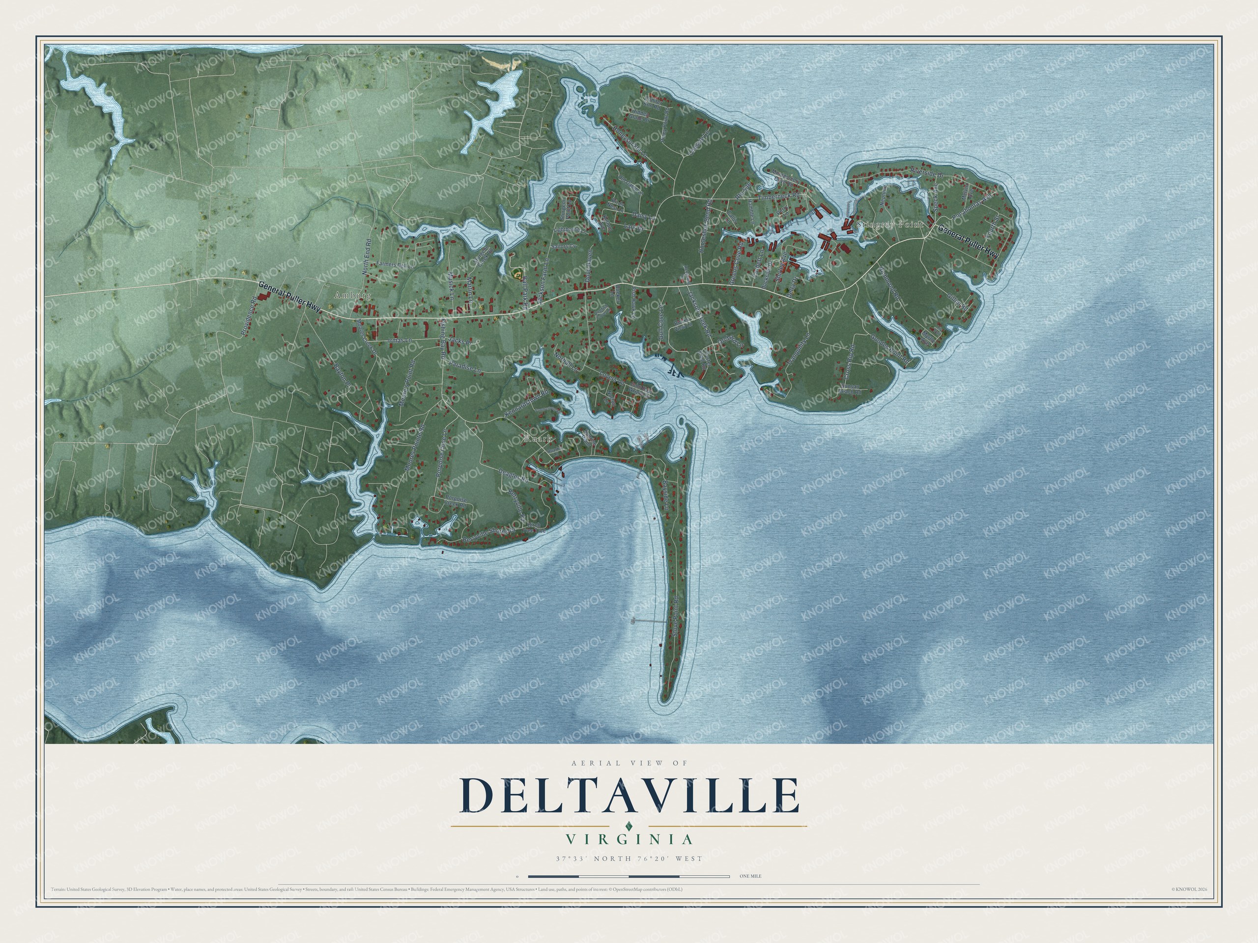
This beautifully detailed map of Deltaville, Virginia was created in 2026 using aerial imagery combined with modern topographical, census, street and landmark data. It's a modern aerial view of Deltaville in Middlesex County, Virginia, that combines modern data with a vintage aesthetic. The roads feature printed names, and if you look closely you can find your exact house accurately shown in its correct location.
Explore an aerial view of Deltaville, Virginia
On this map you'll find Stingray Point, Amburg, Ruark, General Puller Highway, Fishing Bay Road, Timberneck Road, Stove Point Road, Riverside Drive, Moores Pointe Road, Lovers Lane, Horseshoe Bend Road, Tranquility Lane, and more. Each red shape is a building, so zoom in on the preview and look for yours.
Deltaville has a story worth telling. Captain John Smith's boat ran aground at the mouth of the Rappahannock River on 17 July 1608. While his men waited for the tide, Smith speared a cownose ray that drove its tail spine into his wrist. His arm swelled, but by evening he was well enough to eat the ray for supper, and he named the place Stingray Point. That's from the Virginia Department of Historic Resources.
Deltaville is a community in Middlesex County. The Census Bureau counted 1,057 people here in 2020.
Take a closer look at the Deltaville map
Names on this map
These names are printed on this map.
Places: Stingray Point, Amburg and Ruark.
Streets and roads: General Puller Highway, Fishing Bay Road, Timberneck Road, Stove Point Road, Riverside Drive, Moores Pointe Road, Lovers Lane, Horseshoe Bend Road, Tranquility Lane, Cross Rip Road, Deagles Road, North End Road.
More street names, A to Z
Ball Park Road, Bayside Lane, Bayton Place, Berryville Road, Berryville Shores Drive, Birch Tree Trce, Birds Nest Lane, Bucks View Lane, Bueker Lane, Callis Lane, Chessie Lane, Conifer Run Road, Corbett Lane, Daisy Lane, Delta Drive, Dockside Drive, Dogfish Cove Lane, Dove Haven, Farmers Dell Lane, Fish Hawk Lane, Fourth Street, Gillim Road, Goodes Point Road, Greens Cove Road, Gull Cove Lane, Hamble Lane, Hidden Glade Drive, Honeysuckle Lane, Irmas Lane, Jackson Creek Road, Jackson Farm Lane, Jacks Place, John East Wright Drive, Kellum Avenue, Kennardstown Road, Lark Drive, Lighthouse Lane, Lily Trail, Martin Lane, Melvin Avenue, Montgomery Cove Road, Moore's Point Road, Moores Creek Drive, Musick Lane, Myrtle Avenue, Neptune Lane, Norhall Lane, Norton Lane, Old Camp Lane, Orchard Lane, Oyster Shell Road, Paradise Lane, Perry Lane, Piney Point Road, Pocahontas Avenue, Porpoise Cove Lane, Porpoise Creek Road, Providence Road, Recycling Drive, Richmond Road, Route 636, Ruarks Lane, Sailors Cv, Shirley Avenue, Speck Avenue, Sturgeon Creek Road, Sturgeon Point Lp, Summerlynn Road, Sunrise Point, Sunsan Beach Road.
See it on a wall
The Deltaville map as a framed print. Swipe for more.


Created by KNOWOL in 2026. The buildings are small red shapes, the roads carry their printed names, and shaded relief shows the shape of the land. The title panel reads "AERIAL VIEW OF DELTAVILLE, VIRGINIA" with 37°33' NORTH 76°20' WEST.
It looks right in a kitchen, an office or a den, and it's a gift for anyone who grew up in Deltaville or moved away. Open the preview and find your street. See sizes and frames for the Deltaville map.