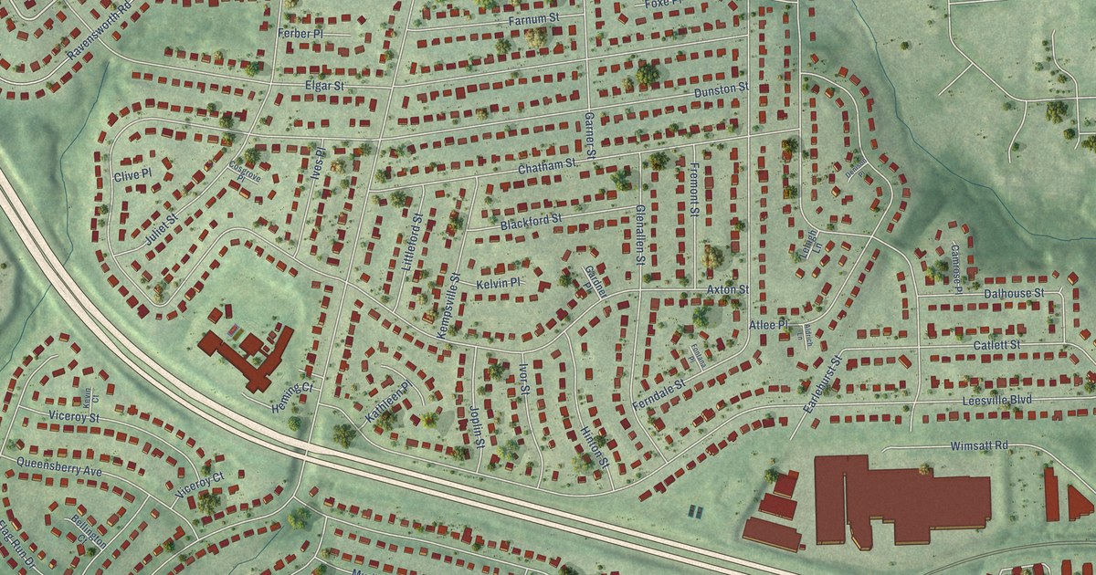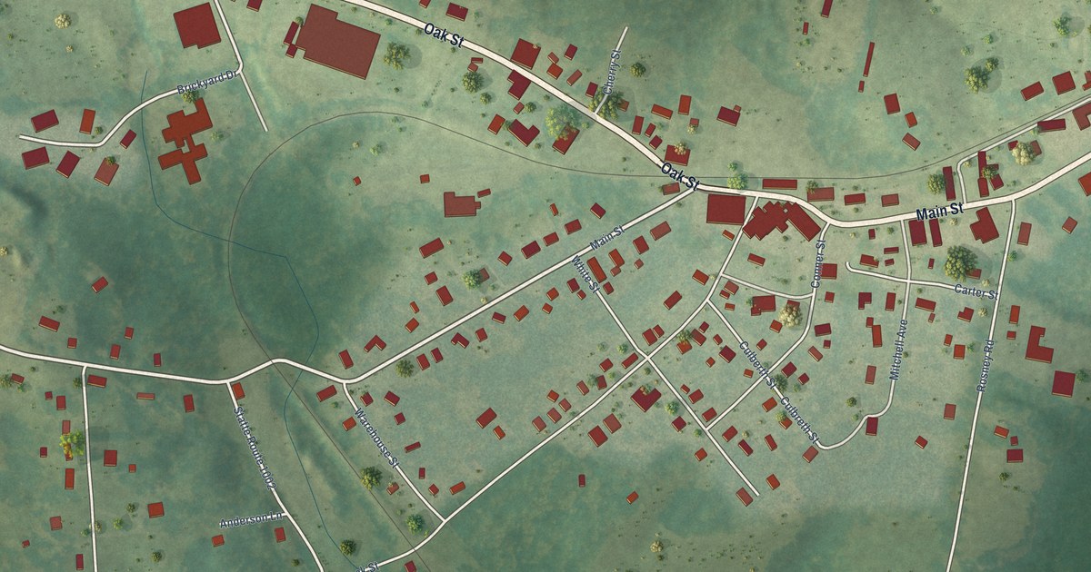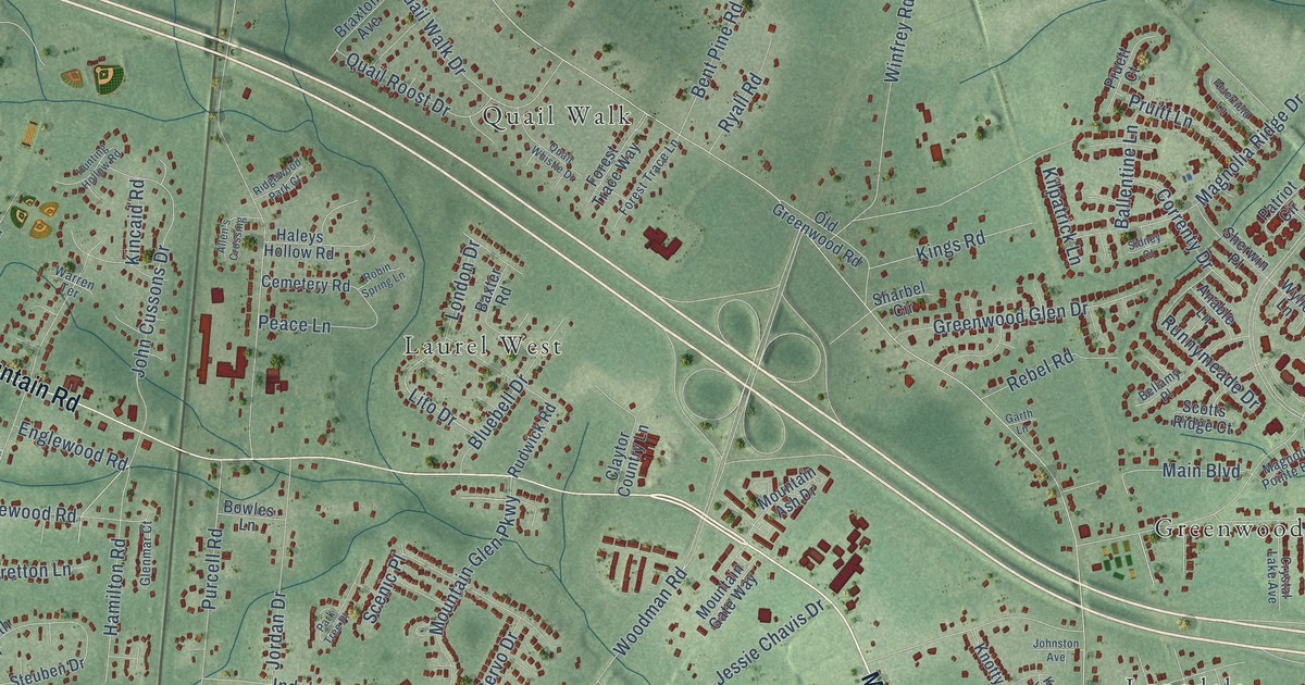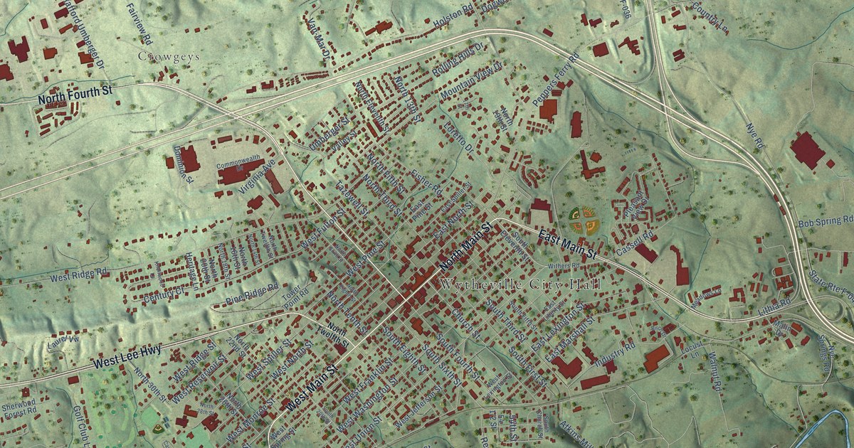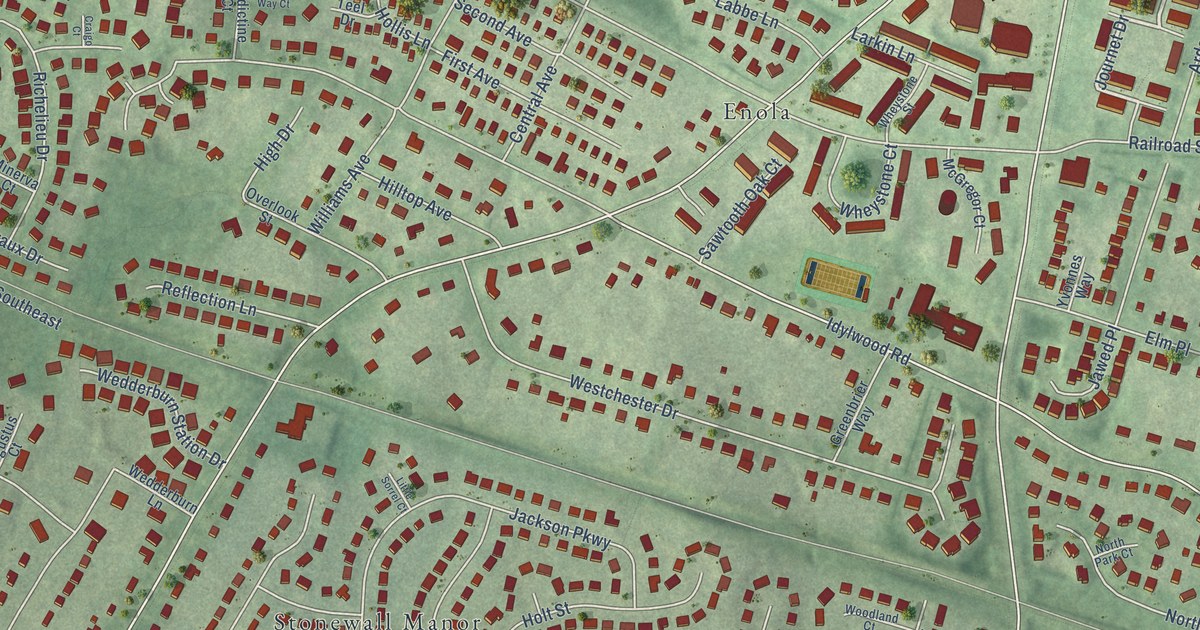
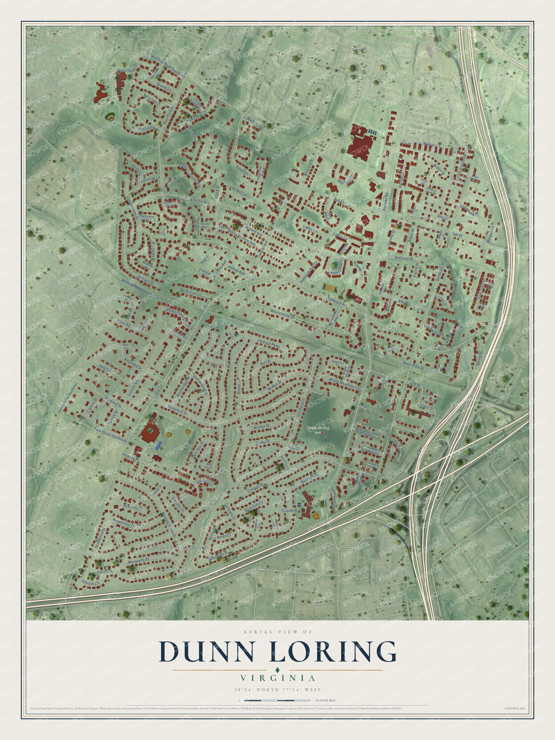
This beautifully detailed map of Dunn Loring, Virginia was created in 2026 using aerial imagery combined with modern topographical, census, street and landmark data. It's a modern aerial view of Dunn Loring in Fairfax County, Virginia, that combines modern data with a vintage aesthetic. The roads feature printed names, and if you look closely you can find your exact house accurately shown in its correct location.
Explore an aerial view of Dunn Loring, Virginia
On this map you'll find Dunn Loring Park, Dunn Loring Woods, Enola, Glenmere, Stonewall Manor, Journet Drive, Notre Dame Drive, Central Avenue, Sandburg Street, Hollis Lane, Cedar Lane, Gallows Road, and more. Each red shape is a building, so zoom in on the preview and look for yours.
Every town has a first chapter, and Dunn Loring is no exception. The Virginia Department of Historic Resources puts it this way: "The large military population greatly affected the lives of the residents of the small communities of Falls Church and Dunn Loring."
Dunn Loring is a community in Fairfax County. The Census Bureau counted 9,464 people here in 2020.
Take a closer look at the Dunn Loring map
Names on this map
These names are printed on this map.
Places: Dunn Loring Park, Dunn Loring Woods, Enola, Glenmere and Stonewall Manor.
Streets and roads: Journet Drive, Notre Dame Drive, Central Avenue, Sandburg Street, Hollis Lane, Cedar Lane, Gallows Road, Idylwood Road, Cottage Street, Electric Avenue, Wolftrap Road, Jackson Parkway.
More street names, A to Z
Acorn Circle, Addison Street, Amanda Court, Amanda Place, Antioch Circle, Aponi Road, Arden Court, Arden Street, Augustus Court, Barkham Lane, Bell Lane, Benedictine Court, Berea Court, Berea Drive, Betterton Court, Blevins Way Court, Blitz Court, Bowdoin Circle, Bowling Green Drive, Briarcliff Court, Bright Meadows Lane, Bright Wood Drive, Bucknell Drive, Bull Run Court, Cardinal Glen Court, Carnegie Drive, Casmar Street, Cedar Mill Court, Cedar Street, Chestertown Drive, Citadel Place, Coal Train Drive, Colby Court, Colby Street, Connirae Lane, Craigo Court, Dennis Drive, Depaul Drive, Drexel Street, Elm Place, Falcone Pointe Way, Fardale Street Southeast, First Avenue, Fourth Place, Foxmoor Drive, Frank Street, Frick Way, Galesburg Place, Gina Place, Goldentree Way, Greenbrier Way, Harithy Drive, High Drive, Hilltop Avenue, Holt Street, Iliff Drive, Ithaca Street, Janet Lane, Jawed Place, Judy Witt Lane, Labbe Lane, Larkin Lane, Lellah Court, Little Sorrel Court, Litwalton Court, Locust Drive, Luckett Avenue, Madron Lane, Malraux Drive, Marquette Street, Marymount Lane, Matt Court, McGregor Court, McHenry Street, McNeil Street, Minerva Court, Morgan Lane, Ninovan Road Southeast, North Park Court, North Park Street, Oak Street, Occidental Drive, Otis Court, Overlook Street, Park Street Southeast, Parsons Grove Court, Patrick Street, Pearl Fog Way, Pepperdine Drive, Prichards Court, Quaint Lane, Railroad Street, Redwood Drive, Reflection Lane, Rehoboth Court, Revatom Court, Richelieu Drive, Robin Way Court, Rockbridge Street, Sabrina Drive, Sagarmal Court, Sandburg Hill Court, Sawtooth Oak Court, Second Avenue, Shawn Court, Shenandoah Street, Shreve Hill Road, Silentree Drive, Skidmore Circle, Spring Street, Stefan Drive, Stenhouse Place, Stonewall Drive, Swift Run Street, Syracuse Circle, Teel Drive, Timber Valley Court, Tire Swing Road, Train Court, Tysons Court, Tysons Executive Court, Villanova Drive, Walters Glen Way, Wedderburn Lane, Wedderburn Station Drive, Wesleyan Street, Westchester Drive, Westglen Court, Wheystone Court, Wheystone Street, Williams Avenue, Winder Street, Wolftrap Court, Wolftrap Road Southeast, Woodford Forest Place, Woodford Road, Woodland Court, Wooster Court, Yvonnes Way.
Created by KNOWOL in 2026. The buildings are small red shapes, the roads carry their printed names, and shaded relief shows the shape of the land. The title panel reads "AERIAL VIEW OF DUNN LORING VIRGINIA".
Hang it in the hallway, the office or the cabin, or give it to someone who left Dunn Loring and still calls it home. Open the preview and look for a street you know. See sizes and frames for the Dunn Loring map.