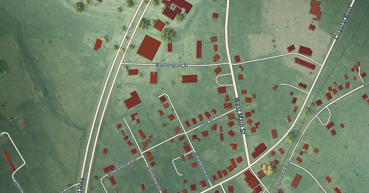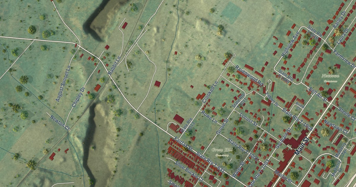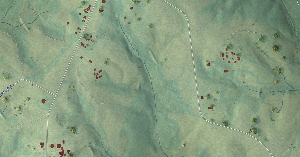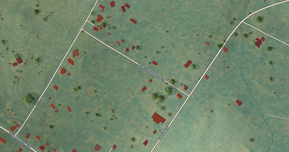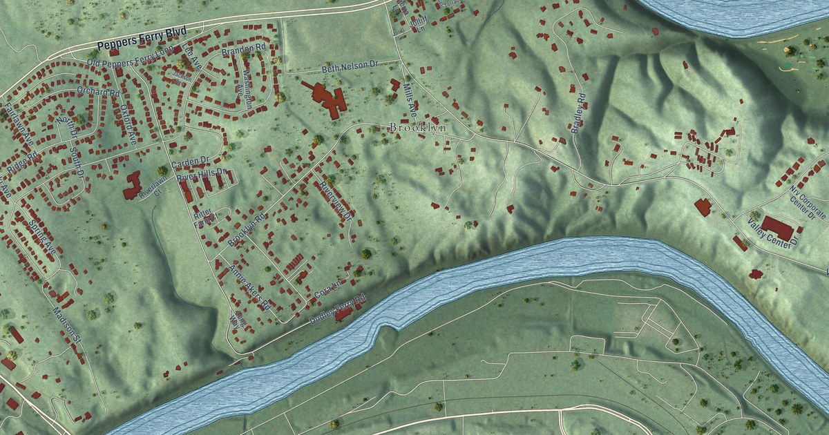
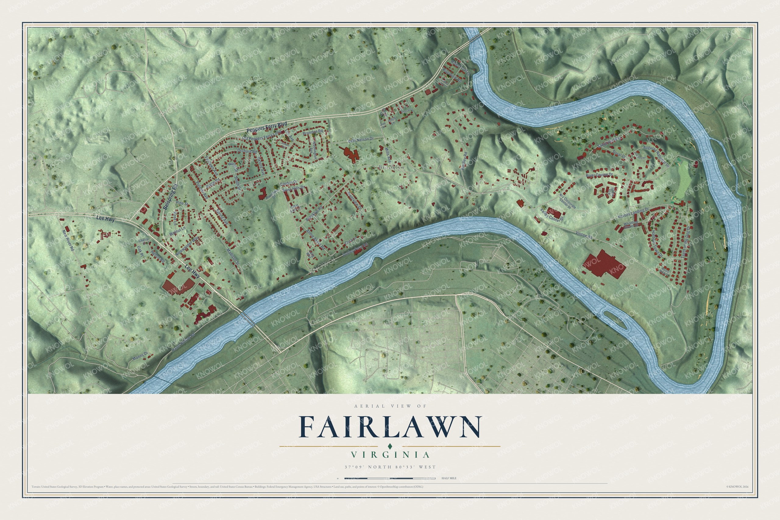
This beautifully detailed map of Fairlawn, Virginia was created in 2026 using aerial imagery combined with modern topographical, census, street and landmark data. It's a modern aerial view of Fairlawn in Pulaski County, Virginia, that combines modern data with a vintage aesthetic. The roads feature printed names, and if you look closely you can find your exact house accurately shown in its correct location.
Explore an aerial view of Fairlawn, Virginia
On this map you'll find Brooklyn, Lee Highway, Peppers Ferry Boulevard, Belspring Road, Spring Avenue, Viscoe Road, Brandon Road, Dudley Ferry Road, River Course Drive, Herons Landing Drive, Brooklyn Road, Bradley Road, and more. Each red shape is a building, so zoom in on the preview and look for yours.
Fairlawn is a community in Pulaski County. The Census Bureau counted 2,419 people here in 2020. Fairlawn sits about 2 miles northeast of Radford, 2 miles southwest of Belview and 3 miles northwest of Plum Creek. The map prints the town name in its title panel, with the coordinates below it.
Take a closer look at the Fairlawn map
Names on this map
These names are printed on this map.
Places: Brooklyn.
Streets and roads: Lee Highway, Peppers Ferry Boulevard, Belspring Road, Spring Avenue, Viscoe Road, Brandon Road, Dudley Ferry Road, River Course Drive, Herons Landing Drive, Brooklyn Road, Bradley Road, Hazel Hollow Road.
More street names, A to Z
Annie Akers Road, Augusta National Drive, Bay Hill Court, Beth Nelson Drive, Carden Drive, Cherry Court, Cora Lane, Doral Drive, Fairlawn Avenue, Flower Land Lane, Harbour Town Drive, Hylton Road, Jackson Avenue, Joliff Lane, Jolliff Lane, Lee Avenue, Long Way, Madison Street, Manns Drive, Mills Avenue, Mystic Rock Court, New River Road, Nicewander Way, North Drive, Nrv Corporate Center Drive, Oak Place, Old Peppers Ferry Loop, Orchard Road, Oxford Avenue, Pinehurst Place, Pine Street, Pulaski Avenue, Ridge Road, Ritter Farm Court, River Front Drive, River Hills Drive, Riverlawn Court, Riverview Drive, Riverview Road, Rose Lane, Sawgrass Way, Sierra Lane, South Drive, Sunset Terrace Lane, Teeth of the Dog Drive, Valley Center Drive, Walnut Lane, Washington Avenue, Whistling Straits Drive.
See it on a wall
The Fairlawn map as a framed print. Swipe for more.


Created by KNOWOL in 2026. The buildings are small red shapes, the roads carry their printed names, and shaded relief shows the shape of the land. The title panel reads "AERIAL VIEW OF FAIRLAWN, VIRGINIA" with 37°09' NORTH 80°33' WEST.
Hang it in the hallway, the office or the cabin, or give it to someone who left Fairlawn and still calls it home. Open the preview and look for a street you know. See sizes and frames for the Fairlawn map.