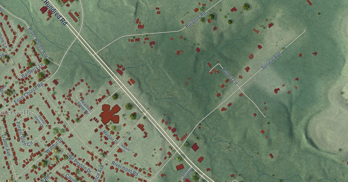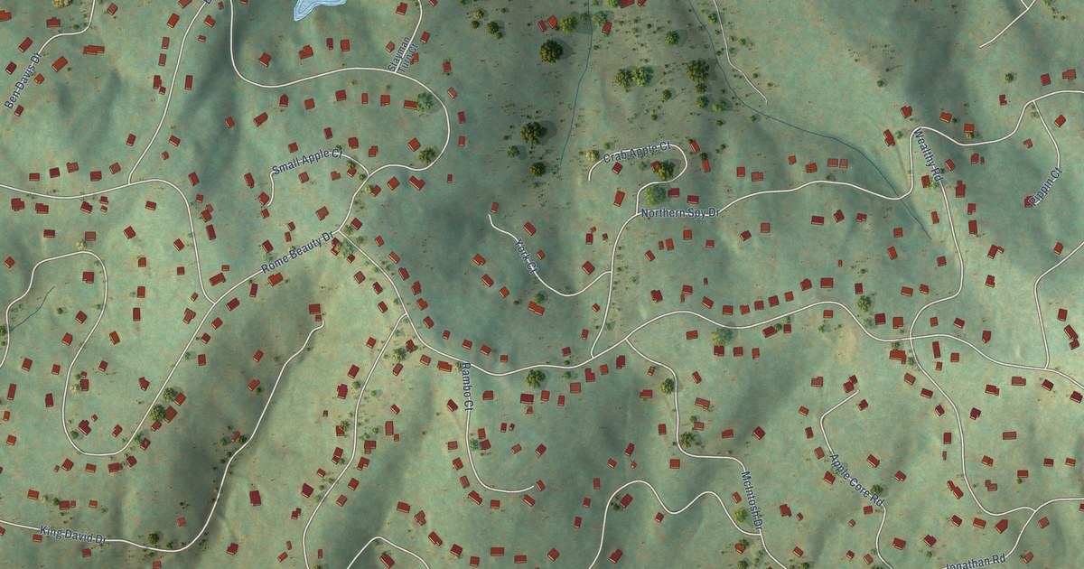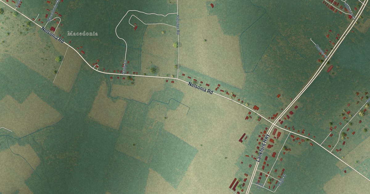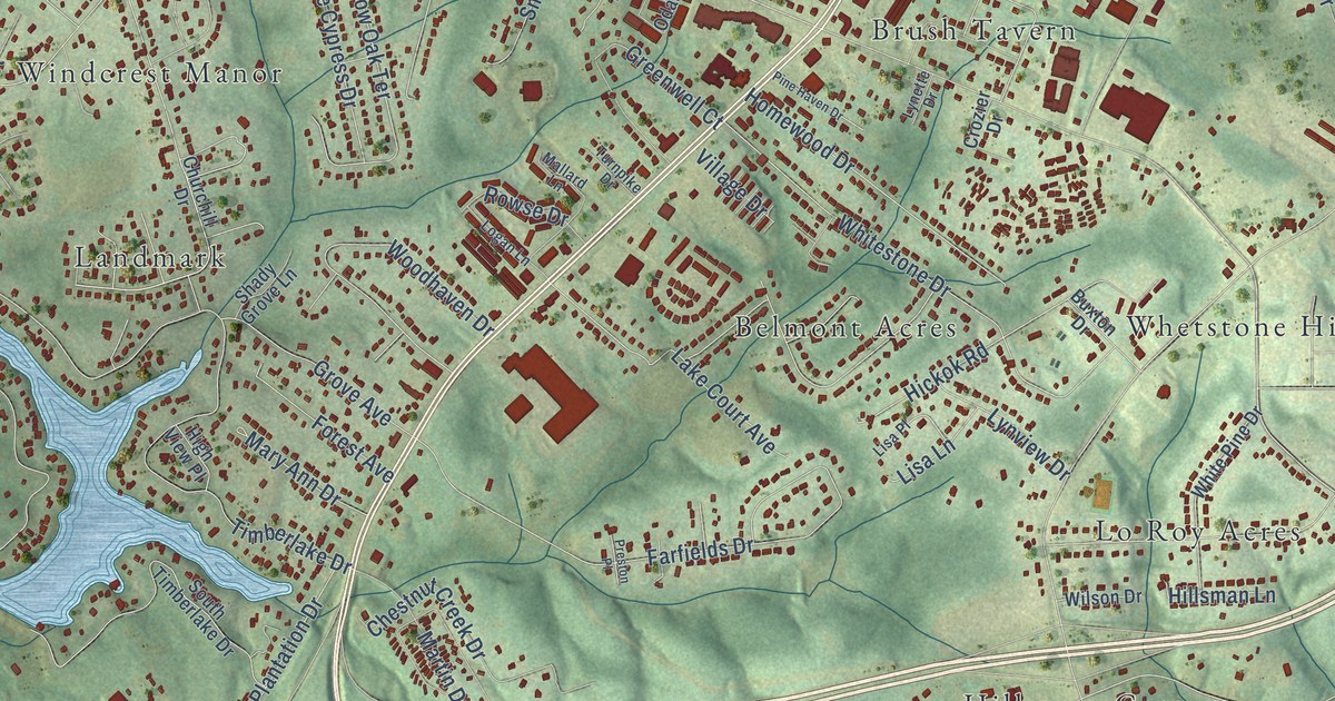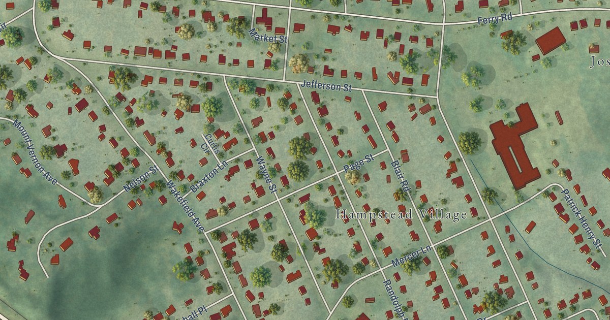
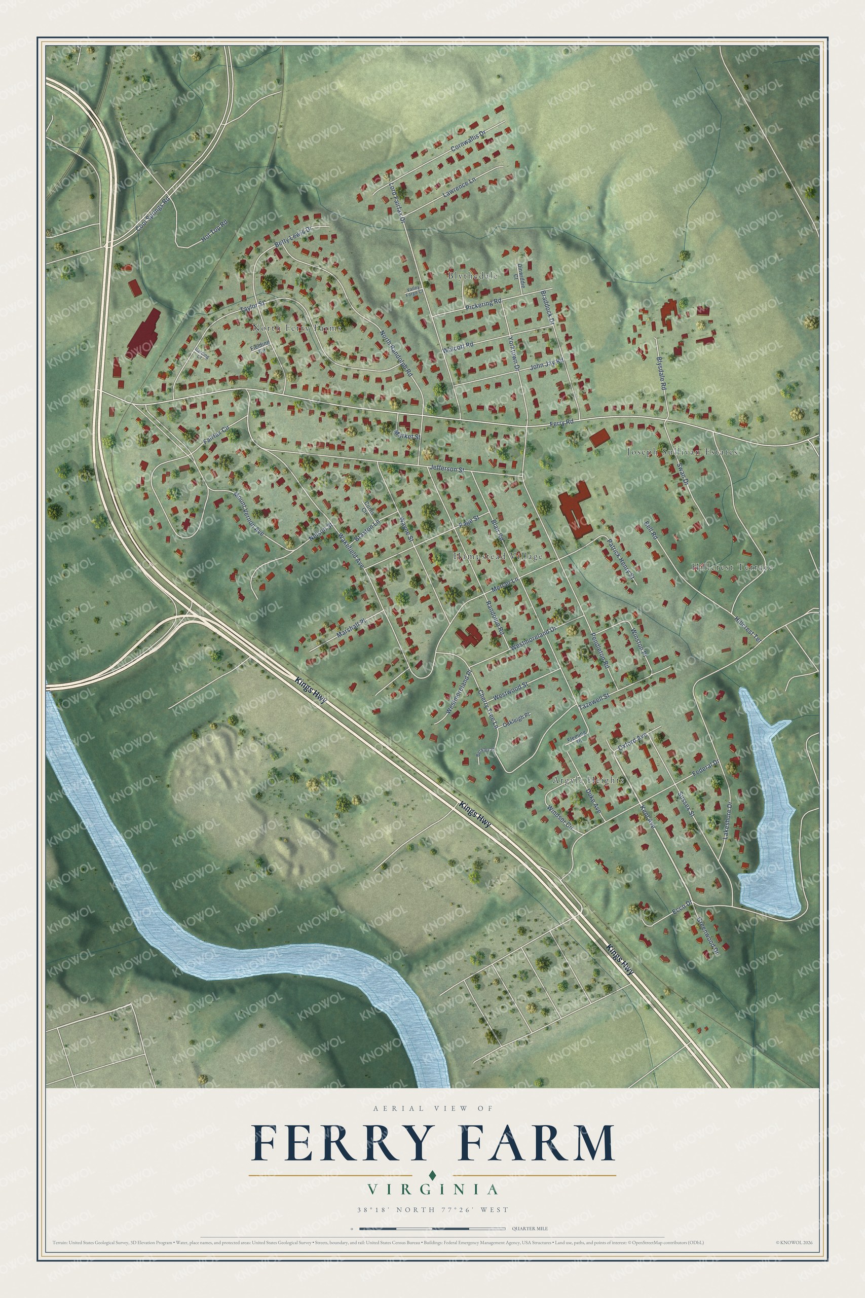
This beautifully detailed map of Ferry Farm, Virginia was created in 2026 using aerial imagery combined with modern topographical, census, street and landmark data. It's a modern aerial view of Ferry Farm in Stafford County, Virginia, that combines modern data with a vintage aesthetic. The roads feature printed names, and if you look closely you can find your exact house accurately shown in its correct location.
Explore an aerial view of Ferry Farm, Virginia
On this map you'll find Hampstead Village, Blythedale, Argyle Heights, North Ferry Farms, Hillcrest Terrace, Joseph Sullivan Estates, Kings Highway, Kent Avenue, Federal Drive, Ferry Road, Wakefield Avenue, Lakeshore Drive, and more. Each red shape is a building, so zoom in on the preview and look for yours.
Ferry Farm is a community in Stafford County. Ferry Farm sits about 2 miles southeast of Chatham Heights, 2 miles south of Grafton Village and 3 miles east of Fredericksburg. The map prints the town name in its title panel, with the coordinates below it.
Take a closer look at the Ferry Farm map
Names on this map
These names are printed on this map.
Places: Hampstead Village, Blythedale, Argyle Heights, North Ferry Farms, Hillcrest Terrace and Joseph Sullivan Estates.
Streets and roads: Kings Highway, Kent Avenue, Federal Drive, Ferry Road, Wakefield Avenue, Lakeshore Drive, Jefferson Street, Taylor Street, Mount Vernon Avenue, Blair Road, North Randolph Road, Pendleton Road.
More street names, A to Z
Bell Road, Berkley Place, Betty Lewis Drive, Blysdale Road, Braddock Drive, Braxton Lane, Cherry Tree Lane, Cool Springs Road, Cornwallis Drive, Curtis Circle, Dinwiddie Court, Duke Avenue, Ecco Drive, Fairfax Circle, Fielding Circle, Fleming Place, Greenwood Drive, Harding Court, Hot Top Road, John Jay Road, Lawrence Lane, Lord Fairfax Drive, Market Street, Marshall Place, Mercer Lane, Nelson Street, Oakleigh Place, Oxford Avenue, Page Street, Patrick Henry Street, Pickering Road, Randolph Road, Sussex Street, Swan Drive, Tazewell Street, Valley Forge Court, Wayne Street, Westmoreland Drive, Westmoreland Place, Westwood Street, Windsor Circle, Winston Place, Wolcott Road, Yorktown Drive.
See it on a wall
The Ferry Farm map as a framed print. Swipe for more.


Created by KNOWOL in 2026. The buildings are small red shapes, the roads carry their printed names, and shaded relief shows the shape of the land. The title panel reads "AERIAL VIEW OF FERRY FARM, VIRGINIA" with 38°18' NORTH 77°26' WEST.
Hang it in the hallway, the office or the cabin, or give it to someone who left Ferry Farm and still calls it home. Open the preview and look for a street you know. See sizes and frames for the Ferry Farm map.