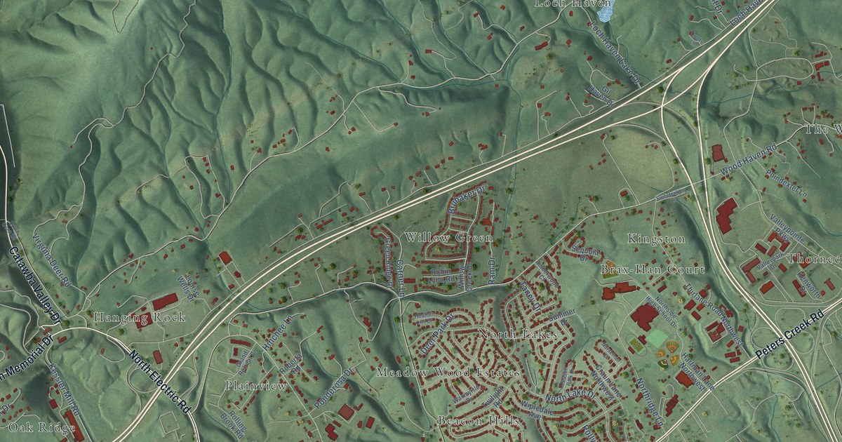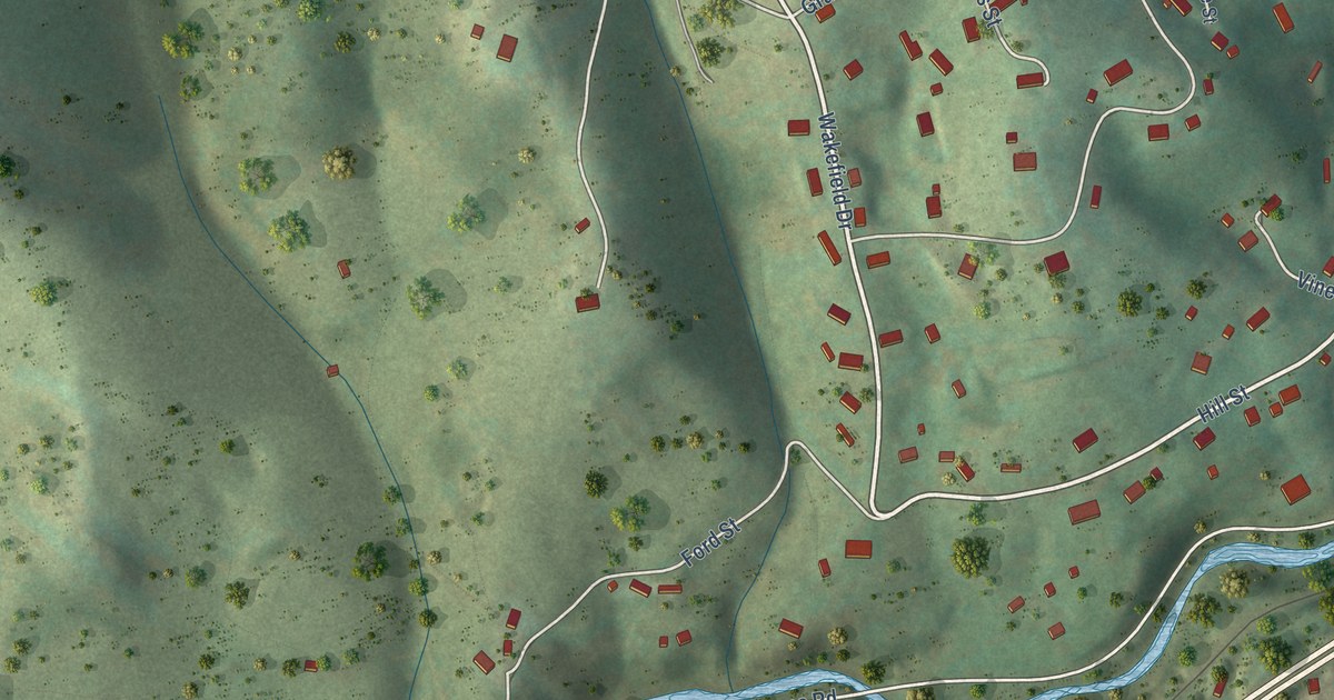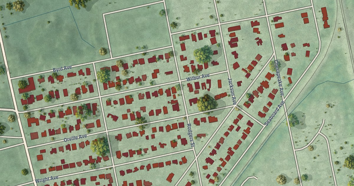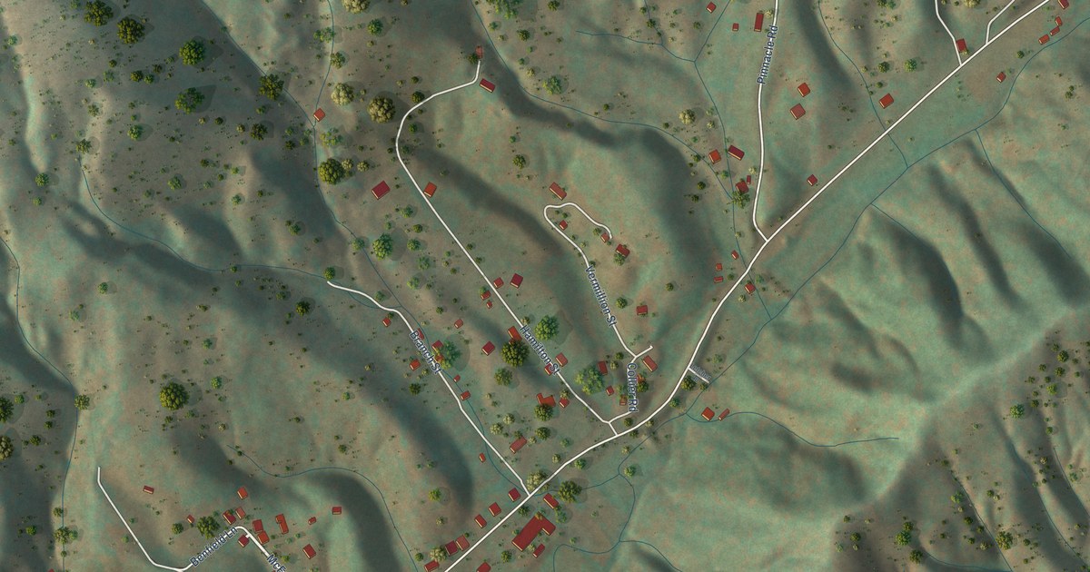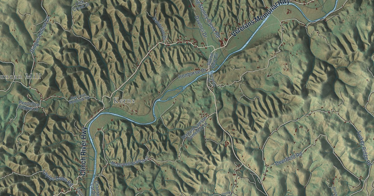
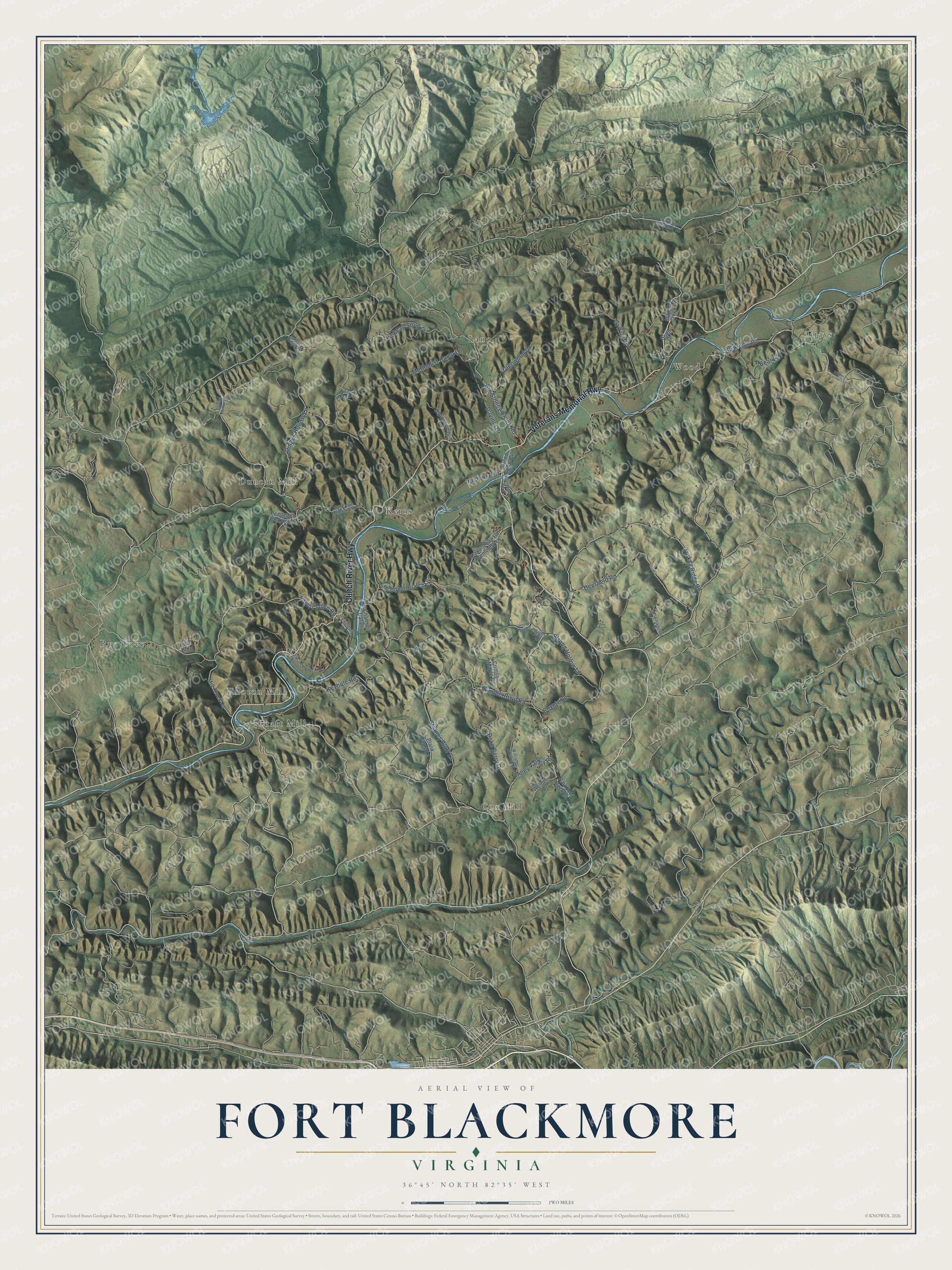
This beautifully detailed map of Fort Blackmore, Virginia was created in 2026 using aerial imagery combined with modern topographical, census, street and landmark data. It’s a one-of-a-kind view of Fort Blackmore that combines accurate data with a vintage aesthetic. The map shows every building in its true location, many of the roads carry their names, and the shaded topographic relief shows the shape of the land.
Explore an aerial view of Fort Blackmore, Virginia
On the map you’ll find Kerns, Rye Cove, Cox Mill, Lano, Wood, Craft Mill, Duncan Mill, Rhoton Mill, and Grays, along with Veterans Memorial Highway, Clinch River Highway, Alley Valley Road, and more. If you look closely you can even find your house accurately drawn in its correct location. Zoom in on the preview to look for yours.
Take a closer look at the Fort Blackmore map
Names on this map
These names are printed on this map.
Places: Kerns, Rye Cove, Cox Mill, Lano, Wood, Craft Mill, Duncan Mill, Rhoton Mill and Grays.
Streets and roads: Veterans Memorial Highway, Clinch River Highway, Alley Valley Road, Starnes Bluff Lane, Turkey Ridge Road, Deerfield Road, Taylor Town Road, Kinkead Store Drive, Keyhole Road, Dingus Hollow Lane, Big Stoney Creek Road, Kimblertown Road.
More street names, A to Z
Backwoods Drive, Bear Lane, Bird Road, Casteel Hollow Road, Channel Cat Drive, Coyote Lane, Crimson Maple Drive, Dandelion Drive, Davinci Drive, Express Lane, Giant Drive, Glenwood Drive, Grizzly Drive, Gum Drive, Hairpin Drive, Hickory Corners Lane, Honey Bee Lane, Hunters Valley East Road, Ironhorse Drive, Island View Circle, Islandview Circle, Lick Creek Drive, McDowell Branch Lane, Methodist Camp Lane, Mill Creek Road, Odessa Ridge Road, Pendelton Chapel Lane, Plank Camp Lane, Poke Berry Drive, Rainbow Rock Lane, River Bluff Road, Rye Cove Memorial Road, Sallings Monument Lane, Stallard Lawson Cemetery Lane, Staunton Creek Lane, Strong Hollow Lane, Welders Drive, Williams Hollow Drive, Wood Circle.
See it on a wall
The Fort Blackmore map as a framed print. Swipe for more.


This beautifully detailed map of Fort Blackmore makes an attractive addition to your office, library, or den, and it can even be used to teach children the geography and history of the area. It also makes a great gift for anyone with Fort Blackmore roots. When you’re done exploring, click here to get your copy of the Fort Blackmore map.