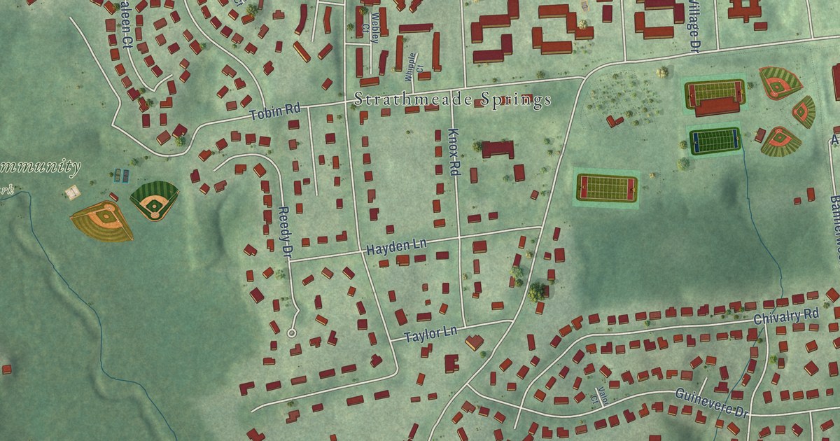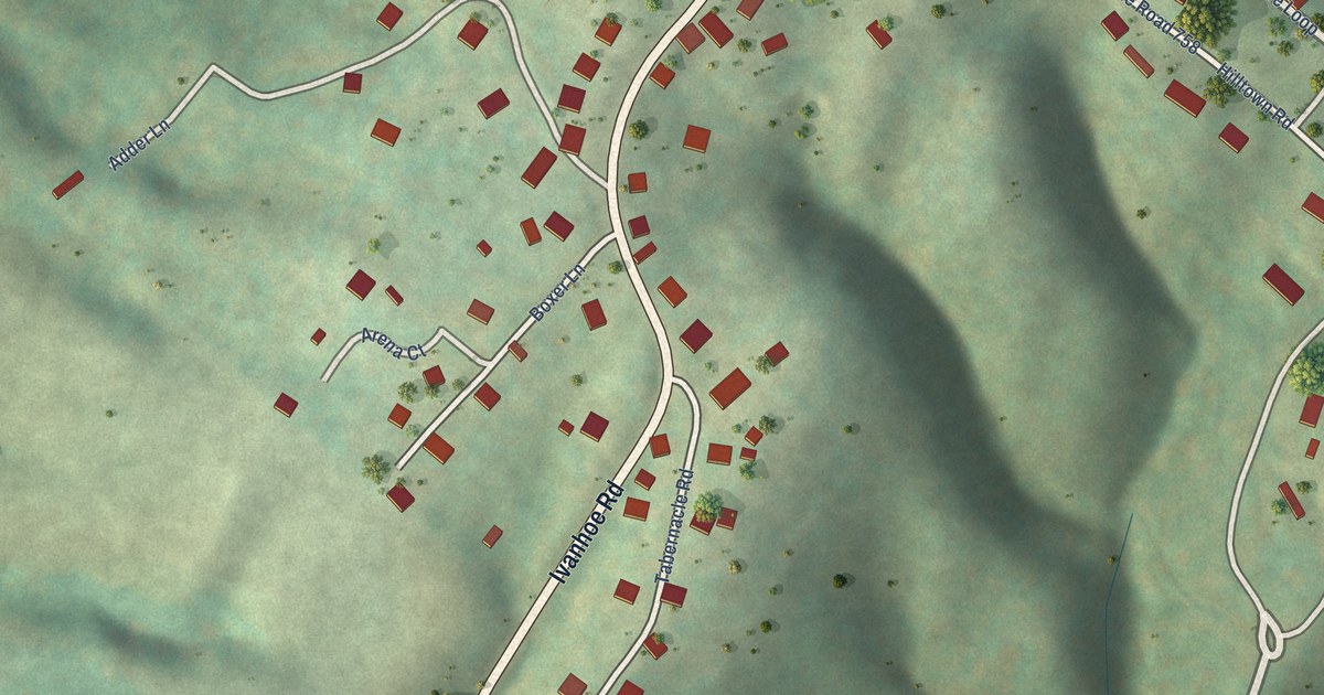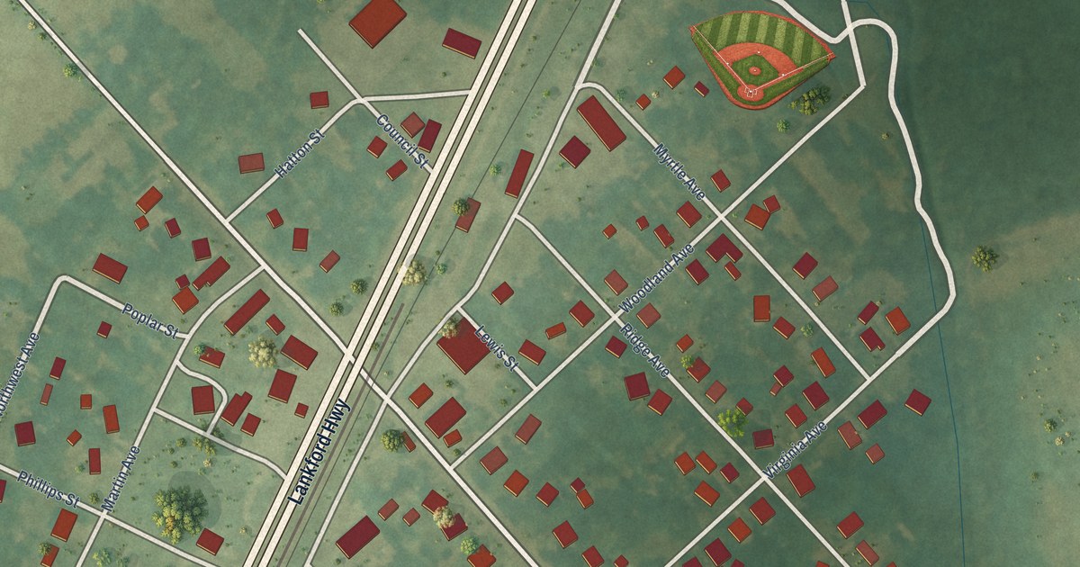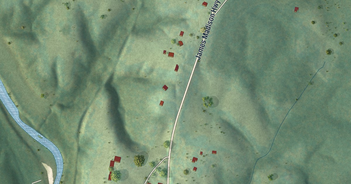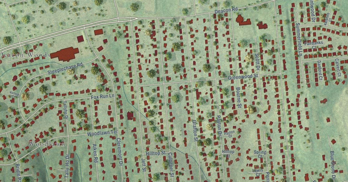
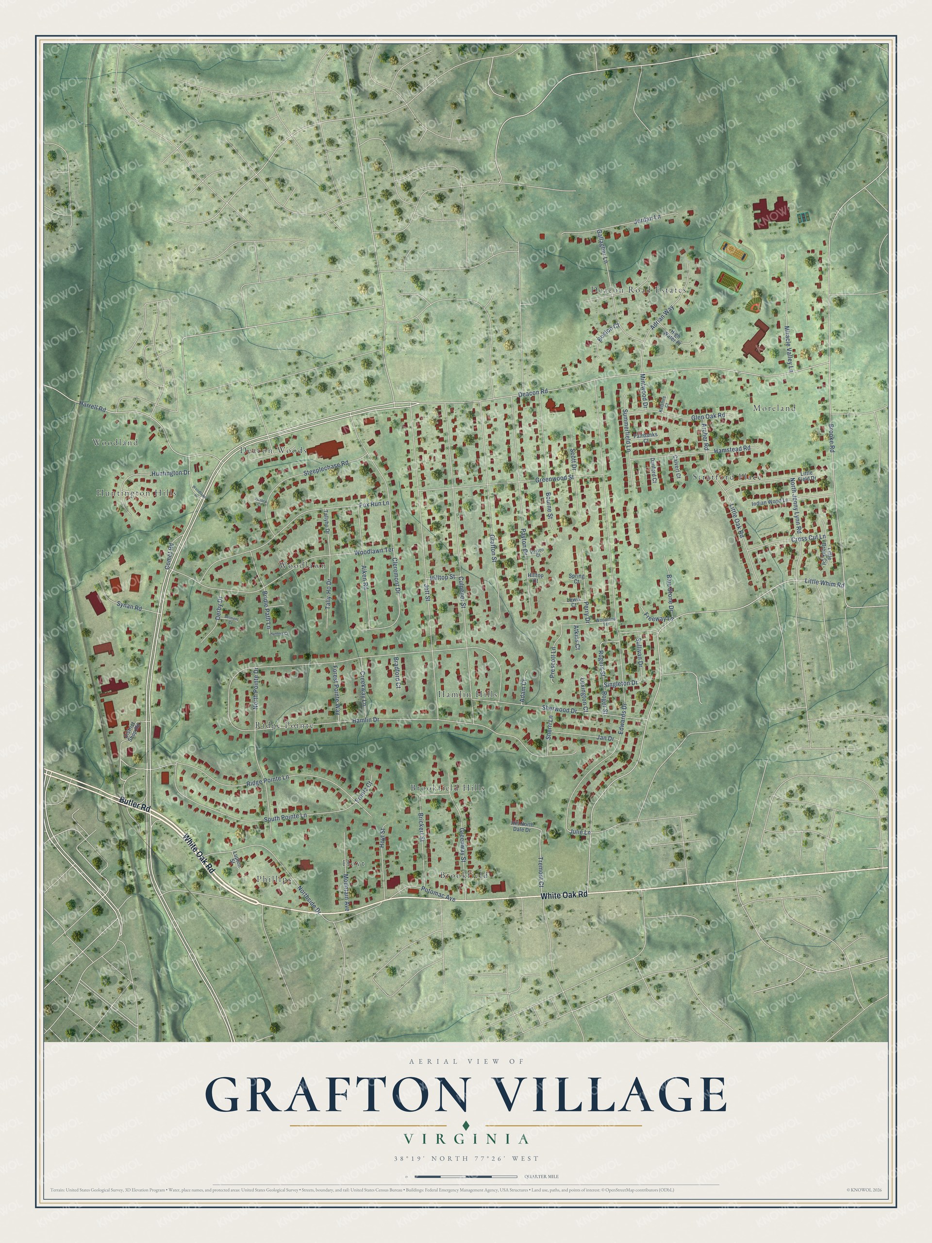
This beautifully detailed map of Grafton Village, Virginia was created in 2026 using aerial imagery combined with modern topographical, census, street and landmark data. It's a modern aerial view of Grafton Village in Stafford County, Virginia, that combines modern data with a vintage aesthetic. The roads feature printed names, and if you look closely you can find your exact house accurately shown in its correct location.
Explore an aerial view of Grafton Village, Virginia
On this map you'll find Hamlin Hills, Deacon Road Estates, Phillips, Woodland, Stratford Place, Ridge Pointe, Brookfield, Deacon Woods, Woodlawn, Brookfield Hills, Moreland, Hoyt, and more. Each red shape is a building, so zoom in on the preview and look for yours.
Grafton Village is a community in Stafford County. Grafton Village sits about 2 miles northeast of Chatham Heights, 2 miles southeast of Falmouth and 2 miles north of Ferry Farm. The map prints the town name in its title panel, with the coordinates below it.
Take a closer look at the Grafton Village map
Names on this map
These names are printed on this map.
Places: Hamlin Hills, Deacon Road Estates, Phillips, Woodland, Stratford Place, Ridge Pointe, Brookfield, Deacon Woods, Woodlawn, Brookfield Hills, Moreland, Hoyt and Huntington Hills.
Streets and roads: White Oak Road, Butler Road, Deacon Road, Tremont Court, Hamlin Drive, Edwards Drive, Little Whim Road, Brooke Road, Culpeper Street, Jett Street, Cleremont Drive, Woodlawn Terrace.
More street names, A to Z
Adam Court, Adrian Way, Aiken Road, Archer Road, Atkins Court, Belmont Court, Blue Stone Drive, Boston Court, Bourne Street, Bradford Court, Brickert Street, Bridle Path Lane, Calvert Court, Comet Road, Creekway Lane, Cross Cut Lane, Danford Court, Derby Drive, District Shop Road, Fairbanks Court, Forest Pointe Way, Fox Run Lane, Frantz Court, Freeway Lane, Gallagher Lane, Glen Oak Road, Grafton Street, Greenway Street, Greenwood Street, Hamstead Road, Harrell Road, High Water Place, Hill North Dale Drive, Hilltop Court, Hilltop Street, Hoyt Street, Hunters Court, Huntington Drive, Indian Wood Lane, Jan Drive, Jordan Lane, Julie Lane, Kelshire Court, Lewis Court, Lexington Court, Little Brook Circle, Little Field Drive, Little Oak Road, Lupton Street, Mintwood Drive, Miracle Valley Lane, Mountain Avenue, North Jenny Lynn Road, North Pointe Drive, Northside Drive, Payton Court, Payton Drive, Perry Drive, Potomac Avenue, Prescott Lane, Ridge Pointe Lane, Rogers Street, Roger Street, Scott Drive, Sherri Lane, Sherwood Drive, Singleton Drive, South Pointe Lane, Spring Court, Steeplechase Road, Sullivan Drive, Summerfield Lane, Synan Road, Tally-Ho Drive, Tallyho Drive, Victory Court, Woodland Terrace, Woodlawn Drive.
See it on a wall
The Grafton Village map as a framed print. Swipe for more.


Created by KNOWOL in 2026. The buildings are small red shapes, the roads carry their printed names, and shaded relief shows the shape of the land. The title panel reads "AERIAL VIEW OF GRAFTON VILLAGE, VIRGINIA" with 38°19' NORTH 77°26' WEST.
It suits a den, a classroom or a front hall, and it makes a gift for anyone with Grafton Village roots. Open the preview and find the block you know. See sizes and frames for the Grafton Village map.