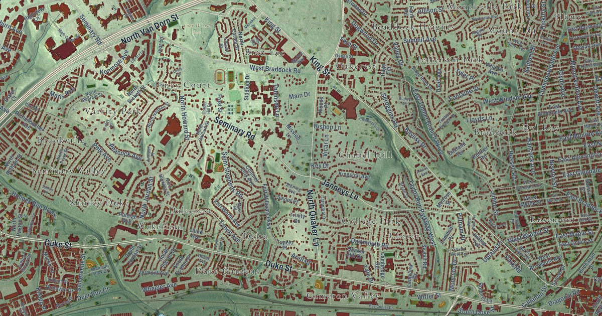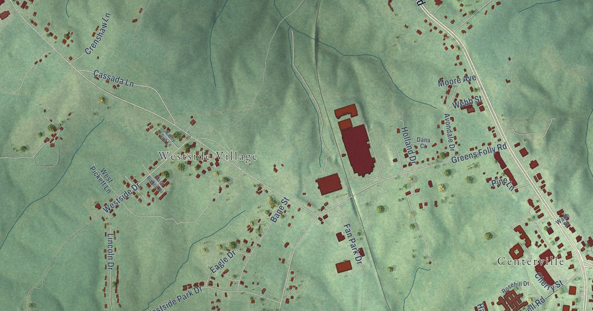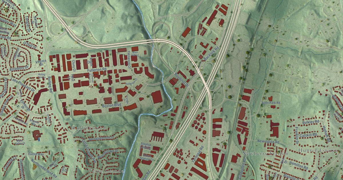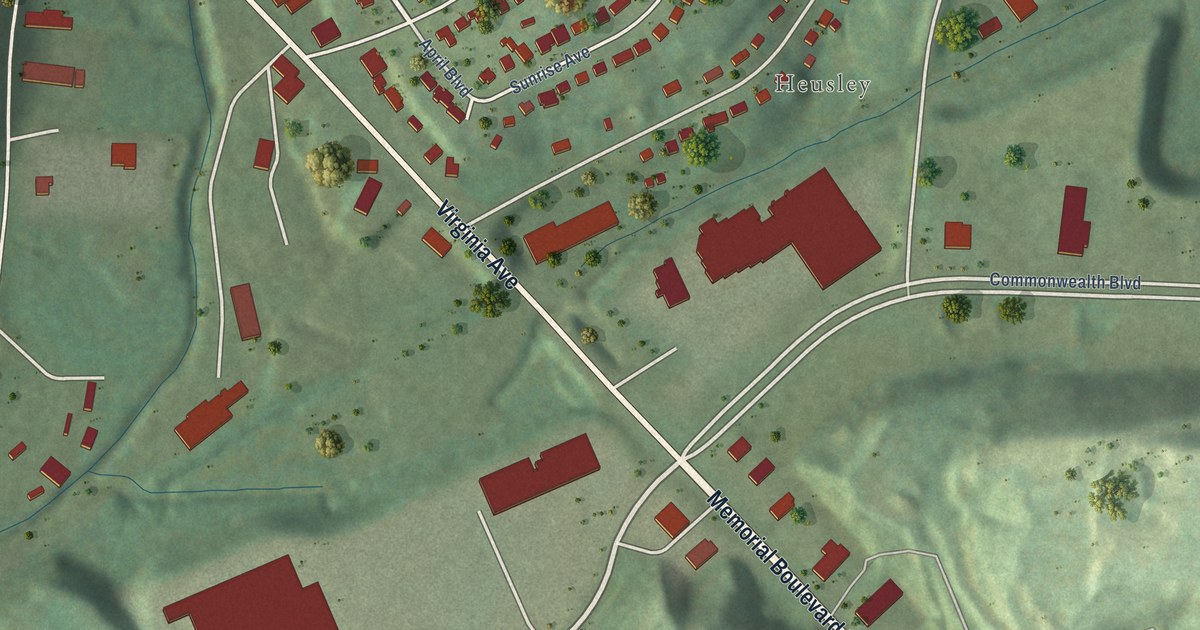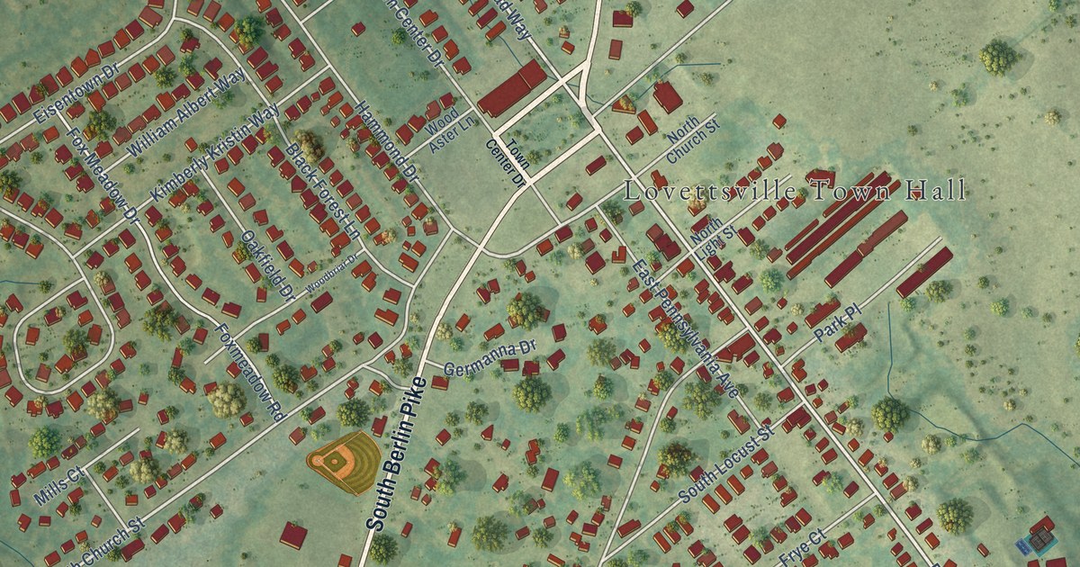
This beautifully detailed map of Lovettsville, Virginia was created in 2026 using aerial imagery combined with modern topographical, census, street and landmark data. It’s a one-of-a-kind view of Lovettsville that combines accurate data with a vintage aesthetic. The map shows every building in its true location, many of the roads carry their names, and the shaded topographic relief shows the shape of the land.
Explore an aerial view of Lovettsville, Virginia
On the map you’ll find Lovettsville Town Hall and Keister, along with North Berlin Pike, South Berlin Pike, East Broad Way, West Broad Way, South Church Street, Eisentown Drive, South Loudoun Street, Keister Lane, Lutheran Church Road, Potterfield Drive, and more. If you look closely you can even find your house accurately drawn in its correct location. Zoom in on the preview to look for yours.
Did you know this piece of Lovettsville, Virginia history?
Lovettsville grew from a German immigrant settlement. David Lovett divided his land into small town lots in 1820. During the Civil War, the community voted against secession.
Take a closer look at the Lovettsville map
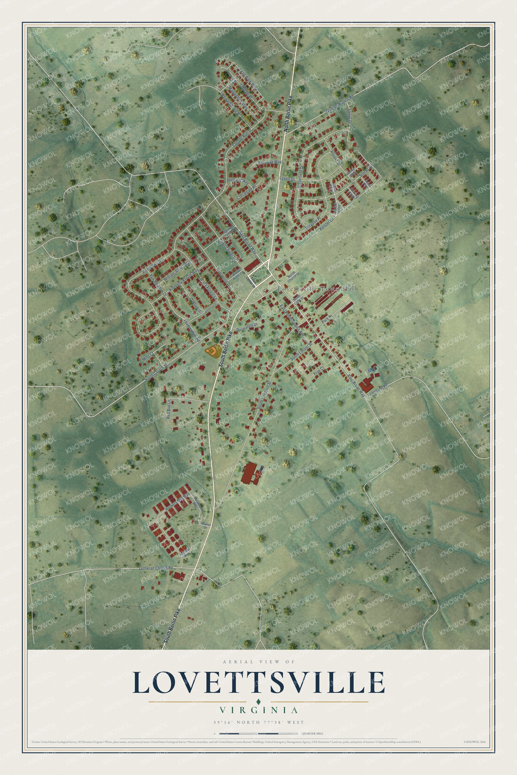
Street and place names on the Lovettsville, Virginia map
These names are printed on the map of Lovettsville, Virginia.
Places: Lovettsville Town Hall and Keister.
Streets and roads: North Berlin Pike, South Berlin Pike, East Broad Way, West Broad Way, South Church Street, Eisentown Drive, South Loudoun Street, Keister Lane, Lutheran Church Road, Potterfield Drive, Cooper Run Street, Tritapoe Place.
More street names, A to Z
Barbara Ellen Place, Bavarian Way, Black Forest Lane, Cordell Alley, Corriedale Place, East Pennsylvania Avenue, Fox Meadow Drive, Foxmeadow Road, Fox Mill Way, Frye Court, Germanna Drive, Guize Alley, Hammond Drive, Harpers Mill Way, Heater Alley, Henop Alley, Houser Drive, Joel Way, Kimberly Kristin Way, Lange Drive, Lead Walk Alley, Lovett Drive, Lovettsville Road, Manor Drive, Maple Glen Alley, Meadows Way, Mills Court, North Church Street, North Light Street, Oakfield Drive, Park Place, Quarter Branch Road, Red Bud Lane, Shetland Way, South Locust Street, Spring Farm Drive, Stocks Street, Tilgham Place, Town Center Drive, William Albert Way, Wood Aster Lane, Woodbriar Drive, Working Alley.
See the Lovettsville, Virginia map on a wall
The Lovettsville map as an 18 x 24 inch print in a black frame.

This beautifully detailed map of Lovettsville makes an attractive addition to your office, library, or den, and it can even be used to teach children the geography and history of the area. It also makes a great gift for anyone with Lovettsville roots. When you’re done exploring, click here to get your copy of the Lovettsville map.