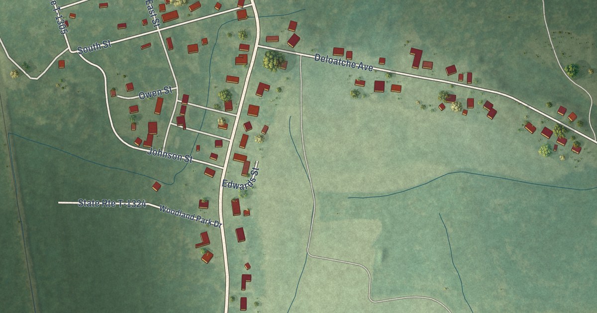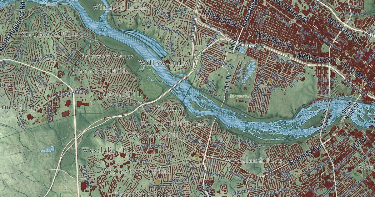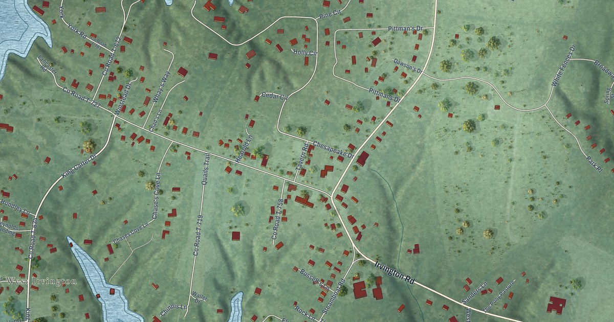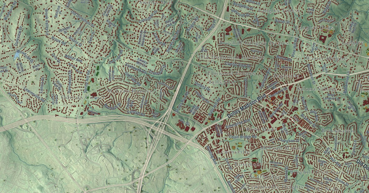
This beautifully detailed map of McLean, Virginia was created in 2026 using aerial imagery combined with modern topographical, census, street and landmark data. It’s a one-of-a-kind view of McLean that combines accurate data with a vintage aesthetic. The map shows every building in its true location, many of the roads carry their names, and the shaded topographic relief shows the shape of the land.
Explore an aerial view of McLean, Virginia
On the map you’ll find Haver Hills, Scott’s Run Nature Preserve, Turkey Run Park, Balls Hill, Belleview, Brilyn Park, Brookhaven, Broyhill-Glen Gary Park, Broyhill-Langley Estates, Bryn Mawr, Chesterbrook, Chesterbrook Estates, and more. If you look closely you can even find your house accurately drawn in its correct location. Zoom in on the preview to look for yours.
Did you know this piece of McLean, Virginia history?
From Vcris.dhr.virginia.gov: "Thomas Lee, of Stratford Hall, acquired Langley in a 1719 land grant and named it for a family estate in England."
Take a closer look at the McLean map
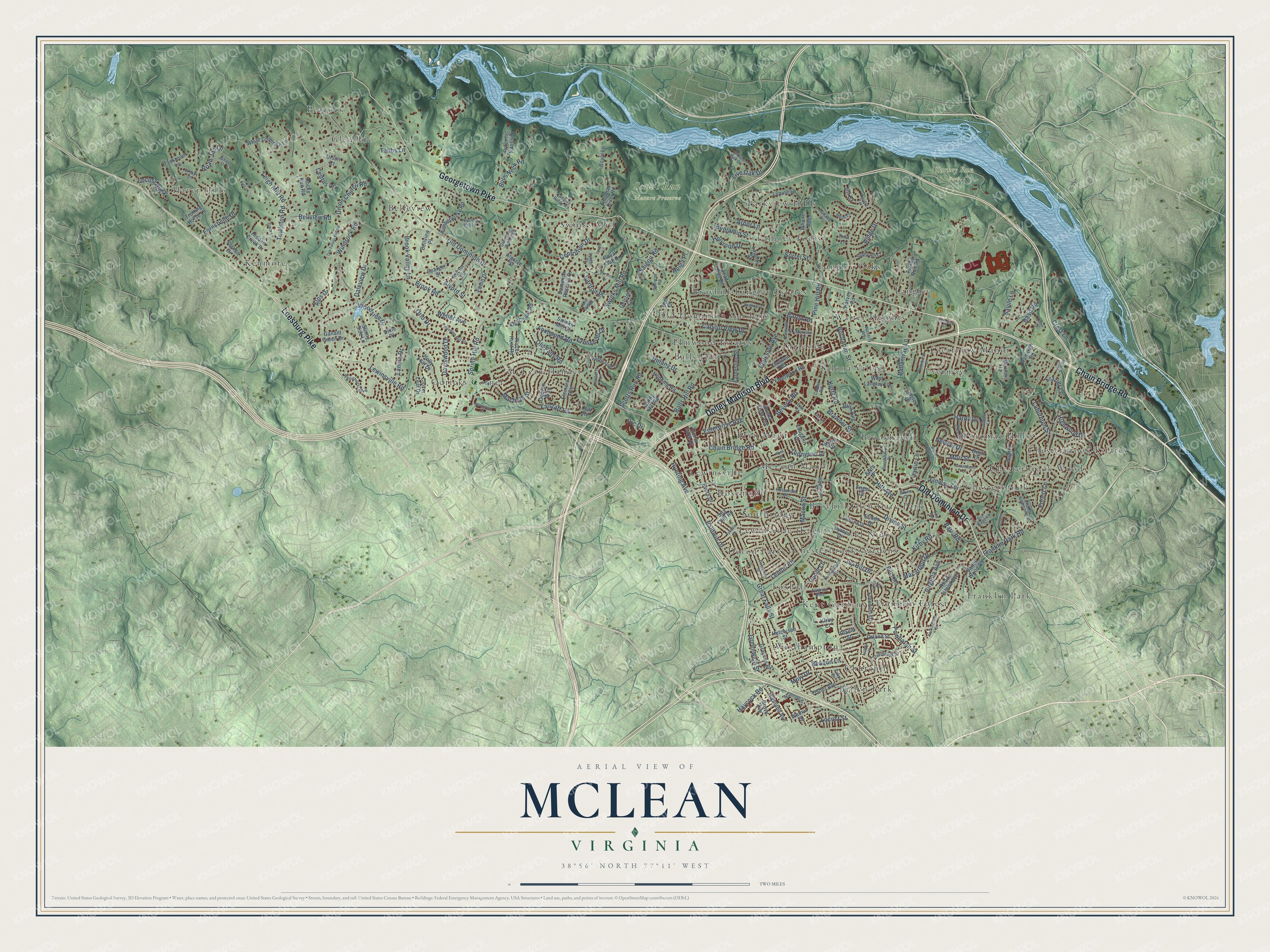
Street and place names on the McLean, Virginia map
These names are printed on the map of McLean, Virginia.
Places: Haver Hills, Scott's Run Nature Preserve, Turkey Run Park, Balls Hill, Belleview, Brilyn Park, Brookhaven, Broyhill-Glen Gary Park, Broyhill-Langley Estates, Bryn Mawr, Chesterbrook, Chesterbrook Estates, Chesterbrook Gardens, Chesterbrook Woods, Churchill, Clearview Manor, Devon Park, El Nido, Elmwood Estates, Evermay, Foxhall, Franklin Forest, Franklin Park, Glendale, Ingleside, Kenmore, Kent Gardens, Langley, Langley Forest, Langley Oaks, Lewinsville, Lewinsville Heights, McLean Hamlet, McLean Manor, Odricks Corner, Old Dominion Gardens, Parkview Hills, Peacock, Potomac Hills, Rosemont, Salona Village, Southridge, Swinks Mill, Walter Heights and Westhampton.
Streets and roads: Old Dominion Drive, Chain Bridge Road, Dolley Madison Boulevard, Georgetown Pike, Leesburg Pike, Kirby Road, Spring Hill Road, Lewinsville Road, Great Falls Street, Towlston Road, Balls Hill Road, Bellview Road.
More street names, A to Z
Aldebaran Drive, Algarve Street, Alps Drive, Alvord Street, Arbor Lane, Avignon Boulevard, Baldwin Drive, Ballantrae Lane, Baron Road, Basil Road, Beacon Lane, Beall Drive, Bellview Place, Benjamin Street, Beverly Road, Birch Road, Boyle Lane, Brawner Street, Brian Jac Lane, Briar Ridge Road, Bright Avenue, Brookhaven Drive, Brook Road, Brook Valley Lane, Bryan Branch Road, Buchanan Street, Buena Vista Avenue, Bulls Neck Road, Burford Drive, Byrnes Drive, Byrns Place, Calder Road, Capitol View Drive, Carlin Lane, Carlton Place, Cedrus Lane, Centrillion Drive, Chelsea Road, Clover Leaf Drive, Cola Drive, Colleen Lane, Corner Lane, Cottonwood Street, Crest Lane, Crossover Drive, Daleview Drive, Dalmation Drive, Dara Lane, Daviswood Drive, Dead Run Drive, Deidre Terrace, Delf Drive, Divine Street, Dixie Place, Dominion Reserve Drive, Dulany Drive, Dunaway Court, Earnestine Street, East Avenue, Eaton Drive, Elm Street, Elnido Drive, Elsinore Avenue, Engel Drive, Enterprise Avenue, Evans Farm Drive, Evers Drive, Fairlawn Drive, Falstaff Road, Fisher Avenue, Fleetwood Road, Forest Lane, Forestville Drive, Foxhound Road, Franklin Park Road, Frazier Lane, Freedom Lane, Frome Lane, Gallant Green Drive, Gelston Circle, Grayson Place, Green Oak Drive, Greenwich Street, Greenwich Woods Drive, Grove Avenue, Hardy Drive, Harvey Road, Haycock Road, Heidi Court, Helga Place, Hidden Creek Drive, Highland Avenue, Highwood Drive, Hilltop Place, Hitt Avenue, Holland Street, Holly Leaf Drive, Holyrood Drive, Hooking Road, Hunting Avenue, Hunting Hill Lane, Huntmaster Lane, Hutchison Street, Ingleside Avenue, Ivy Hill Drive, Ivy Tree Lane, Jill Court, Juhasz Drive, Julia Avenue, Kimberwicke Road, Kirby Court, Kurtz Road, Laburnum Street, Lancia Drive, Langley Place, Langley Ridge Road, Laughlin Avenue, Lawton Street, Lear Road, Leigh Mill Road, Lemon Road, Linway Terrace, Litton Lane, Live Oak Drive, Locust Hill Drive, Locust Street, Lupine Lane, Lynton Place, Macarthur Drive, Macbeth Street, Macon Street, Maddux Lane, Melrose Drive, Merchant Lane, Mill Ridge, Moly Drive, Mori Street, Nelway Drive, North Albemarle Street, Northwyck Court, Oberon Way, Old Cedar Road, Old Falls Road, Old Tolson Mill Road, Olson Court, Orland Street, Orlo Drive, Overbrook Street, Park Road, Pine Hill Road, Pine Tree Road, Placid Street, Poole Lane, Potomac Knolls Drive, Potomac River Road, Powhatan Street, Prc Drive, Randolph Road, Ranleigh Road, Rector Lane, Relda Court, Rhode Island Avenue, Ridge Drive, Rockingham Street, Rocky Run Road, Rosemont Drive, Royal Oak Drive, Saigon Road, Savile Lane, Scotts Run Road, Sea Cliff Road, Sixth Place, Solitaire Lane, Sorrel Street, Sparger Street, Spencer Road, Strine Drive, Sunny Hill Court, Sunny Side Lane, Swinks Mill Court, Swinks Mill Road, Tackroom Lane, Tebbs Lane, Tennyson Drive, Timberly Lane, Tina Lane, Trotting Horse Lane, Tulip Drive, Turkey Run Road, Tyndale Street, Union Church Road, Valley Wood Road, Vernon Drive, Virginia Avenue, Walnut Street, Waverly Way, Weller Avenue, West Langley Lane, Whann Avenue, White Chimney Lane, Windrock Road, Windy Hill Road, Winter Hunt Road, Wise Street, Woodhurst Boulevard, Woodland Drive, Woodlea Mill Road, Woodside Drive, Woody Lane, Wrightson Drive, Youngblood Street.
See the McLean, Virginia map on a wall
The McLean map as an 18 x 24 inch print in a black frame.

This beautifully detailed map of McLean makes an attractive addition to your office, library, or den, and it can even be used to teach children the geography and history of the area. It also makes a great gift for anyone with McLean roots. When you’re done exploring, click here to get your copy of the McLean map.