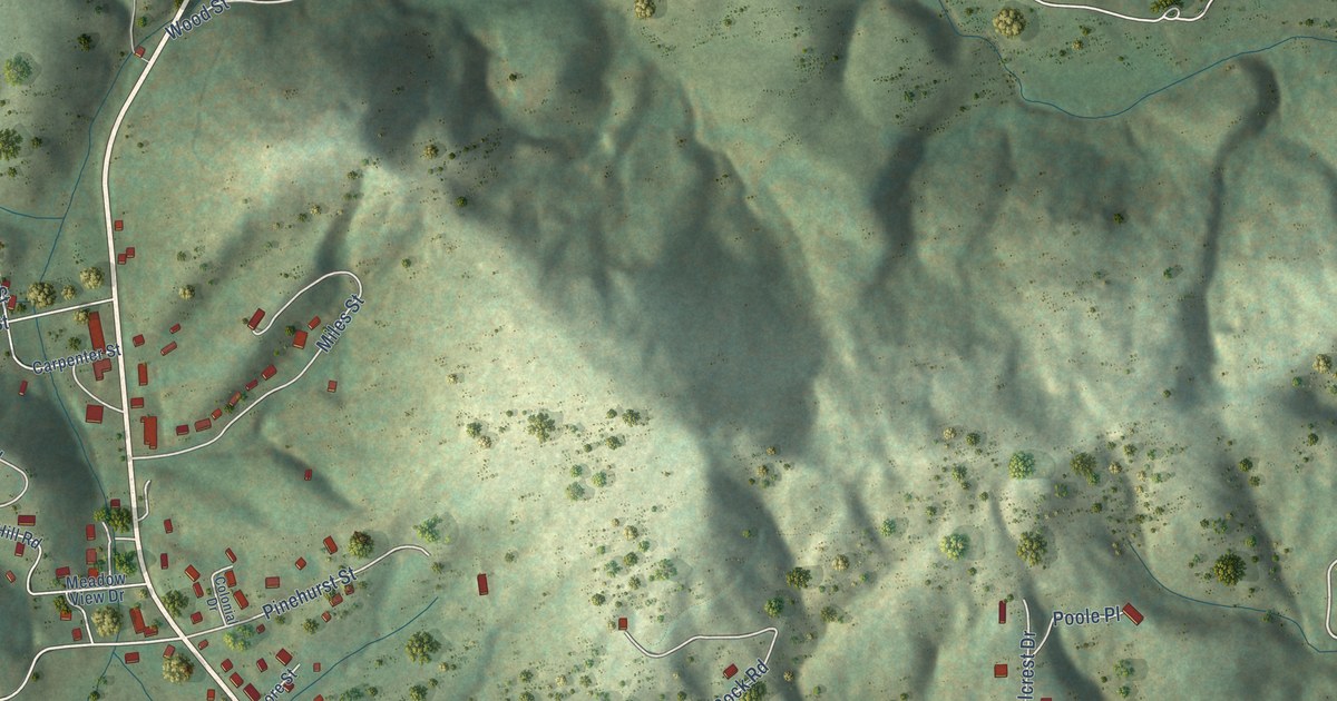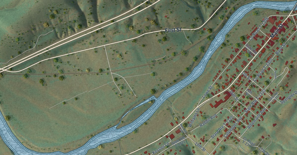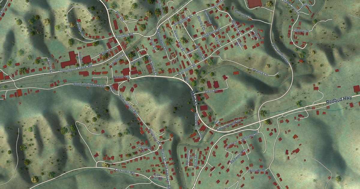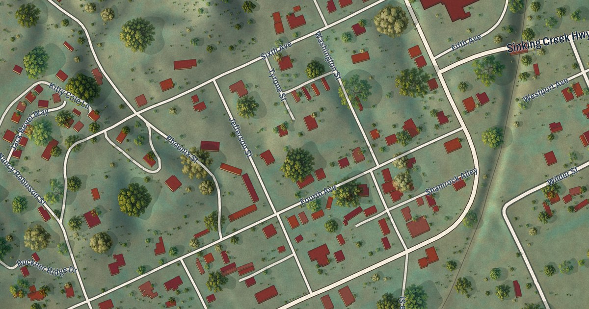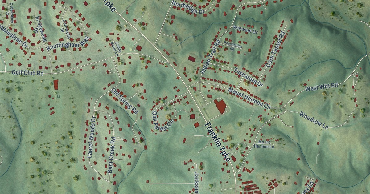
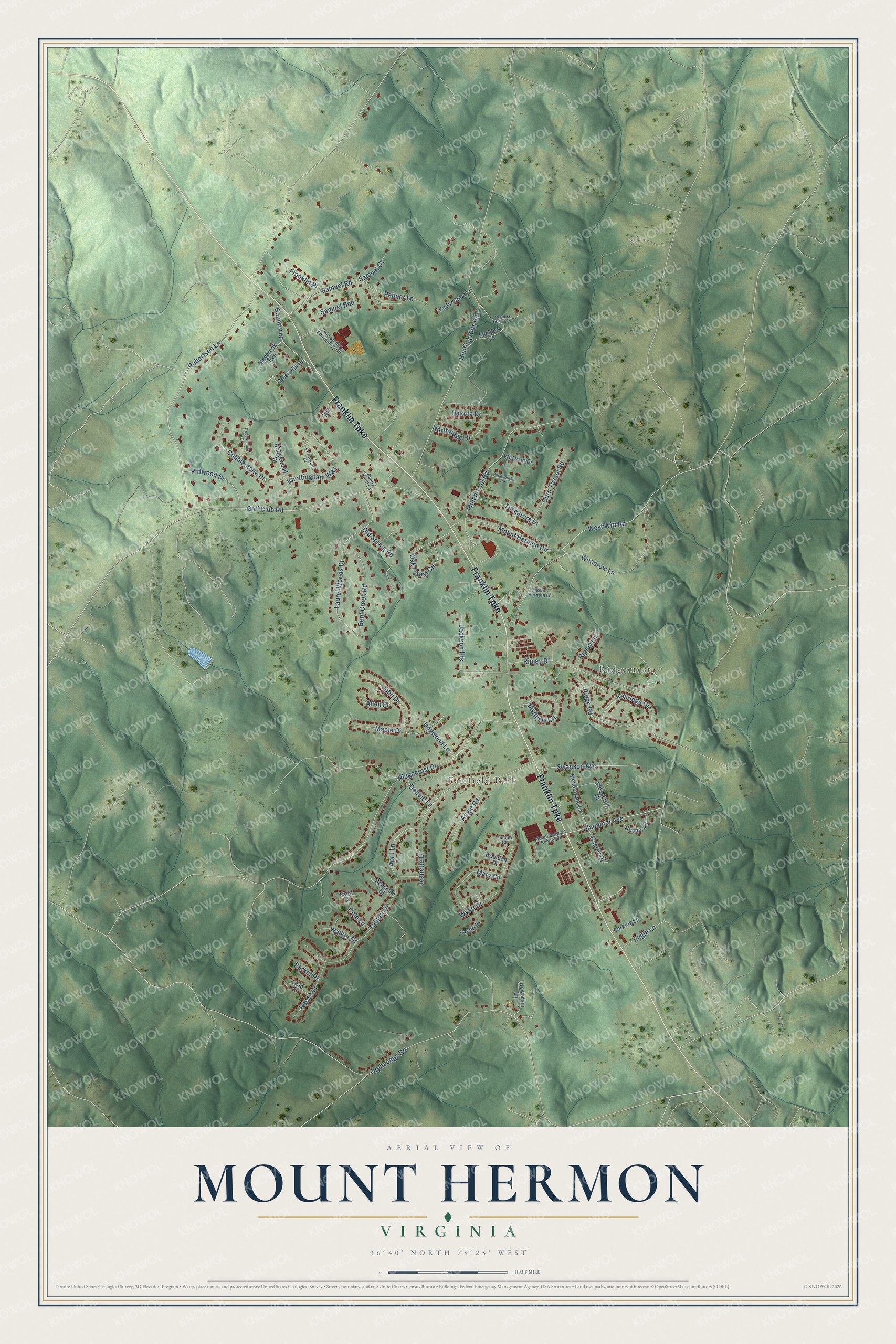
This beautifully detailed map of Mount Hermon, Virginia was created in 2026 using aerial imagery combined with modern topographical, census, street and landmark data. It's a modern aerial view of Mount Hermon in Pittsylvania County, Virginia, that combines modern data with a vintage aesthetic. The roads feature printed names, and if you look closely you can find your exact house accurately shown in its correct location.
Explore an aerial view of Mount Hermon, Virginia
On this map you'll find Fairfield Park, Ridgecrest, Franklin Turnpike, Slaughter Avenue, Robertson Lane, Hunting Hills Road, Orphanage Road, Ridgecrest Drive, Golf Club Road, Mount Hermon Circle, Jeanette Drive, Ripley Drive, and more. Each red shape is a building, so zoom in on the preview and look for yours.
Mount Hermon is a community in Pittsylvania County. The Census Bureau counted 4,057 people here in 2020. Mount Hermon sits about 3 miles southwest of Blairs, 6 miles north of Danville and 10 miles south of Chatham. The map prints the town name in its title panel, with the coordinates below it.
Take a closer look at the Mount Hermon map
Names on this map
These names are printed on this map.
Places: Fairfield Park and Ridgecrest.
Streets and roads: Franklin Turnpike, Slaughter Avenue, Robertson Lane, Hunting Hills Road, Orphanage Road, Ridgecrest Drive, Golf Club Road, Mount Hermon Circle, Jeanette Drive, Ripley Drive, Laurel Woods Drive, Wyatt Drive.
More street names, A to Z
Allen Place, Angie Road, April Lane, Austin Circle, Benjamin Court, Bent Creek Road, Berkley Street, Brandon Court, Bridgewood Drive, Cedar Crest Lane, Cobblestone Court, Cobblestone Drive, Cole Lane, Corn Tassel Road, Cornwallis Drive, Country Lane, Dakota Drive, Debbie Lane, Dogwood Lane, Eagle Lane, Easter Drive, Faith Court, Franklin Place, Green Hill Drive, Howerton Lane, Indian Trail Road, Jackson Heights, Jacob Place, John Drive, Kenridge Circle, Knottingham Way, Leah Court, Maple Drive, Mary Circle, Matthew Circle, Maybrook Avenue, Meadowood Lane, Merricks Branch Circle, Mount Hermon Lane, Mount Hermon School Road, Northridge Drive, Oak Forest Circle, Old Spring Road, Parker Place, Pepper Lane, Pittwood Drive, Pocahontas Road, Reese Drive, Ridge Road, Ripley Lane, Samuel Bnd, Samuel Court, Samuel Road, Sheldon Court, Sunny Knoll Lane, Swanson Avenue, Talbott Drive, Thomas Court, Tuscarora Drive, Twin Springs Elementary Circle, Tyler Drive, Walker Drive, West Witt Road, Wigwam Drive, Woodcroft Drive, Woodrow Lane.
See it on a wall
The Mount Hermon map as a framed print. Swipe for more.


Created by KNOWOL in 2026. The buildings are small red shapes, the roads carry their printed names, and shaded relief shows the shape of the land. The title panel reads "AERIAL VIEW OF MOUNT HERMON, VIRGINIA" with 36°40' NORTH 79°25' WEST.
It looks right in a kitchen, an office or a den, and it's a gift for anyone who grew up in Mount Hermon or moved away. Open the preview and find your street. See sizes and frames for the Mount Hermon map.