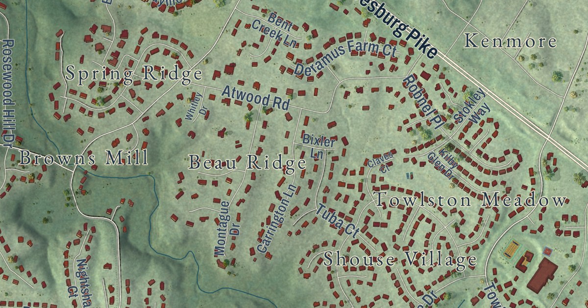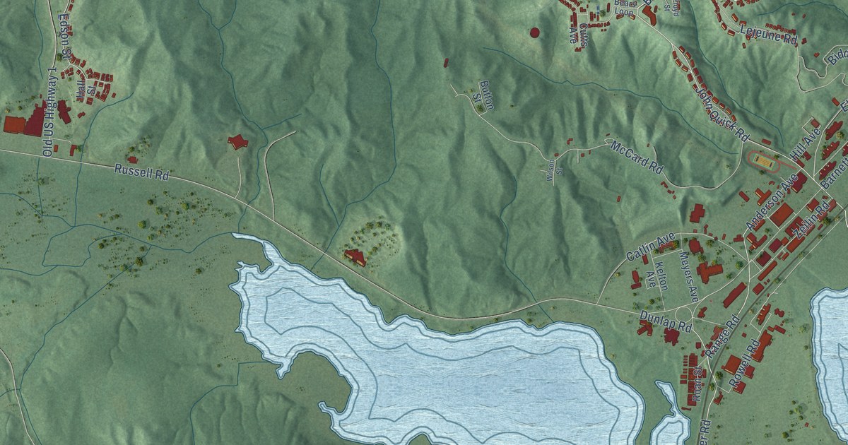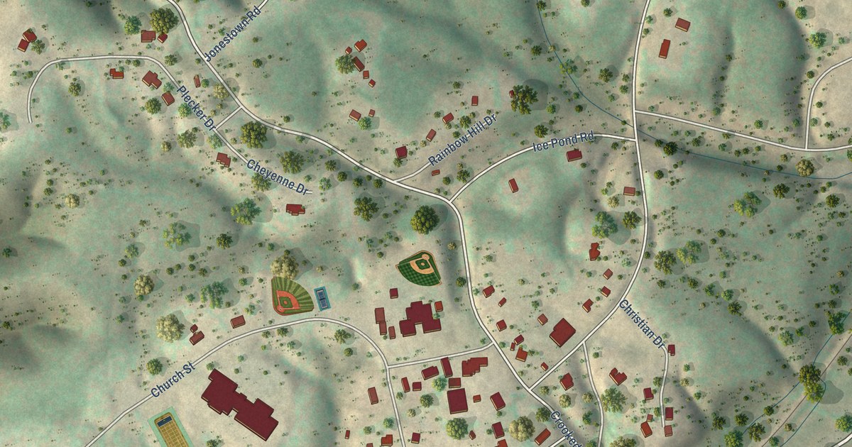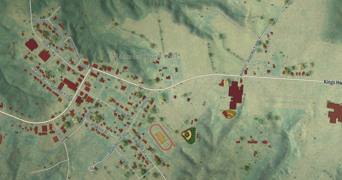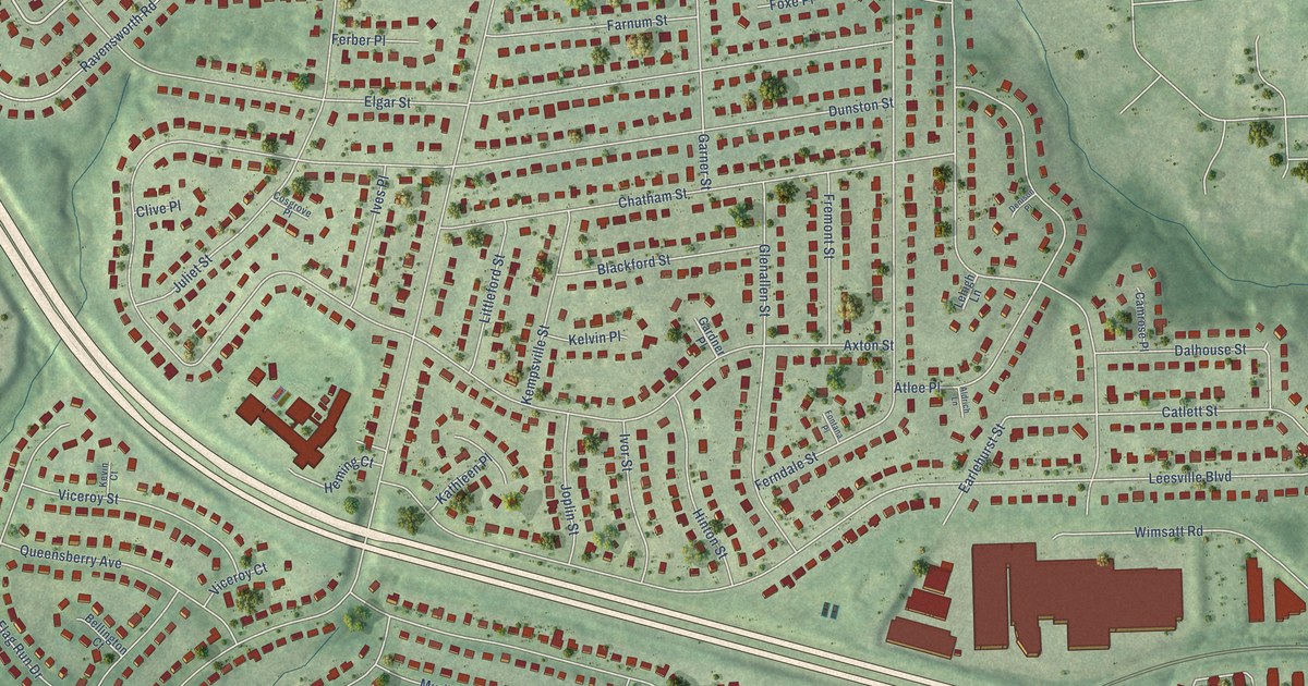
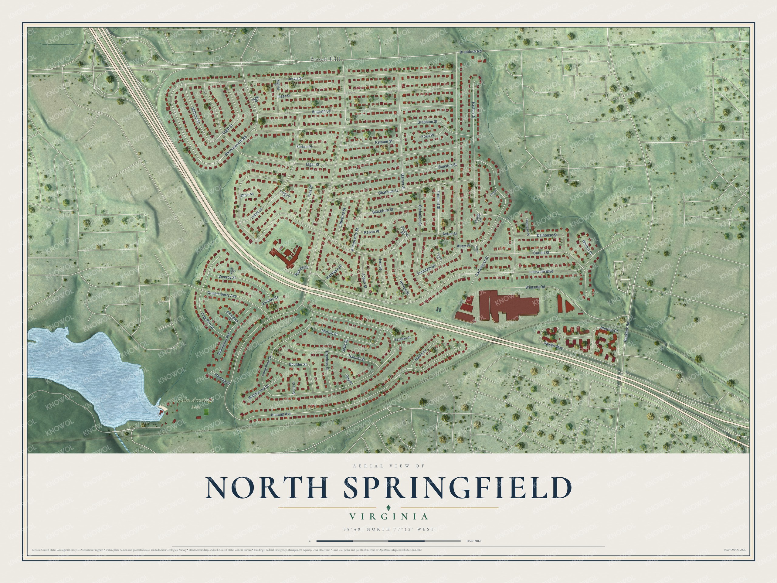
This beautifully detailed map of North Springfield, Virginia was created in 2026 using aerial imagery combined with modern topographical, census, street and landmark data. It’s a one-of-a-kind view of North Springfield that combines accurate data with a vintage aesthetic. The map shows every building in its true location, many of the roads carry their names, and the shaded topographic relief shows the shape of the land.
Explore an aerial view of North Springfield, Virginia
On the map you’ll find Lake Accotink Park and Brook Hill, along with Milland Street, Heming Avenue, Braddock Road, Long Pine Drive, Leesville Boulevard, Elgar Street, Jervis Street, Dunston Street, Axton Street, Ferndale Street, and more. If you look closely you can even find your house accurately drawn in its correct location. Zoom in on the preview to look for yours.
Did you know this piece of North Springfield, Virginia history?
From the Connection Newspapers: "Harry Ormston was the architect, designing all-brick ramblers and split-levels over North Springfield’s 600 acres."
Take a closer look at the North Springfield map
Street and place names on the North Springfield, Virginia map
These names are printed on the map of North Springfield, Virginia.
Places: Lake Accotink Park and Brook Hill.
Streets and roads: Milland Street, Heming Avenue, Braddock Road, Long Pine Drive, Leesville Boulevard, Elgar Street, Jervis Street, Dunston Street, Axton Street, Ferndale Street, Ravensworth Road, Easton Drive.
More street names, A to Z
Aldrich Lane, Anola Court, Atlee Place, Backlick Road, Belfast Place, Bellington Avenue, Bellington Court, Blackford Street, Boulder Street, Camrose Place, Catlett Street, Chatham Street, Clive Place, Cosgrove Place, Dalhouse Street, Denison Place, Dreyfuss Street, Earlehurst Street, Estaban Place, Farnum Street, Ferber Place, Flag Run Drive, Fontana Place, Foxe Place, Fremont Street, Gardner Place, Garner Street, Glenallen Street, Gresham Street, Guy Place, Hamlet Street, Heming Court, Heming Place, Hinton Street, Hogarth Street, Husky Lane, Ingle Place, Inzer Street, Ives Place, Ivor Street, Jebb Street, Joplin Street, Juliet Street, Kathleen Place, Kelvin Place, Kempsville Street, Kevin Court, Kipling Street, Lehigh Lane, Light Street, Littleford Street, Murillo Street, Queensberry Avenue, Rhoden Court, Skyles Way, Viceroy Court, Viceroy Street, Webbwood Court, Wimsatt Road.
See the North Springfield, Virginia map on a wall
The North Springfield map as an 18 x 24 inch print in a black frame.

This beautifully detailed map of North Springfield makes an attractive addition to your office, library, or den, and it can even be used to teach children the geography and history of the area. It also makes a great gift for anyone with North Springfield roots. When you’re done exploring, click here to get your copy of the North Springfield map.