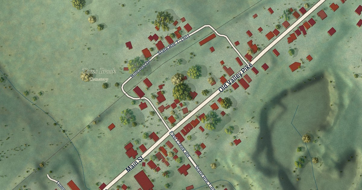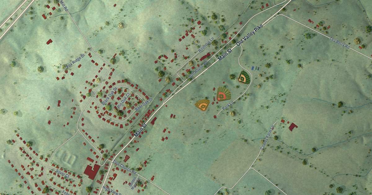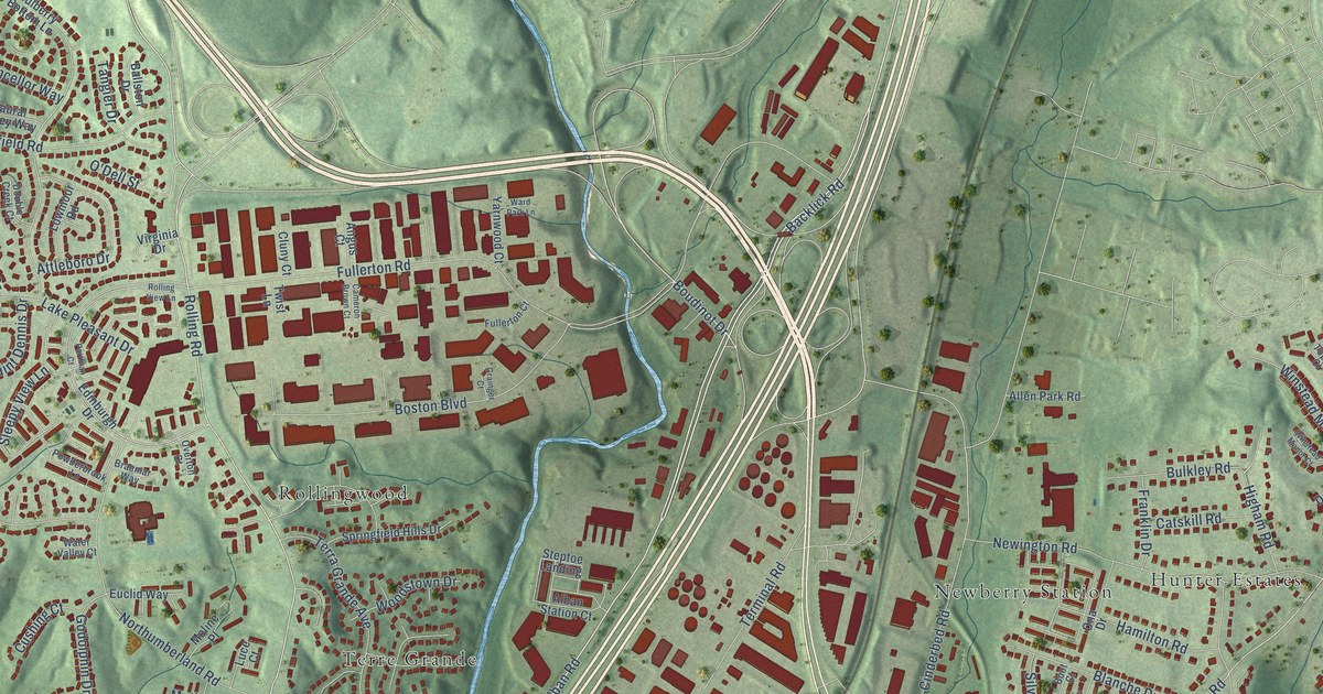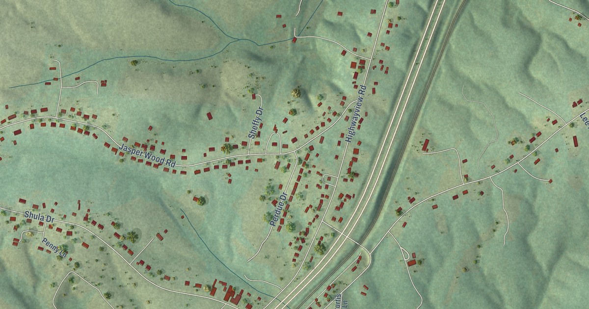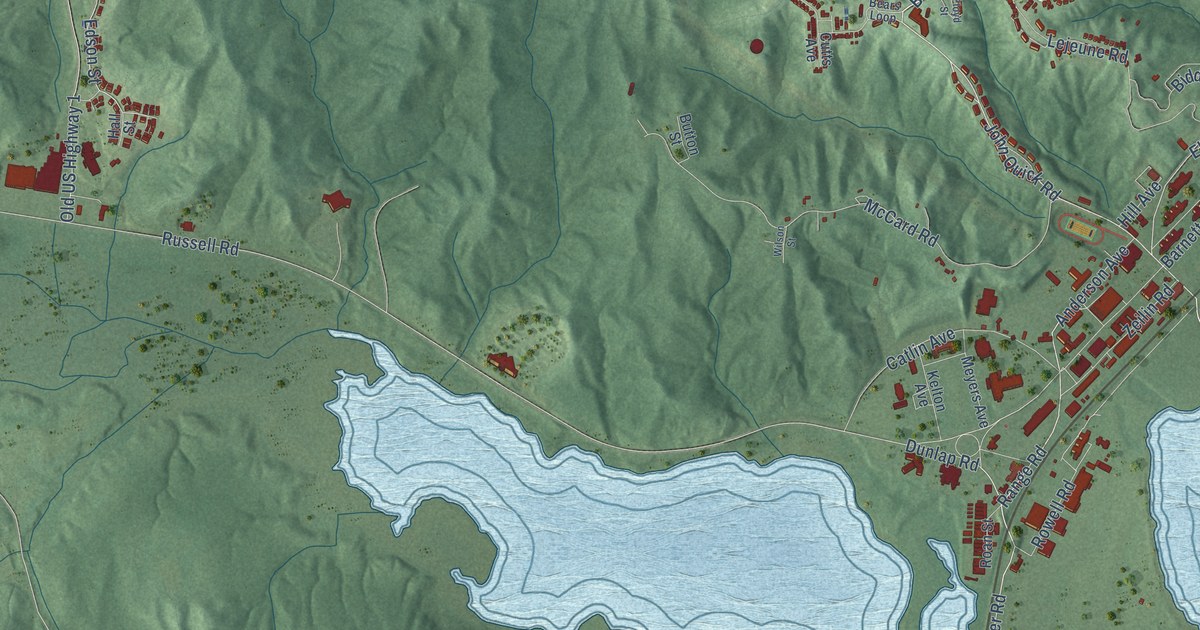
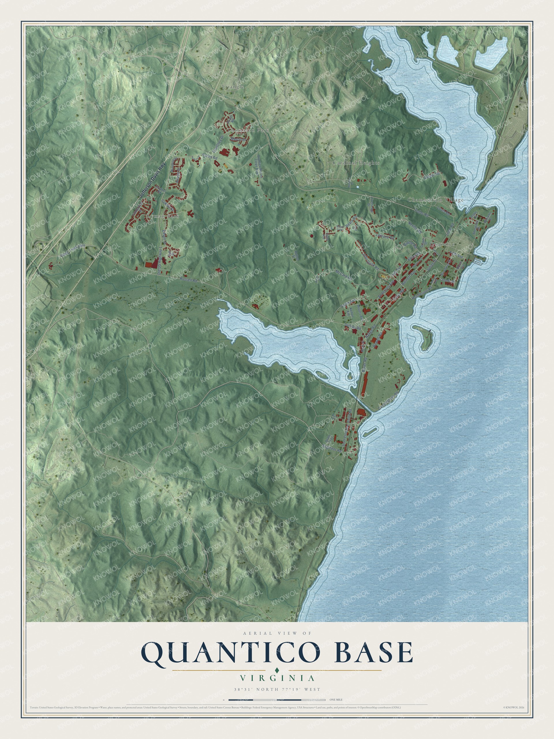
This beautifully detailed map of Quantico Base, Virginia was created in 2026 using aerial imagery combined with modern topographical, census, street and landmark data. It's a modern aerial view of Quantico Base in Prince William County, Virginia, that combines modern data with a vintage aesthetic. The roads feature printed names, and if you look closely you can find your exact house accurately shown in its correct location.
Explore an aerial view of Quantico Base, Virginia
On this map you'll find Thomason Park, Lyman Park, Quantico, Cardinal Heights, Chamberlain Village, Triangle, Jefferson Davis Highway, Lejeune Road, John Quick Road, Bears Road, Range Road, Henderson Road, and more. Each red shape is a building, so zoom in on the preview and look for yours.
Every town has a first chapter, and Quantico Base is no exception. Marine Corps Base Quantico began in the spring of 1917. Soon after the United States declared war on Germany, the Marine Corps agreed on April 23 to lease 5,300 acres beside the town of Quantico, and by May 17 a Marine artillery company from Annapolis had arrived by boat to set up the training camp. Its first job was training Marines and officers to serve with the American Expeditionary Forces in Europe. That's from the Virginia Department of Historic Resources.
Quantico Base is a community in Prince William County. The Census Bureau counted 5,221 people here in 2020.
Take a closer look at the Quantico Base map
Names on this map
These names are printed on this map.
Places: Thomason Park, Lyman Park, Quantico, Cardinal Heights, Chamberlain Village and Triangle.
Streets and roads: Jefferson Davis Highway, Lejeune Road, John Quick Road, Bears Road, Range Road, Henderson Road, Neville Road, South Street, Bauer Road, Elliot Road, Russell Road, Dunlap Road.
More street names, A to Z
Adams Street, Anderson Avenue, Barnett Avenue, Battery Avenue, Bears Loop, Biddle Road, Broadway Street, Button Street, Catlin Avenue, Courtney Drive, Cukela Street, Cunningham Road, Cutts Avenue, Dam Road, Demo Trail, Draper Street, Edson Street, Elrod Road, Engineer Road, Fifth Avenue, Floyd Street, Fuller Road, Geiger Road, Hall Street, Hawkins Avenue, Hill Avenue, Julian Drive, Kelton Avenue, Lester Street, Little Road, Liversedge Drive, Louis Road, Mason Drive, McCard Road, Meyers Avenue, Morell Avenue, Old US Highway 1, Perkins Street, Power Road, Poytner Road, Purvis Road, Quantico Marine Corps Base, Roan Street, Rowell Road, Sherwood Street, South Elrod Avenue, Timmerman Street, Usmc Truck Highway, Wharton Drive, Williams Street, Wilson Street, Windrich Street, Windsor Road, Zeilin Road.
See it on a wall
The Quantico Base map as a framed print. Swipe for more.


Created by KNOWOL in 2026. The buildings are small red shapes, the roads carry their printed names, and shaded relief shows the shape of the land. The title panel reads "AERIAL VIEW OF QUANTICO BASE, VIRGINIA" with 38°31' NORTH 77°19' WEST.
Hang it in the hallway, the office or the cabin, or give it to someone who left Quantico Base and still calls it home. Open the preview and look for a street you know. See sizes and frames for the Quantico Base map.