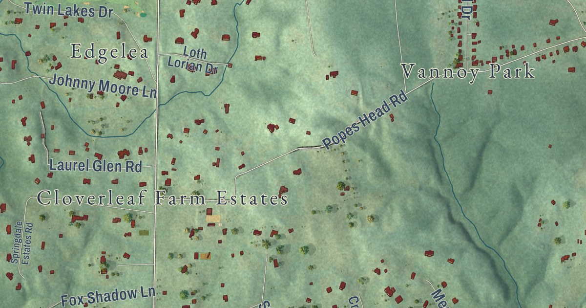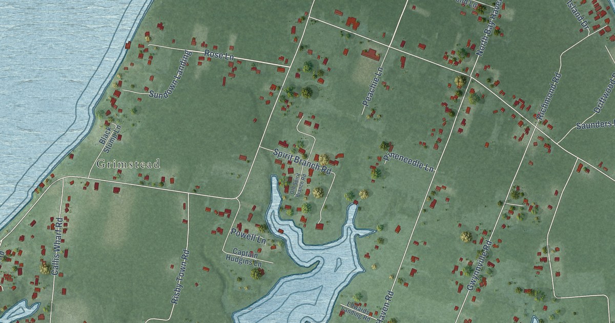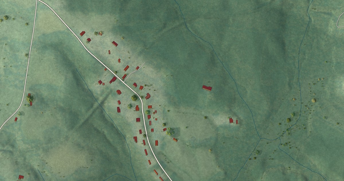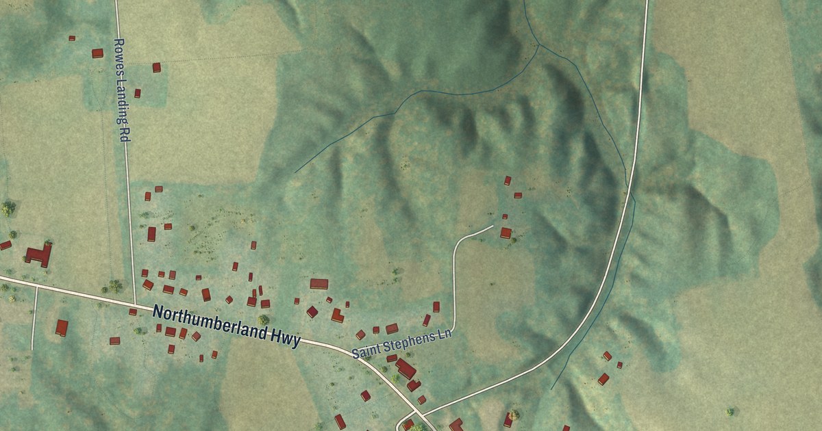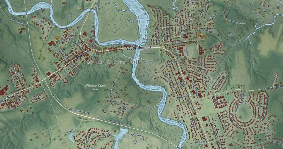
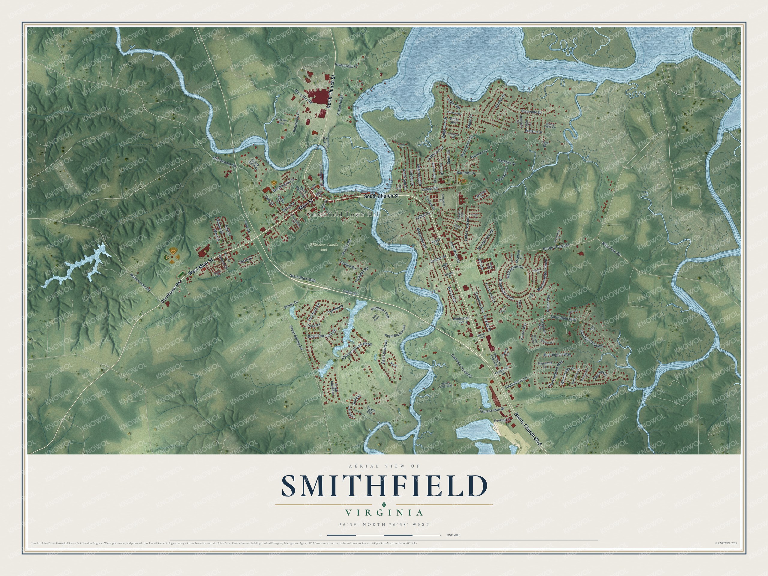
This beautifully detailed map of Smithfield, Virginia was created in 2026 using aerial imagery combined with modern topographical, census, street and landmark data. It’s a one-of-a-kind view of Smithfield that combines accurate data with a vintage aesthetic. The map shows every building in its true location, many of the roads carry their names, and the shaded topographic relief shows the shape of the land.
Explore an aerial view of Smithfield, Virginia
On the map you’ll find Smithfield Town Hall, Windsor Castle Park, and Cypress Crossing, along with South Church Street, West Main Street, Main Street, North Church Street, Benns Church Boulevard, Battery Park Road, John Rolfe Drive, Cypress Creek Parkway, Cedar Street, and more. If you look closely you can even find your house accurately drawn in its correct location. Zoom in on the preview to look for yours.
Did you know this piece of Smithfield, Virginia history?
From the Virginia A Guide to the Old Dominion: "First known commercially as a point from which tobacco was shipped to foreign ports, Smithfield is now famed principally for its hams, though it also cleans and ships peanuts."
Take a closer look at the Smithfield map
Street and place names on the Smithfield, Virginia map
These names are printed on the map of Smithfield, Virginia.
Places: Smithfield Town Hall and Windsor Castle Park.
Streets and roads: South Church Street, West Main Street, Main Street, North Church Street, Benns Church Boulevard, Battery Park Road, John Rolfe Drive, Cypress Crossing, Cypress Creek Parkway, Cedar Street, Great Spring Road, Smithfield Boulevard.
More street names, A to Z
Ayrshire Loop, Azalea Drive, Bailey Avenue, Barclay Crescent, Barcroft Drive, Berkley Street, Berry Hill Road, Bristol Street, Buckingham Way, Bunkley Lane, Burton Drive, Calvary Way, Canteberry Lane, Carver Avenue, Cary Street, Cathedral Street, Cattail Lane, Clontz Park Road, Colonial Avenue, Commerce Street, Courthouse Highway, Cranford Road, Cypress Run Drive, Dashiell Drive, Deerfield Drive, Dover Court, Drummonds Lane, Durham Street, East Street, Edgewood Drive, Evans Drive, Evergreen Way, Fawn Court, Faye Drive, Forest View Lane, Ginger Loop, Gleaeagles, Goose Hill Way, Grace Street, Grandville Arch, Greenbrier Lane, Grimes Street, Gullane, Gumwood Drive, Harrison Drive, Hearn Drive, Heptinstall Avenue, Hickory Crescent, Hill Street, Holt Street, Hunter Way, Huntington Way, Irvin Drive, James Street, Jefferson Drive, Jericho Road, Jordan Avenue, Jordan Drive, Joshua Road, Kendall Haven, Kerr Place, Keswick Place, King Court, Lakeview Cv, Lane Crescent, Ledford Lane, Lenora Cv, Lumar Road, Luter Drive, Magruder Road, Manchester Court, Maple Court, Middle Street, Mill Swamp Road, Minton Way, Moon Drive, Moone Creek Circle, Moonefield Drive, Moore Avenue, Muirfield Road, Nairn, Nike Park Road, North Mason Street, North Street, Nottingham Place, Pagan Ridge, Pagan Road, Pinewood Drive, Pleasant Lane, Pole Road, Quail Street, Queen Court, Red Point Drive, Ridgeland Drive, River Oaks Lane, Riverside Drive, Royal Aberdeen, Royal Blackheath, Royal Dornoch Road, Saint Andrews, Saint Annes, Shady Drive, Sherwood Lane, Smith Drive, State Route F-659, Stratford Lane, Talbot Drive, Tigers Eye, Troon Road, Trumpet Road, Turnberry, Villa Drive, Vincent's Crossing, Virginia Avenue, Wainwright Drive, Wariner Lane, Washington Street, Waterworks Road, Watson Drive, Wellington Circle, Westminister Ranch, West Street, Whites Point Way, Wildwood Circle, William Street, Wilson Road, Winchester Place, Wrenn Road.
See the Smithfield, Virginia map on a wall
The Smithfield map as an 18 x 24 inch print in a black frame.

This beautifully detailed map of Smithfield makes an attractive addition to your office, library, or den, and it can even be used to teach children the geography and history of the area. It also makes a great gift for anyone who grew up in Smithfield or moved away. When you’re done exploring, click here to get your copy of the Smithfield map.