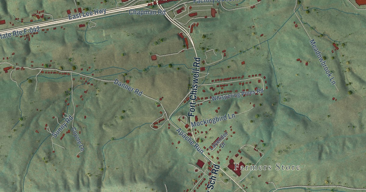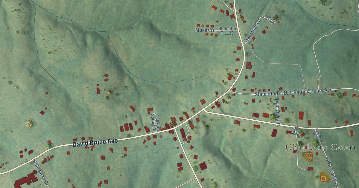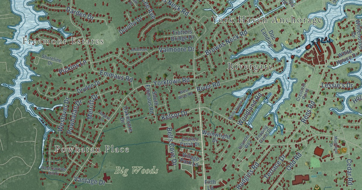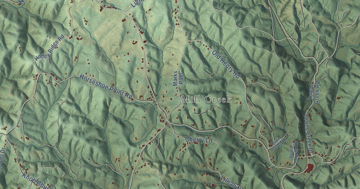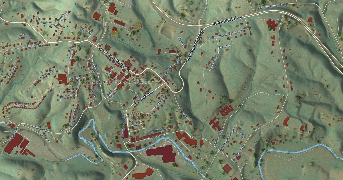
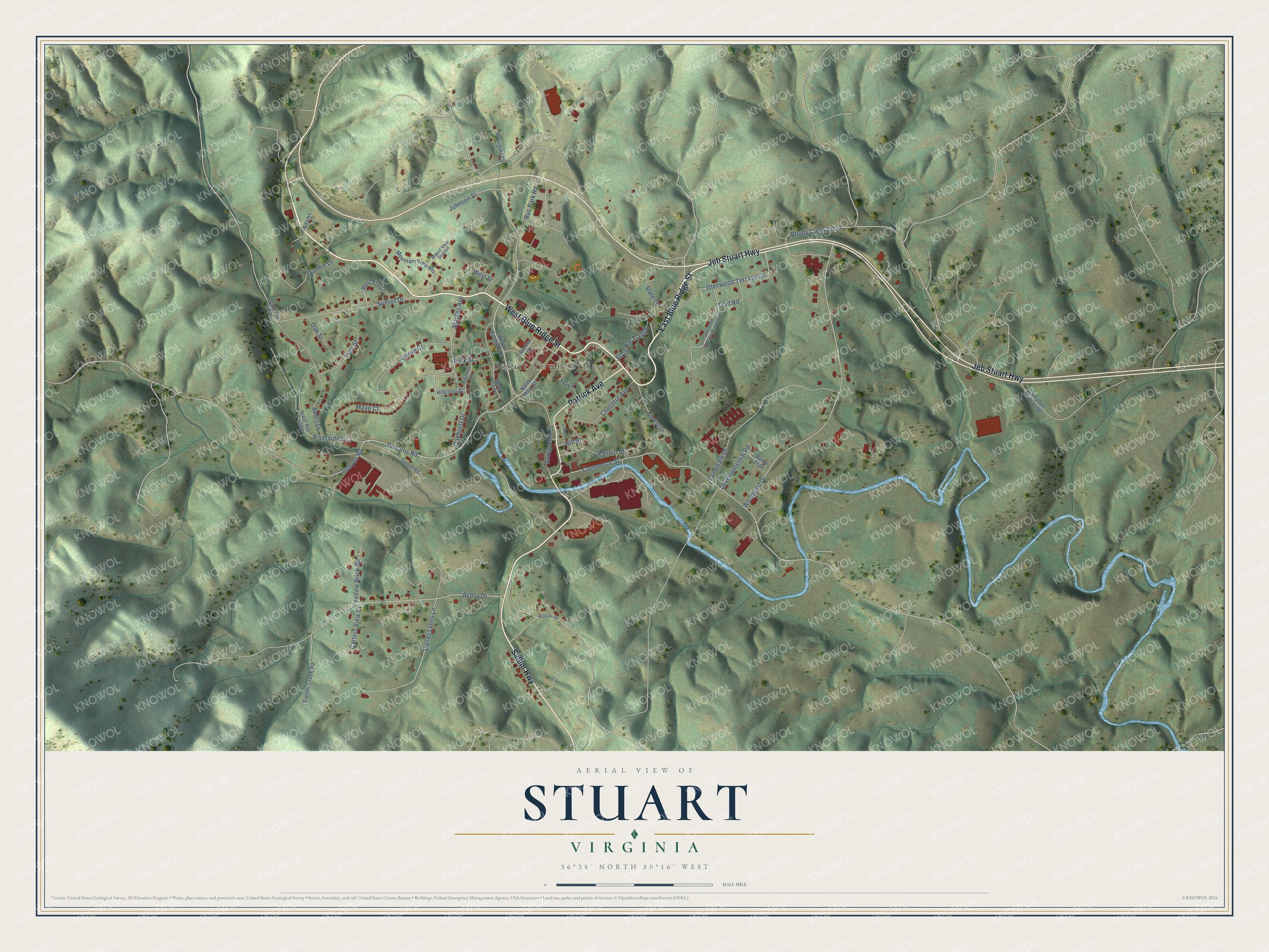
This beautifully detailed map of Stuart, Virginia was created in 2026 using aerial imagery combined with modern topographical, census, street and landmark data. It’s a one-of-a-kind view of Stuart that combines accurate data with a vintage aesthetic. The map shows every building in its true location, many of the roads carry their names, and the shaded topographic relief shows the shape of the land.
Explore an aerial view of Stuart, Virginia
On the map you’ll find Stuart Town Office, along with West Blue Ridge Street, East Blue Ridge Street, Salem Highway, Jeb Stuart Highway, Patrick Avenue, Dobbins Road, Johnson Street, Woodland Drive, Commerce Street, Ashby Drive, Bus Park Road, and more. If you look closely you can even find your house accurately drawn in its correct location. Zoom in on the preview to look for yours.
Did you know this piece of Stuart, Virginia history?
Stuart was first called Taylorsville, for early settler George Taylor. The first train arrived in August 1884. That year, the town was incorporated and renamed for Confederate General J. E. B. Stuart, who was born in nearby Ararat.
Take a closer look at the Stuart map
Street and place names on the Stuart, Virginia map
These names are printed on the map of Stuart, Virginia.
Places: Stuart Town Office.
Streets and roads: West Blue Ridge Street, East Blue Ridge Street, Salem Highway, Jeb Stuart Highway, Patrick Avenue, Dobbins Road, Johnson Street, Woodland Drive, Commerce Street, Ashby Drive, Bus Park Road, Landmark Drive.
More street names, A to Z
Adams Lane, Akers Drive, Buena Vista Avenue, Campbell Farm Loop, Carters View Court, Chestnut Avenue, Dallas Lyons Lane, Depot Road, Developmental Road, Dobyns Road, Forest Lane, Frankie Lane, Glenwood Terrace Extended, Glenwood Terrace Lp, Hillcrest Street, Hill Street, Houchins Cv, Jay Lane, Laurel Court, Loblolly Lane, Mayo Court, Mountain View Heights, Mount View Summit, North Main Street, Oakhurst Drive, Oakhurst Road, Oak Street, Pannill Drive, Park Street, Pine Street, Rhody Creek Loop, Riverside Drive, Rome Trail, Rucker Street, Slate Lane, South Main Street, Staples Avenue, State Route T-642, State Route T-1008, State Route T-1020, Sunset Drive, Timber Creek Road, Trail Road, Wayside Road, West End Lane, West Street, Wood Brothers Drive, Yellow Brick Road.
See the Stuart, Virginia map on a wall
The Stuart map as an 18 x 24 inch print in a black frame.

This beautifully detailed map of Stuart makes an attractive addition to your office, library, or den, and it can even be used to teach children the geography and history of the area. It also makes a great gift for someone who left Stuart and still calls it home. When you’re done exploring, click here to get your copy of the Stuart map.