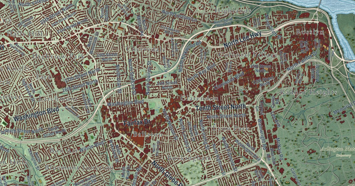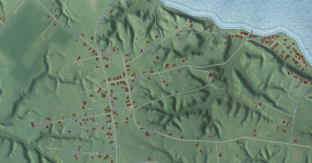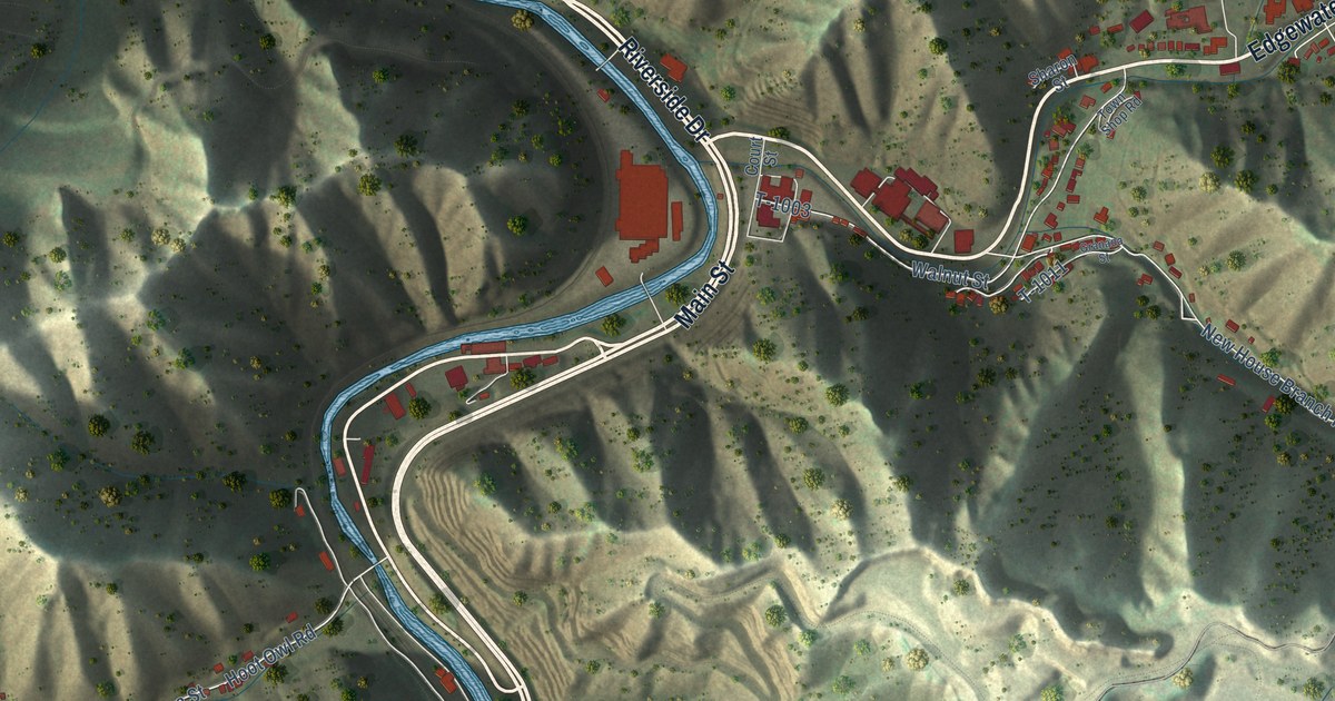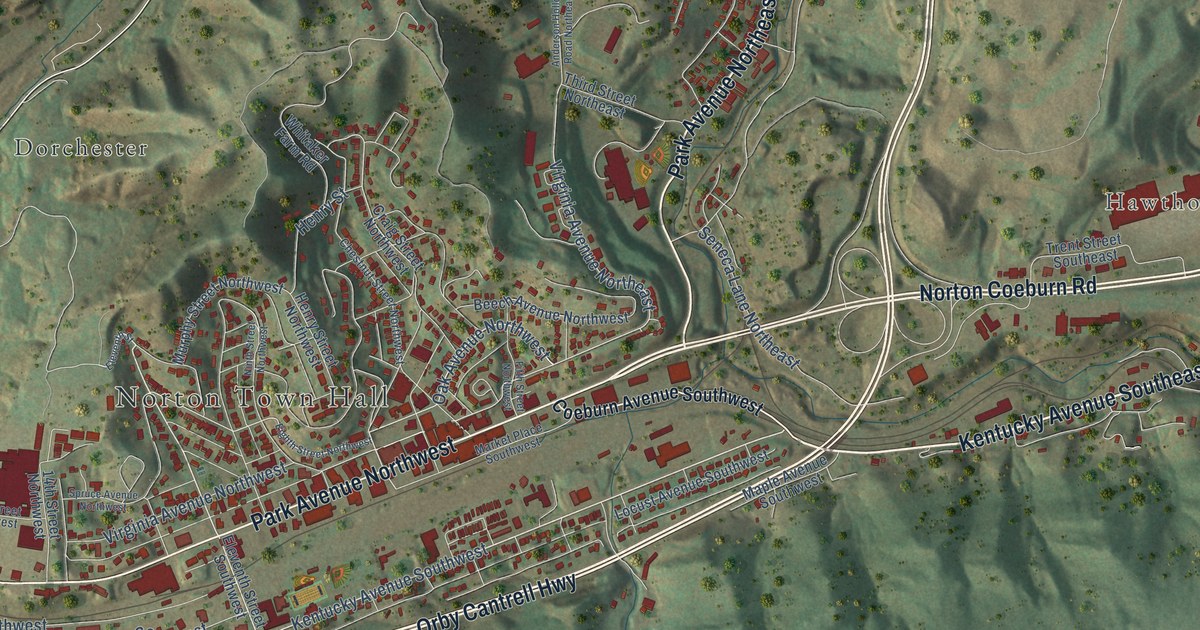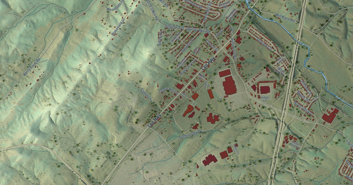
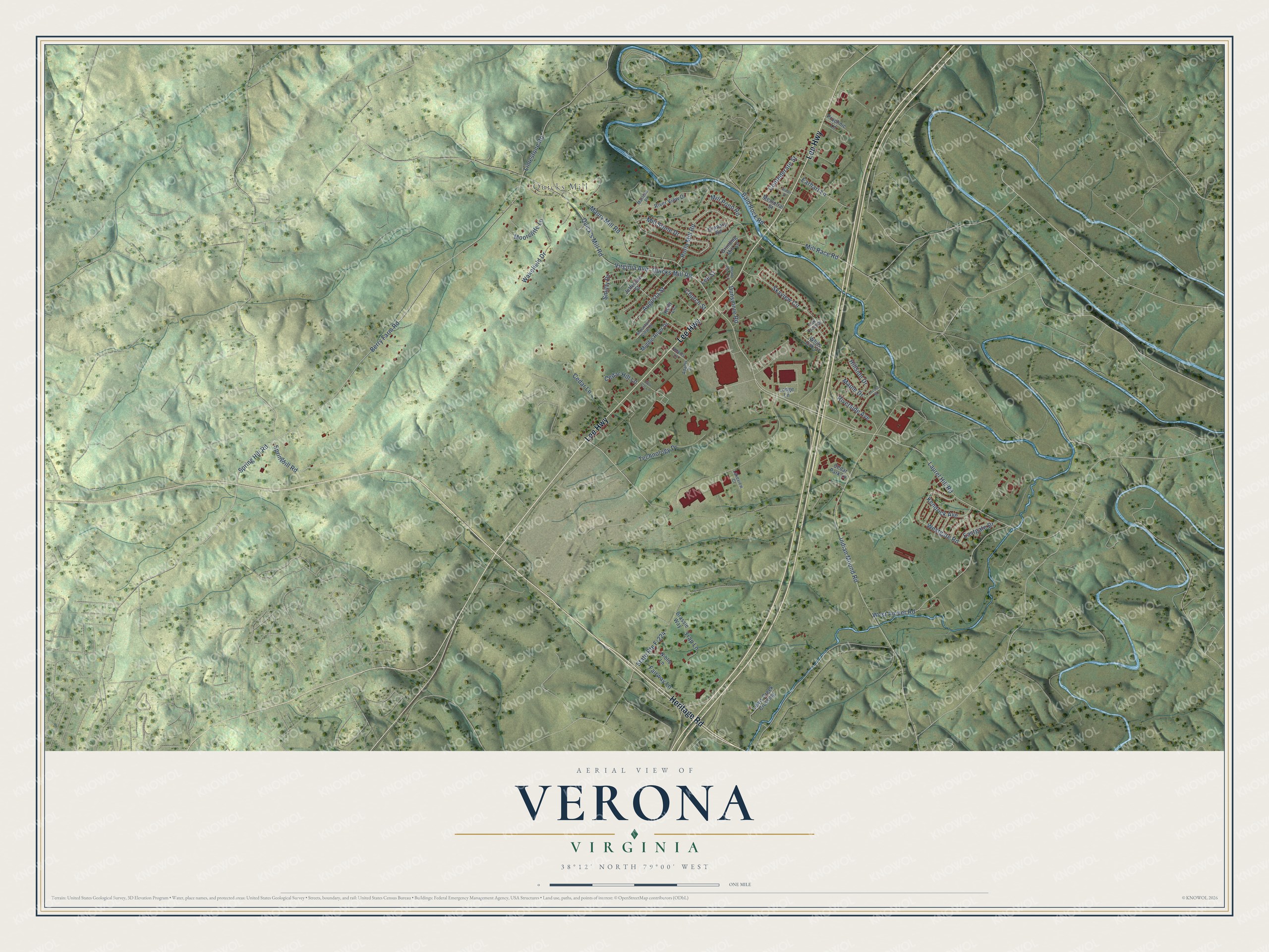
This beautifully detailed map of Verona, Virginia was created in 2026 using aerial imagery combined with modern topographical, census, street and landmark data. It's a modern aerial view of Verona in Augusta County, Virginia, that combines modern data with a vintage aesthetic. The roads feature printed names, and if you look closely you can find your exact house accurately shown in its correct location.
Explore an aerial view of Verona, Virginia
On this map you'll find Quicks Mill, Heritage Road, Lee Highway, Berry Farm Road, Springhill Road, Laurel Hill Road, Rolla Mill Road, Indian Mound Road, Riverside Avenue, Maple Drive, Eastgate Drive, Quick's Mill Road, and more. Each red shape is a building, so zoom in on the preview and look for yours.
Verona has a story worth telling. Before her folk art paintings made her famous as Grandma Moses, Anna Mary Robinson Moses lived at Mt. Airy, a brick farmhouse built about 1850, with her husband Thomas and their children. They lived there from 1901 to 1902, and it was the first home the couple bought. At least 38 of the more than 1,000 paintings she made later in life show scenes in Virginia. That's from the Virginia Department of Historic Resources.
Verona is a community in Augusta County. The Census Bureau counted 4,398 people here in 2020.
Take a closer look at the Verona map
Names on this map
These names are printed on this map.
Places: Quicks Mill.
Streets and roads: Heritage Road, Lee Highway, Berry Farm Road, Springhill Road, Laurel Hill Road, Rolla Mill Road, Indian Mound Road, Riverside Avenue, Maple Drive, Eastgate Drive, Quick's Mill Road, Virginia Avenue.
More street names, A to Z
Adams Drive, Adams Lane, Augusta Street, Bald Rock Road, Brassie Way, Cedar Hill Lane, Cedar Lane, Cedar Park Lane, Church Street, Confederate Street, Dunsmore Road, Earhart Lane, Fairway Lane, Gov Ctr Lane, Granary Road, Grinding Mill Lane, Hillside Drive, Holly Lane, Jefferson Street, Kendrick Avenue, Lakeview Court, Lee Street, Lewis Creek Crossing, Limestone Road, Locust Street, Lodge Lane, Marlene Place, Maury Mill Road, Meade Park Circle, Memorial Street, Middle River Drive, Mill Pond Road, Mill Race Road, Mill Stone Drive, Moorcliffe Lane, Mountain View Drive, Niblic Lane, Oak Crest Drive, Pruchnic Lane, Quicks Mill Road, River View Drive, Skyview Circle, Smitty Drive, Spring Hill Road, State Route F-224, Stuart Street, Technology Drive, Trap Lane, Wakefield Drive, West Amber Road, Westgate Road, White Oak Drive.
See it on a wall
The Verona map as a framed print. Swipe for more.


Created by KNOWOL in 2026. The buildings are small red shapes, the roads carry their printed names, and shaded relief shows the shape of the land. The title panel reads "AERIAL VIEW OF VERONA, VIRGINIA" with 38°12' NORTH 79°00' WEST.
It looks right in a kitchen, an office or a den, and it's a gift for anyone who grew up in Verona or moved away. Open the preview and find your street. See sizes and frames for the Verona map.