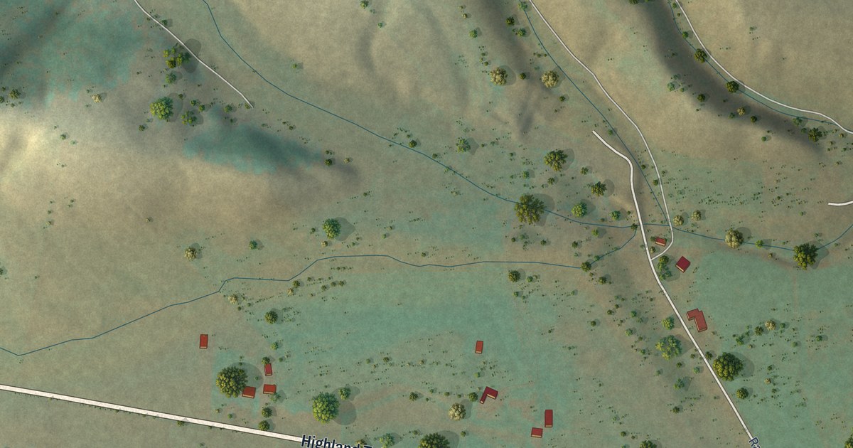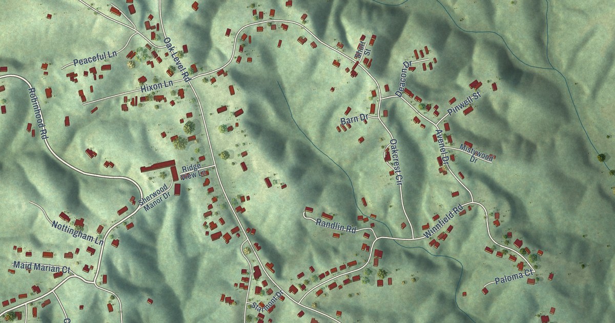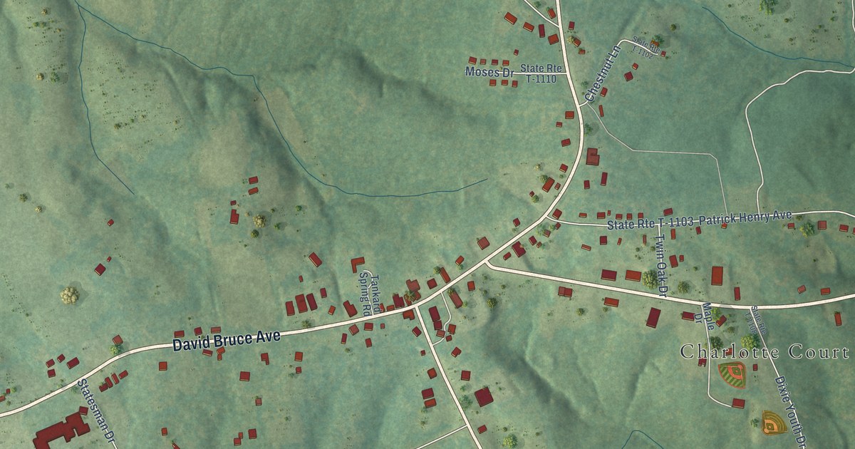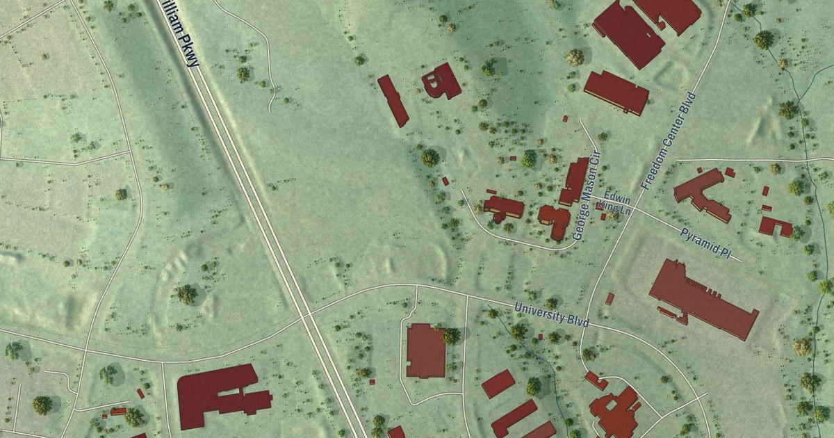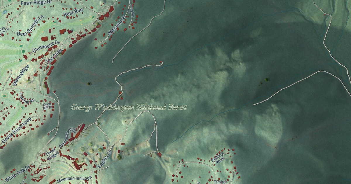
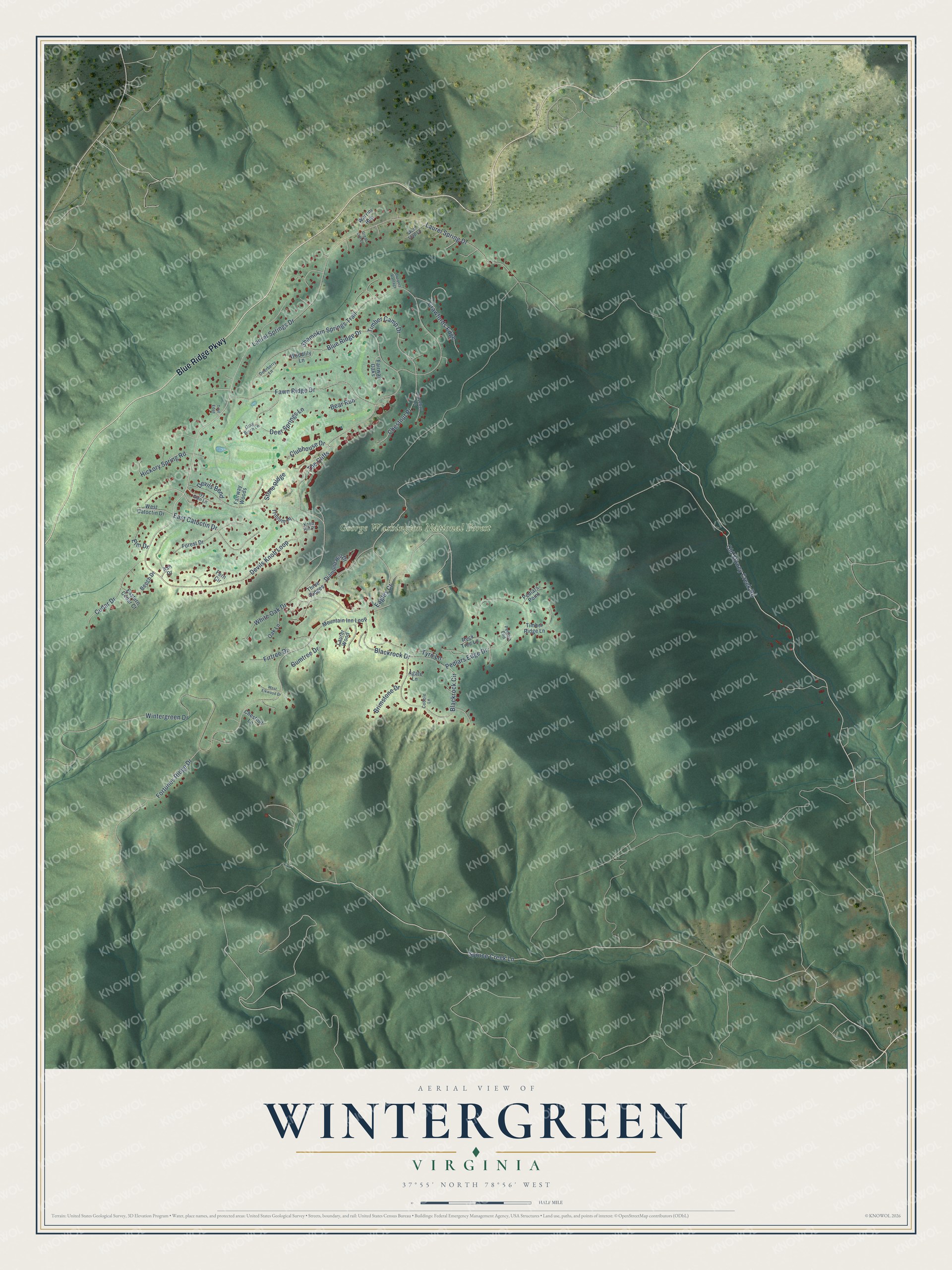
This beautifully detailed map of Wintergreen, Virginia was created in 2026 using aerial imagery combined with modern topographical, census, street and landmark data. It's a modern aerial view of Wintergreen in Nelson County, Virginia, that combines modern data with a vintage aesthetic. The roads feature printed names, and if you look closely you can find your exact house accurately shown in its correct location.
Explore an aerial view of Wintergreen, Virginia
On this map you'll find George Washington National Forest, Blue Ridge Parkway, Laurel Springs Drive, Devils Knob Loop, Hickory Spring Road, Cedar Drive, Laurel Spring Drive, Fortunes Ridge Drive, Wintergreen Drive, Old Stoney Creek Road, Blue Ridge Drive, Spruce Creek Lane, and more. Each red shape is a building, so zoom in on the preview and look for yours.
Here is a piece of Wintergreen history. Wintergreen Resort, developed in the 1970s, took its name from the Rockfish Valley village and farm of Wintergreen, supposedly because the name was already on Virginia road maps. The village post office had taken the name Wintergreen in 1902, after the adjacent farm, which had once included the village. The south fork of the Rockfish River rises on Devils Knob Mountain, within the resort. That's from the Rockfish Valley Foundation.
Wintergreen is a community in Nelson County. The Census Bureau counted 346 people here in 2020.
Take a closer look at the Wintergreen map
Names on this map
These names are printed on this map.
Places: George Washington National Forest.
Streets and roads: Blue Ridge Parkway, Laurel Springs Drive, Devils Knob Loop, Hickory Spring Road, Cedar Drive, Laurel Spring Drive, Fortunes Ridge Drive, Wintergreen Drive, Old Stoney Creek Road, Blue Ridge Drive, Spruce Creek Lane, Shamokin Springs Trail.
More street names, A to Z
Agate Lane, Ash Drive, Bear Run, Beech Drive, Blackrock Circle, Blackrock Drive, Brimstone Drive, Chestnut Lane, Chestnut Place, Clubhouse Drive, Cobble Lane, Coopers Vantage, Crawfords Edge, Deerberry Lane, Deer Springs Lane, Devils Bend, Diamond Hill Drive, Eagles Court, East Catoctin Drive, Eastern Cedar Court, Elm Drive, Fairway Oaks, Fairway Woods, Fawn Ridge Drive, Fern Circle, Firtree Drive, Forest Drive, Gray Birch Lane, Great Owl Lane, Gumtree Drive, Ivy Glen Lane, Knob Hill Place, Laurer Wood, Mountain Inn Loop, Oak Lane, Pedlars Edge Drive, Pedlars End, Pedlars Point, Rock Tree Lane, Rosebay Lane, Stone Ridge, The Cliffs, Three Ridges, Timber Camp Drive, Timber Ridge Lane, Trail Edge, Trillium Place, Tyro Lane, Warrior Run, West Catoctin Drive, West Elkwood Drive, White Oak Drive, Wolf Trap Lane, Woodlily Lane.
See it on a wall
The Wintergreen map as a framed print. Swipe for more.


Created by KNOWOL in 2026. The buildings are small red shapes, the roads carry their printed names, and shaded relief shows the shape of the land. The title panel reads "AERIAL VIEW OF WINTERGREEN, VIRGINIA" with 37°55' NORTH 78°56' WEST.
It suits a den, a classroom or a front hall, and it makes a gift for anyone with Wintergreen roots. Open the preview and find the block you know. See sizes and frames for the Wintergreen map.