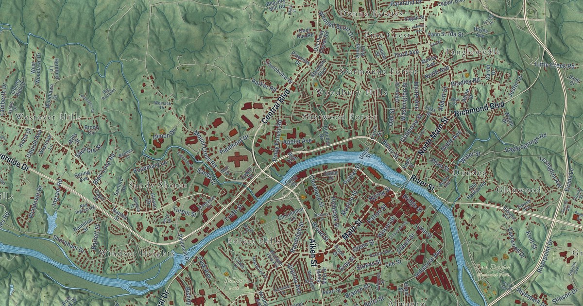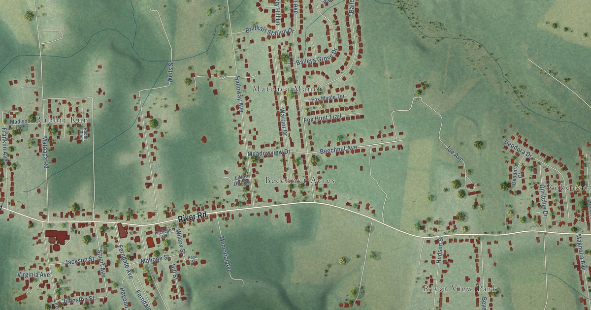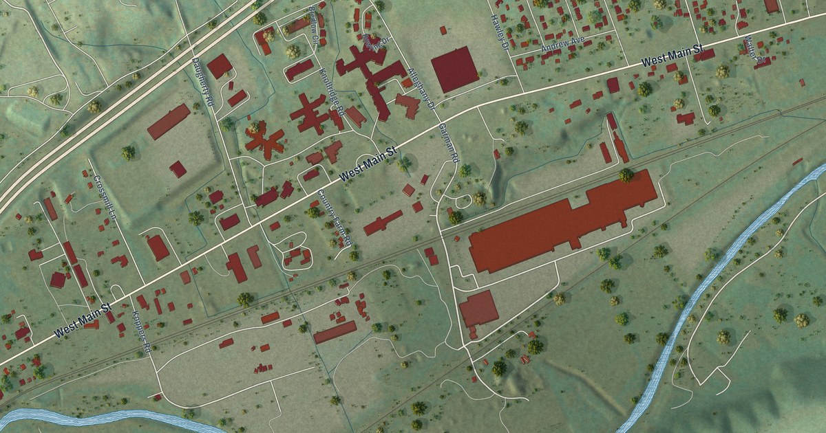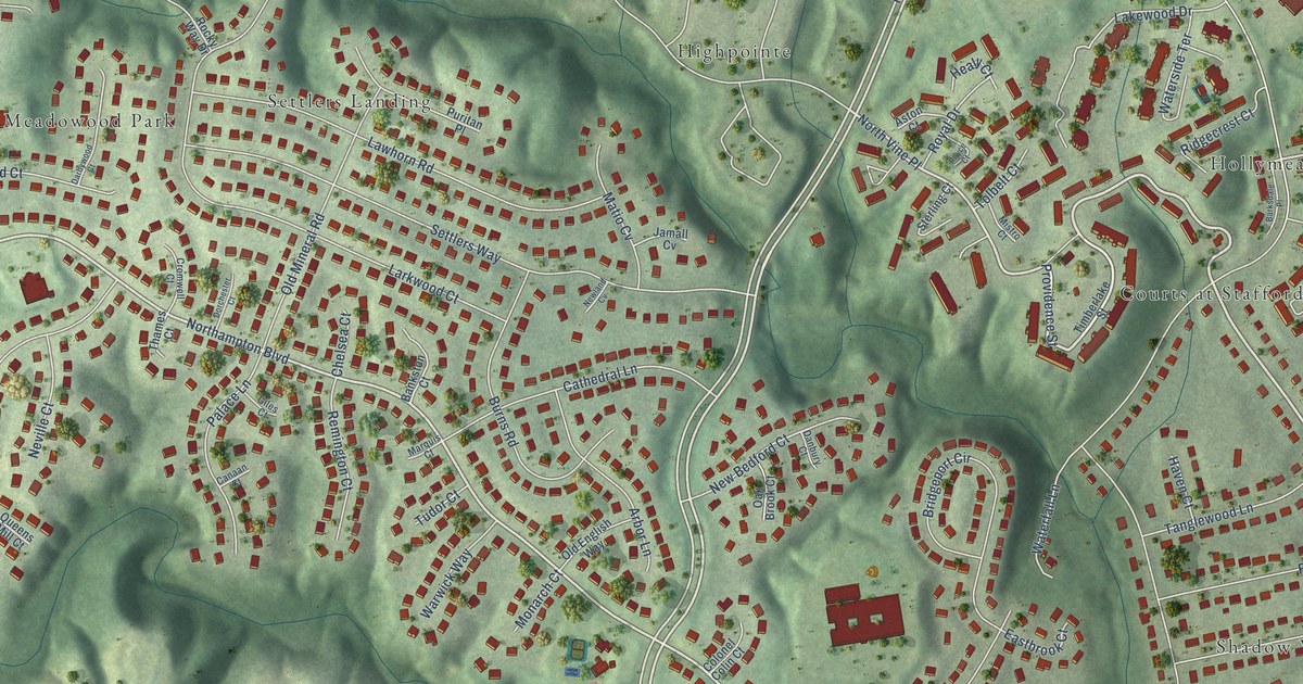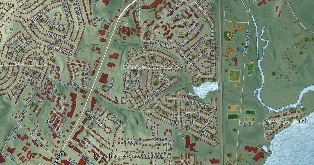
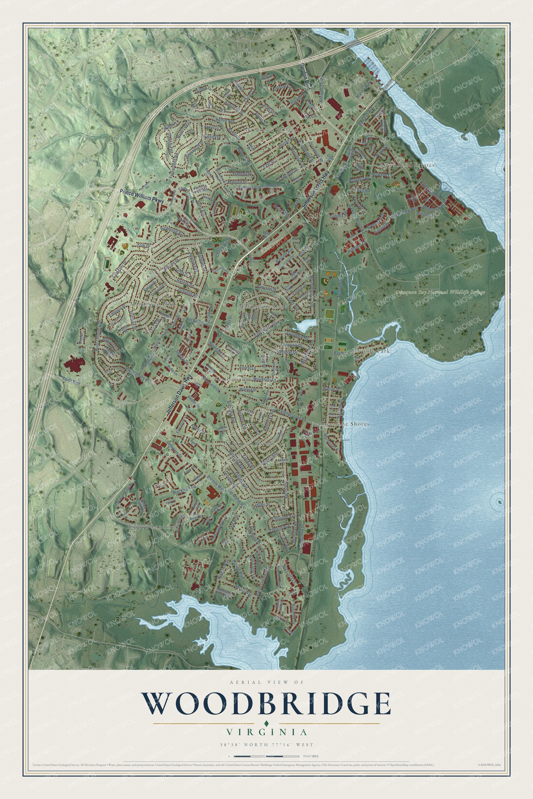
This beautifully detailed map of Woodbridge, Virginia was created in 2026 using aerial imagery combined with modern topographical, census, street and landmark data. It’s a one-of-a-kind view of Woodbridge that combines accurate data with a vintage aesthetic. The map shows every building in its true location, many of the roads carry their names, and the shaded topographic relief shows the shape of the land.
Explore an aerial view of Woodbridge, Virginia
On the map you’ll find River Bend Estates, Marumsco Village, Occoquan Bay National Wildlife Refuge, Bayside Park, Featherstone, Featherstone Shores, Marumsco Acres, Marumsco Hills, Marumsco Woods, and Rippon Landing, along with Jefferson Davis Highway, Prince William Parkway, and more. If you look closely you can even find your house accurately drawn in its correct location. Zoom in on the preview to look for yours.
Did you know this piece of Woodbridge, Virginia history?
From Historic Prince William: "The George Mason family acquired ownership about 1692 when 534 acres, which is now the site of present day Woodbridge, were purchased from Henry Corbin."
Take a closer look at the Woodbridge map
Street and place names on the Woodbridge, Virginia map
These names are printed on the map of Woodbridge, Virginia.
Places: River Bend Estates, Marumsco Village, Occoquan Bay National Wildlife Refuge, Bayside Park, Featherstone, Featherstone Shores, Marumsco Acres, Marumsco Hills, Marumsco Woods and Rippon Landing.
Streets and roads: Jefferson Davis Highway, Prince William Parkway, Gordon Boulevard, Rippon Boulevard, Belmont Bay Drive, Express Drive, Marys Way, Annapolis Way, Armstead Street, Dawson Beach Road, Lynn Street, Grindle Lane.
More street names, A to Z
Aiden Drive, Alabama Avenue, Alaska Court, Alaska Road, Aldrin Street, Alexis Road, Alison Street, Anne Street, Ann Scarlet Court, Arizona Avenue, Arizona Court, Arkansas Court, Arkansas Street, Arum Place, Ashford Place, Averet Street, Avocet Loop, Azalea Lane, Bald Eagle Lane, Barn Swallow Place, Baxter Street, Bay Circle, Bayside Avenue, Bay Street, Bayview Drive, Bay Vista Drive, Beacon Ridge Drive, Bel Air Road, Bellona Road, Big Crest Lane, Blackburn Road, Blacksmith Terrace, Bobolink Drive, Bottner Court, Botts Avenue, Brice Street, Burton Street, California Street, Cannons Court, Carter Lane, Cedar Cove Way, Charles Court, Church Hill Drive, Cobb Court, Colchester Ferry Place, Colchester Road, Colorado Avenue, Columbia Road, Congress Street, Cope Street, Corbett Place, Course View Way, Cove Landing Drive, Cridercrest Place, Cronin Drive, Culpeper Drive, Cumberland Drive, Dabney Road, Deerfield Lane, Delaware Drive, Donna Lane, Dorothy Lane, Duckling Place, East Longview Drive, East Street, Easy Street, Egret Court, Eiderdown Court, Eisenhower Circle, Emporia Street, Enterprise Lane, Essex Drive, Everett Avenue, Express Way, Farm Creek Drive, Fawn Hollow Lane, Featherstone Road, Fisher Avenue, Fitzhugh Lane, Fleet Street, Flintlock Terrace, Florida Avenue, Forest Glen Road, Forest Lane, Frances Drive, Franklin Street, Georgia Road, Giles Street, Grandview Avenue, Grayson Road, Greenacre Drive, Greendale Drive, Green Drive, Grundy Road, Gullane Drive, Gunsmith Terrace, Hale Court, Halifax Road, Harbor Side Street, Harrison Street, Herons Run Lane, Heron Way, Highams Court, Hill Court, Hope Street, Hopton Road, Horner Road, Hornet Way, Hyatt Place, Hylton Avenue, Idaho Street, Illinois Court, Illinois Road, Indiana Avenue, Industry Court, Irene Court, Jeffries Road, Joyce Road, Kentucky Avenue, Knowles Street, Ladue Court, Lamar Road, Laurel Street, Linden Street, Lodge Terrace, Longview Drive, Lord Culpeper Court, Louisa Street, Madison Court, Maple Leaf Lane, Marina Way, Marseille Lane, Marsh Overlook Drive, Marumsco Drive, Maryland Avenue, Mathews Drive, Maurice Drive, Melbourne Avenue, Meridian Drive, Michigan Road, Millwood Drive, Mobile Lane, Monroe Drive, Montgomery Avenue, Mount Pleasant Drive, Norwood Lane, Nottaway Road, Occoquan Road, Ohio Avenue, Old Kings Road, Old Marsh Road, Old Post Terrace, Opitz Boulevard, Orange Court, Oregon Avenue, Outlet Road, Overlook Drive, Patrick Street, Piccolo Lane, Pine Lane, Pinetree Drive, Pinewood Court, Postillion Terrace, Potomac Path Drive, Potomac View Avenue, Potomac Vista Drive, Pratt Street, Princess Anne Lane, Profit Court, Putnam Circle, Railroad Avenue, Randall Drive, Ranger Loop, Reddy Drive, Refuge Court, Regency Road, Richmond Avenue, Roanoke Street, Rope Drive, Rosa Drive, Rosedale Court, Sandra Drive, Shepherd Lane, Southampton Street, Stafford Street, Staggs Court, Stevens Road, Summerland Drive, Surrey Drive, Sussex Court, Sycamore Street, Teal Way, Tilletson Place, Tyler Circle, Valley Drive, Valley Stream Drive, Varsity Drive, Vestal Street, Veterans Drive, Village Drive, Walnut Street, Warren Drive, Watermans Drive, Wentwood Lane, West Longview Drive, West Pine Lane, Whistling Swan Way, Wigeon Way, Wigglesworth Way, Wildlife Way, Willow Lane, Woodbridge Street, Woodside Drive, Wood Street, Yardley Lane, York Drive.
See the Woodbridge, Virginia map on a wall
The Woodbridge map as an 18 x 24 inch print in a black frame.

This beautifully detailed map of Woodbridge makes an attractive addition to your office, library, or den, and it can even be used to teach children the geography and history of the area. It also makes a great gift for someone who left Woodbridge and still calls it home. When you’re done exploring, click here to get your copy of the Woodbridge map.