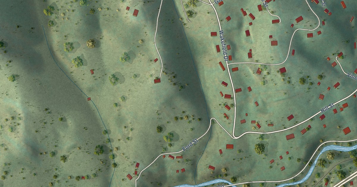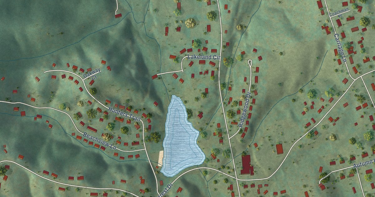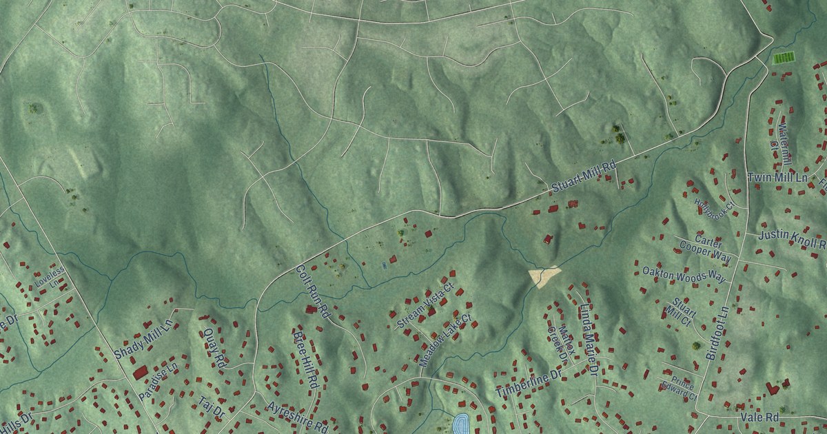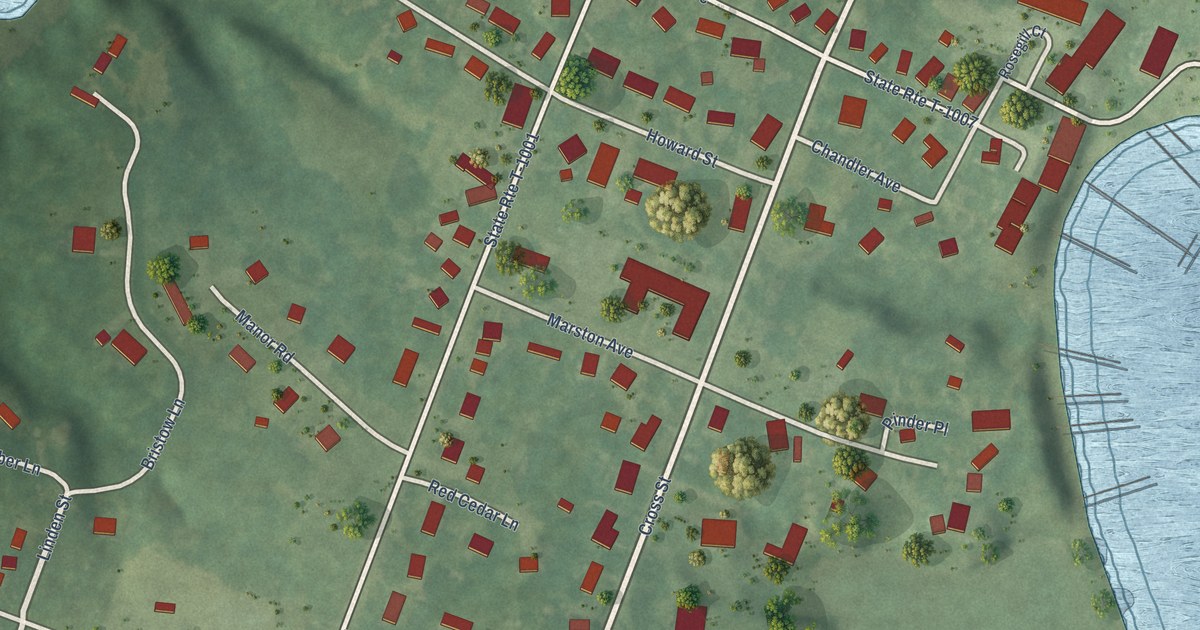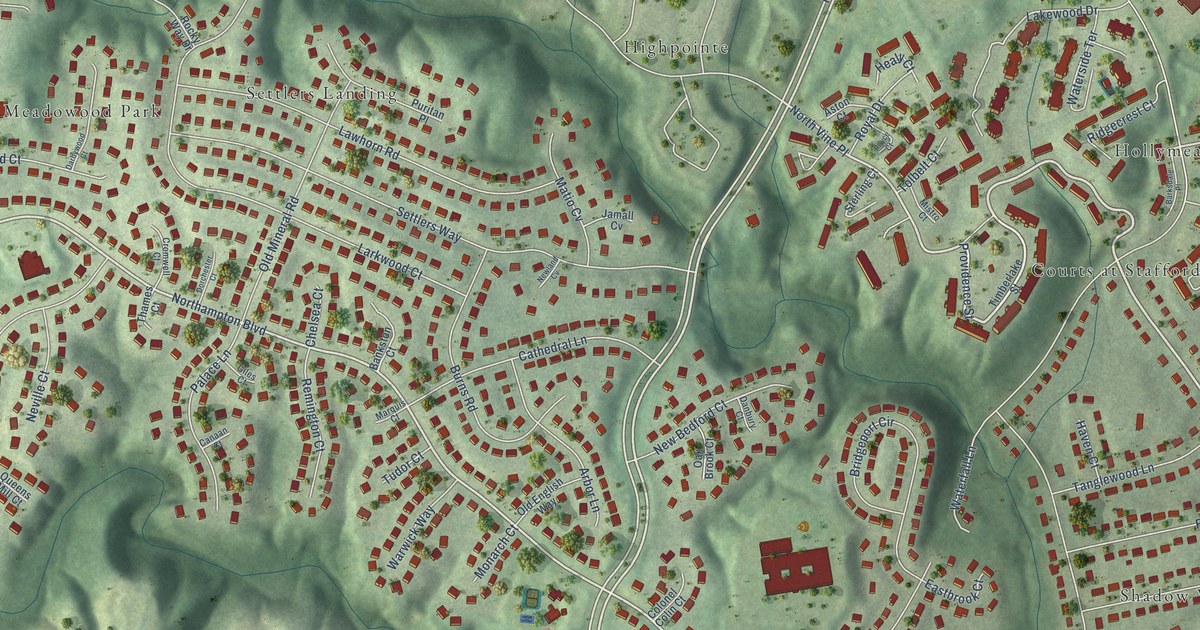
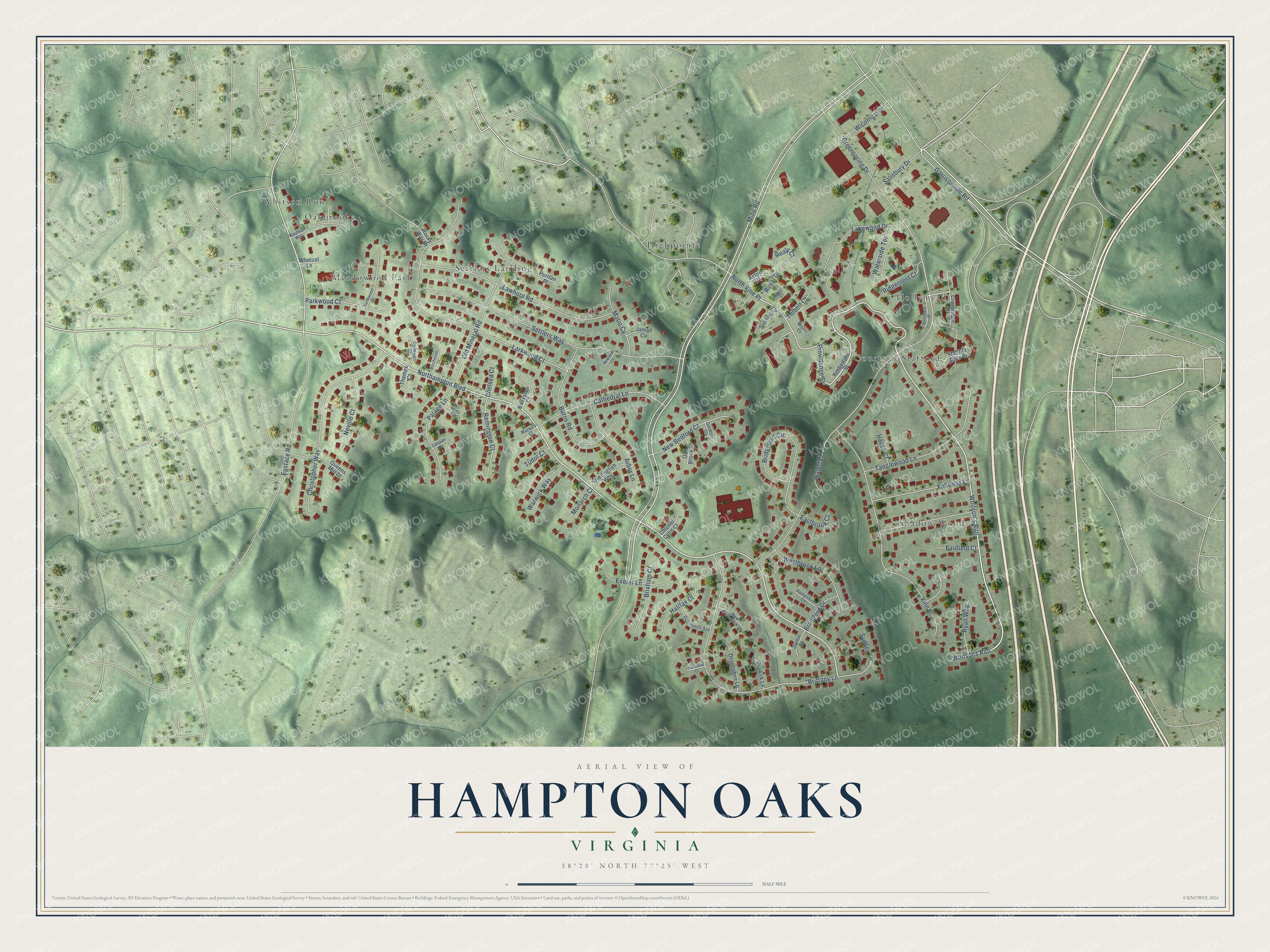
This beautifully detailed map of Hampton Oaks, Virginia was created in 2026 using aerial imagery combined with modern topographical, census, street and landmark data. It's a modern aerial view of Hampton Oaks in Stafford County, Virginia, that combines modern data with a vintage aesthetic. The roads feature printed names, and if you look closely you can find your exact house accurately shown in its correct location.
Explore an aerial view of Hampton Oaks, Virginia
On this map you'll find Highpointe, Whitson Run, Shadow Woods, Courts at Stafford, Settlers Landing, Meadowood Park, Hollymead, Oakbrooke, Providence Street, Whitson's Run, Northampton Boulevard, Mine Road, and more. Each red shape is a building, so zoom in on the preview and look for yours.
Hampton Oaks is a community in Stafford County. Hampton Oaks sits about 2 miles east of Park Ridge, 2 miles west of Aquia Harbour and 3 miles north of Courthouse Square. The map prints the town name in its title panel, with the coordinates below it.
Take a closer look at the Hampton Oaks map
Names on this map
These names are printed on this map.
Places: Highpointe, Whitson Run, Shadow Woods, Courts at Stafford, Settlers Landing, Meadowood Park, Hollymead and Oakbrooke.
Streets and roads: Providence Street, Whitson's Run, Northampton Boulevard, Mine Road, North Vine Place, Whitsons Run, Greenspring Drive, Eustace Road, Larkwood Court, Settlers Way, Brittany Lane, Garrisonville Road.
More street names, A to Z
Arbor Lane, Aston Court, Bankston Court, Barksdale Place, Baron Court, Brantford Drive, Bridgeport Circle, Brixham Court, Burns Road, Canaan Court, Cathedral Lane, Chelsea Court, Christopher Way, Colonel Colin Court, Cromwell Court, Crossridge Court, Danbury Court, Darbywood Court, Dartmouth Avenue, Devonshire Lane, Dorchester Court, Dunkirk Lane, Eastbrook Court, Exeter Lane, Fairfield Court, Fallsway Lane, Giles Court, Halifax Court, Hampshire Court, Haven Court, Healy Court, Jamall Cv, Lakewood Drive, Lawhorn Road, Marquis Court, Matio Cv, Mistro Court, Monarch Court, Neville Court, New Bedford Court, New Brunswick Court, Newland Cv, Oak Brook Court, Old English Way, Old Mineral Road, Palace Lane, Parkwood Court, Puritan Place, Queens Mill Court, Remington Court, Ridgecrest Court, Rocky Way Drive, Royal Drive, Royce Court, Ryan Way, Salisbury Drive, Stafford Glen Court, Sterling Court, Sydney Lane, Tanglewood Lane, Thames Court, Timberlake Street, Tolbelt Court, Tudor Court, Vine Place, Warwick Way, Waterfall Lane, Waterside Terrace, Wedman Way, Westbrook Lane, Whetzel Lane, Wicomico Drive, Yorkshire Court.
See it on a wall
The Hampton Oaks map as a framed print. Swipe for more.


Created by KNOWOL in 2026. The buildings are small red shapes, the roads carry their printed names, and shaded relief shows the shape of the land. The title panel reads "AERIAL VIEW OF HAMPTON OAKS, VIRGINIA" with 38°28' NORTH 77°25' WEST.
Hang it in the hallway, the office or the cabin, or give it to someone who left Hampton Oaks and still calls it home. Open the preview and look for a street you know. See sizes and frames for the Hampton Oaks map.