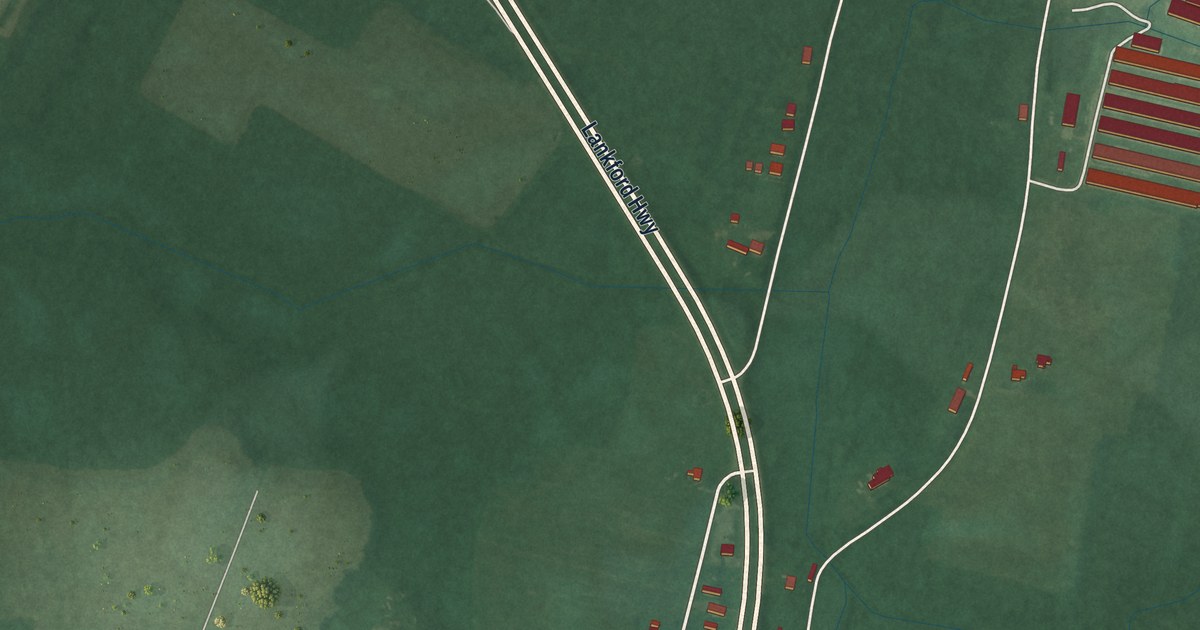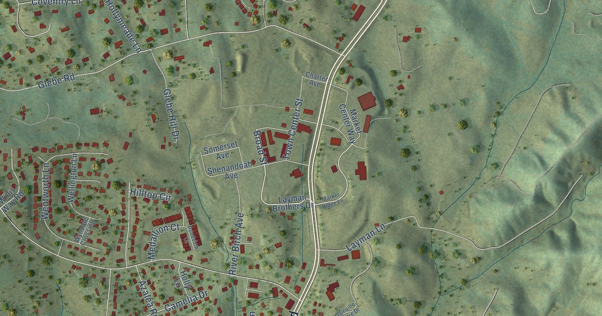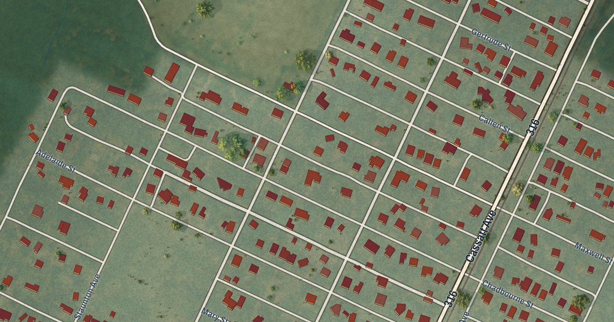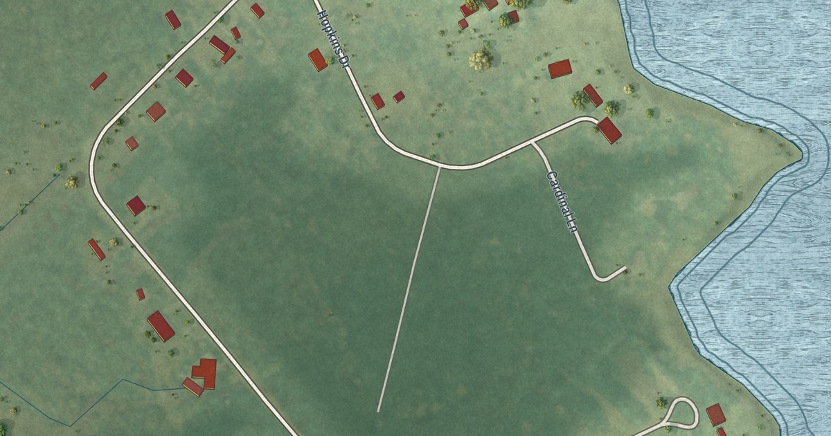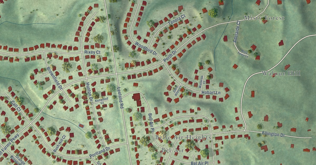
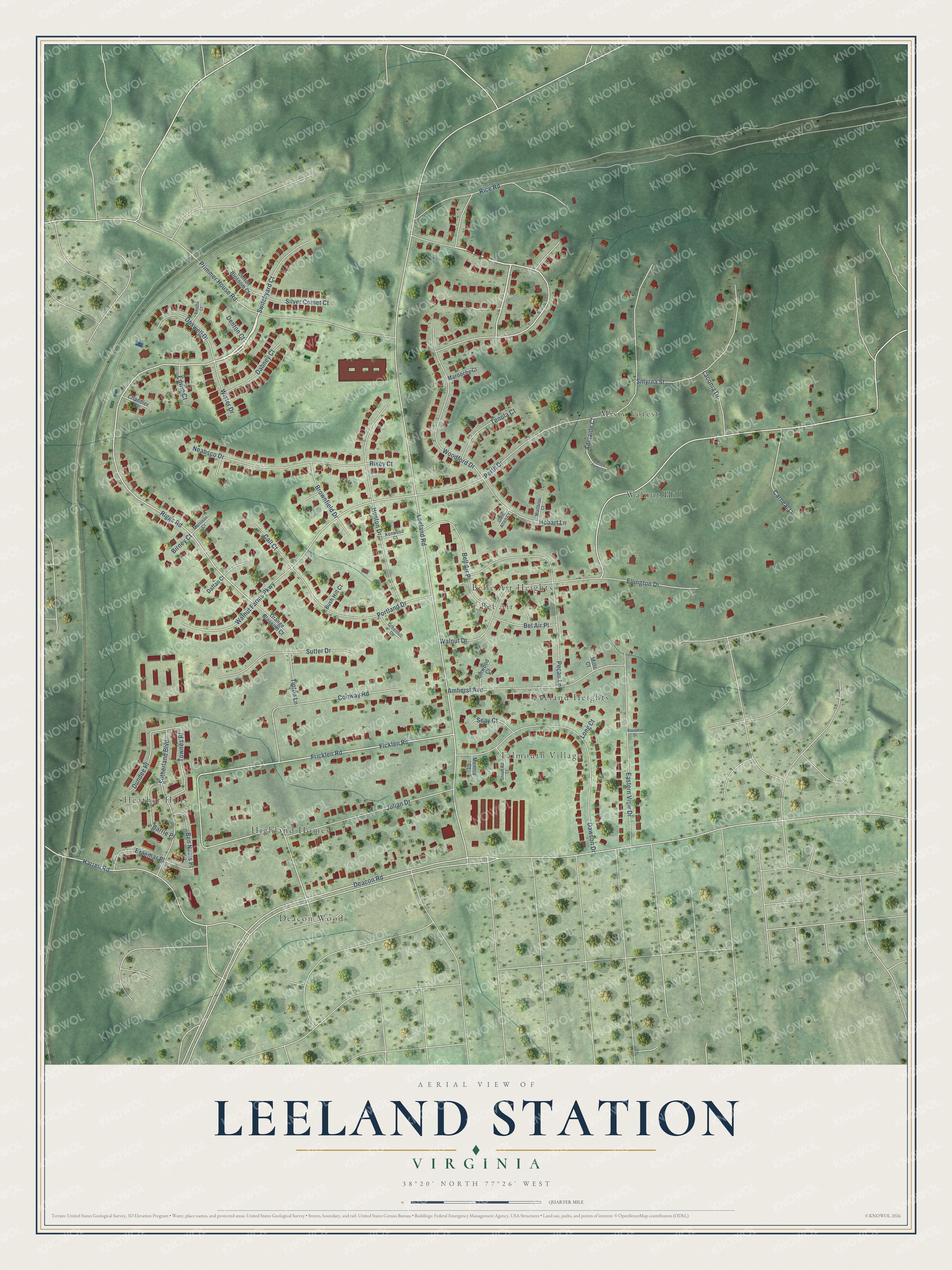
This beautifully detailed map of Leeland Station, Virginia was created in 2026 using aerial imagery combined with modern topographical, census, street and landmark data. It's a modern aerial view of Leeland Station in Stafford County, Virginia, that combines modern data with a vintage aesthetic. The roads feature printed names, and if you look closely you can find your exact house accurately shown in its correct location.
Explore an aerial view of Leeland Station, Virginia
On this map you'll find Falmouth Village, Misty Forest, Heather Hills, Belle Air Heights, Deacon Woods, Highland Homes, Leeland Heights, Walnut Hill, Bel Air, Riggs Road, Ficklen Road, Walnut Farms Parkway, and more. Each red shape is a building, so zoom in on the preview and look for yours.
Leeland Station is a community in Stafford County. Leeland Station sits about 2 miles northeast of Chatham Heights, 3 miles north of Ferry Farm and 3 miles southeast of Falls Run. The map prints the town name in its title panel, with the coordinates below it.
Take a closer look at the Leeland Station map
Names on this map
These names are printed on this map.
Places: Falmouth Village, Misty Forest, Heather Hills, Belle Air Heights, Deacon Woods, Highland Homes, Leeland Heights, Walnut Hill and Bel Air.
Streets and roads: Riggs Road, Ficklen Road, Walnut Farms Parkway, Deacon Road, Leeland Road, Walnut Drive, Perth Drive, Fricklen Road, Dawson Drive, Primmer House Road, Harrell Road, Pecan Lane.
More street names, A to Z
Adelaide Court, Amherst Avenue, Barrie Place, Bel Air Place, Bell Air Place, Ben Neuis Place, Birney Court, Braemar Place, Brownfield Drive, Bush Hill Court, Call Court, Carneal Lane, Chandler Court, Conway Road, Cotton Blossom Court, Dabney Court, Daffan Court, Denton Court, Doswell Drive, Dundee Place, Eastern View Drive, Edwin Court, Ellington Drive, Glen Allen Court, Greenhill Drive, Hobart Lane, Hunton Drive, Julian Drive, Kenwood Court, Laconia Drive, Linwood Court, Long Court, Maroochy Court, Mennis Court, Mills Court, Misty Forest Lane, Morrison Court, Neabsco Drive, Orange Blossom Court, Portland Drive, Prospect Drive, Rice Road, Rixey Court, Seay Court, Shephard Court, Silver Comet Court, Smyrna Street, Sutherland Boulevard, Sutter Drive, Switchyard Court, Tenola Court, Tipton Lane, Townes Place, Vaughn Court, Wallaroo Court, Wister Drive, Woodford Drive.
See it on a wall
The Leeland Station map as a framed print. Swipe for more.


Created by KNOWOL in 2026. The buildings are small red shapes, the roads carry their printed names, and shaded relief shows the shape of the land. The title panel reads "AERIAL VIEW OF LEELAND STATION, VIRGINIA" with 38°20' NORTH 77°26' WEST.
Hang it in the hallway, the office or the cabin, or give it to someone who left Leeland Station and still calls it home. Open the preview and look for a street you know. See sizes and frames for the Leeland Station map.