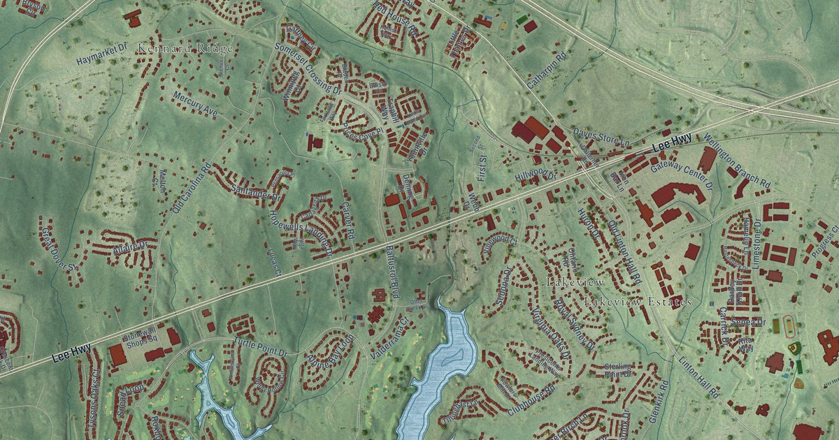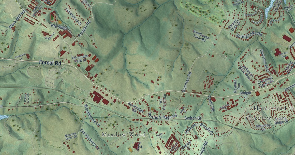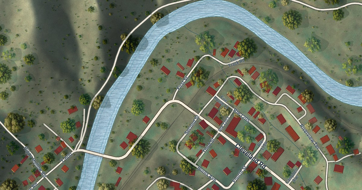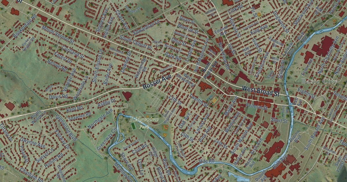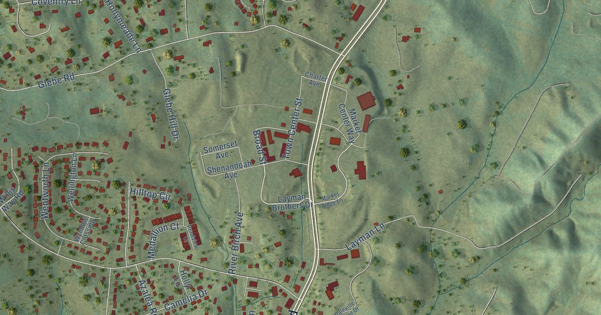
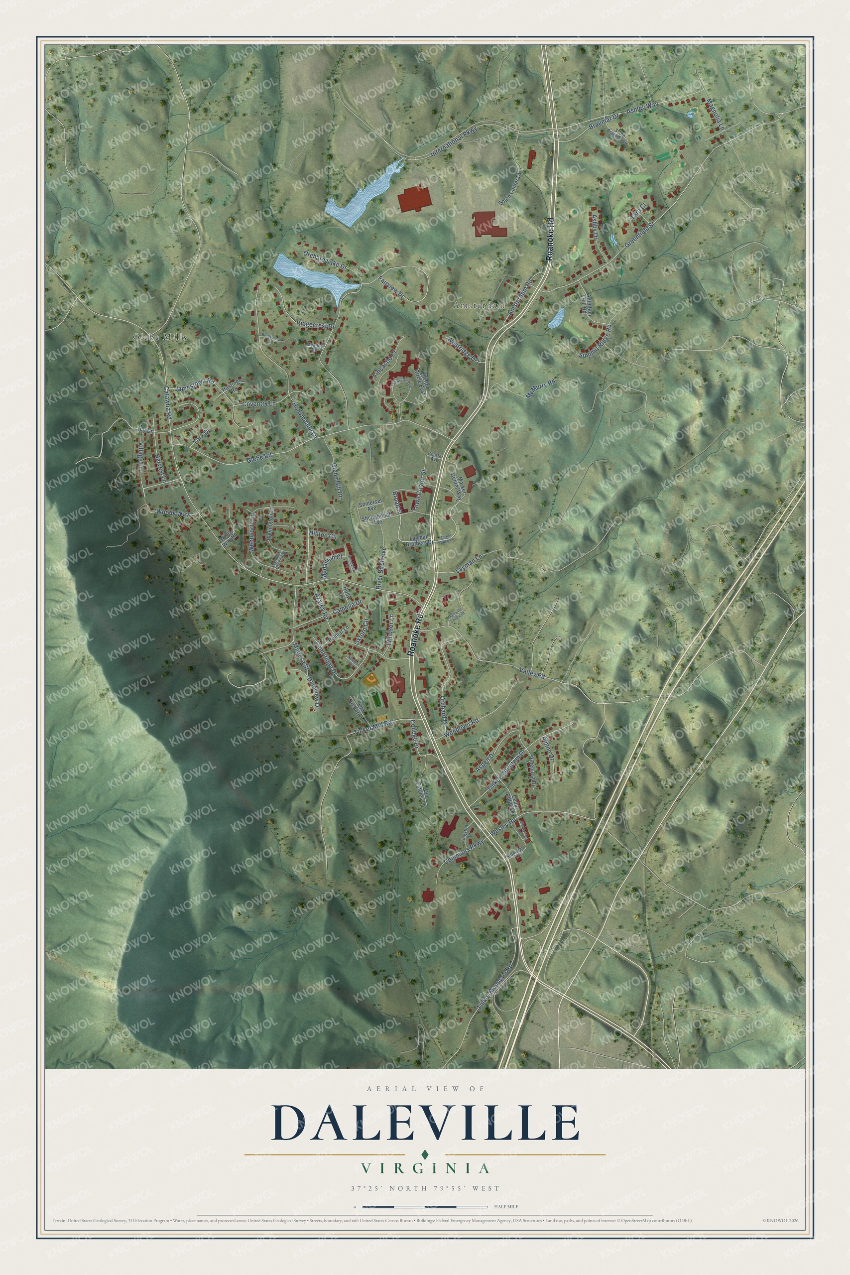
This beautifully detailed map of Daleville, Virginia was created in 2026 using aerial imagery combined with modern topographical, census, street and landmark data. It's a modern aerial view of Daleville in Botetourt County, Virginia, that combines modern data with a vintage aesthetic. The roads feature printed names, and if you look closely you can find your exact house accurately shown in its correct location.
Explore an aerial view of Daleville, Virginia
On this map you'll find Amsterdam, Glebe Mills, Roanoke Road, Village Lane, Broad Street, Catawba Road, Glebe Road, Valley Road, Greenfield Street, Wesley Road, Orchard Lake Drive, Azalea Road, and more. Each red shape is a building, so zoom in on the preview and look for yours.
Daleville is a community in Botetourt County. The Census Bureau counted 3,070 people here in 2020. Daleville sits about 2 miles west of Troutville, 4 miles north of Cloverdale and 5 miles northwest of Laymantown. The map prints the town name in its title panel, with the coordinates below it.
Take a closer look at the Daleville map
Names on this map
These names are printed on this map.
Places: Amsterdam and Glebe Mills.
Streets and roads: Roanoke Road, Village Lane, Broad Street, Catawba Road, Glebe Road, Valley Road, Greenfield Street, Wesley Road, Orchard Lake Drive, Azalea Road, McMurry Road, Hollymeade Lane.
More street names, A to Z
Alpine Drive, Amsterdam Road, Antietam Hill Road, Ashby Drive, Ashley Way, Aspen Drive, Belmar Lane, Braemar Drive, Brookview Circle, Cambridge Drive, Camelia Drive, Cedar Ridge Drive, Charter Avenue, College Drive, Commons Parkway, Coventry Lane, Daleview Drive, Daleville Centre Drive, Elliston Circle East, Fairview Drive, Fincastle Court, Glebe Hill Drive, Harvest Lane, Hastings Road, Hilltop Circle, Holly Lane, International Parkway, Ivy Lane, Jamestown Road, Kingston Drive, Layman Brothers Drive, Layman Lane, Magnolia Lane, Market Center Way, Market Ridge Lane, Meadow Circle, Medallion Court, Mimosa Street, Newport Circle, Old Estates Lane, Old Orchard Lane, Orchard Drive, Oxford Circle, Pinehurst Drive, Pondview Court, Ridgecrest Drive, River Birch Avenue, Shenandoah Avenue, Somerset Avenue, South Braemar Circle, South Center Drive, Stonedale Drive, Stoneridge Lane, Summit Ridge Road, Tara Court, The Glebe Boulevard, Tinker Mill Road, Tinker Mountain Drive, Tinker Mountain Road, Town Center Street, Wellington Lane, Wendover Road, Wentworth Lane, Westridge Drive, Willis Way Road, Windsor Lane, Woody Way, Wyndale Crossing, York Drive.
See it on a wall
The Daleville map as a framed print. Swipe for more.


Created by KNOWOL in 2026. The buildings are small red shapes, the roads carry their printed names, and shaded relief shows the shape of the land. The title panel reads "AERIAL VIEW OF DALEVILLE, VIRGINIA" with 37°25' NORTH 79°55' WEST.
It suits a den, a classroom or a front hall, and it makes a gift for anyone with Daleville roots. Open the preview and find the block you know. See sizes and frames for the Daleville map.