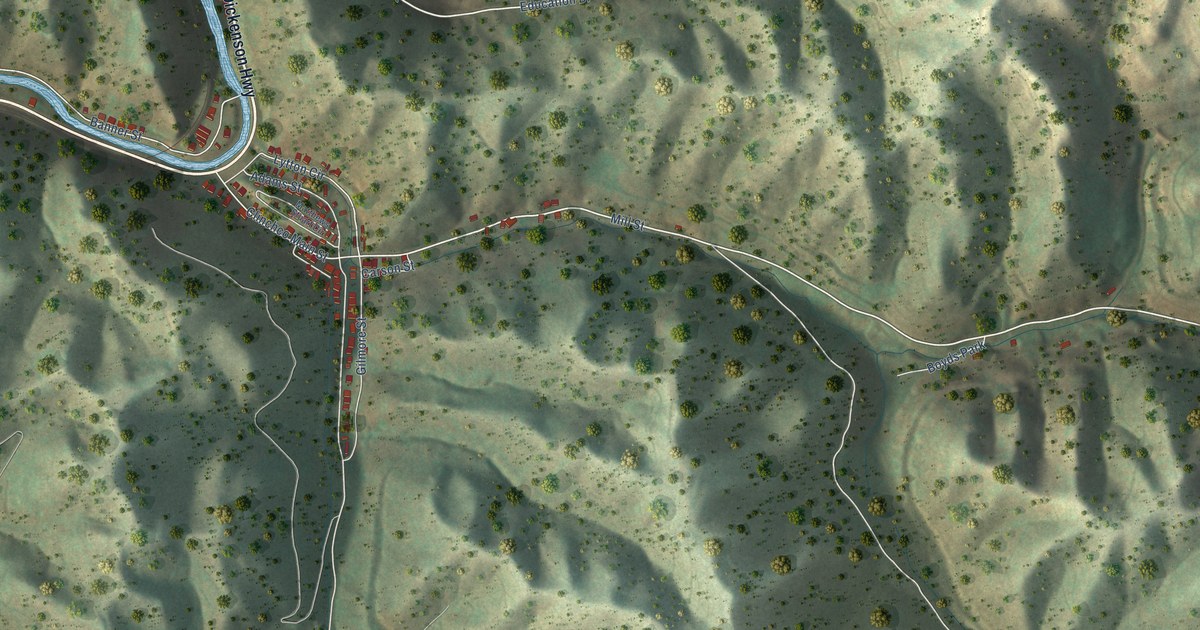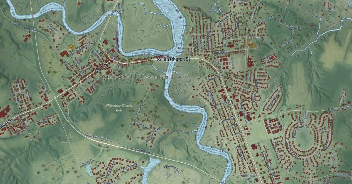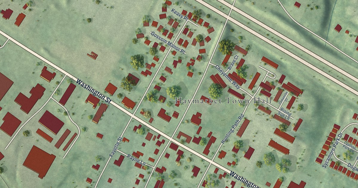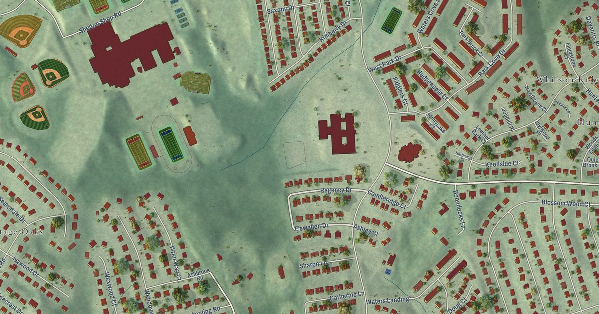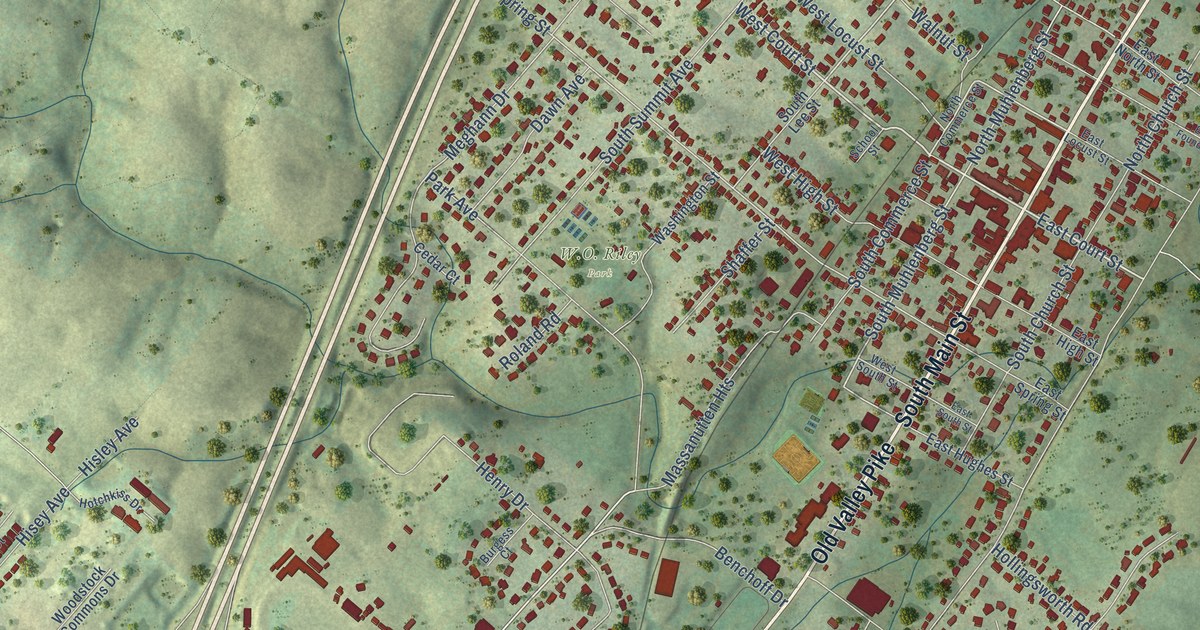
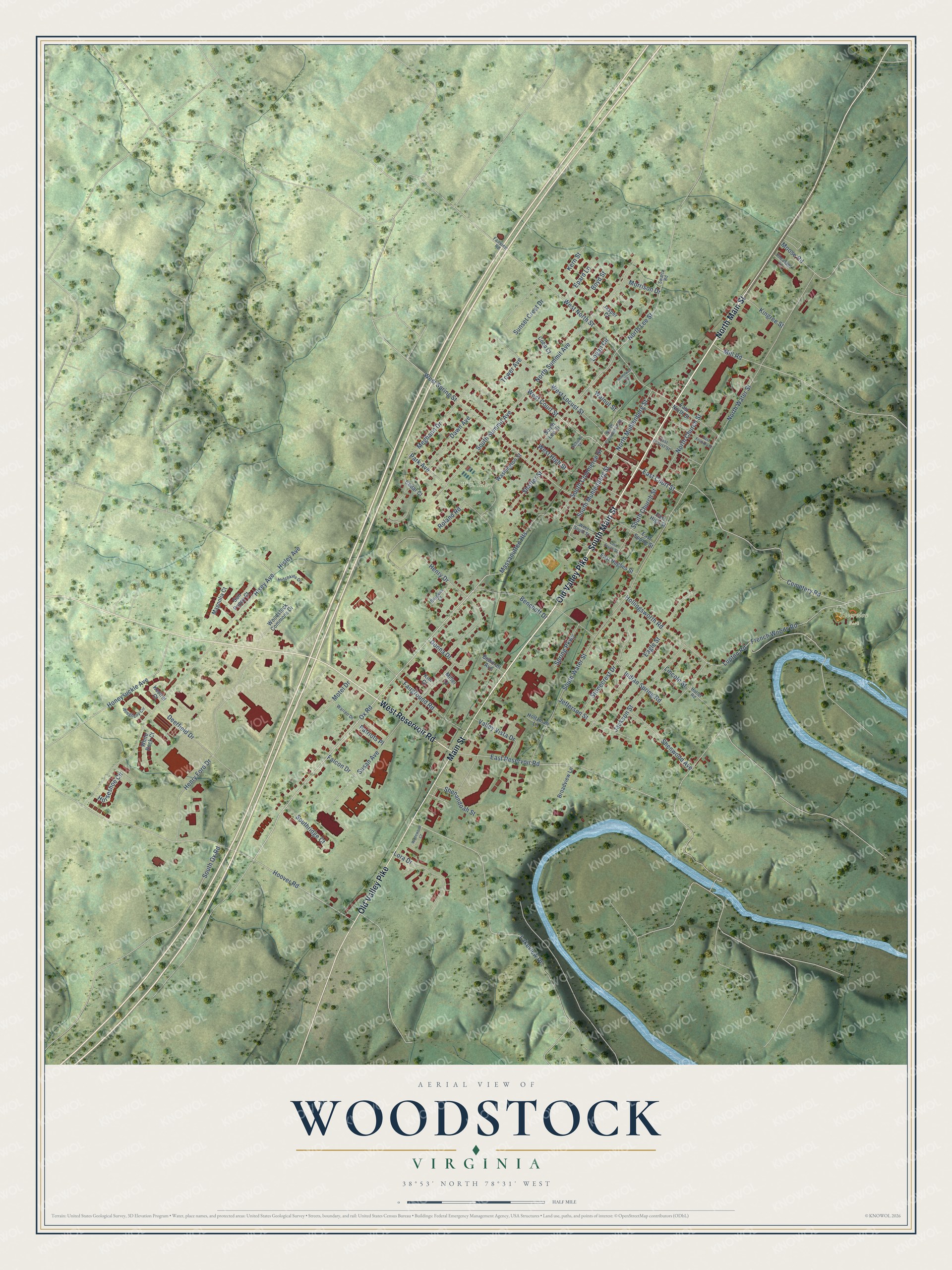
This beautifully detailed map of Woodstock, Virginia was created in 2026 using aerial imagery combined with modern topographical, census, street and landmark data. It’s a one-of-a-kind view of Woodstock that combines accurate data with a vintage aesthetic. The map shows every building in its true location, many of the roads carry their names, and the shaded topographic relief shows the shape of the land.
Explore an aerial view of Woodstock, Virginia
On the map you’ll find Riverview Park, along with South Main Street, North Main Street, West Reservoir Road, Old Valley Pike, Main Street, West Court Street, East Court Street, Ox Road, West Locust Street, South Muhlenberg Street, North Lee Street, and more. If you look closely you can even find your house accurately drawn in its correct location. Zoom in on the preview to look for yours.
Did you know this piece of Woodstock, Virginia history?
From Vcris.dhr.virginia.gov: "After black residents campaigned for a school building, Woodstock's first African American public school was built on the church lot in 1882."
Take a closer look at the Woodstock map
Street and place names on the Woodstock, Virginia map
These names are printed on the map of Woodstock, Virginia.
Places: Riverview Park and W.O. Riley Park.
Streets and roads: South Main Street, North Main Street, West Reservoir Road, Old Valley Pike, Main Street, West Court Street, East Court Street, Ox Road, West Locust Street, South Muhlenberg Street, North Lee Street, West North Street.
More street names, A to Z
Allegheny Circle, Benchoff Drive, Bowman Avenue, Boyd Street, Broadview Lane, Burgess Court, Cedar Court, Cemetery Road, Cobb Court, Dawn Avenue, Deerfield Drive, Donna Drive, Eagle Street, East Foundry Street, East High Street, East Hughes Street, East Locust Street, East North Street, East Reservoir Road, East South Street, East Spring Street, Epard Lane, Fairground Road, Fairview Road, Falcon Drive, French Woods Road, Henry Drive, Henry Ford Drive, Hisey Avenue, Hisley Avenue, Hollingsworth Road, Holtzman Lane, Honeysuckle Avenue, Hoover Road, Horseshoe Circle, Hotchkiss Drive, Hottel Road, Indian Spring Road, Jackson Street, Jasper Court, Jefferson Street, Kern Street, Kestrel Court, Kim Court, Kingree Street, Lakeview Drive, Lincoln Street, Logan Circle, Lora Drive, Lupton Road, Magnolia Court, Massanutten Heights, Meghann Drive, Miller Court, Mill Road, Moose Road, Morrison Drive, Motel Drive, North Church Street, North Commerce Street, North Muhlenberg Street, North Summit Avenue, North Water Street, Park Avenue, Patriots Place, Pheasant Lane, Roland Road, School Street, Shaffer Street, Shenandoah Street, Shenwood Avenue, South Church Street, South Commerce Street, South Lee Street, South Ox Road, Southridge Court, South Summit Avenue, South Water Street, Spring Parkway, Stonecrest Drive, Stonewall Circle, Sun Poppy Court, Sunset Crest Drive, Susan Avenue, Swartz Road, Tower Avenue, Valley Vista Drive, Wadewood Court, Walnut Street, Warren Drive, Washington Street, West High Street, West South Street, West Spring Street, White Rock Court, Woodstock Commons Drive.
See the Woodstock, Virginia map on a wall
The Woodstock map as an 18 x 24 inch print in a black frame.

This beautifully detailed map of Woodstock makes an attractive addition to your office, library, or den, and it can even be used to teach children the geography and history of the area. It also makes a great gift for anyone who grew up in Woodstock or moved away. When you’re done exploring, click here to get your copy of the Woodstock map.