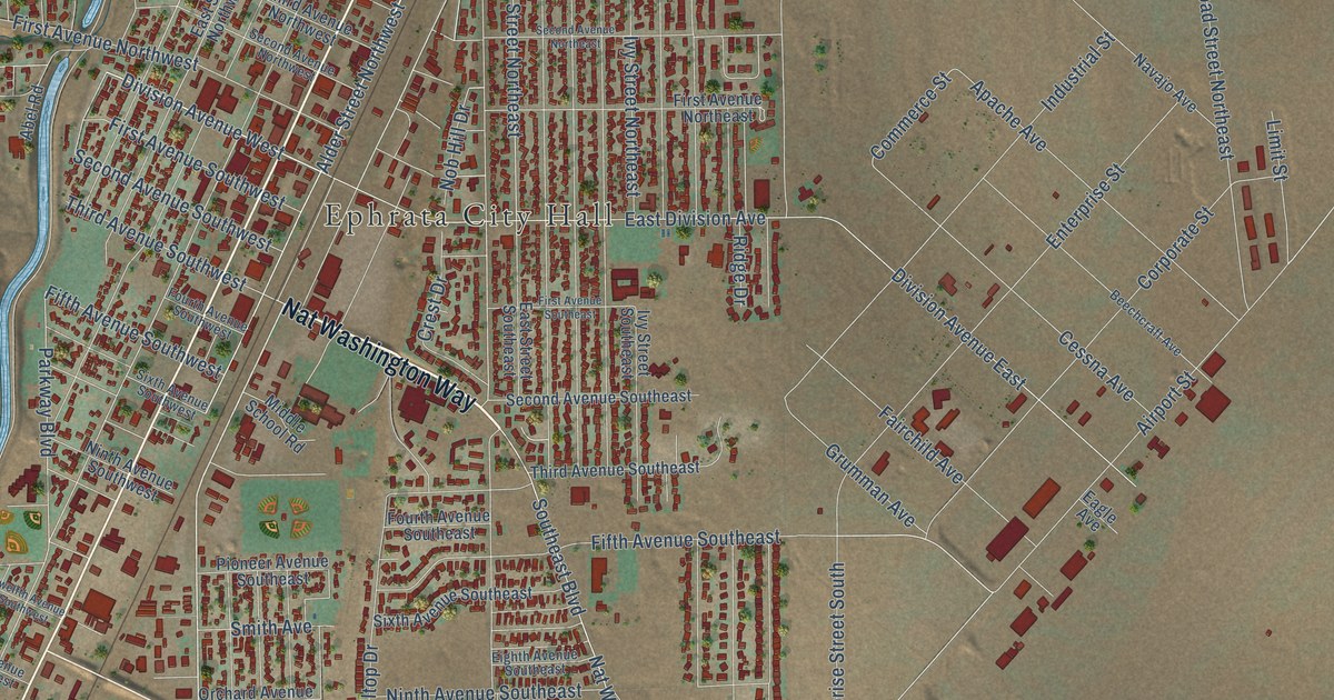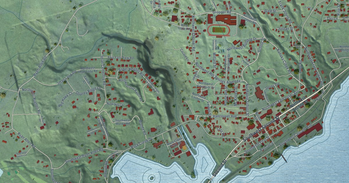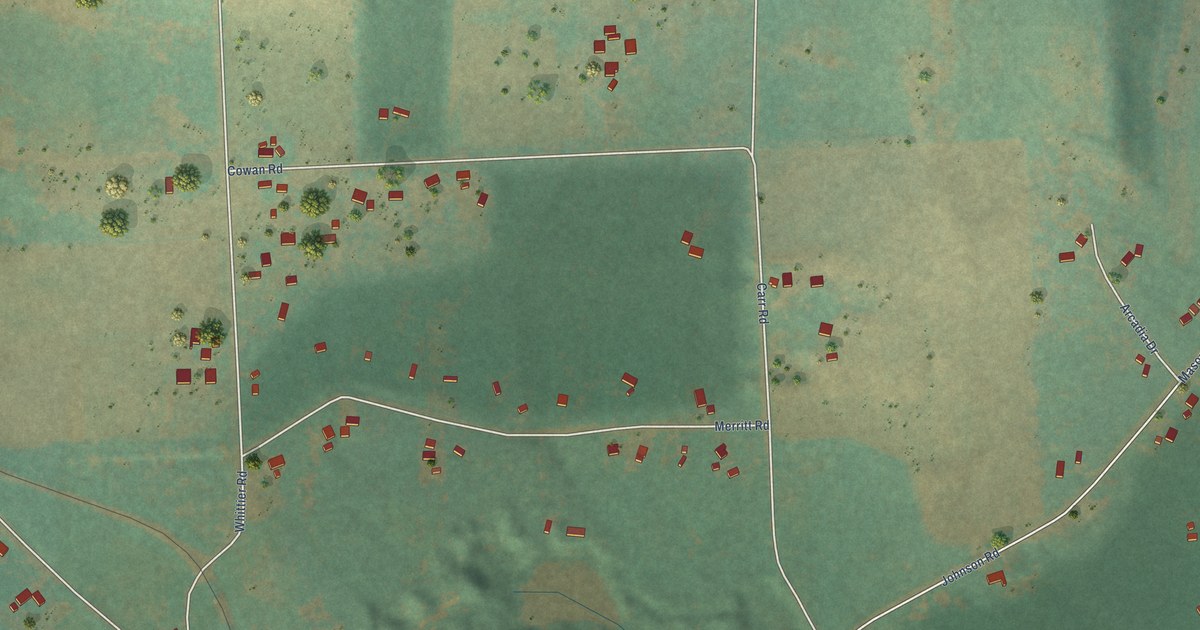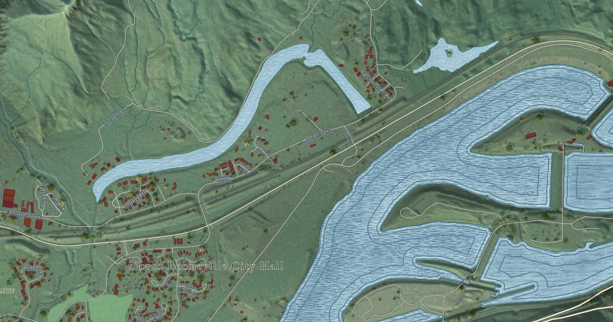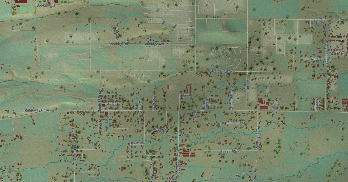
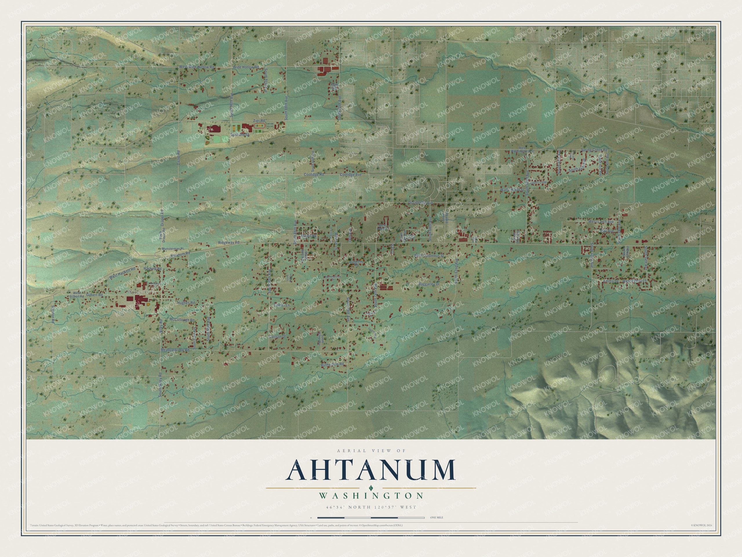
This beautifully detailed map of Ahtanum, Washington was created in 2026 using aerial imagery combined with modern topographical, census, street and landmark data. It's a modern aerial view of Ahtanum in Yakima County, Washington, that combines modern data with a vintage aesthetic. The roads feature printed names, and if you look closely you can find your exact house accurately shown in its correct location.
Explore an aerial view of Ahtanum, Washington
On this map you'll find Wiley City, South 90th Avenue, West Wide Hollow Road, South 74th Avenue, Coolidge Avenue, Ahtanum Road, Meadowbrook Road, South Wiley Road, Wiley Road, Zier Road, Wide Hollow Road, South 79th Avenue, and more. Each red shape is a building, so zoom in on the preview and look for yours.
Here is a piece of Ahtanum history. Wiley City was founded in 1910 on part of James J. Wiley's land and named in honor of the Wiley family. His parents, Hugh and Mary Ann Wiley, came by team in 1868 and took up a homestead on the Ahtanum, among the first few white families to settle in the valley. Hugh Wiley helped build the first schoolhouse and paid two thirds of the teacher's salary so the settlers' children could get an education. That's from the History of the Yakima Valley.
Ahtanum is a community in Yakima County. The Census Bureau counted 4,046 people here in 2020.
Take a closer look at the Ahtanum map
Names on this map
These names are printed on this map.
Places: Wiley City.
Streets and roads: South 90th Avenue, West Wide Hollow Road, South 74th Avenue, Coolidge Avenue, Ahtanum Road, Meadowbrook Road, South Wiley Road, Wiley Road, Zier Road, Wide Hollow Road, South 79th Avenue, Occidental Avenue.
More street names, A to Z
72nd Street, 78th Avenue, Aspen Road, Bachelorview Drive, Baggarley Drive, Canter Lane, Carlson Drive, Coolidge Road, Dazet Road, Draper Road, Emma Lane, Gilbert Road, Hackett Road, Hughes Road, Lyons Loop, McCullough Road, Munsterman Place, Oak Avenue, Plath Avenue, Ridgeway Road, Rockstrom Road, Rutherford Road, Ryegrass Road, Skyview Court, South 34th Avenue, South 37th Avenue, South 38th Avenue, South 40th Avenue, South 41st Avenue, South 42nd Avenue, South 44th Avenue, South 45th Avenue, South 47th Avenue, South 52nd Avenue, South 53rd Avenue, South 59th, South 62nd Avenue, South 64th Avenue, South 66th Avenue, South 70th Avenue, South 80th Avenue, South 81st Avenue, South 82nd Avenue, South 84th Avenue, South 85th Avenue, South 86th Avenue, South 87th Avenue, South 88th Avenue, South 91st Avenue, South 96th Avenue, South 99th Avenue, South 101st Avenue, Southcreek Drive, South Draper Road, Spokane Street, Spring Creek Road, Stanton Road, Walla Walla Street, West Acre Court, West Columbus Street, West Emma Lane, West Gilbert Road, West Hackett Road, West Larch Avenue, West Oak Avenue, West Washington Avenue, Whitish Lane.
See it on a wall
The Ahtanum map as a framed print. Swipe for more.


Created by KNOWOL in 2026. The buildings are small red shapes, the roads carry their printed names, and shaded relief shows the shape of the land. The title panel reads "AERIAL VIEW OF AHTANUM, WASHINGTON" with 46°34' NORTH 120°37' WEST.
It suits a den, a classroom or a front hall, and it makes a gift for anyone with Ahtanum roots. Open the preview and find the block you know. See sizes and frames for the Ahtanum map.