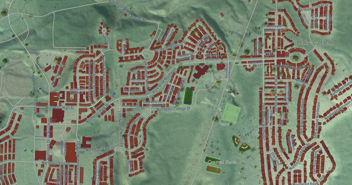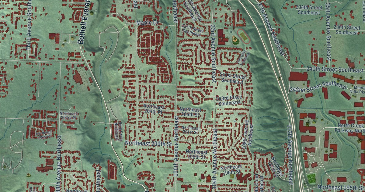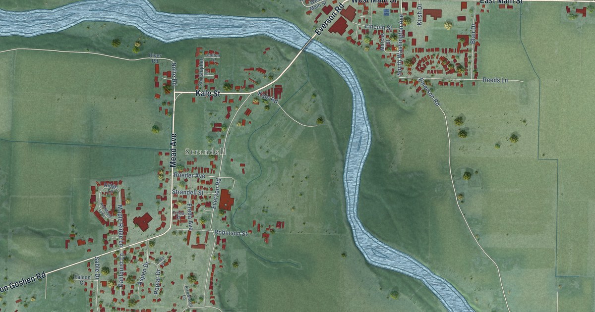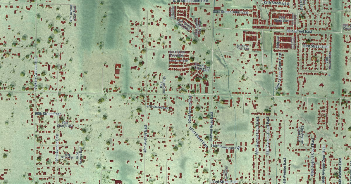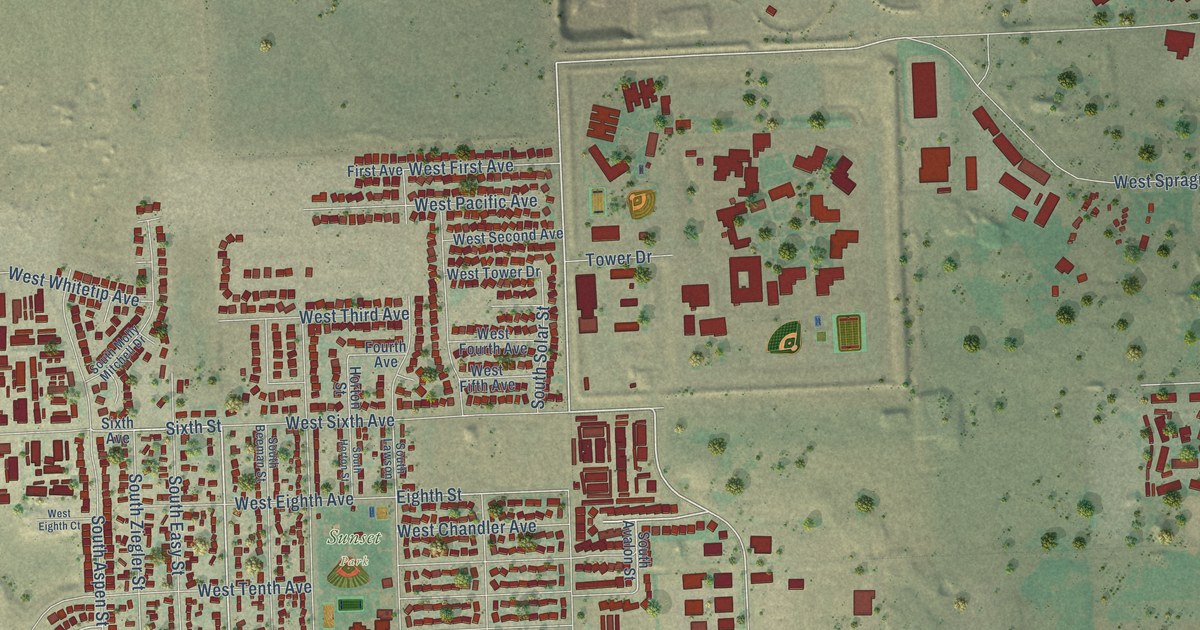
This beautifully detailed map of Airway Heights, Washington was created in 2026 using aerial imagery combined with modern topographical, census, street and landmark data. It’s a one-of-a-kind view of Airway Heights that combines accurate data with a vintage aesthetic. The map shows every building in its true location, many of the roads carry their names, and the shaded topographic relief shows the shape of the land.
Explore an aerial view of Airway Heights, Washington
On the map you’ll find Airway Heights City Hall, Hazelwood, Qlispé Raceway Park, and Sunset Park, along with West Sunset Highway, West 21st Avenue, South Garfield Road, South Lundstrom Street, Sixth Street, West Chandler Avenue, South Russell Street, West 21th Avenue, and more. If you look closely you can even find your house accurately drawn in its correct location. Zoom in on the preview to look for yours.
Did you know this piece of Airway Heights, Washington history?
From the City of Airway Heights: "Airway Heights celebrated its 50-year history June 14, 2005 and has Carl M. and Flora K. Lundstrom to thank for early city-building. The Lundstroms were the first to plat the land, donate parcels for initial city building and worked towards incorporation in 1955."
Take a closer look at the Airway Heights map
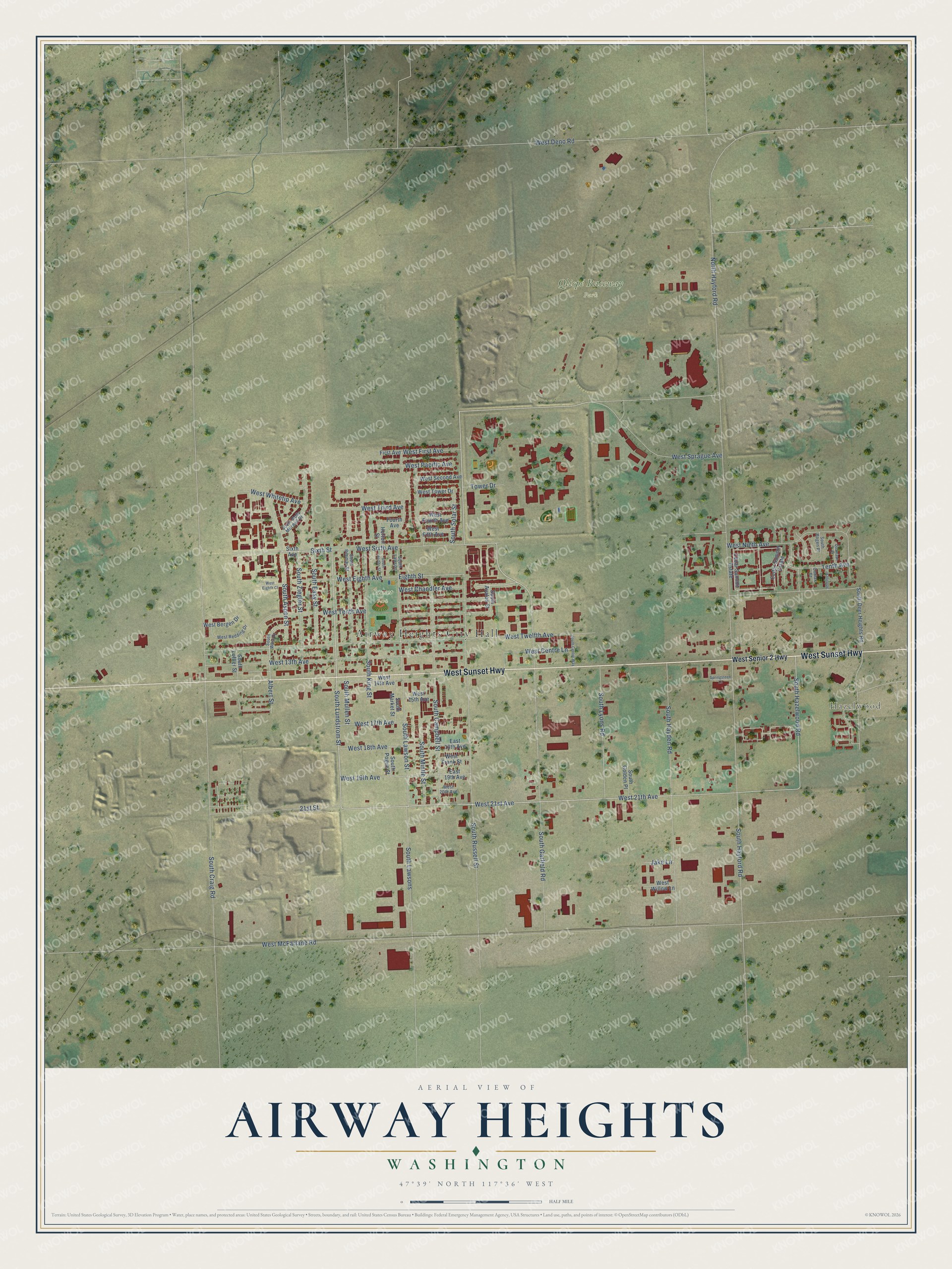
Street and place names on the Airway Heights, Washington map
These names are printed on the map of Airway Heights, Washington.
Places: Airway Heights City Hall, Hazelwood, Qlispé Raceway Park and Sunset Park.
Streets and roads: West Sunset Highway, West 21st Avenue, South Garfield Road, South Lundstrom Street, Sixth Street, West Chandler Avenue, South Russell Street, West 21th Avenue, West Sprague Avenue, Eighth Street, West Tenth Avenue, South Hazelwood Road.
More street names, A to Z
21st Street, Albert Street, Antelope, Cedar Summir Estate, Cedar Summit Estate, Comax Court, East 18th Avenue, East 19th Avenue, First Avenue, Fourth Avenue, Horton Street, Jake Lane, North Hayford Road, Quamash Court, Sixth Avenue, South Aspen Street, South Avalon Street, South Beeman Street, South Bogen Place, South Campbell Street, South Centre Way, South Craig Road, South Deer Heights Road, South Easy Street, South Golden Place, South Hayden Road, South Hayford Road, South Horton Street, South King Street, South Lawson, South Lawsons, South Lawson Street, South Loffler Street, South Lyons Road, South Market Street, South Mintle Street, South Molly Mitchell Drive, South Mullen Street, South Pogue Street, South Solar Street, South West Drive, South Ziegler Street, Springsteen Lane, Tenth Avenue, Tower Drive, West 13th Avenue, West 14th Avenue, West 15th Avenue, West 17th Avenue, West 18th Avenue, West 19th Avenue, West 20th Avenue, West Bergen Drive, West Centre Lane, West Deno Road, West Eighth Avenue, West Eighth Court, West Fifth Avenue, West First Avenue, West Fourth Avenue, West Frank Street, West McFarlane Road, West Ninth Avenue, West Pacific Avenue, West Redding Drive, West Second Avenue, West Senior 2 Highway, West Sixth Avenue, West Third Avenue, West Tower Drive, West Twelfth Avenue, West Whitetip Avenue, West Willow Lane.
See the Airway Heights, Washington map on a wall
The Airway Heights map as an 18 x 24 inch print in a black frame.

This beautifully detailed map of Airway Heights makes an attractive addition to your office, library, or den, and it can even be used to teach children the geography and history of the area. It also makes a great gift for anyone with Airway Heights roots. When you’re done exploring, click here to get your copy of the Airway Heights map.