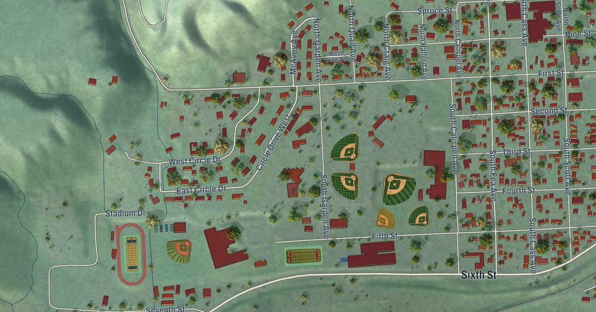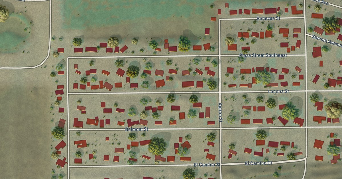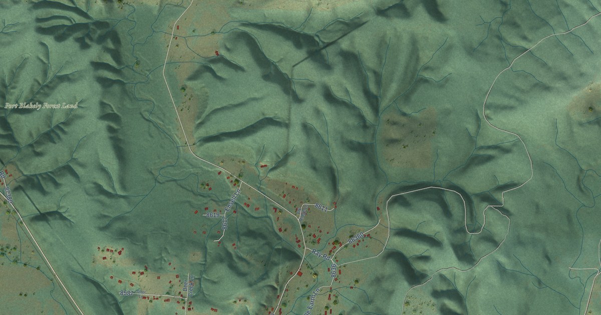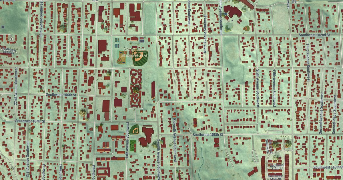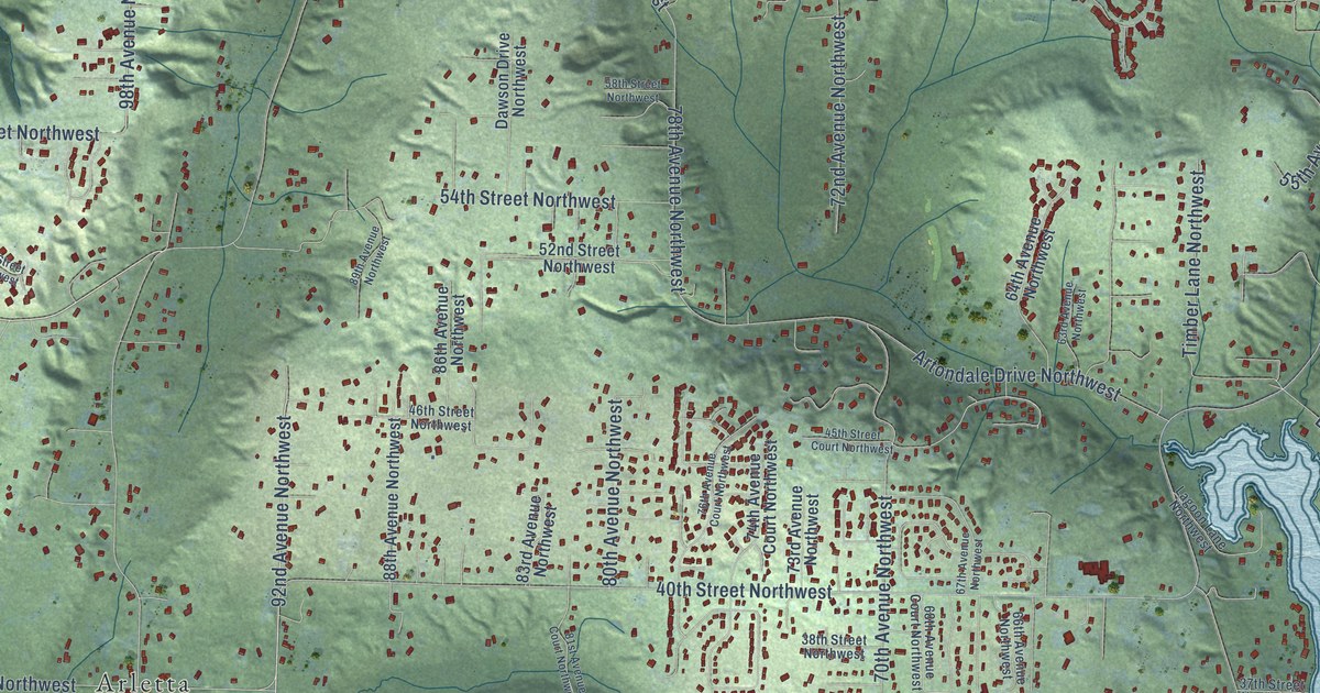
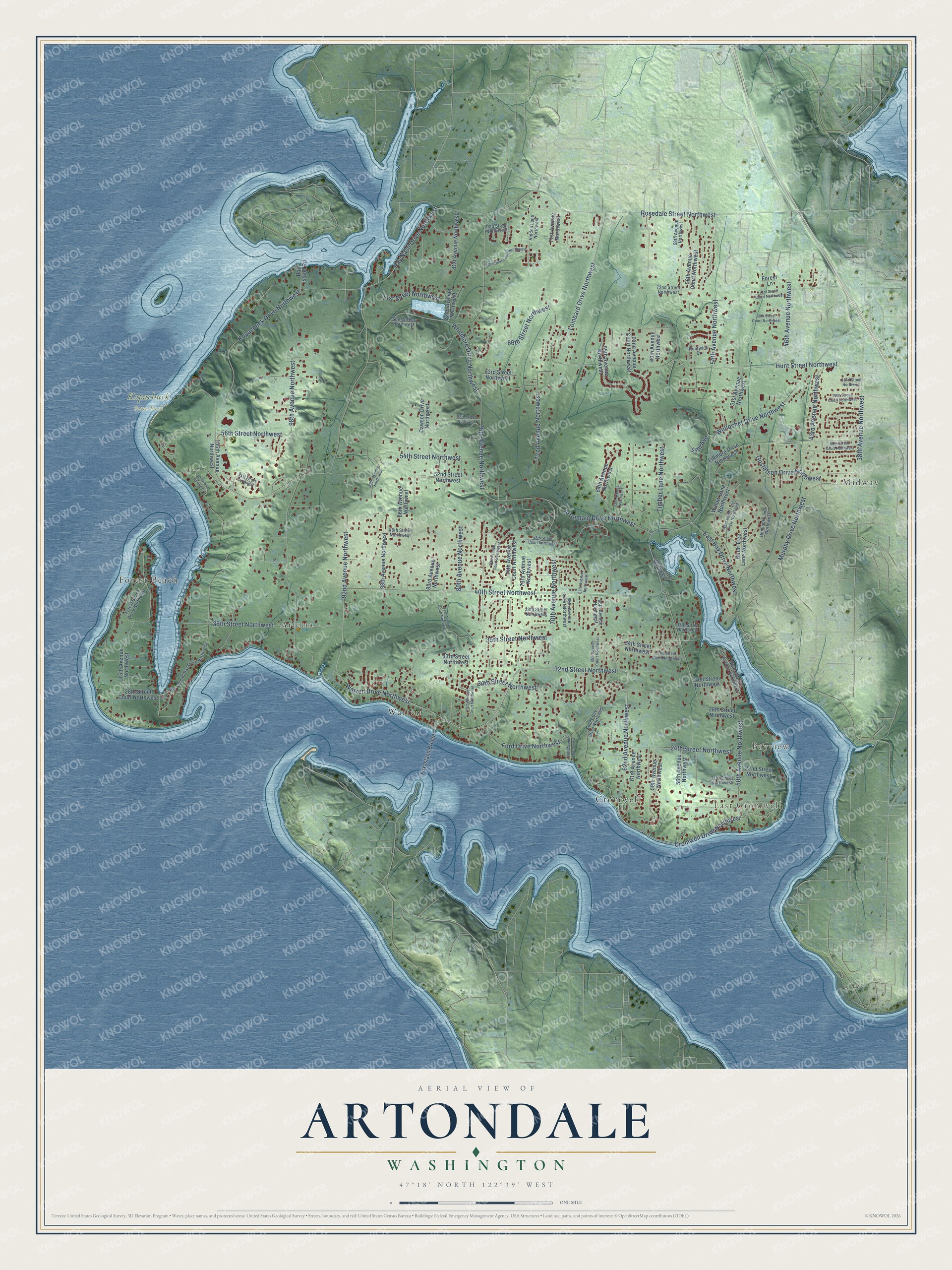
This beautifully detailed map of Artondale, Washington was created in 2026 using aerial imagery combined with modern topographical, census, street and landmark data. It's a modern aerial view of Artondale in Pierce County, Washington, that combines modern data with a vintage aesthetic. The roads feature printed names, and if you look closely you can find your exact house accurately shown in its correct location.
Explore an aerial view of Artondale, Washington
On this map you'll find East Cromwell, Bayview, Kopachuck State Park, Midway, Forest Beach, Warren, Cromwell, Arletta, Warren Drive Northwest, Artondale Drive Northwest, 62nd Avenue Northwest, Cromwell Drive Northwest, and more. Each red shape is a building, so zoom in on the preview and look for yours.
Artondale has a story worth telling. The old hall at the corner of Wollochet and Artondale drives started life in 1912 as the Methodist Episcopal Church, and in the late 1930s it passed to the Artondale Gospel Lighthouse. Gig Harbor Grange No. 445 bought it in 1956 as its first permanent home, and the neighboring Artondale Farm restored it as its farm store, which opened in 2021. That's from the news site Gig Harbor Now.
Artondale is a community in Pierce County. The Census Bureau counted 13,641 people here in 2020.
Take a closer look at the Artondale map
Names on this map
These names are printed on this map.
Places: East Cromwell, Bayview, Kopachuck State Park, Midway, Forest Beach, Warren, Cromwell and Arletta.
Streets and roads: Warren Drive Northwest, Artondale Drive Northwest, 62nd Avenue Northwest, Cromwell Drive Northwest, 32nd Street Northwest, 92nd Avenue Northwest, 98th Avenue Northwest, Ray Nash Drive Northwest, Wollochet Drive Northwest, 40th Street Northwest, Hunt Street Northwest, 56th Street Northwest.
More street names, A to Z
21st Street Northwest, 22nd Street Northwest, 24th Street Northwest, 28th Street Court Northwest, 28th Street Northwest, 30th Street Northwest, 31st Street Northwest, 33rd Street Court Northwest, 33rd Street Northwest, 34th Street Northwest, 35th Street Northwest, 36th Street Northwest, 37th Street Northwest, 38th Avenue Northwest, 38th Street Northwest, 43rd Avenue Northwest, 45th Street Court Northwest, 46th Avenue Northwest, 46th Street Northwest, 50th Avenue Northwest, 51st Avenue Northwest, 51st Street Northwest, 52nd Street Northwest, 54th Avenue Northwest, 54th Street Northwest, 55th Avenue, 55th Street Court Northwest, 56th Avenue Court Northwest, 56th Avenue Northwest, 58th Avenue Northwest, 58th Street Northwest, 59th Avenue Northwest, 60th Avenue Northwest, 60th Street Court Northwest, 61st Avenue Northwest, 62nd Avenue Court Northwest, 62nd Street Northwest, 63rd Avenue Northwest, 63rd Street Northwest, 64th Avenue Northwest, 65th Avenue Court Northwest, 65th Avenue Northwest, 66th Avenue Northwest, 66th Street Northwest, 67th Avenue Northwest, 68th Avenue Court Northwest, 68th Avenue Northwest, 68th Street Northwest, 69th Street Court Northwest, 70th Avenue Northwest, 71st Avenue Northwest, 71st Street Court Northwest, 71st Street Northwest, 72nd Avenue Northwest, 72nd Street Northwest, 73rd Avenue Northwest, 74th Avenue Court Northwest, 74th Street Court Northwest, 76th Avenue Court Northwest, 78th Avenue Court Northwest, 78th Avenue Northwest, 78th Street Northwest, 80th Avenue Northwest, 81st Avenue Court Northwest, 81st Avenue Northwest, 82nd Avenue Northwest, 83rd Avenue Northwest, 86th Avenue Northwest, 88th Avenue Northwest, 89th Avenue Northwest, 105th Avct Northwest, 106th Avenue Northwest, 115th Avenue Northwest, Birch Tree Lane Northwest, Dawson Drive Northwest, East Bay Drive Northwest, Fillmore Drive Northwest, Ford Drive Northwest, Forest Beach Drive Northwest, Forest Lane, Fox Island Bridge, Gustafson Drive Northwest, Hemlock Lane Northwest, Hidden Lane Northwest, Horsehead Bay Drive Northwest, Huntwick Drive, Kopachuck Drive Northwest, Lagoon Lane Northwest, Lombard Drive Northwest, Murphy Drive Northwest, Raft Island Road, Rosedale Street Northwest, Sunny Bay Drive Northwest, Timber Lane Northwest, West Maple Lane Circle Northwest, White Cloud Avenue Northwest, Whitmore Drive Northwest, Willow Lane Northwest.
See it on a wall
The Artondale map as a framed print. Swipe for more.


Created by KNOWOL in 2026. The buildings are small red shapes, the roads carry their printed names, and shaded relief shows the shape of the land. The title panel reads "AERIAL VIEW OF ARTONDALE, WASHINGTON" with 47°18' NORTH 122°39' WEST.
It looks right in a kitchen, an office or a den, and it's a gift for anyone who grew up in Artondale or moved away. Open the preview and find your street. See sizes and frames for the Artondale map.