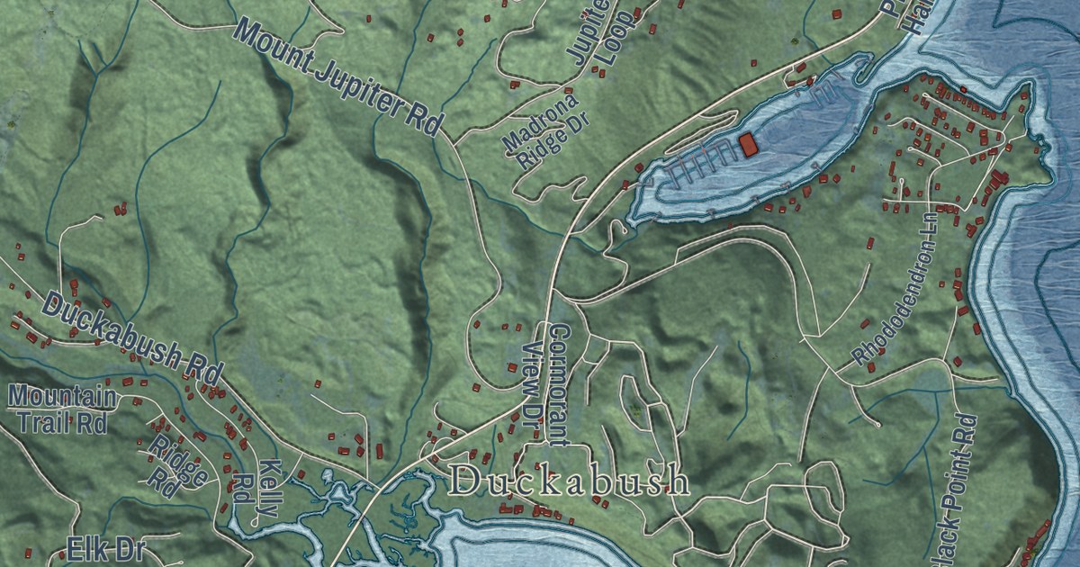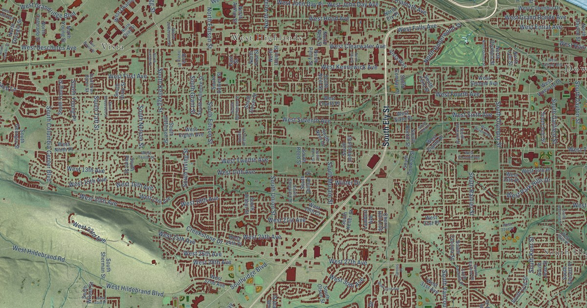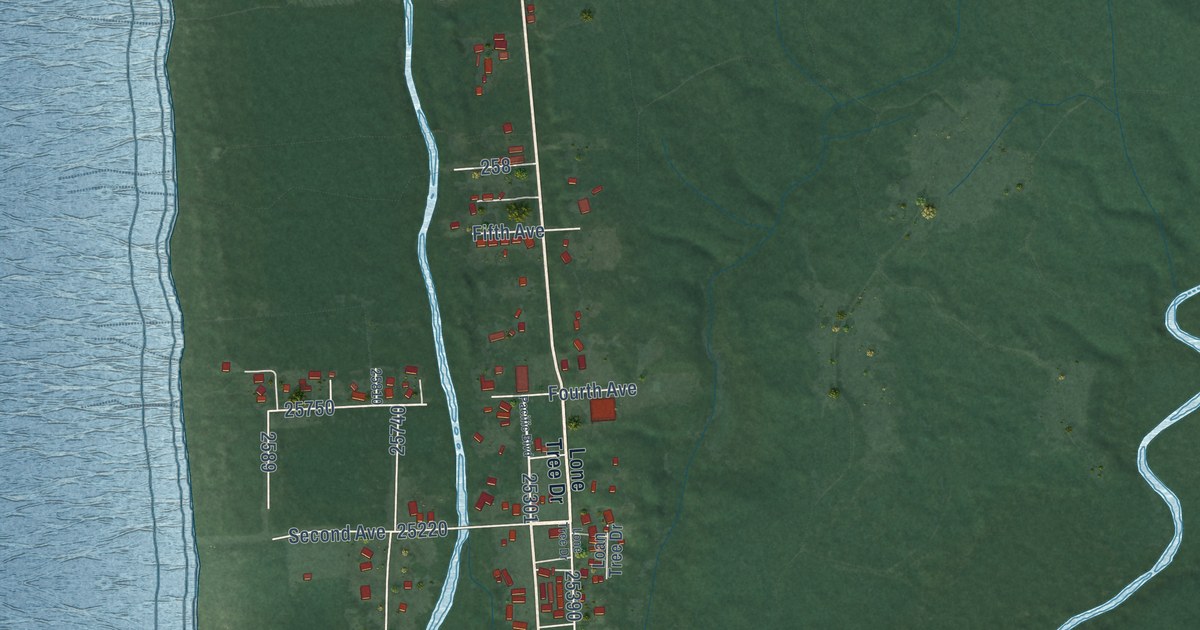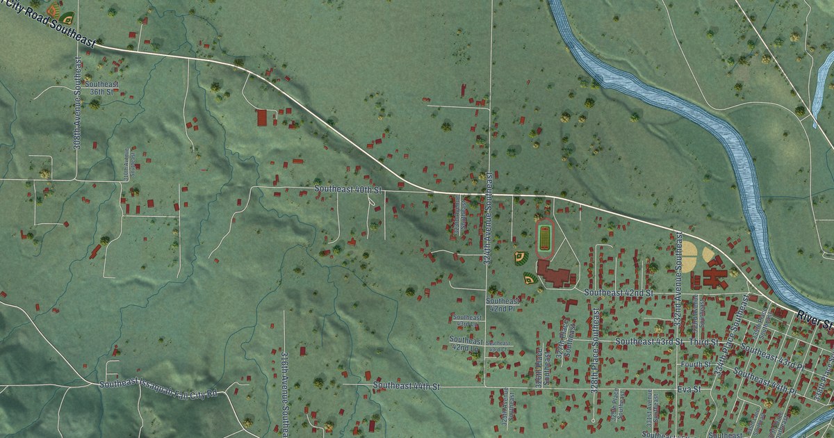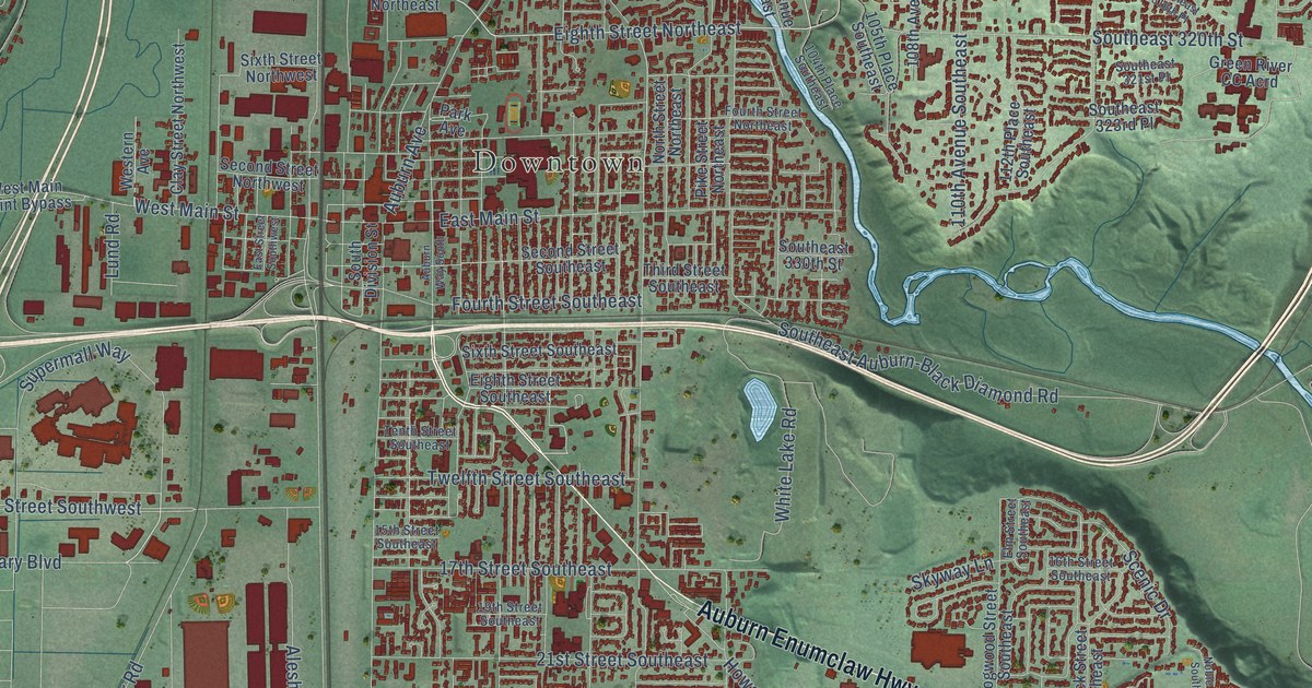
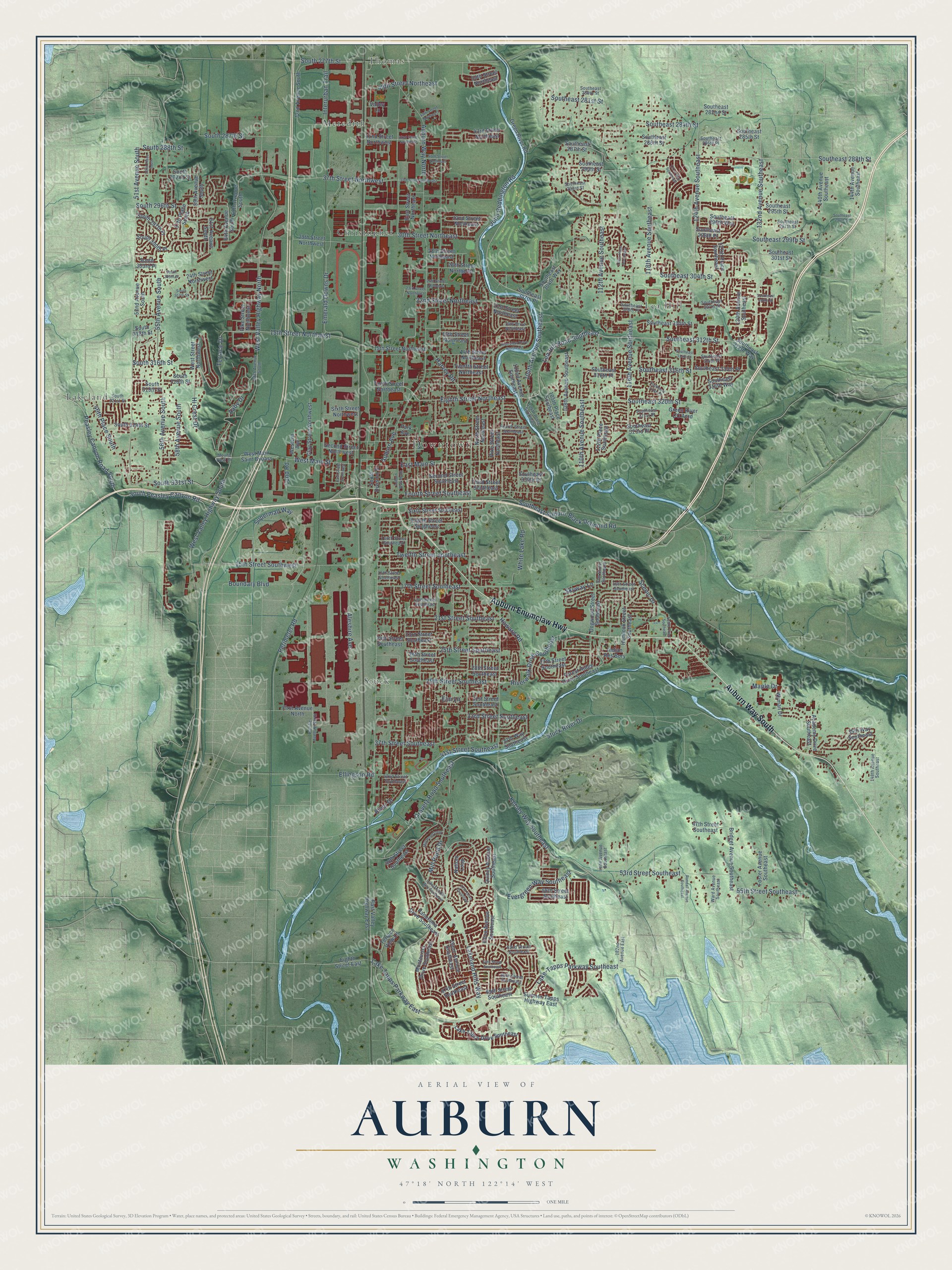
This beautifully detailed map of Auburn, Washington was created in 2026 using aerial imagery combined with modern topographical, census, street and landmark data. It’s a one-of-a-kind view of Auburn that combines accurate data with a vintage aesthetic. The map shows every building in its true location, many of the roads carry their names, and the shaded topographic relief shows the shape of the land.
Explore an aerial view of Auburn, Washington
On the map you’ll find Downtown, Thomas, Christopher, Lakeland, Lea Hill, Meredith, and Stuck, along with Auburn Way South, Auburn Enumclaw Highway, Southeast 304th Street, 132nd Avenue Southeast, Southeast 312th Street, and more. If you look closely you can even find your house accurately drawn in its correct location. Zoom in on the preview to look for yours.
Did you know this piece of Auburn, Washington history?
From HistoryLink.org: "The city of Auburn, located 20 miles south of Seattle, was home to some of the earliest non-Native settlers in King County."
Take a closer look at the Auburn map
Street and place names on the Auburn, Washington map
These names are printed on the map of Auburn, Washington.
Places: Downtown, Thomas, Christopher, Lakeland, Lea Hill, Meredith and Stuck.
Streets and roads: Auburn Way South, Auburn Enumclaw Highway, Southeast 304th Street, 132nd Avenue Southeast, Southeast 312th Street, Southeast 320th Street, Eighth Street Northeast, South 331st Street, Hi Crest Drive, 104th Avenue Southeast, Lea Hill Road Southeast, Aaby Drive.
More street names, A to Z
14th Street Northeast, 15th Street Northeast, 15th Street Northwest, 15th Street Southeast, 15th Street Southwest, 16th Street Northeast, 16th Street Southeast, 17th Street Southeast, 19th Drive Northeast, 19th Street Southeast, 21st Street Northeast, 21st Street Southeast, 22nd Street Northeast, 23rd Street Northeast, 23rd Street Southeast, 24th Street Northeast, 24th Street Northwest, 24th Street Southeast, 25th Street Southeast, 26th Street Northeast, 26th Street Southeast, 27th Street Southeast, 28th Street Northeast, 28th Street Southeast, 29th Street Northwest, 29th Street Southeast, 30th Street Northeast, 31st Street Southeast, 32nd Street Northeast, 33rd Street Southeast, 35th Way Southeast, 37th Street Northeast, 37th Street Northwest, 37th Street Southeast, 37th Way Southeast, 40th Street Northeast, 41st Street Southeast, 42nd Street Northeast, 42nd Street Northwest, 42nd Street Southeast, 43rd Street Northeast, 45th Street Northeast, 46th Place South, 47th Street Southeast, 49th Street Northeast, 50th Street Northeast, 50th Street Southeast, 51st Avenue South, 52nd Avenue South, 52nd Place South, 53rd Street Southeast, 55th Avenue South, 55th Street Southeast, 56th Avenue South, 56th Street Southeast, 57th Drive Southeast, 57th Place South, 58th Avenue South, 59th Avenue South, 61st Avenue South, 62nd Street Southeast, 64th Avenue South, 64th Street Southeast, 65th Avenue South, 66th Street Southeast, 67th Street Southeast, 68th Avenue South, 69th Street Southeast, 72nd Avenue South, 102nd Avenue Southeast, 104th Place Southeast, 105th Place Southeast, 108th Avenue Southeast, 110th Avenue Southeast, 112th Avenue Southeast, 112th Place Southeast, 114th Place Southeast, 116th Avenue Southeast, 118th Avenue Southeast, 121st Way Southeast, 124th Avenue Southeast, 127th Place Southeast, 130th Avenue Southeast, 140th Avenue Southeast, 144th Avenue Southeast, 148th Avenue Southeast, 182nd Avenue East, Academy Drive Southeast, Aleshire Avenue, Auburn Avenue, Auburn Way North, Boundary Boulevard, Bridget Avenue Southeast, Clay Street Northwest, Dogwood Street Southeast, East Main Street, East Street Northeast, East Street Southwest, East Valley Highway East, Eighth Street East, Eighth Street Southeast, Ellingson Road, Elm Lane, Elm Street Southeast, Emerald Downs Drive, Evergreen Way Southeast, First Avenue North, Forest Ridge Drive Southeast, Foster Avenue Southeast, Fourth Street Northeast, Fourth Street Southeast, Green River CC Acrd, Green River Road, Harvey Road, Hemlock Street Southeast, Howard Road, Indian Res Bory, Interurban Trail, Irene Avenue Southeast, Isaac Avenue Southeast, John Reddington Road, Kersey Way Southeast, Lake-Tapps Parkway Southeast, Lakeland Hills Way, Lakeland Hills Way Southeast, Lake Tapps Drive Southeast, Lake Tapps Parkway East, Lund Road, Maple Drive, Mill Pond Drive, Mill Pond Loop, Montevista Drive Southeast, Mount View Drive, Nathan Loop, Noble Court Southeast, North Street Northeast, Olive Avenue Southeast, Oravetz Road Southeast, Pacific Avenue North, Panorama Drive Southeast, Park Avenue, Peasley Canyon Road South, Perimeter Road, Pike Street Northeast, Pike Street Northwest, Quincy Avenue Southeast, Randall Avenue Southeast, River Drive, Riverview Drive Northeast, Riverwalk Drive Southeast, Scenic Drive, Second Street Northwest, Second Street Southeast, Sixth Street Northwest, Sixth Street Southeast, Skyway Lane, South 277th Street, South 287th Street, South 288th Street, South 292nd Street, South 296th Street, South 297th Place, South 300th Place, South 303rd Place, South 305th Street, South 307th Street, South 312th Street, South 316th Street, South 318th Street, South 319th Street, South 321st Street, South 324th Street, South Division Street, Southeast 280th Street, Southeast 281st Street, Southeast 282nd Street, Southeast 284th Street, Southeast 285th Street, Southeast 286th Place, Southeast 286th Street, Southeast 287th Street, Southeast 288th Street, Southeast 290th Street, Southeast 293rd Street, Southeast 295th Street, Southeast 296th Street, Southeast 296th Way, Southeast 297th Street, Southeast 298th Place, Southeast 299th Street, Southeast 301st Street, Southeast 304th Way, Southeast 306th Street, Southeast 307th Place, Southeast 307th Street, Southeast 308th Place, Southeast 310th Street, Southeast 312th Way, Southeast 314th Place, Southeast 314th Street, Southeast 315th Place, Southeast 316th Place, Southeast 316th Street, Southeast 318th Place, Southeast 318th Way, Southeast 321st Place, Southeast 323rd Place, Southeast 330th Street, Southeast Auburn-Black Diamond Road, South Peasley Canyon Road, Stuck River Drive, Sumner-Tapps Highway East, Supermall Way, Tenth Street Northeast, Tenth Street Southeast, Terrace Drive, Terrace View Lane, Third Street Southeast, Twelfth Street Northeast, Twelfth Street Southeast, Valley Lane, Ward Avenue Southeast, Western Avenue, West Main Saint Bypass, West Main Street, West Street Northwest, West Valley Highway North, West Valley Highway South, White Lake Road, Wyman Drive.
See the Auburn, Washington map on a wall
The Auburn map as an 18 x 24 inch print in a black frame.

This beautifully detailed map of Auburn makes an attractive addition to your office, library, or den, and it can even be used to teach children the geography and history of the area. It also makes a great gift for anyone who grew up in Auburn or moved away. When you’re done exploring, click here to get your copy of the Auburn map.