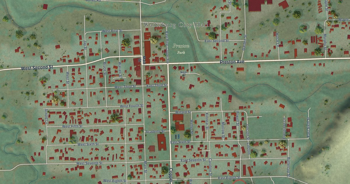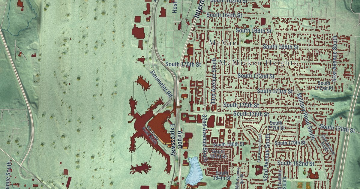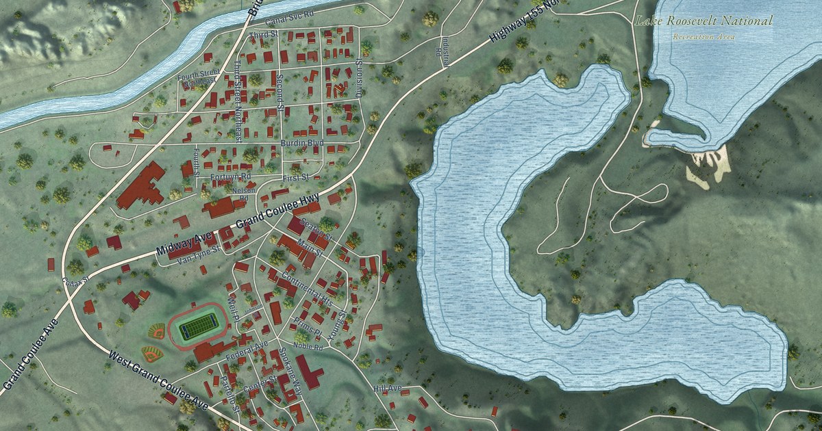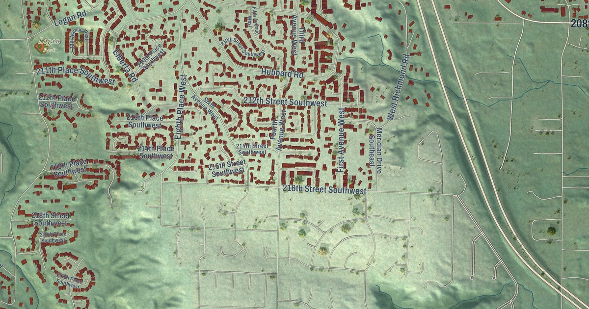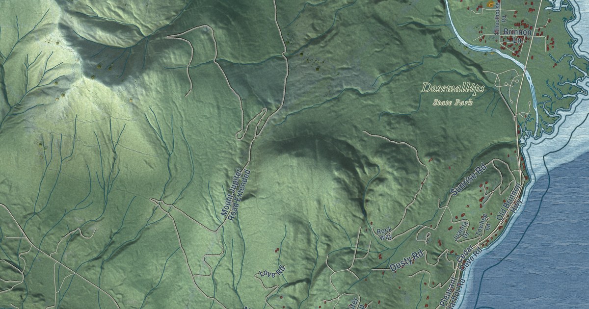
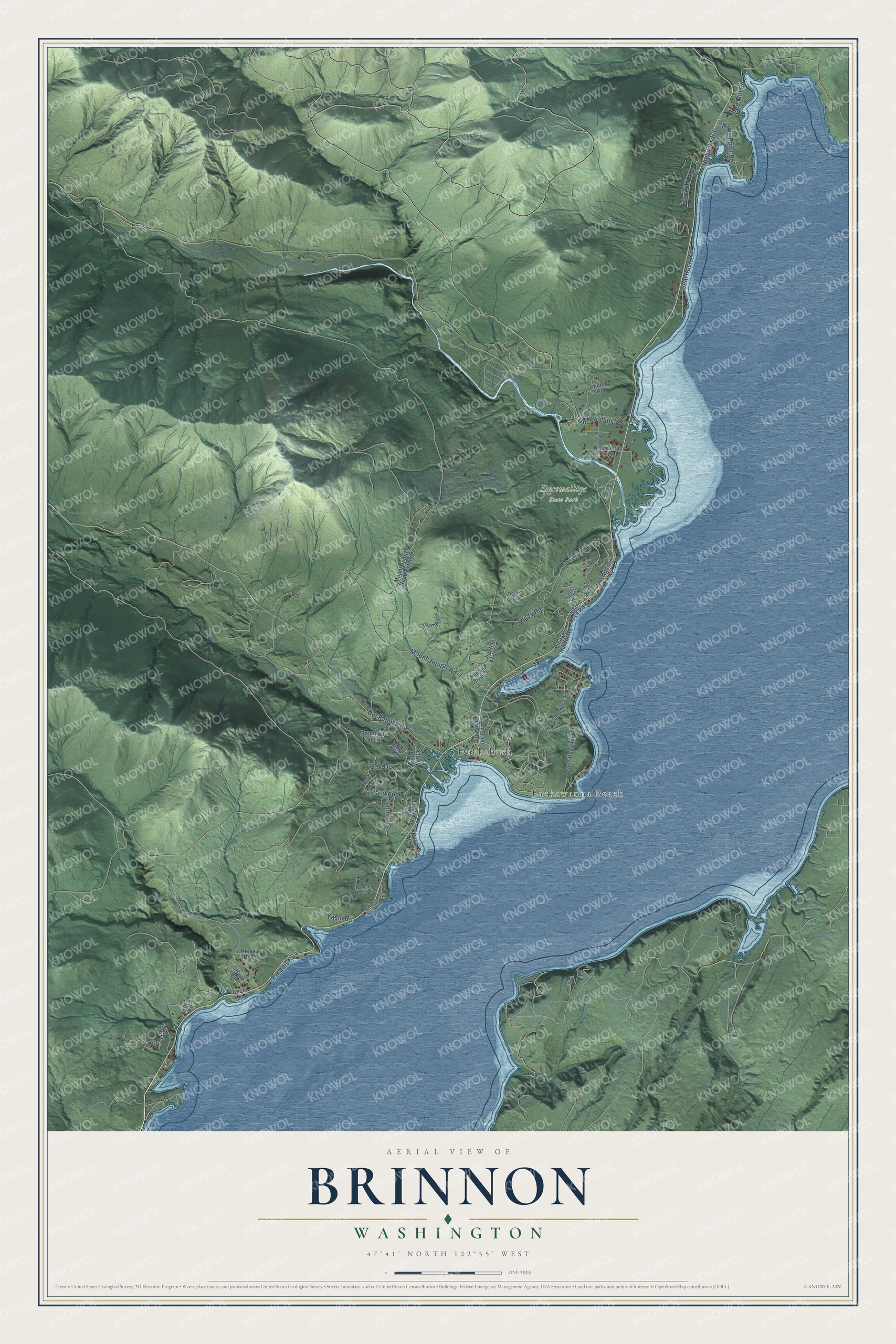
This beautifully detailed map of Brinnon, Washington was created in 2026 using aerial imagery combined with modern topographical, census, street and landmark data. It’s a one-of-a-kind view of Brinnon that combines accurate data with a vintage aesthetic. The map shows every building in its true location, many of the roads carry their names, and the shaded topographic relief shows the shape of the land.
Explore an aerial view of Brinnon, Washington
On the map you’ll find Lackawanna Beach, Duckabush, and Dosewallips State Park, along with Trailwood Drive, Sunrise Road, Mount Jupiter Road, Duckabush Road, Dusty Road, Dosewallips Road, Seal Rock Road, Wawa Point Road, Yashi Road, and more. If you look closely you can even find your house accurately drawn in its correct location. Zoom in on the preview to look for yours.
Did You Know?
The settlement on Hood Canal took the name Brinnon when its post office opened in 1891, after the government decided the name people suggested, Dosewallips, was too hard to spell. From the 1850s through the 1880s the area was also known as Quogaboos, or Ducaboos. At the 1880 territorial census only 58 people, white and Native American, lived in the area, and for years the town could truly be reached only by water. That's from the Peninsula Daily News.
Take a closer look at the Brinnon map
Names on this map
These names are printed on this map.
Places: Lackawanna Beach, Duckabush and Dosewallips State Park.
Streets and roads: Trailwood Drive, Sunrise Road, Mount Jupiter Road, Duckabush Road, Dusty Road, Dosewallips Road, Seal Rock Road, Wawa Point Road, Yashi Road, Hjelvicks Road, Salmon Street, Bee Mill Road.
More street names, A to Z
Bay View Avenue, Black Point Road, Brinnon Lane, Canal Lane, Cedar Cove Road, Church Road, Cirque Drive, Coco Lane, Cormorant View Drive, Creek Drive, Elk Drive, Forest Drive, Four Wheel Road, Juanita Drive, Jupiter Loop, Kelly Road, King Drive, Lee Way, Love Road, Madrona Ridge Drive, Mountain Trail Road, Mount Jupiter Road Extended, Old Brinnon Highway, Paradise Cv, Pleasant Harbor Road, Pollock Drive, Rhododendron Lane, Ridge Road, Rock Way, Schoolhouse Road, Tog Road, Towhee Lane, Weather North Heights.
See it on a wall
The Brinnon map as a framed print. Swipe for more.


This beautifully detailed map of Brinnon makes an attractive addition to your office, library, or den, and it can even be used to teach children the geography and history of the area. It also makes a great gift for someone who left Brinnon and still calls it home. When you’re done exploring, click here to get your copy of the Brinnon map.