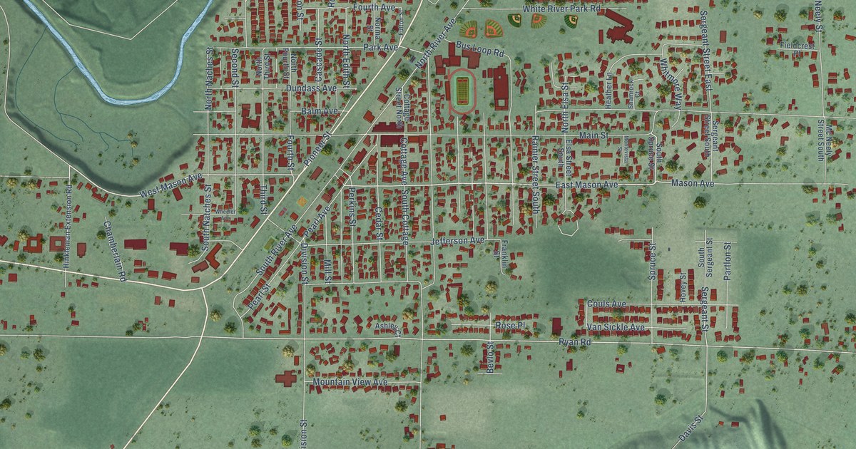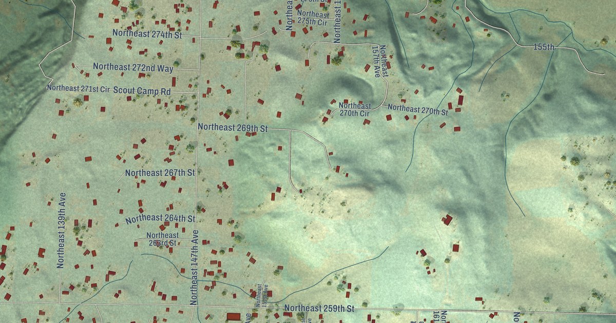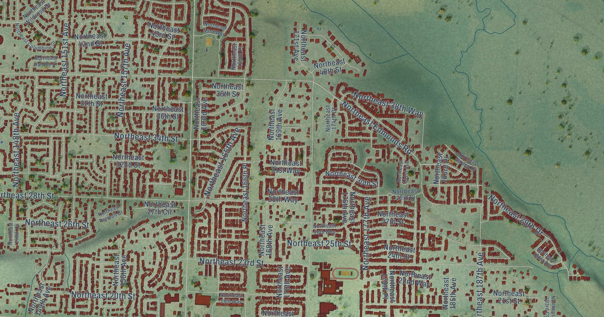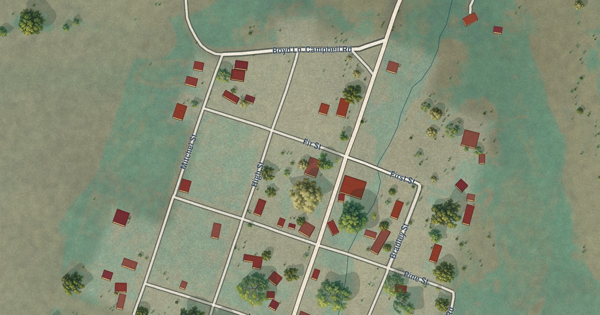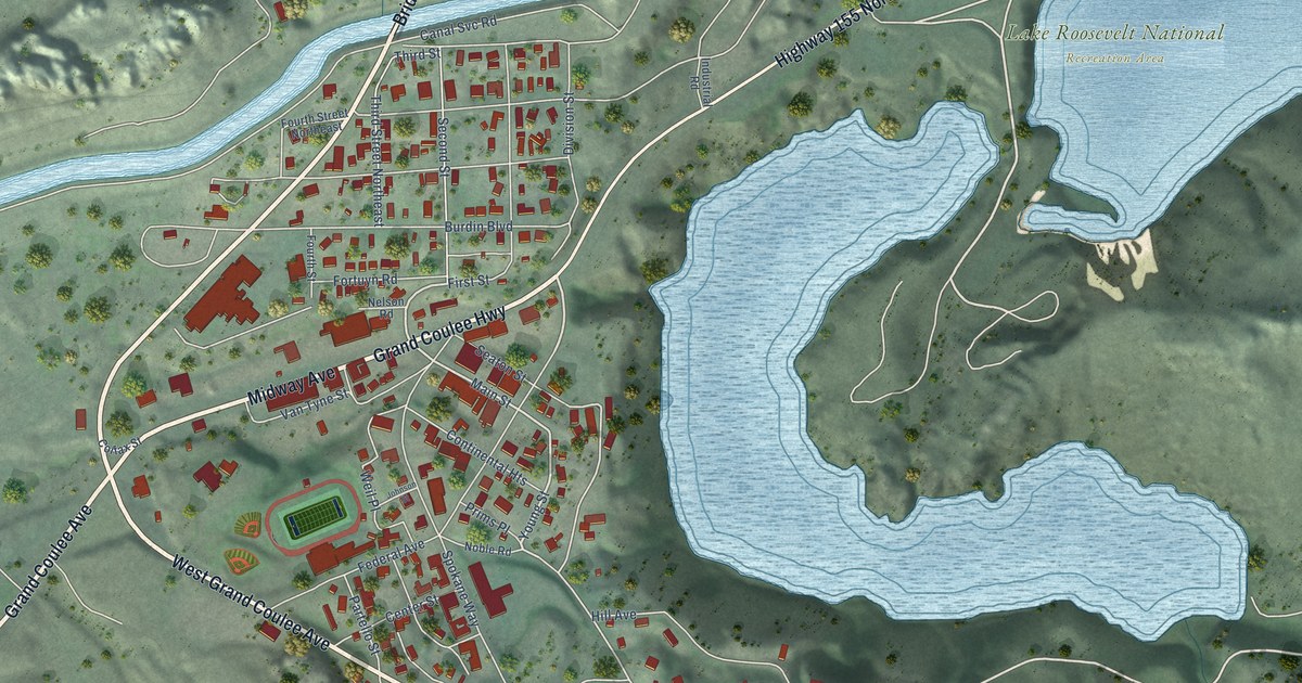
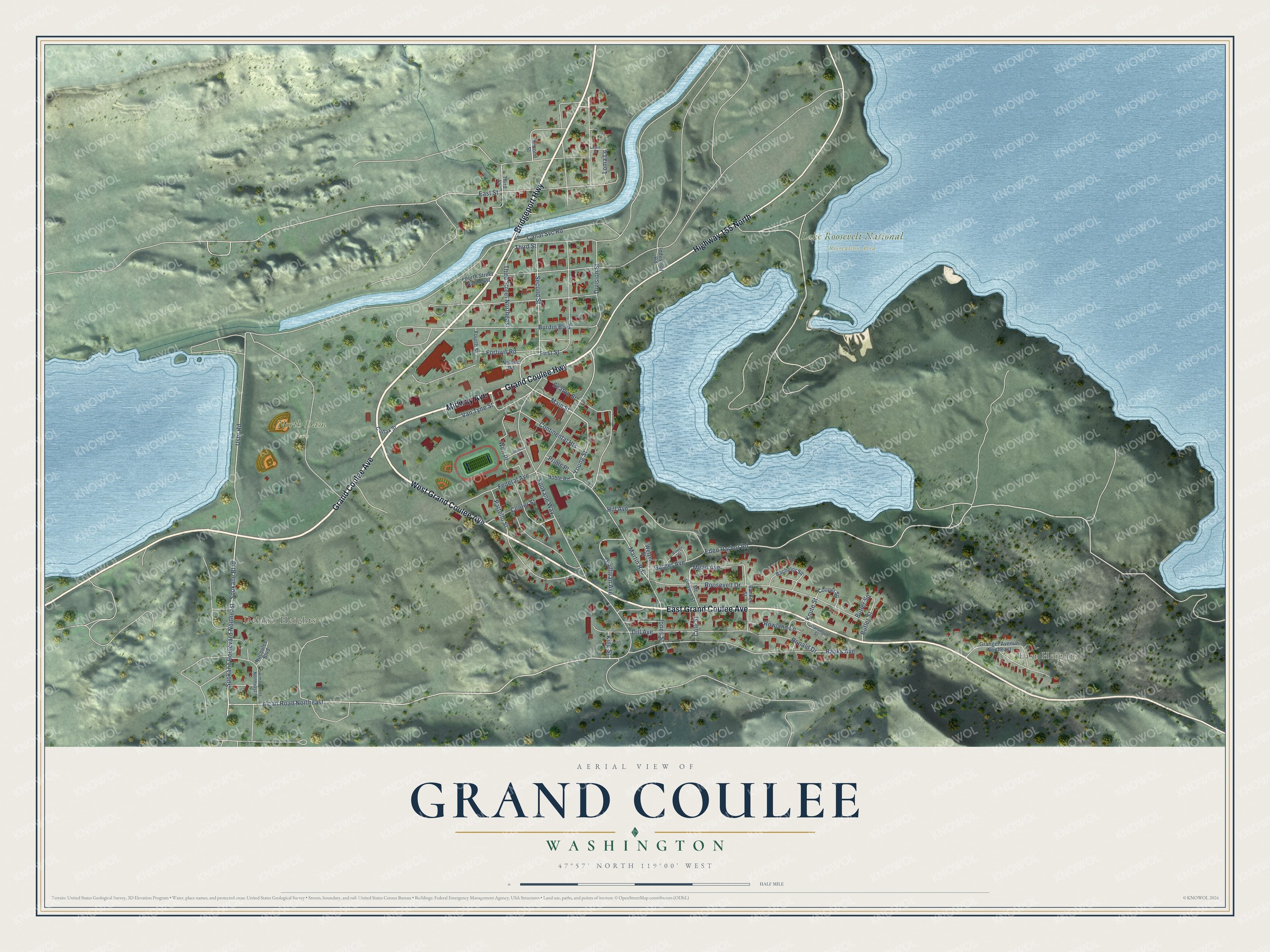
This beautifully detailed map of Grand Coulee, Washington was created in 2026 using aerial imagery combined with modern topographical, census, street and landmark data. It’s a one-of-a-kind view of Grand Coulee that combines accurate data with a vintage aesthetic. The map shows every building in its true location, many of the roads carry their names, and the shaded topographic relief shows the shape of the land.
Explore an aerial view of Grand Coulee, Washington
On the map you’ll find East Heights, Delano Heights, Lake Roosevelt National Recreation Area, and North Dam Park, along with Bridgeport Highway, West Grand Coulee Avenue, Grand Coulee Avenue, Midway Avenue, Grand Coulee Highway, Highway 155 North, East Grand Coulee Avenue, Alcan Road Northeast, and more. If you look closely you can even find your house accurately drawn in its correct location. Zoom in on the preview to look for yours.
Did you know this piece of Grand Coulee, Washington history?
The city officially incorporated in 1935 above its namesake dam and next to North Dam. It occupies the northern end of the canyon whose name it shares.
Take a closer look at the Grand Coulee map
Street and place names on the Grand Coulee, Washington map
These names are printed on the map of Grand Coulee, Washington.
Places: East Heights, Delano Heights, Lake Roosevelt National Recreation Area and North Dam Park.
Streets and roads: Bridgeport Highway, West Grand Coulee Avenue, Grand Coulee Avenue, Midway Avenue, Grand Coulee Highway, Highway 155 North, East Grand Coulee Avenue, Alcan Road Northeast, Young Street, Spokane Boulevard, Spokane Boulevard Northeast, Main Street.
More street names, A to Z
Bachelor Square, Banker Street, Banks Avenue, Bowen Street, Burdin Boulevard, Butler Square, Butler Street, Canal Svc Road, Center Street, Cole Street, Colfax Street, Continental Heights, Cooper Square, Dill Avenue, Division Street, East Street, Eden Harbor Road, Federal Avenue, First Street, Fortuyn Road, Fourth Street, Fourth Street Northeast, Garner Avenue, Granger Avenue Northeast, Hartman Street, Hill Avenue, Industrial Road, Johnson Street, Jones Street, King Street, Knute Street, Lewis Street, Loma Lane, Martin Road, Mc Govern Street, Mead Avenue, Nelson Road, Noble Road, Nucoulee Boulevard, Osullivan Avenue, Partello Street, Prims Place, Ronald Drive, Roosevelt Drive, Rowland Lane, Seaton Street, Second Street, Spokane Way, Third Street, Third Street Northeast, Usbr Road, Van Tyne Street, Weil Place, Wetzel Street, Yakima Street Northeast.
See the Grand Coulee, Washington map on a wall
The Grand Coulee map as an 18 x 24 inch print in a black frame.

This beautifully detailed map of Grand Coulee makes an attractive addition to your office, library, or den, and it can even be used to teach children the geography and history of the area. It also makes a great gift for anyone who grew up in Grand Coulee or moved away. When you’re done exploring, click here to get your copy of the Grand Coulee map.