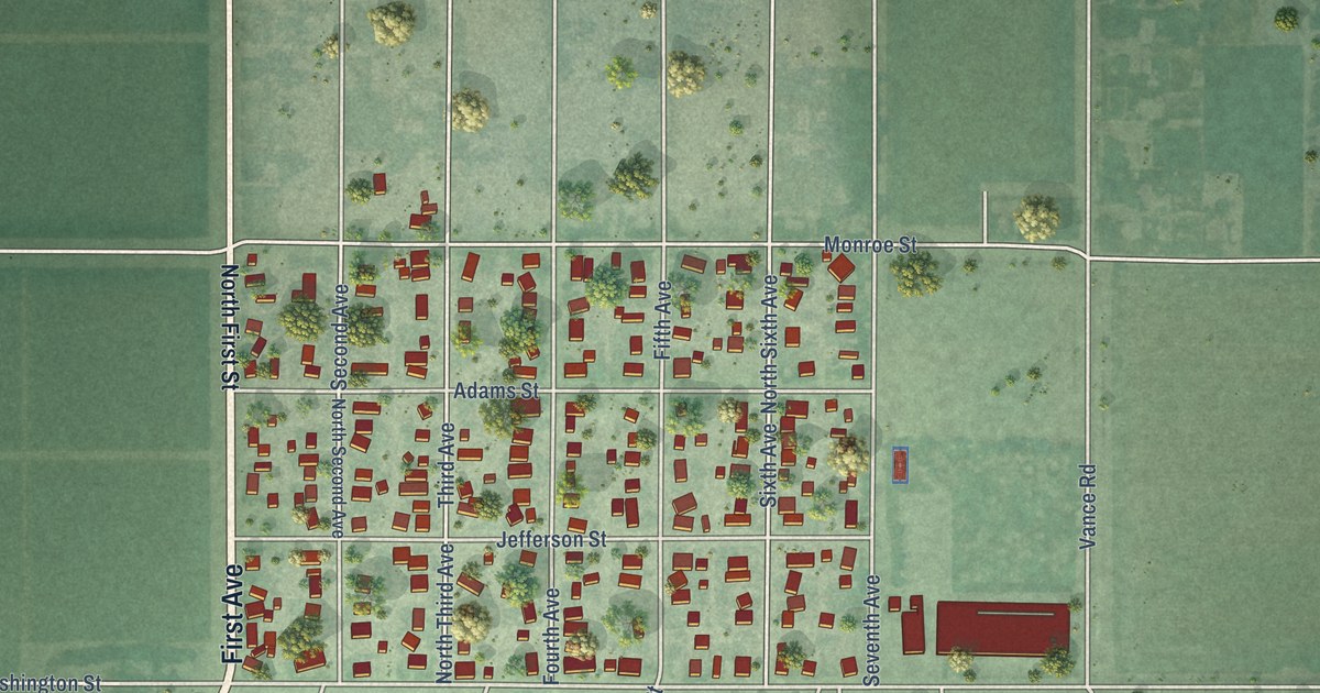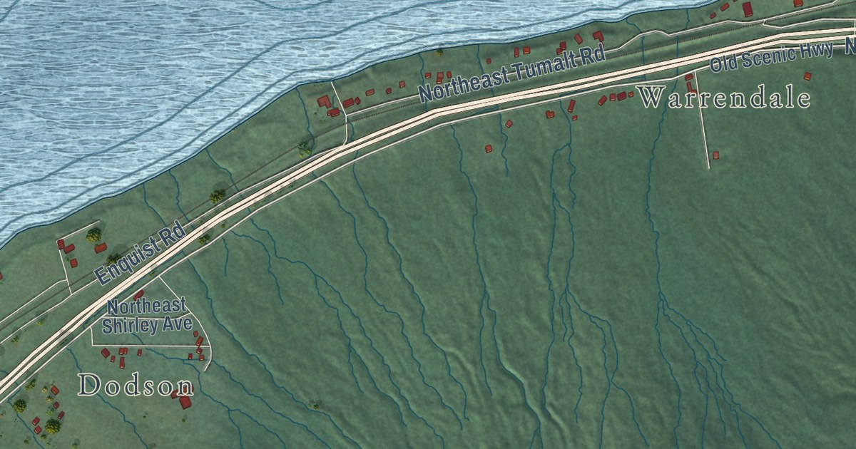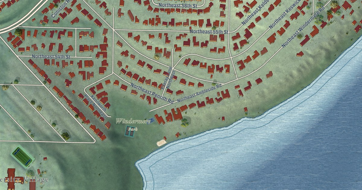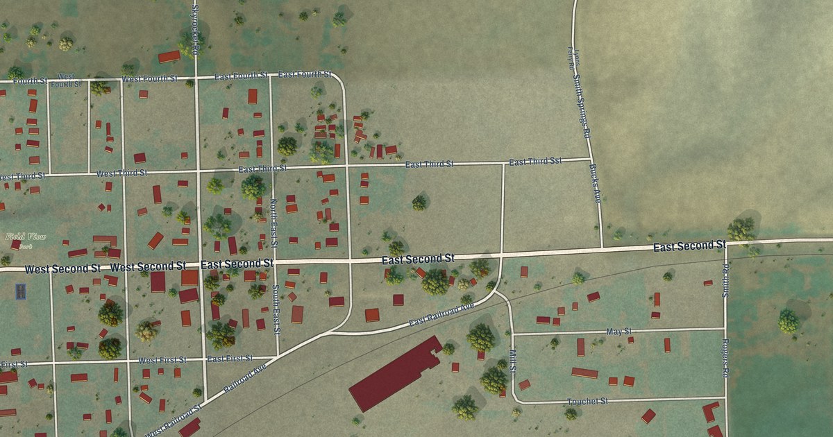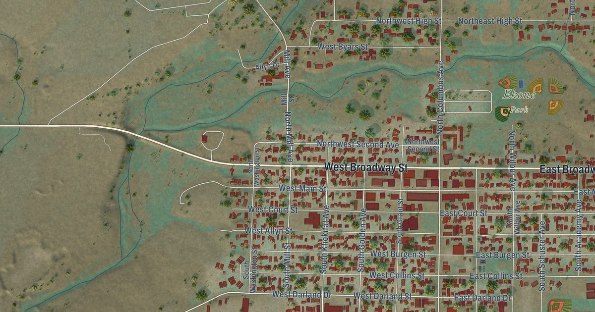
This beautifully detailed map of Goldendale, Washington was created in 2026 using aerial imagery combined with modern topographical, census, street and landmark data. It’s a one-of-a-kind view of Goldendale that combines accurate data with a vintage aesthetic. The map shows every building in its true location, many of the roads carry their names, and the shaded topographic relief shows the shape of the land.
Explore an aerial view of Goldendale, Washington
On the map you’ll find Ekone Park, Mountain View Cemetery, Observatory Hill State Park, and Old 97 South, along with West Broadway Street, Highway 97, East Broadway Street, South Columbus Avenue, Horseshoe Bend Road, West Main Street, Glover Street, Mill Avenue, and more. If you look closely you can even find your house accurately drawn in its correct location. Zoom in on the preview to look for yours.
Did you know this about Goldendale, Washington?
From HistoryLink.org: "The first rails connected Goldendale with a dock at Lyle, on the Columbia River southwest of Goldendale, where goods could be loaded onto barges and shipped to Portland and beyond."
Take a closer look at the Goldendale map
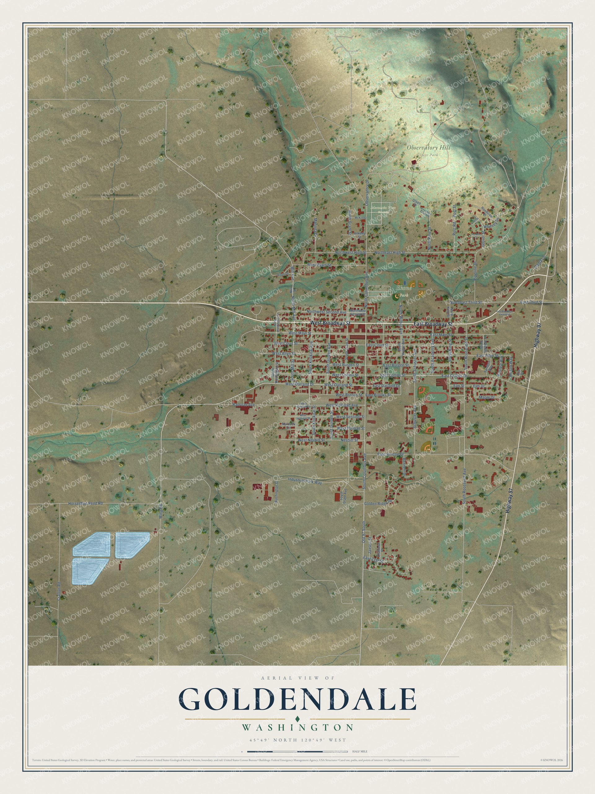
Street and place names on the Goldendale, Washington map
These names are printed on the map of Goldendale, Washington.
Places: Ekone Park, Mountain View Cemetery and Observatory Hill State Park.
Streets and roads: West Broadway Street, Highway 97, East Broadway Street, South Columbus Avenue, Old 97 South, Horseshoe Bend Road, West Main Street, Glover Street, Mill Avenue, North Mill Avenue, West Darland Drive, West Darland Street.
More street names, A to Z
Allison Way, Allyn Drive, Ankeny Street, Bennett Drive, Brashear Way, Chatfield Place, Crafton Road, East 21st Street, East Allyn Street, East Broadway Extended, East Brooks Street, East Burgen Street, East Collins Drive, East Collins Street, East Court Street, East Darland Drive, East Main Street, East Simcoe Drive, East Third Street, Elm Drive, Elm Street, Franklin Court, Golden Ridge Drive, Hoodview Place, Industrial Park Way, Jaxson Street, Llama Lane, Malinda Drive, Maple Drive, McKinley, Mill Street, Murdock Circle, Nesbitt Street, North Columbus Avenue, Northeast High Street, Northeast Third Street, North Grant Street, North King Street, North Pine Street, North Washington Street, Northwest High Street, Northwest Second Avenue, Northwest Second Street, North Wilbur Avenue, Observatory Drive, Olsen Drive, Pine Street Extended, Pipeline Drive, Post Road, Post Street, Railroad Avenue, Roe Drive, Sanders Way, Schuster Avenue, South Academy Avenue, South Garfield Street, South Golden Avenue, South Golden Street, South Grant Avenue, South Grant Street, South King Street, South Klickitat Avenue, South Klickitat Street, South Mill Street, South Roosevelt Avenue, South Roosevelt Street, South Schuster Avenue, South Washington Street, South Wilbur Avenue, Washington Street, West Allyn Street, West Brooks Street, West Burgen Street, West Byars Street, West Collins Street, West Court Street, West Nesbitt Street, West Putman Street, West Railroad Avenue, West Railroad Street, West Sentinal Street, West Sentinel Street, Whitney Court, Whitney Drive, Wing Road.
See the Goldendale, Washington map on a wall
The Goldendale map as an 18 x 24 inch print in a black frame.

This beautifully detailed map of Goldendale makes an attractive addition to your office, library, or den, and it can even be used to teach children the geography and history of the area. It also makes a great gift for someone who left Goldendale and still calls it home. When you’re done exploring, click here to get your copy of the Goldendale map.