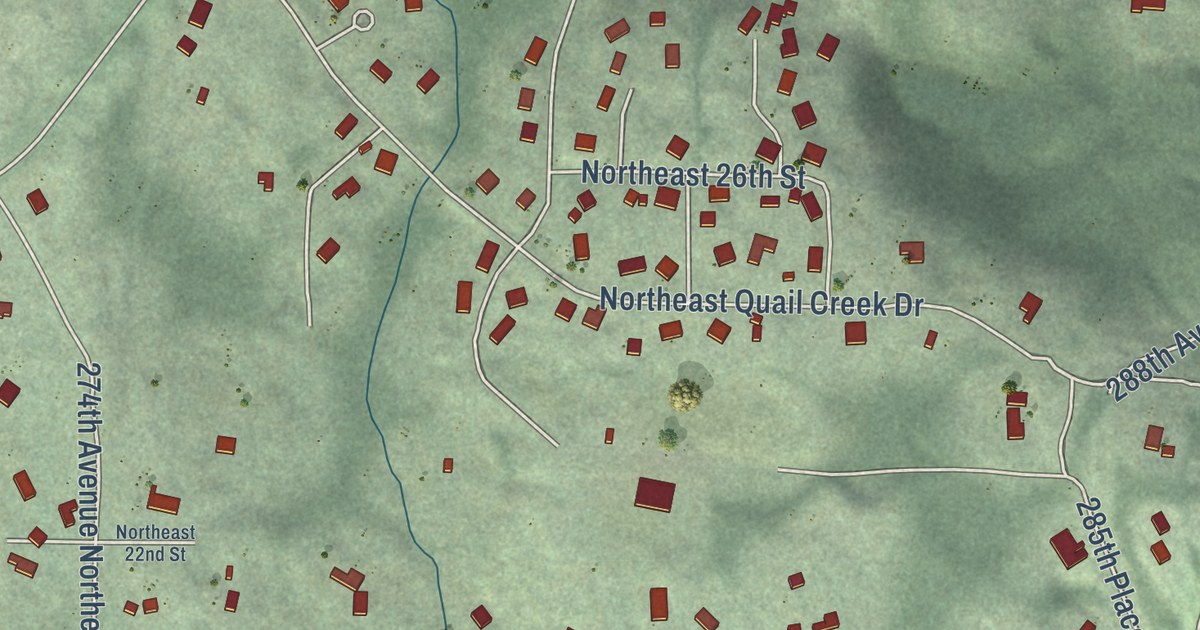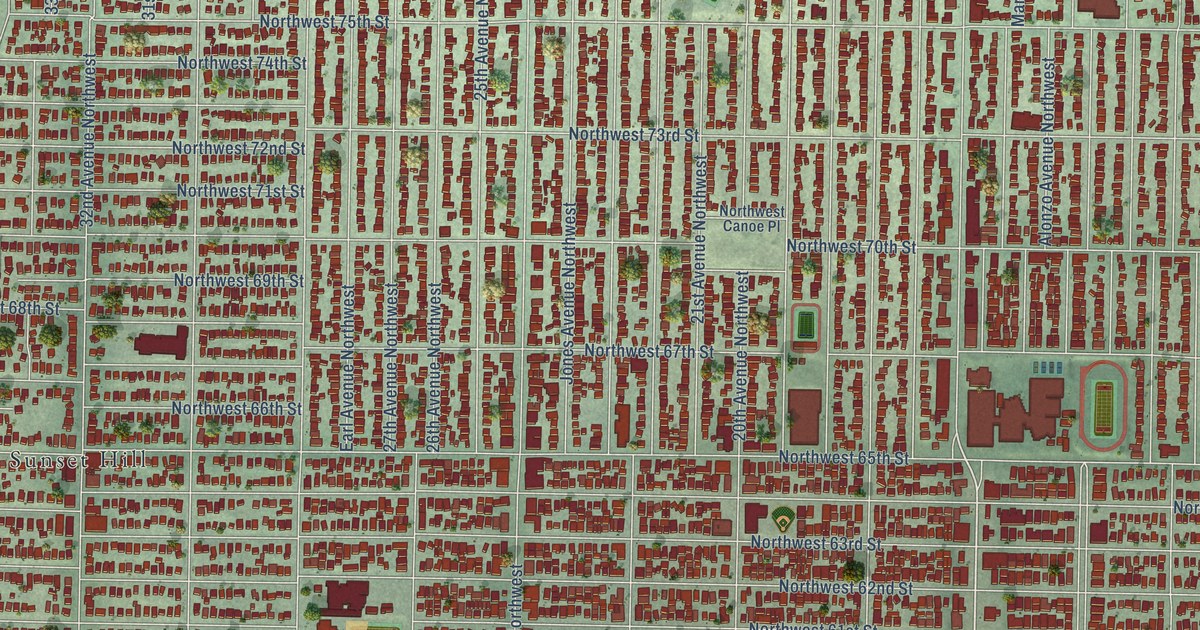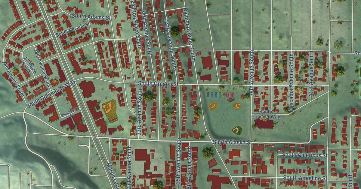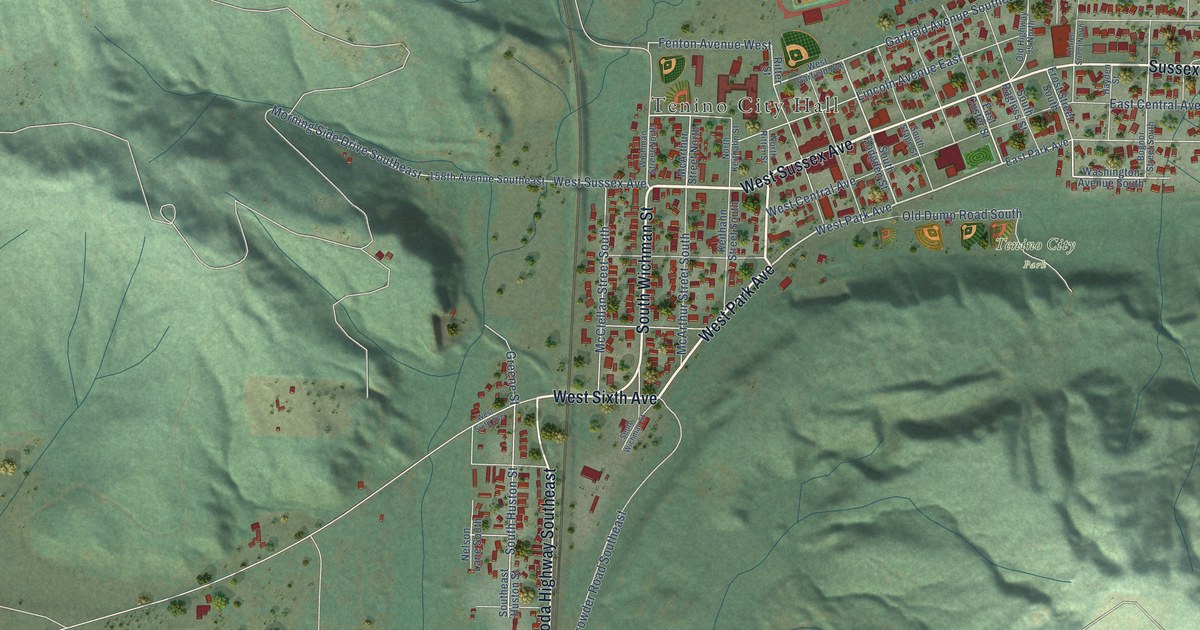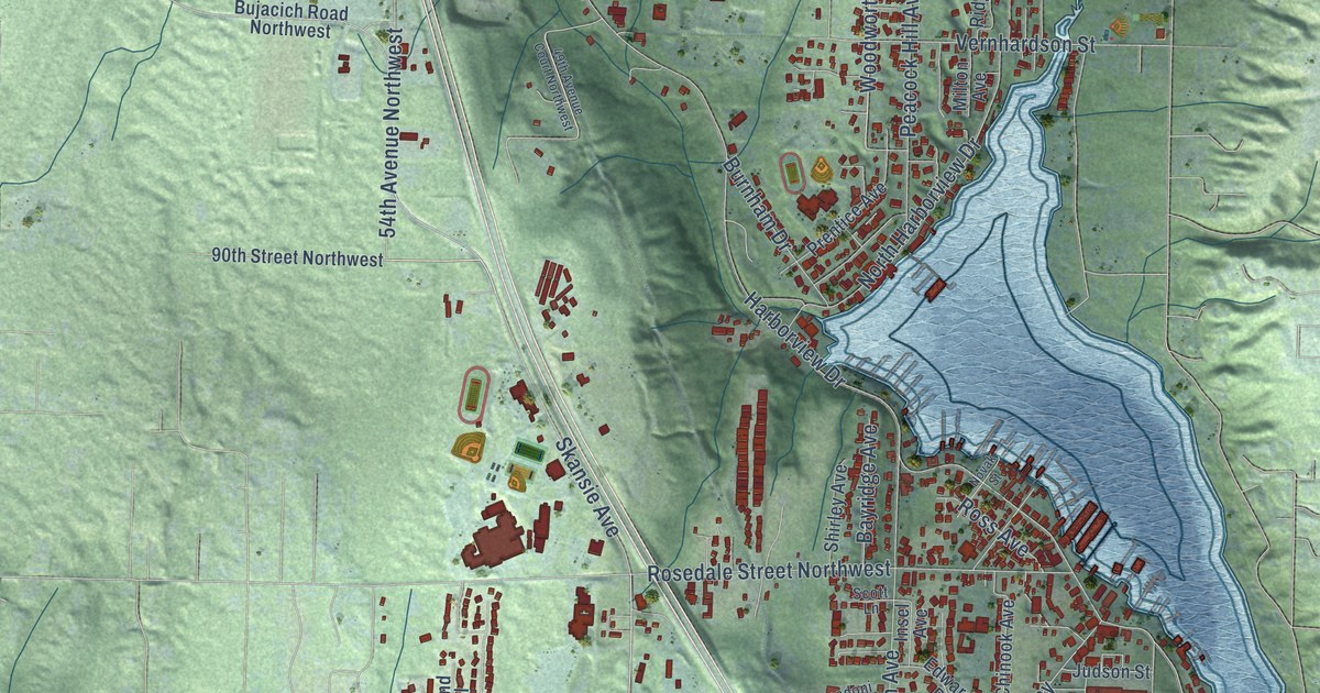
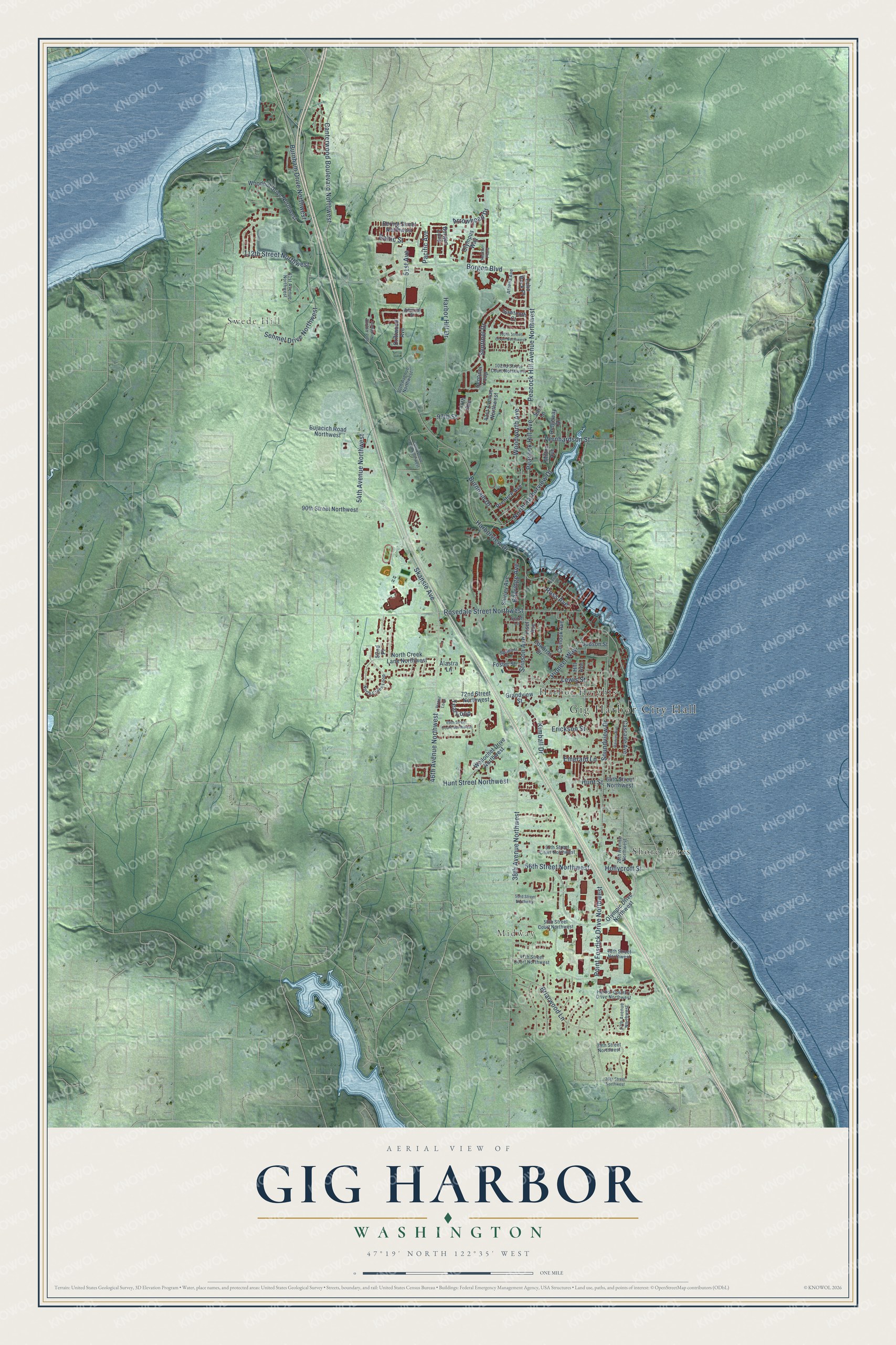
This beautifully detailed map of Gig Harbor, Washington was created in 2026 using aerial imagery combined with modern topographical, census, street and landmark data. It’s a one-of-a-kind view of Gig Harbor that combines accurate data with a vintage aesthetic. The map shows every building in its true location, many of the roads carry their names, and the shaded topographic relief shows the shape of the land.
Explore an aerial view of Gig Harbor, Washington
On the map you’ll find Gig Harbor City Hall, Midway, Swede Hill, Harbor Heights, and Shore Acres, along with Woodworth Avenue, Arrowhead Drive, Baltic Street, Hunt Street, Burnham Drive Northwest, 38th Avenue Northwest, Harborview Drive, and more. If you look closely you can even find your house accurately drawn in its correct location. Zoom in on the preview to look for yours.
Did you know this piece of Gig Harbor, Washington history?
From HistoryLink.org: "Explorers from the Wilkes Expedition discovered the harbor's well-hidden opening in 1841 and named it Gig Harbor because they had entered the bay in a small captain's gig."
Take a closer look at the Gig Harbor map
Street and place names on the Gig Harbor, Washington map
These names are printed on the map of Gig Harbor, Washington.
Places: Gig Harbor City Hall, Midway, Swede Hill, Harbor Heights and Shore Acres.
Streets and roads: Woodworth Avenue, Arrowhead Drive, Baltic Street, Hunt Street, Burnham Drive Northwest, 38th Avenue Northwest, Harborview Drive, Skansie Avenue, Soundview Drive, Rosedale Street Northwest, Point Fosdick Drive Northwest, Borgen Boulevard.
More street names, A to Z
27th Avenue Northwest, 28th Avenue Northwest, 36th Street Northwest, 39th Street Northwest, 41st Avenue Northwest, 44th Avenue, 46th Avenue Northwest, 47th Street Court Northwest, 48th Street Northwest, 49th Avenue Court Northwest, 50th Avenue Northwest, 50th Street Court Northwest, 51st Avenue, 52nd Place, 53rd Avenue Northwest, 53rd Street Northwest, 54th Avenue Northwest, 56th Street Northwest, 57th Street Court Northwest, 61st Avenue Northwest, 64th Street Northwest, 69th Street Court Northwest, 72nd Street Northwest, 90th Street Northwest, 97th Street, 102nd Street Court Northwest, 105th Street Court Northwest, 112th Street Northwest, Admiral Street, Alastra Lane, Athena Avenue, Bayridge Avenue, Bering Street Northwest, Borgen Loop, Briarwood Lane, Bujacich Road Northwest, Burnham Drive, Canterwood Boulevard Northwest, Cascade Avenue, Chinook Avenue, Driftwood Avenue, Echo Rock Place, Edwards Drive, Emerald Lane, Erickson Street, Foster Street, Grandview Street, Harbor Country Drive Northwest, Harbor Hill Drive, Heather Plaza, Hill Avenue, Hollycroft Street, Hunt Street Northwest, Insel Avenue, Judson Street, Kimball Drive, Lewis Street, Milton Avenue, North Creek Lane Northwest, North Creek Loop, North Harborview Drive, Novak Street, Olympic Drive Northwest, Olympus Way, Pacific Avenue, Peacock Hill Avenue, Peacock Hill Avenue Northwest, Pintail Loop, Pioneer Way, Prentice Avenue, Rainier Avenue, Ridgeway Drive, Ross Avenue, Sari Lane, Sawtooth Court, Scott Lane, Sehmel Drive Northwest, Sentinel Drive, Sentinel Loop, Shirley Avenue, Spadoni Lane, Stinson Avenue, Teal Loop, Vernhardson Street, Wollochet Drive Northwest, Woodhill Drive Northwest.
See the Gig Harbor, Washington map on a wall
The Gig Harbor map as an 18 x 24 inch print in a black frame.

This beautifully detailed map of Gig Harbor makes an attractive addition to your office, library, or den, and it can even be used to teach children the geography and history of the area. It also makes a great gift for anyone who grew up in Gig Harbor or moved away. When you’re done exploring, click here to get your copy of the Gig Harbor map.