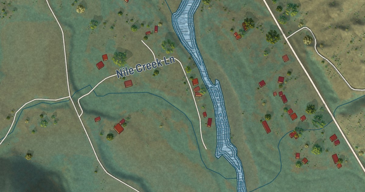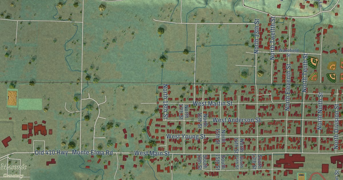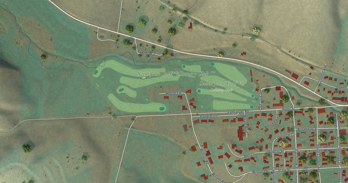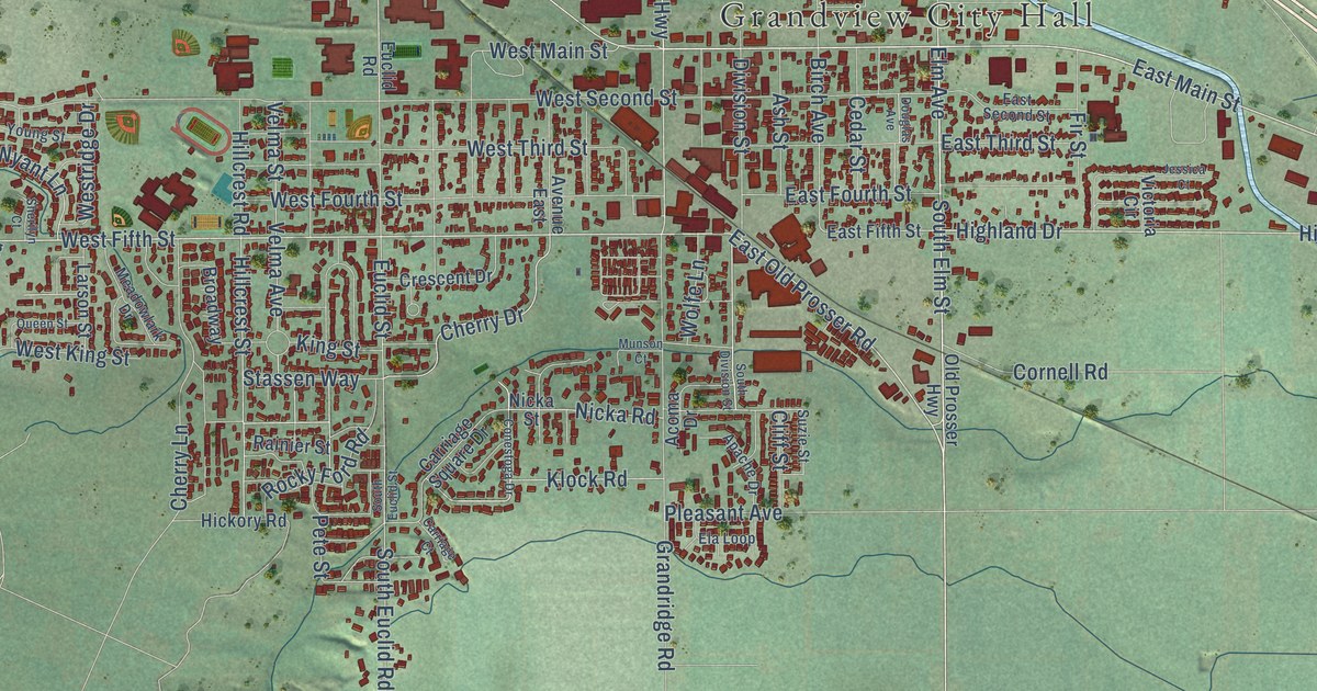
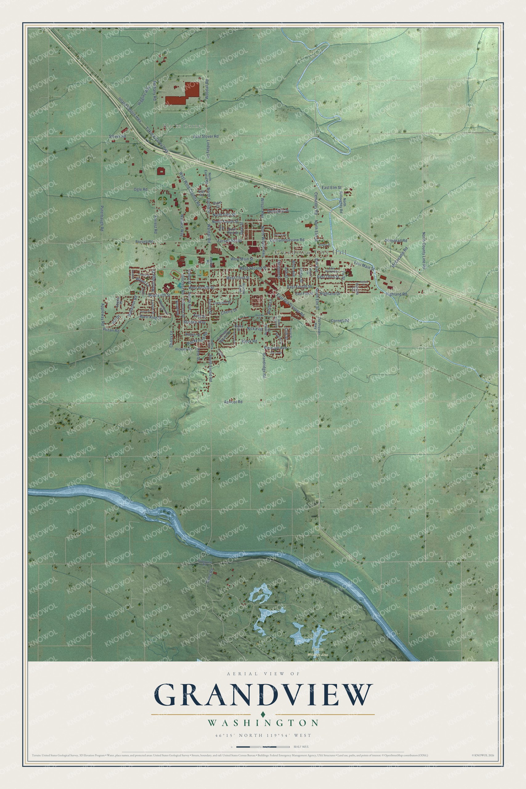
This beautifully detailed map of Grandview, Washington was created in 2026 using aerial imagery combined with modern topographical, census, street and landmark data. It’s a one-of-a-kind view of Grandview that combines accurate data with a vintage aesthetic. The map shows every building in its true location, many of the roads carry their names, and the shaded topographic relief shows the shape of the land.
Explore an aerial view of Grandview, Washington
On the map you’ll find Grandview City Hall, Blacks Corner, Byron Wildlife Area, and Forsell Roaad, along with Inland Empire Highway, West Fifth Street, East Old Prosser Road, Highland Road, Division Street, South Elm Street, Elm Avenue, West Wine Country Road, and more. If you look closely you can even find your house accurately drawn in its correct location. Zoom in on the preview to look for yours.
Did you know this piece of Grandview, Washington history?
From HistoryLink.org: "When the Yakima Project first began, several businessmen staked out the Grandview Orchard Tracts, a plat of about 1,000 acres, each tract irrigated by a gravity supply system."
Take a closer look at the Grandview map
Street and place names on the Grandview, Washington map
These names are printed on the map of Grandview, Washington.
Places: Grandview City Hall, Blacks Corner and Byron Wildlife Area.
Streets and roads: Inland Empire Highway, West Fifth Street, East Old Prosser Road, Highland Road, Division Street, South Elm Street, Elm Avenue, Forsell Roaad, West Wine Country Road, West Main Street, North Wilson Highway, North Elm Street.
More street names, A to Z
Acoma Drive, Adams Street, Apache Drive, Appleway Road, Apricot Road, Ash Street, Avenue East, Bethany Road, Birch Avenue, Bridgeview Road, Broadway, Butternut Road, Carriage Court, Carriage Square Drive, Cedar Street, Cemetary Road, Cherry Drive, Cherry Lane, Cliff Street, Conestoga Drive, Cornell Road, Crescent Drive, Deangela Drive, Douglas Avenue, Dump Road, East Bonnieview Road, East Elm Street, East Fifth Street, East Fourth Street, East Main Street, East Second Street, East Stover Road, East Third Street, Eberle Place, Ela Loop, Euclid Road, Euclid Street, Fir Street, Forrest Road, Forsell Road, Grandridge Road, Grant Court, Harrison Street, Hickory Road, Higgins Way, Highland Drive, Hillcrest Road, Hillcrest Street, Hill Drive, Jessica Court, King Street, Klock Road, Larson Street, Lindsey Lane, McCreadie Road, Meadowlark Drive, Munson Court, Nealy Road, Nicka Road, Nicka Street, North County Line Road, North Euclid Road, North Euclid Street, North Fifth Street, North Fourth Street, North Third Street, North Willoughby Road, Ogle Road, Old Prosser Highway, Olmstead Road, Opal Street, Pecan Road, Pete Street, Pleasant Avenue, Puterbaugh Road, Queen Street, Rainier Street, Rocky Ford Road, Sherilyn Court, South Division Street, South Euclid Road, South Euclid Street, Stassen Way, Stover Road, Sunset Lane, Suzie Street, Velma Avenue, Velma Street, Viall Road, Victoria Circle, Wallace Way, Wardall Road, West Fourth Street, West King Street, Westridge Drive, West Second Street, West Third Street, Wilson Highway, Wolfe Lane, Woodall Road, Wyant Lane, Yakima Valley Highway, Young Street.
See the Grandview, Washington map on a wall
The Grandview map as an 18 x 24 inch print in a black frame.

This beautifully detailed map of Grandview makes an attractive addition to your office, library, or den, and it can even be used to teach children the geography and history of the area. It also makes a great gift for anyone who grew up in Grandview or moved away. When you’re done exploring, click here to get your copy of the Grandview map.