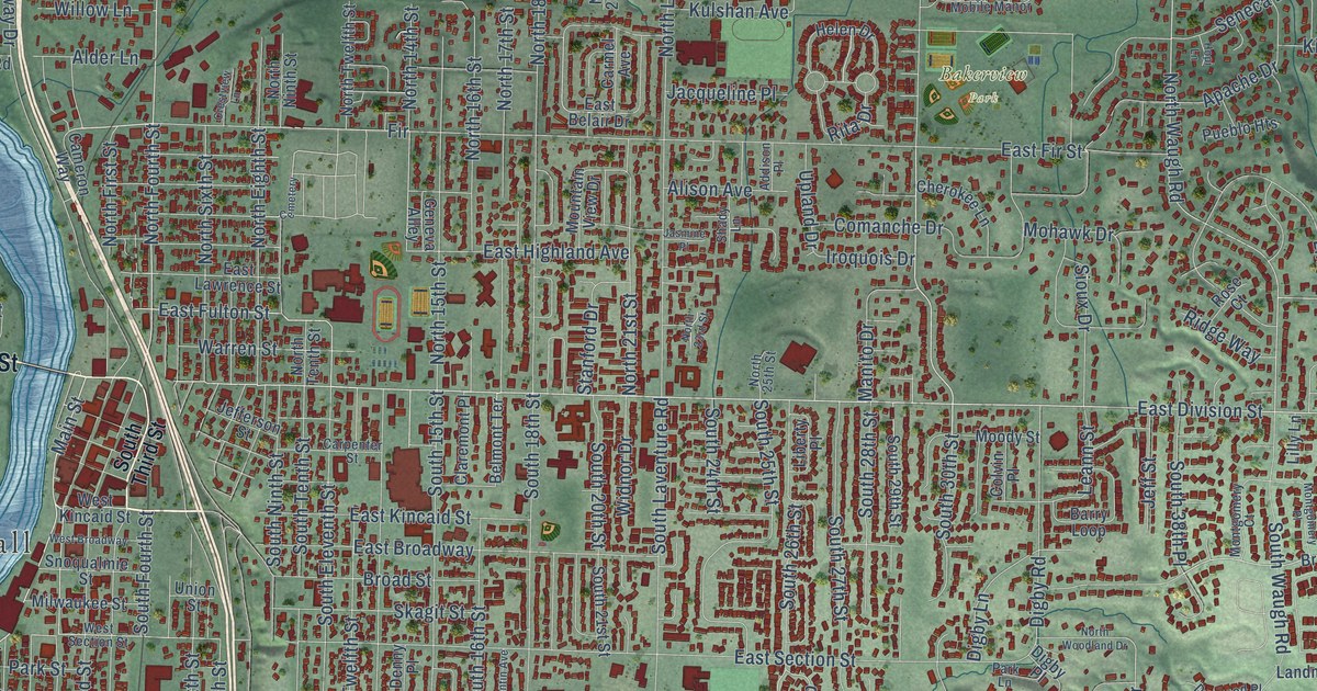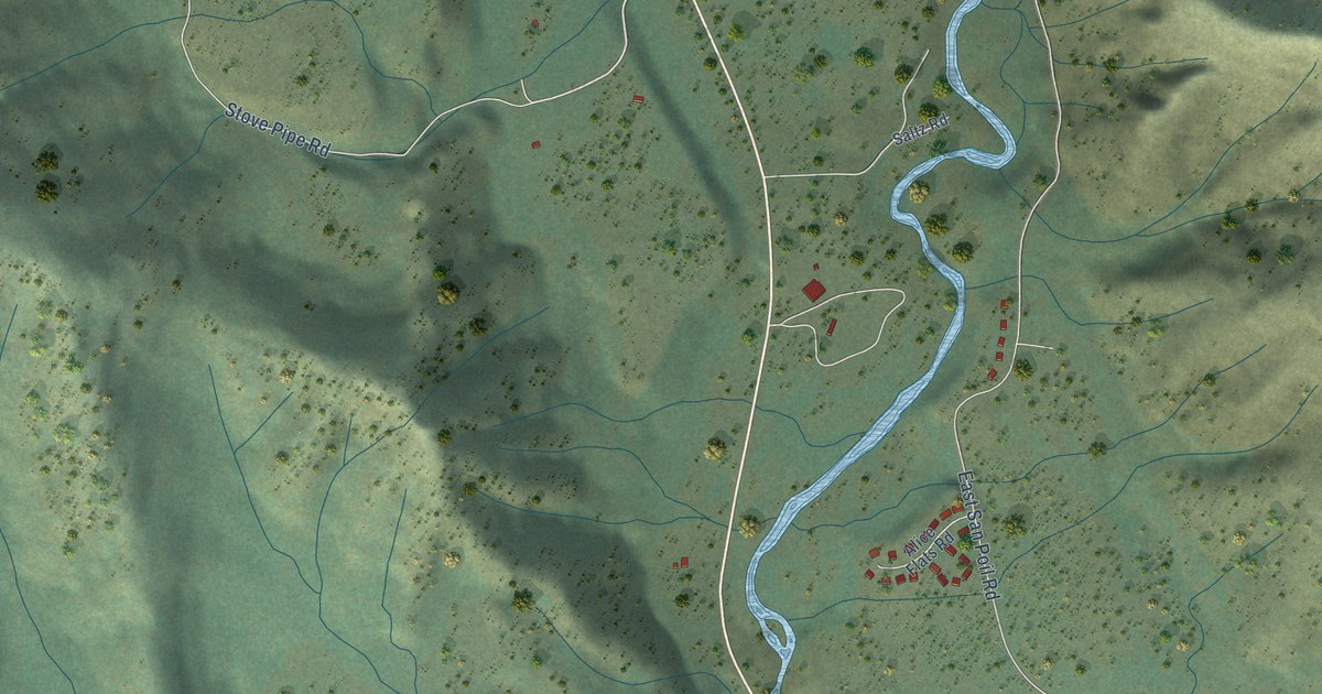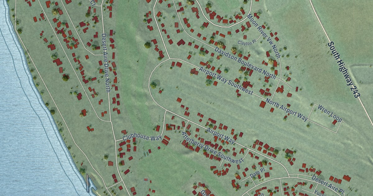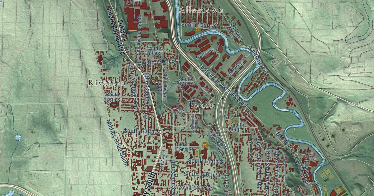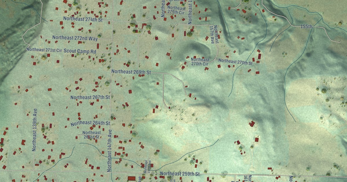
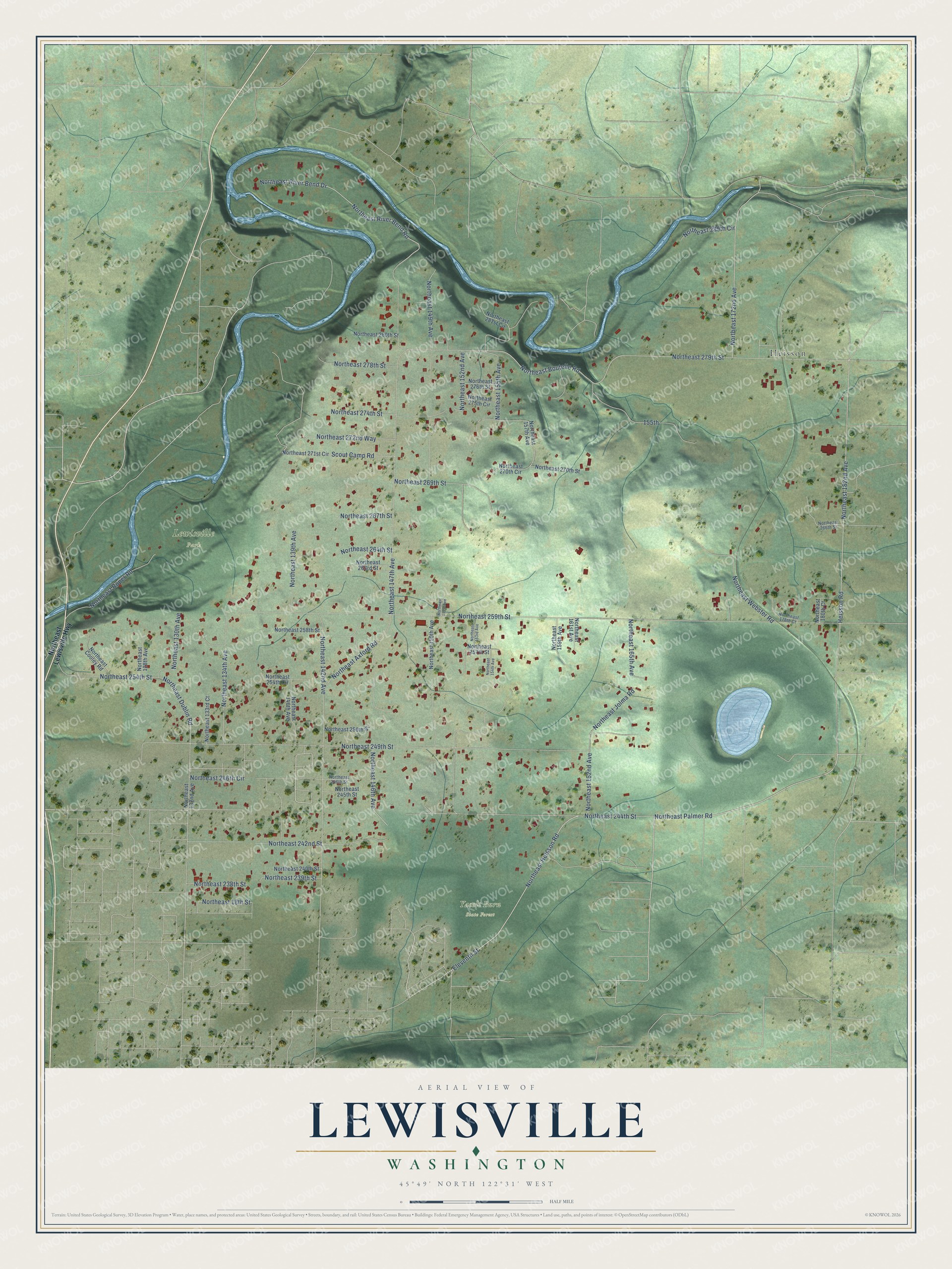
This beautifully detailed map of Lewisville, Washington was created in 2026 using aerial imagery combined with modern topographical, census, street and landmark data. It's a modern aerial view of Lewisville in Clark County, Washington, that combines modern data with a vintage aesthetic. The roads feature printed names, and if you look closely you can find your exact house accurately shown in its correct location.
Explore an aerial view of Lewisville, Washington
On this map you'll find Lewisville Park, Yacolt Burn State Forest, Heisson, Northeast Palmer Road, Northeast Heisson Road, Northeast Dublin Road, Northeast 18th Street, Northeast 259th Street, Northeast 249th Street, Northeast 279th Street, Heisson Road, Northeast 182nd Avenue, and more. Each red shape is a building, so zoom in on the preview and look for yours.
Lewisville is a community in Clark County. The Census Bureau counted 1,860 people here in 2020. Lewisville sits about 3 miles northwest of Venersborg, 3 miles northeast of Battle Ground and 3 miles east of Cherry Grove. The map prints the town name in its title panel, with the coordinates below it.
Take a closer look at the Lewisville map
Names on this map
These names are printed on this map.
Places: Lewisville Park, Yacolt Burn State Forest and Heisson.
Streets and roads: Northeast Palmer Road, Northeast Heisson Road, Northeast Dublin Road, Northeast 18th Street, Northeast 259th Street, Northeast 249th Street, Northeast 279th Street, Heisson Road, Northeast 182nd Avenue, Northeast 147th Avenue, Northeast 152nd Avenue, Northeast 142nd Avenue.
More street names, A to Z
155th, Eleventh Street, Northeast 128th Avenue, Northeast 130th Avenue, Northeast 132nd Avenue, Northeast 133rd Court, Northeast 134th Avenue, Northeast 139th Avenue, Northeast 140th Avenue, Northeast 146th Avenue, Northeast 149th Avenue, Northeast 150th Avenue, Northeast 151st Avenue, Northeast 153rd Avenue, Northeast 154th Avenue, Northeast 155th Avenue, Northeast 157th Avenue, Northeast 159th Avenue, Northeast 161st Avenue, Northeast 162nd Avenue, Northeast 165th Avenue, Northeast 172nd Avenue, Northeast 178th Court, Northeast 180th Court, Northeast 238th Street, Northeast 239th Street, Northeast 240th Street, Northeast 242nd Street, Northeast 244th Street, Northeast 245th Street, Northeast 246th Circle, Northeast 246th Street, Northeast 250th Street, Northeast 254th Circle, Northeast 254th Street, Northeast 257th Street, Northeast 258th Street, Northeast 263rd Street, Northeast 264th Street, Northeast 266th Street, Northeast 267th Street, Northeast 269th Street, Northeast 270th Circle, Northeast 270th Street, Northeast 271st Circle, Northeast 272nd Way, Northeast 274th Street, Northeast 275th Circle, Northeast 276th Street, Northeast 278th Street, Northeast 280th Street, Northeast 281st Circle, Northeast 289th Circle, Northeast Axford Road, Northeast Boutelle Road, Northeast Cooley Road, Northeast Jolma Road, Northeast Lewisville Highway, Northeast River Bend Drive, Northeast River Bend Road, Northeast Roper Road, Northeast Webster Road, Scout Camp Road.
See it on a wall
The Lewisville map as a framed print. Swipe for more.


Created by KNOWOL in 2026. The buildings are small red shapes, the roads carry their printed names, and shaded relief shows the shape of the land. The title panel reads "AERIAL VIEW OF LEWISVILLE, WASHINGTON" with 45°49' NORTH 122°31' WEST.
It suits a den, a classroom or a front hall, and it makes a gift for anyone with Lewisville roots. Open the preview and find the block you know. See sizes and frames for the Lewisville map.