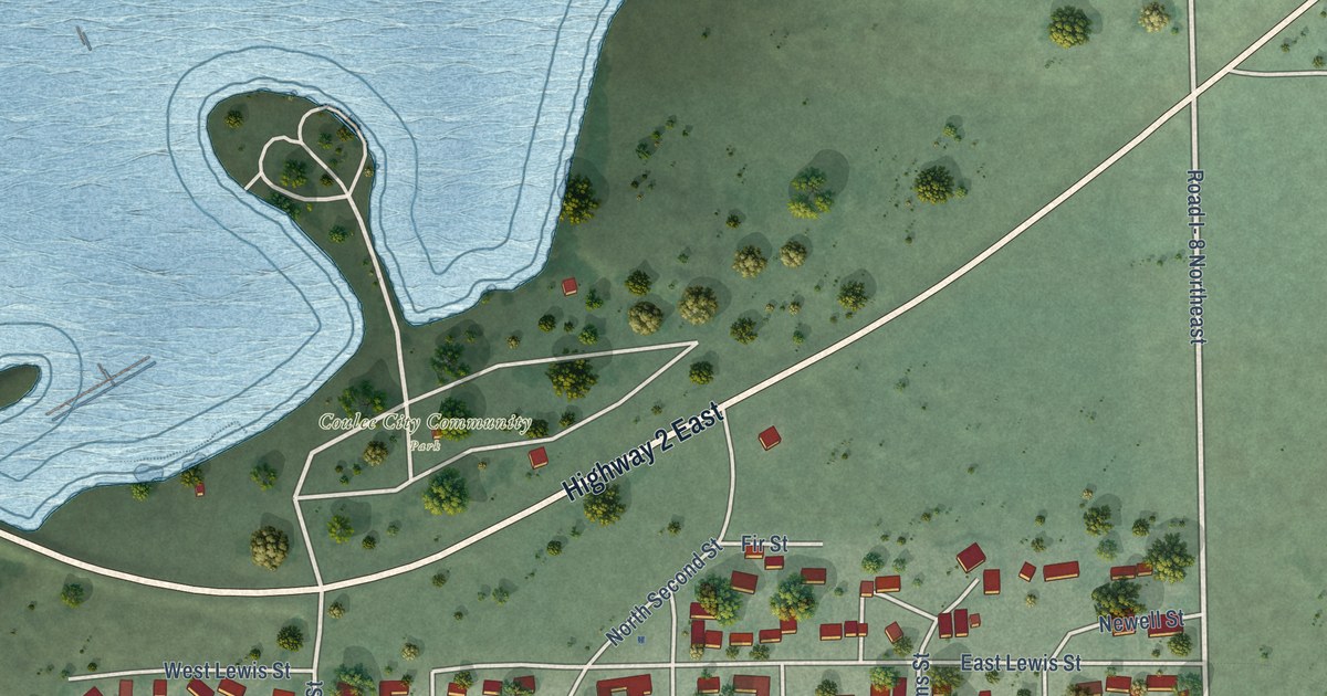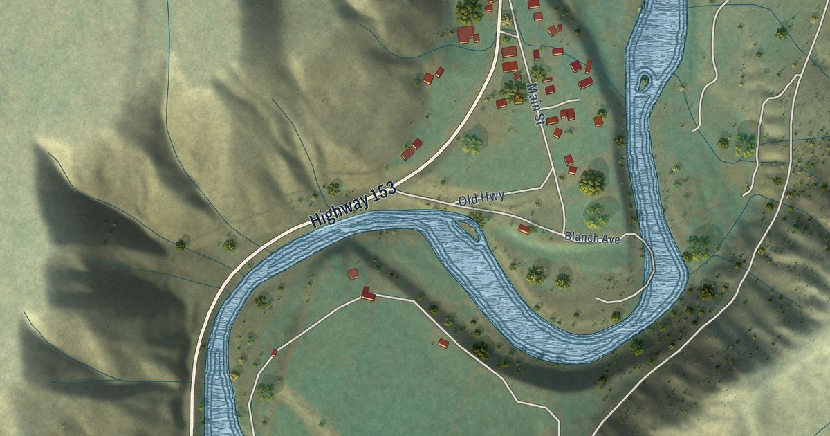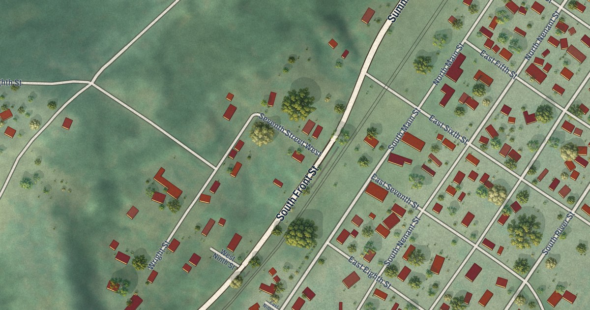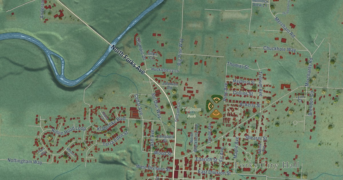
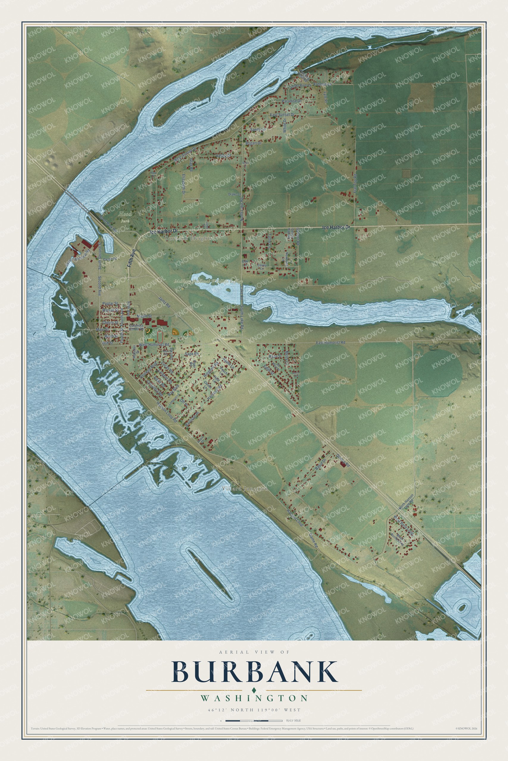
This beautifully detailed map of Burbank, Washington was created in 2026 using aerial imagery combined with modern topographical, census, street and landmark data. It's a modern aerial view of Burbank in Walla Walla County, Washington, that combines modern data with a vintage aesthetic. The roads feature printed names, and if you look closely you can find your exact house accurately shown in its correct location.
Explore an aerial view of Burbank, Washington
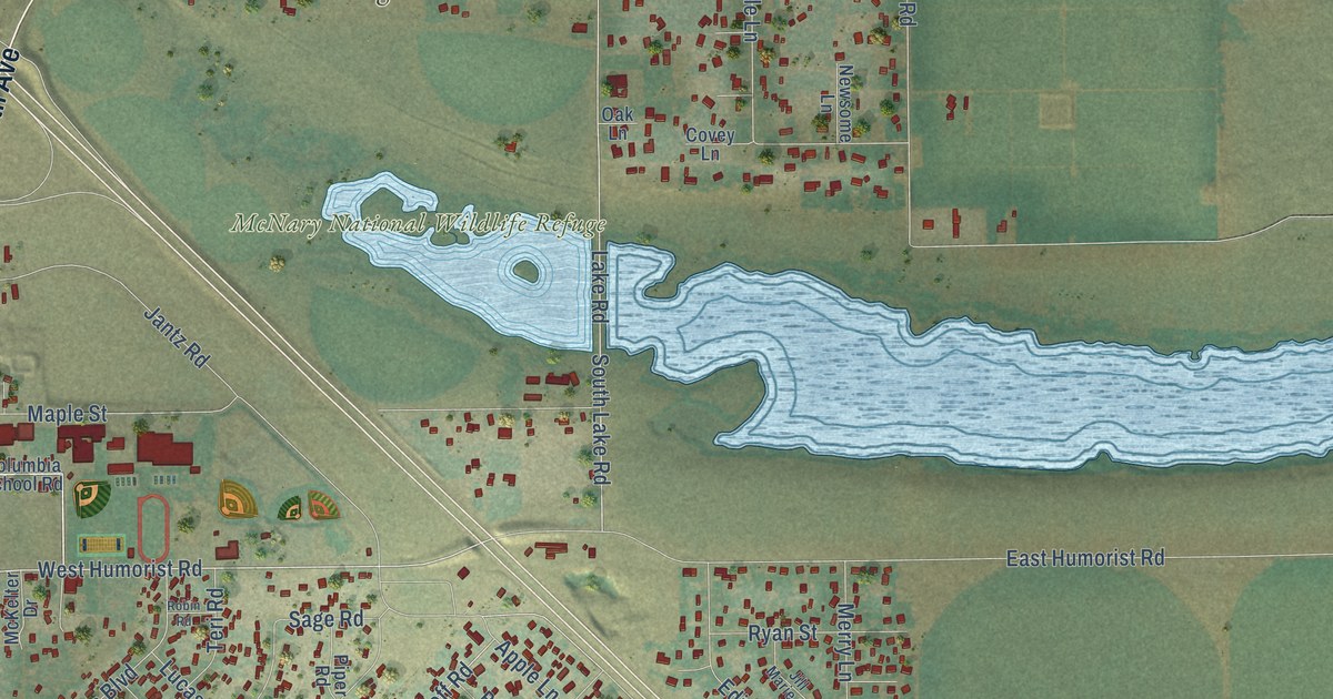
On this map you'll find Villard Junction, Burbank Heights, Hood Park, McNary National Wildlife Refuge, Fifth Avenue, Ice Harbor Drive, Main Street, West Humorist Road, North Lake Road, Hanson Loop, Hanson Loop Road, Quincy Road, and more. Each red shape is a building, so zoom in on the preview and look for yours.
Here is a piece of Burbank history. Burbank was platted in 1910 by the Burbank Power and Water Company, and it is the oldest surviving community in the county on the Columbia River. When McNary Dam created Lake Wallula in 1953, the river towns of Wallula, New Wallula, Attalia, Two Rivers and Villard were flooded or moved, but only a small part of Burbank was displaced. That's from the Walla Walla County Fire District 5.
Burbank is a community in Walla Walla County. The Census Bureau counted 3,499 people here in 2020.
Take a closer look at the Burbank map
Names on this map
These names are printed on this map.
Places: Villard Junction, Burbank Heights, Hood Park and McNary National Wildlife Refuge.
Streets and roads: Fifth Avenue, Ice Harbor Drive, Main Street, West Humorist Road, North Lake Road, Hanson Loop, Hanson Loop Road, Quincy Road, West Sunset Drive, East Humorist Road, Maple Street, Gallant Road.
More street names, A to Z
Adair Road, Apple Lane, Ash Street, Basin Drive, Birch Street, Bogart Drive, Cargil Road, Cherry Street, Clover Lane, Columbia Road, Columbia School Road, Covey Lane, Desert Gap Road, Drake Lane, East Sunset Drive, Edith Street, Elizabeth Drive, Erdman Lane, Field Lane, Flat Top Road, Fourth Avenue, Fourth Street, Game Road, Glad Road, Grain Terminal Road, Harold Avenue, Harrison Place, Harrison Road, Hood Park Road, Jackie Court, Janell Lane, Jantz Road, Jill Marie Street, Lake Road, Lampson Lane, Largent Road, Lucas Road, Lyle Place, McKelter Drive, Merry Lane, Newsome Lane, North Hanson Loop Road, Oak Lane, Off Place, Paradise Drive, Park Place, Peach Lane, Piper Road, Poplar Street, Pumping Plant Road, Ray Boulevard, Reinken Boulevard, Ringhoff Road, Robin Road, Ryan Street, Sage Road, Sandy Lane, Second Avenue, Snake River Drive, South Lake Road, South Second Street, Sullys Drive, Teri Road, Tuttle Lane, Valley Drive, Walnut Street, West Borne Loop, West Born Loop, White Drive.
See it on a wall
The Burbank map as a framed print. Swipe for more.


Created by KNOWOL in 2026. The buildings are small red shapes, the roads carry their printed names, and shaded relief shows the shape of the land. The title panel reads "AERIAL VIEW OF BURBANK, WASHINGTON" with 46°12' NORTH 119°00' WEST.
It suits a den, a classroom or a front hall, and it makes a gift for anyone with Burbank roots. Open the preview and find the block you know. See sizes and frames for the Burbank map.