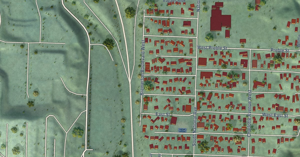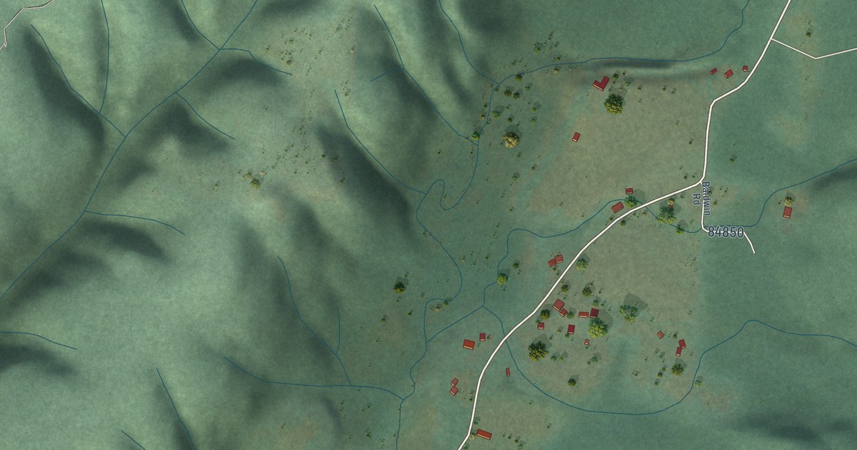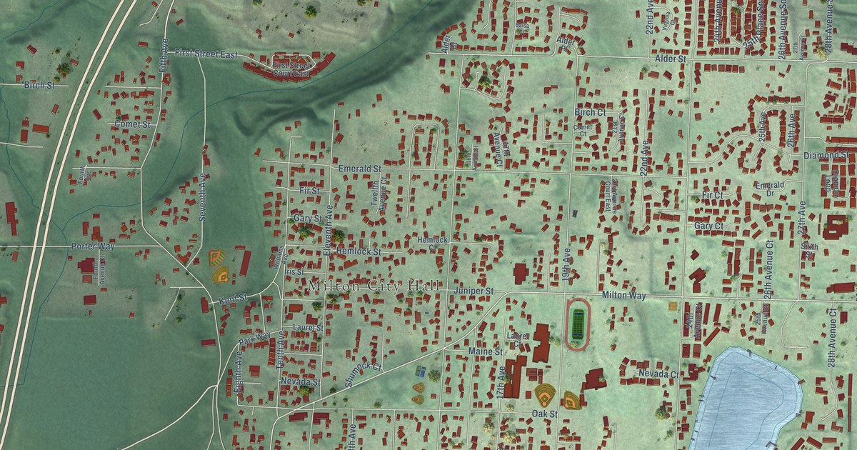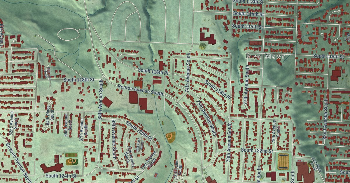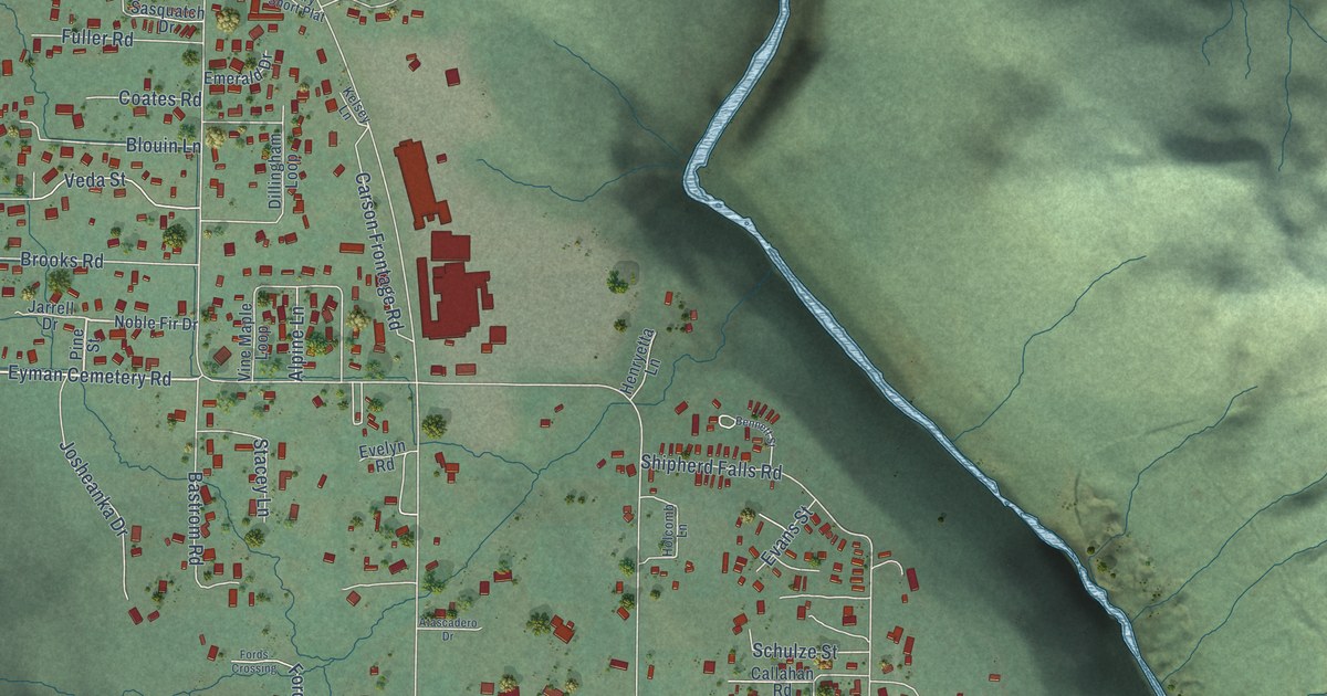
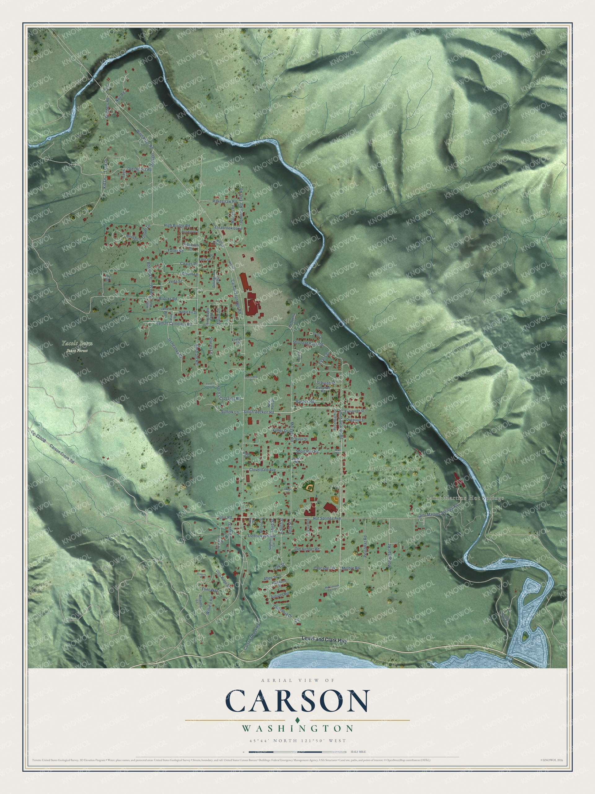
This beautifully detailed map of Carson, Washington was created in 2026 using aerial imagery combined with modern topographical, census, street and landmark data. It's a modern aerial view of Carson in Skamania County, Washington, that combines modern data with a vintage aesthetic. The roads feature printed names, and if you look closely you can find your exact house accurately shown in its correct location.
Explore an aerial view of Carson, Washington
On this map you'll find Saint Martins Hot Springs, Yacolt Burn State Forest, Elk Ridge Golf Course, Lewis and Clark Highway, Carson Creek Road, Smith-Beckon Road, Cg-2200B, Eyman Cemetery Road, Metzger, Columbia Drive, Veda Street, Schulze Street, and more. Each red shape is a building, so zoom in on the preview and look for yours.
Carson is a community in Skamania County. The Census Bureau counted 2,323 people here in 2020. Carson sits about 4 miles northeast of Stevenson, 10 miles northeast of North Bonneville and 16 miles west of White Salmon. The map prints the town name in its title panel, with the coordinates below it.
Take a closer look at the Carson map
Names on this map
These names are printed on this map.
Places: Saint Martins Hot Springs, Yacolt Burn State Forest and Elk Ridge Golf Course.
Streets and roads: Lewis and Clark Highway, Carson Creek Road, Smith-Beckon Road, Eyman Cemetery Road, Metzger, Columbia Drive, Veda Street, Schulze Street, Wind River Road, Metzger Road, Hot Springs Avenue, Smith Beacon Road.
More street names, A to Z
Allen Street, Alpine Lane, Arbor Way, Atascadero Drive, Barnes Road, Bastrom Road, Beaudry Lane, Bennett Street, Blouin Lane, Bonnie Lane, Boyd Street, Brenner Road, Brooks Road, Brothers Road, Callahan Road, Carson Depot Road, Carson Frontage Road, Cascade Terrace, Cheryl Lane, Cliff Drive, Cloverdale Avenue, Coates Road, Dalen Street, Dillingham Loop, Dogwood Street, Ellis Road, Emerald Drive, Estabrook Loop, Evans Street, Evelyn Road, Evergreen Street, Fifth Street, First Street, Flint Way, Florence Lane, Ford's Crossing Road, Fords Crossing, Fourth Street, Frances Lane, Fredrickson Avenue, Fuller Road, Glur Road, Henryetta Lane, High Bridge Road, Holcomb Lane, Jarrell Drive, Johnson Road, Josheanka Drive, June's Road, Juniper Road, Kay Road, Kelsey Lane, Kid Lane, Log Dump Road, Mary Short Plat, Mathany Road, Melbre Road, Mid Cascade Farm Drive, Monaghan Road, Nail Road, New Port Drive, Noble Fir Drive, North Bigfoot Drive, Oak Street, Old Airport Road, Old Detour Road, Pearl Road, Peyrollaz Road, Pine Street, Plum Drive, Rakestraw Road, Redwood Street, Rosenbach Lane, Russell's Timber Lane, Saint Martins Springs Road, Sasquatch Drive, Second Street, Shipherd Falls Road, Short Run Road, Sophia Lane, Stacey Lane, Suffolk Lane, Third Street, Travis Lane, Trink Drive, Vada Street, Valley Drive, Vine Maple Loop, Vista Ridge Drive, Wilkinson Street, Willie's Road.
See it on a wall
The Carson map as a framed print. Swipe for more.


Created by KNOWOL in 2026. The buildings are small red shapes, the roads carry their printed names, and shaded relief shows the shape of the land. The title panel reads "AERIAL VIEW OF CARSON, WASHINGTON" with 45°44' NORTH 121°50' WEST.
Hang it in the hallway, the office or the cabin, or give it to someone who left Carson and still calls it home. Open the preview and look for a street you know. See sizes and frames for the Carson map.