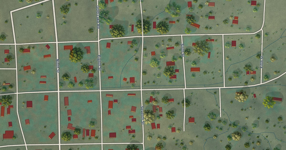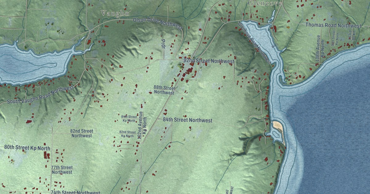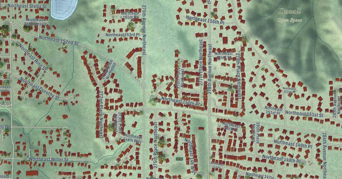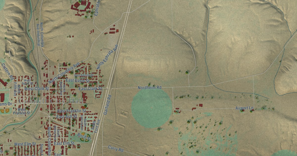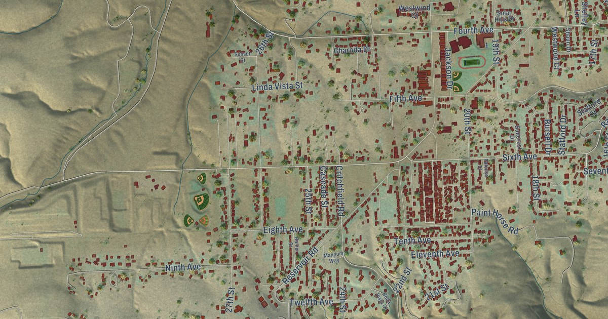
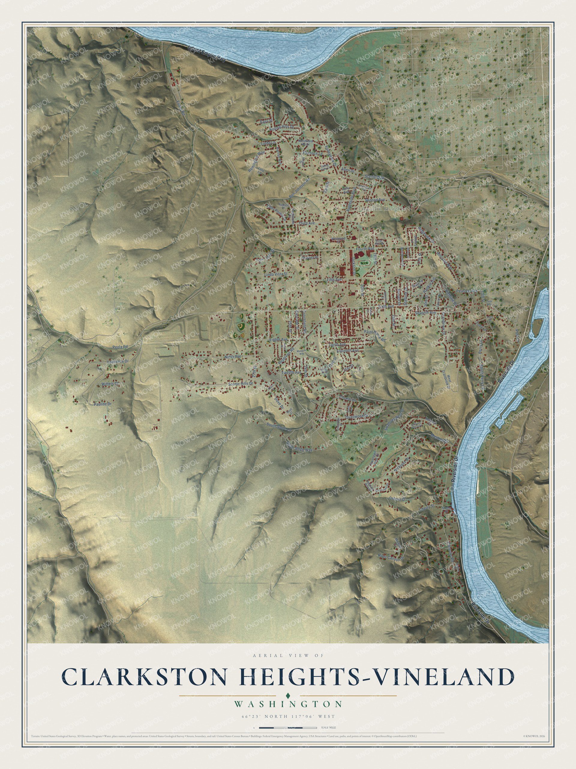
This beautifully detailed map of Clarkston Heights-Vineland, Washington was created in 2026 using aerial imagery combined with modern topographical, census, street and landmark data. It's a modern aerial view of Clarkston Heights-Vineland in Asotin County, Washington, that combines modern data with a vintage aesthetic. The roads feature printed names, and if you look closely you can find your exact house accurately shown in its correct location.
Explore an aerial view of Clarkston Heights-Vineland, Washington
On this map you'll find Clarkston Heights, Riverside Drive, Inland Empire Highway, Critchfield Road, Fourth Avenue, Dove Drive, Rankin Hill, 17th Street, Sixth Avenue, Evans Road, Peola Road, Valleyview Drive, and more. Each red shape is a building, so zoom in on the preview and look for yours.
Clarkston Heights-Vineland has a story worth telling. In the summer of 1896 the company behind Clarkston began its Vineland irrigation project. It divided a bench inside a bend of the Snake River into fruit tracts, watered by a canal from Asotin Creek. Later a new flume carried water higher, and the company laid out more fruit plots on the second bench, called Clarkston Heights. The new Clarkston Heights area doubled the size of the original irrigation project. That's from the Washington State University Libraries.
Clarkston Heights-Vineland is a community in Asotin County. The Census Bureau counted 7,275 people here in 2020.
Take a closer look at the Clarkston Heights-Vineland map
Names on this map
These names are printed on this map.
Places: Clarkston Heights.
Streets and roads: Riverside Drive, Inland Empire Highway, Critchfield Road, Fourth Avenue, Dove Drive, Rankin Hill, 17th Street, Sixth Avenue, Evans Road, Peola Road, Valleyview Drive, Clemans Road.
More street names, A to Z
13th Street, 16th Street, 18th Street, 19th Street, 20th Street, 21st Street, 22nd Street, 23rd Street, 24th Avenue, 24th Street, 25th Street, 26th Street, 27th Street, Allen Drive, Andreasen Drive, Appleside Boulevard, Bella Vista Court, Ben Johnson Road, Bursell Drive, Cascade Street, Charnita Drive, Cherry Street, Chukar Lane, Deer Pointe Drive, Dove Court, Dove Lane, Easy Street, Eighth Avenue, Eleventh Avenue, Fifth Avenue, Florence Lane, Grandview Drive, Greco Drive, Heimark Court, Highline Drive, Hillcrest Way, Holly Avenue, Jackson Drive, Laurel Drive, Lawrence Drive, Linda Lane, Linda Vista Street, Lolo Lane, Mangum Way, Marilyn Way, Masters Drive, Michael Drive, Nicklaus Drive, Ninth Avenue, Osborn Drive, Paint Horse Road, Palouse Court, Pauline Drive, Peaslee Avenue, Perry Lane, Pitchstone Drive, Pleasant View Drive, Post Lane, Quailridge Drive, Quails Nest Drive, Quailwood Drive, Rainer Street, Remington Way, Reservoir Road, Ridgeview Drive, River Canyon Drive, Rivercrest Drive, Rolling Hills Drive, Ryegate Lane, Sargent Drive, Scenic Hills Drive, Scenic Way, Second Avenue, Seventh Avenue, Shaun Drive, Shelley Lane, Skyline Drive, Solar Hills Drive, South Perry Lane, South Slope Lane, South Slope Way, Stafford Court, Stafford Drive, Suncrest Drive, Sunset Court, Swallows Nest Court, Swallows Nest Drive, Swallows Nest Loop, Tenth Avenue, Third Avenue, Toby Court, Toby Lane, Twelfth Avenue, Valley View Court, West Grandview Drive, Westward Ho Drive, Westwind Court, Westwood Court, Witters Court.
See it on a wall
The Clarkston Heights-Vineland map as a framed print. Swipe for more.


Created by KNOWOL in 2026. The buildings are small red shapes, the roads carry their printed names, and shaded relief shows the shape of the land. The title panel reads "AERIAL VIEW OF CLARKSTON HEIGHTS-VINELAND, WASHINGTON" with 46°23' NORTH 117°06' WEST.
It looks right in a kitchen, an office or a den, and it's a gift for anyone who grew up in Clarkston Heights-Vineland or moved away. Open the preview and find your street. See sizes and frames for the Clarkston Heights-Vineland map.