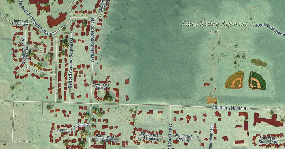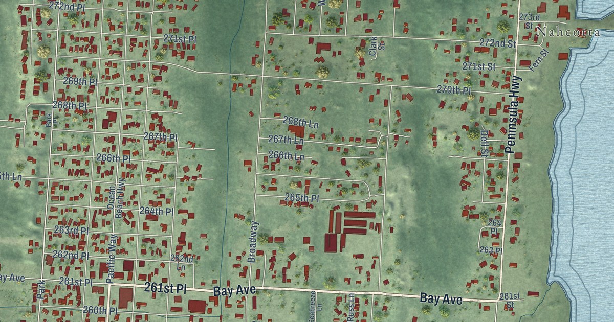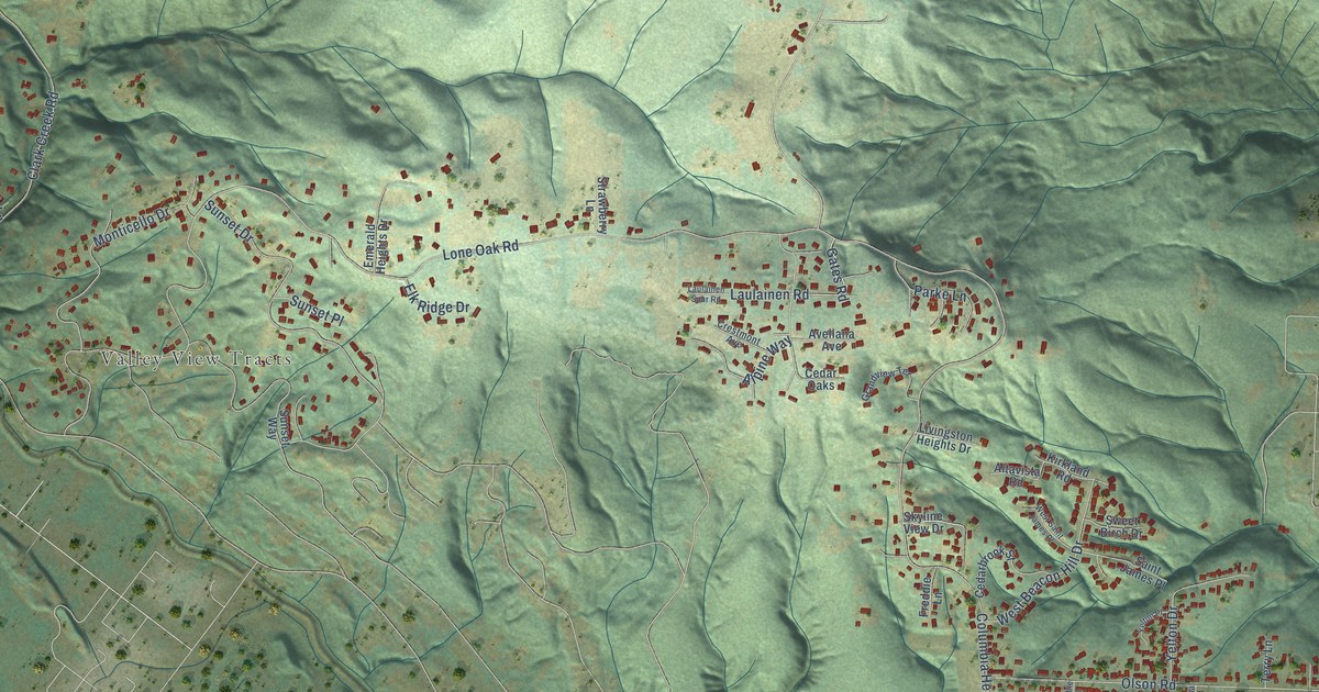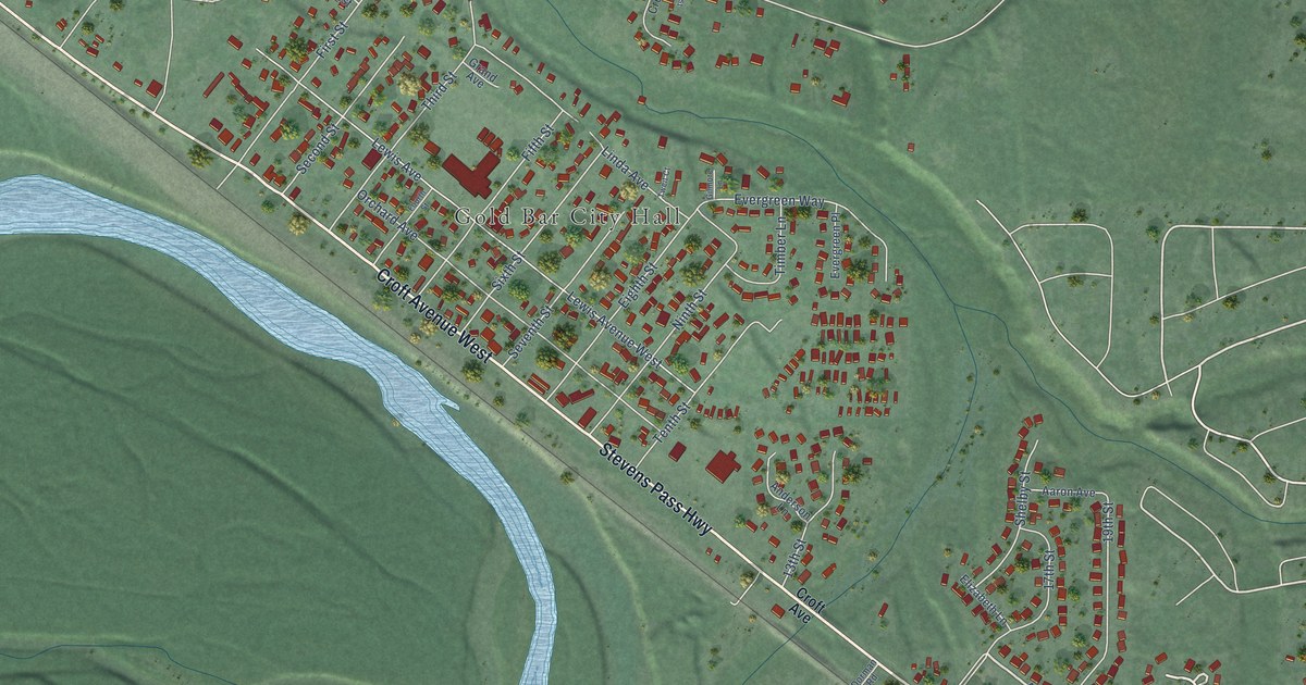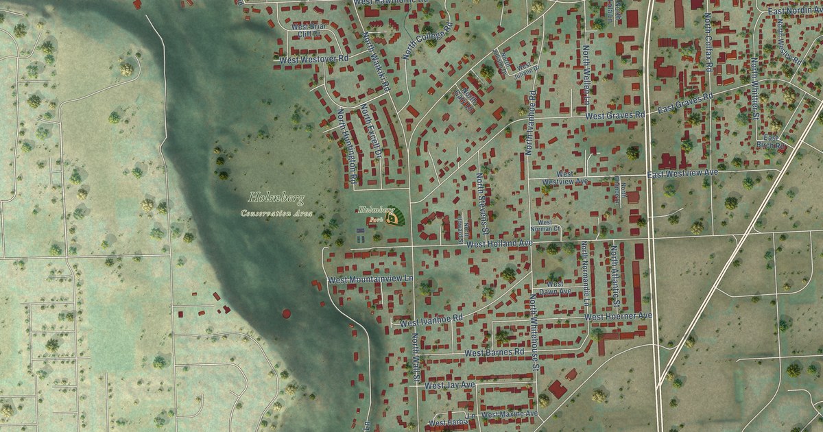
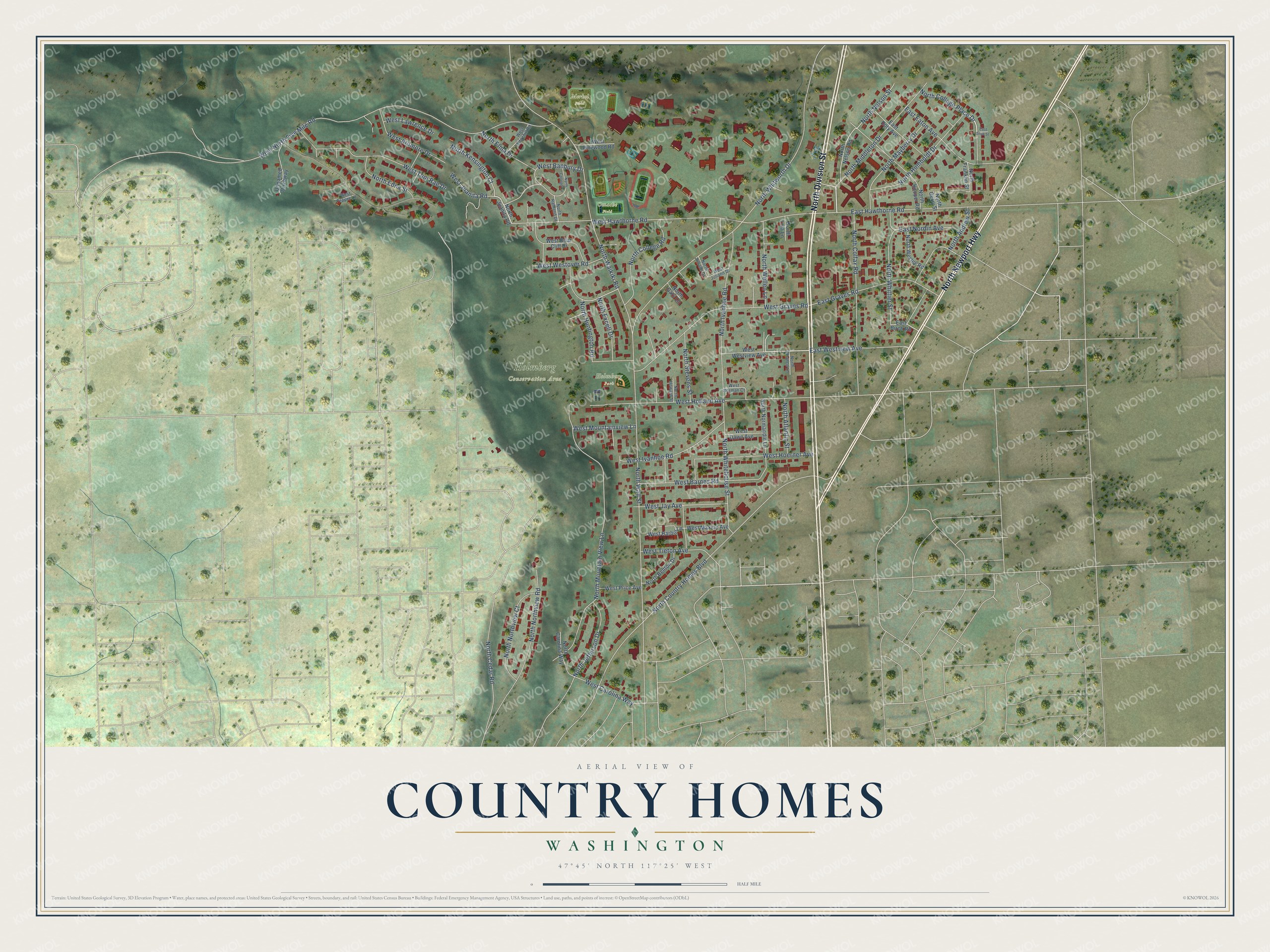
This beautifully detailed map of Country Homes, Washington was created in 2026 using aerial imagery combined with modern topographical, census, street and landmark data. It's a modern aerial view of Country Homes in Spokane County, Washington, that combines modern data with a vintage aesthetic. The roads feature printed names, and if you look closely you can find your exact house accurately shown in its correct location.
Explore an aerial view of Country Homes, Washington
On this map you'll find Holmberg Conservation Area, Holmberg Park, Merkel Field, Omache Field, North Division Street, North Newport Highway, North Nelson Street, North Wall Street, West North Five Mile Road, North Whitworth Drive, North Country Homes Boulevard, West Hawthorne Road, and more. Each red shape is a building, so zoom in on the preview and look for yours.
Country Homes is a community in Spokane County. The Census Bureau counted 6,251 people here in 2020. Country Homes sits about 4 miles southwest of Mead, 6 miles north of Spokane and 8 miles northwest of Millwood. The map prints the town name in its title panel, with the coordinates below it.
Take a closer look at the Country Homes map
Names on this map
These names are printed on this map.
Places: Holmberg Conservation Area, Holmberg Park, Merkel Field and Omache Field.
Streets and roads: North Division Street, North Newport Highway, North Nelson Street, North Wall Street, West North Five Mile Road, North Whitworth Drive, North Country Homes Boulevard, West Hawthorne Road, North Waikiki Road, North Mountain View Lane, West Holland Avenue, West Graves Road.
More street names, A to Z
East Birch Road, East Doty Avenue, East Eaton Avenue, East Graves Road, East Hawthorne Road, East Nordin Avenue, East Stub Street, East Westview Avenue, North Andrew Street, North Atlantic Street, North Benton Drive, North Carolina Way, North Cedar Road, North Chance Lane, North Colfax Road, North College Circle, North College Place Drive, North College Road, North Edna Street, North Elma Drive, North Excell Drive, North Franklin Street, North Gary Lane, North Gerry Street, North Hooper Road, North Howard Street, North Humboldt Drive, North Huntington Road, North Ivanhoe Road, North Jefferson Drive, North Juanita Road, North Juliann Drive, North Kensington Court, North Lola Lane, North Mayberry Drive, North Middleton Drive, North Nelson Road, North Normandie Lane, North Northview Court, North Northview Road, North Rahland Drive, North Stevens Street, North Wellen Lane, North Wesley Road, North Whitehouse Street, North Whittier Street, Unnamed Driveway, West Ardmore Drive, West Banbury Drive, West Barnes Road, West Briar Cliff Drive, West Carolina Way, West Dawn Avenue, West Edgehill Road, West Harbor Lane, West Hoerner Avenue, West Ivanhoe Road, West Jay Avenue, West Juanita Road, West Juliann Drive, West Lawrence Drive, West Maxine Avenue, West Mountainview Lane, West Norman Court, West Pepper Lane, West Pinewood Road, West Price Avenue, West Tieton Avenue, West Toni Rae Drive, West Westover Road, West Westview Avenue.
See it on a wall
The Country Homes map as a framed print. Swipe for more.


Created by KNOWOL in 2026. The buildings are small red shapes, the roads carry their printed names, and shaded relief shows the shape of the land. The title panel reads "AERIAL VIEW OF COUNTRY HOMES, WASHINGTON" with 47°45' NORTH 117°25' WEST.
It suits a den, a classroom or a front hall, and it makes a gift for anyone with Country Homes roots. Open the preview and find the block you know. See sizes and frames for the Country Homes map.