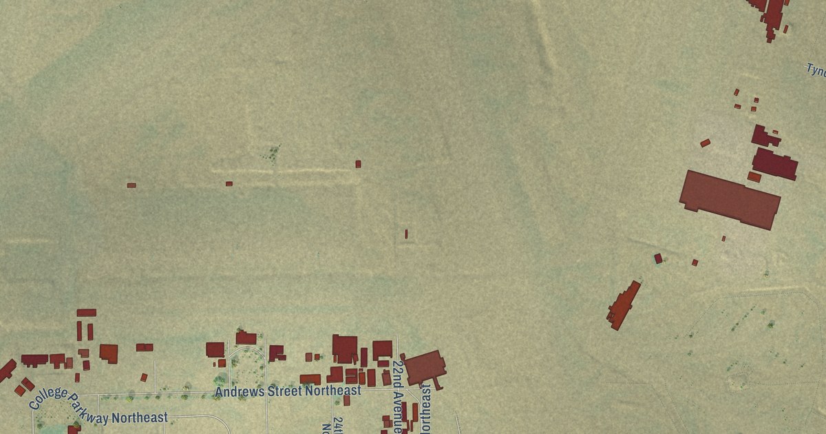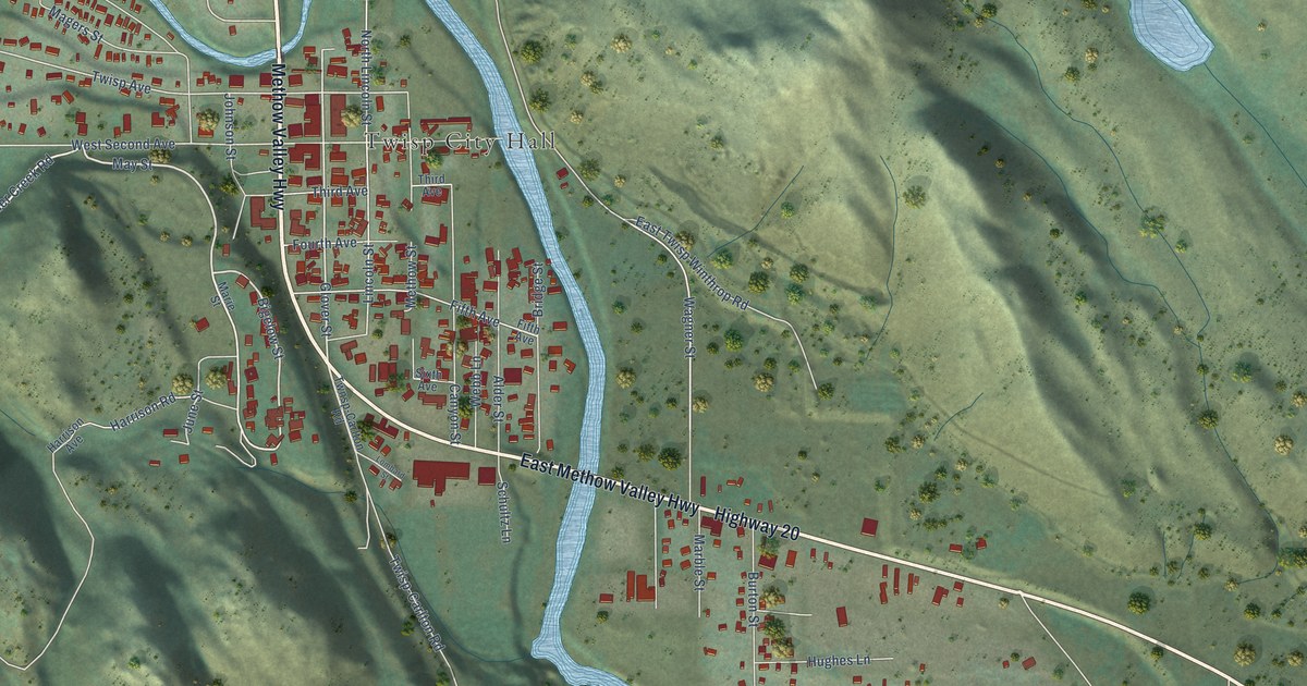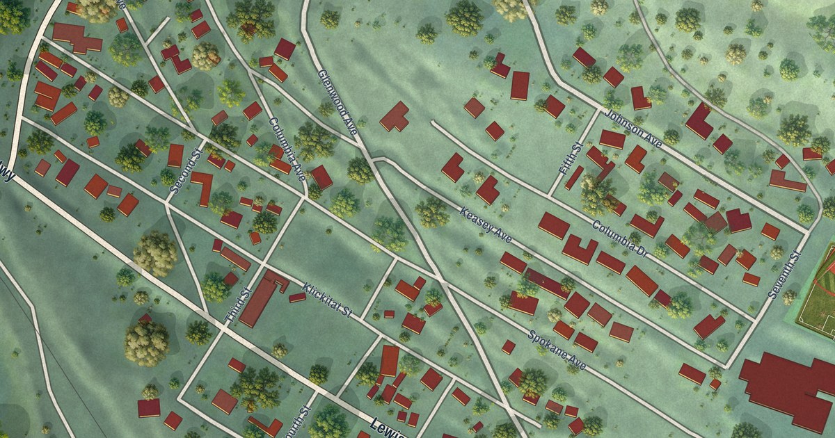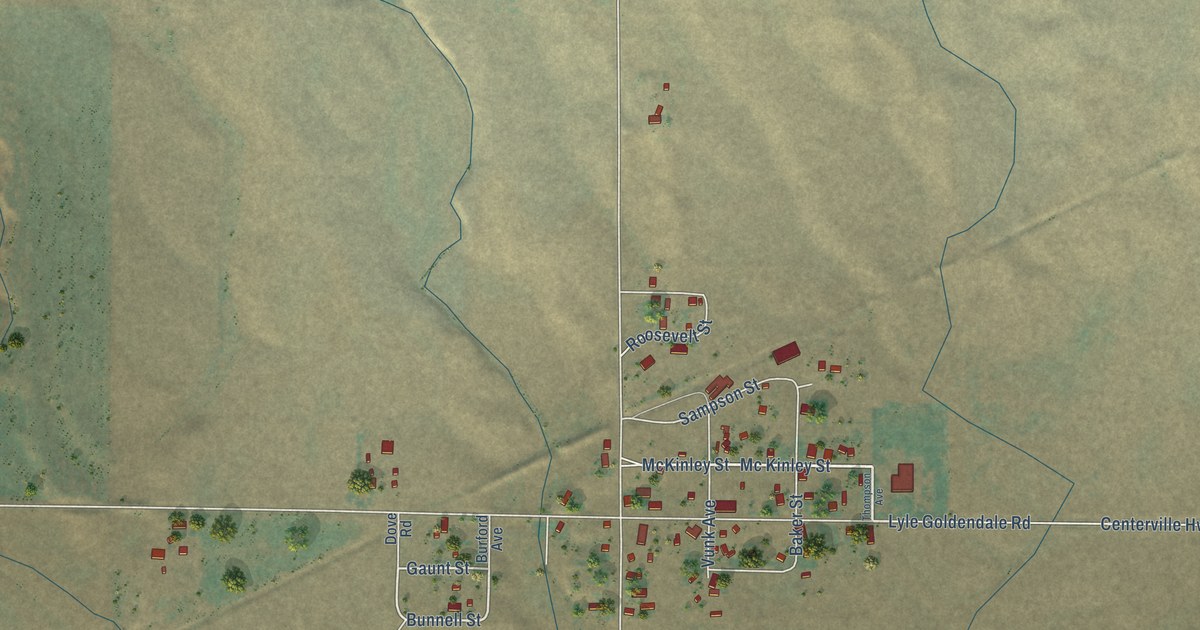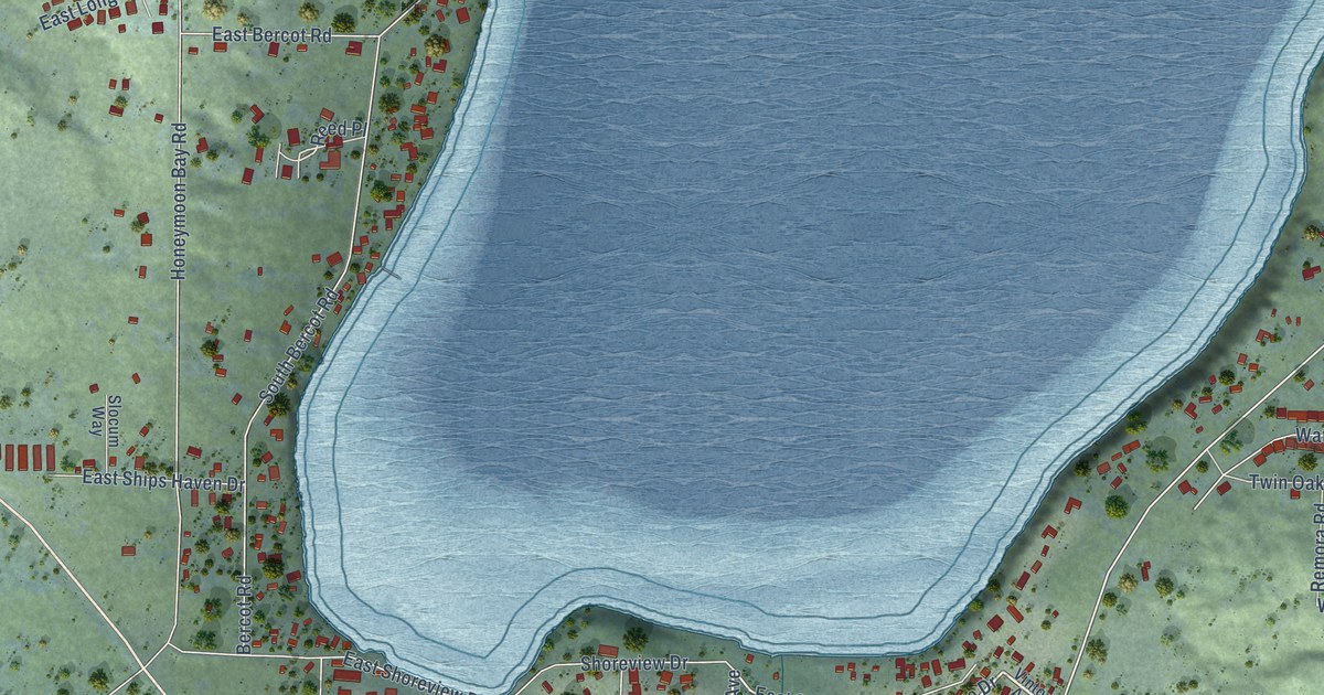
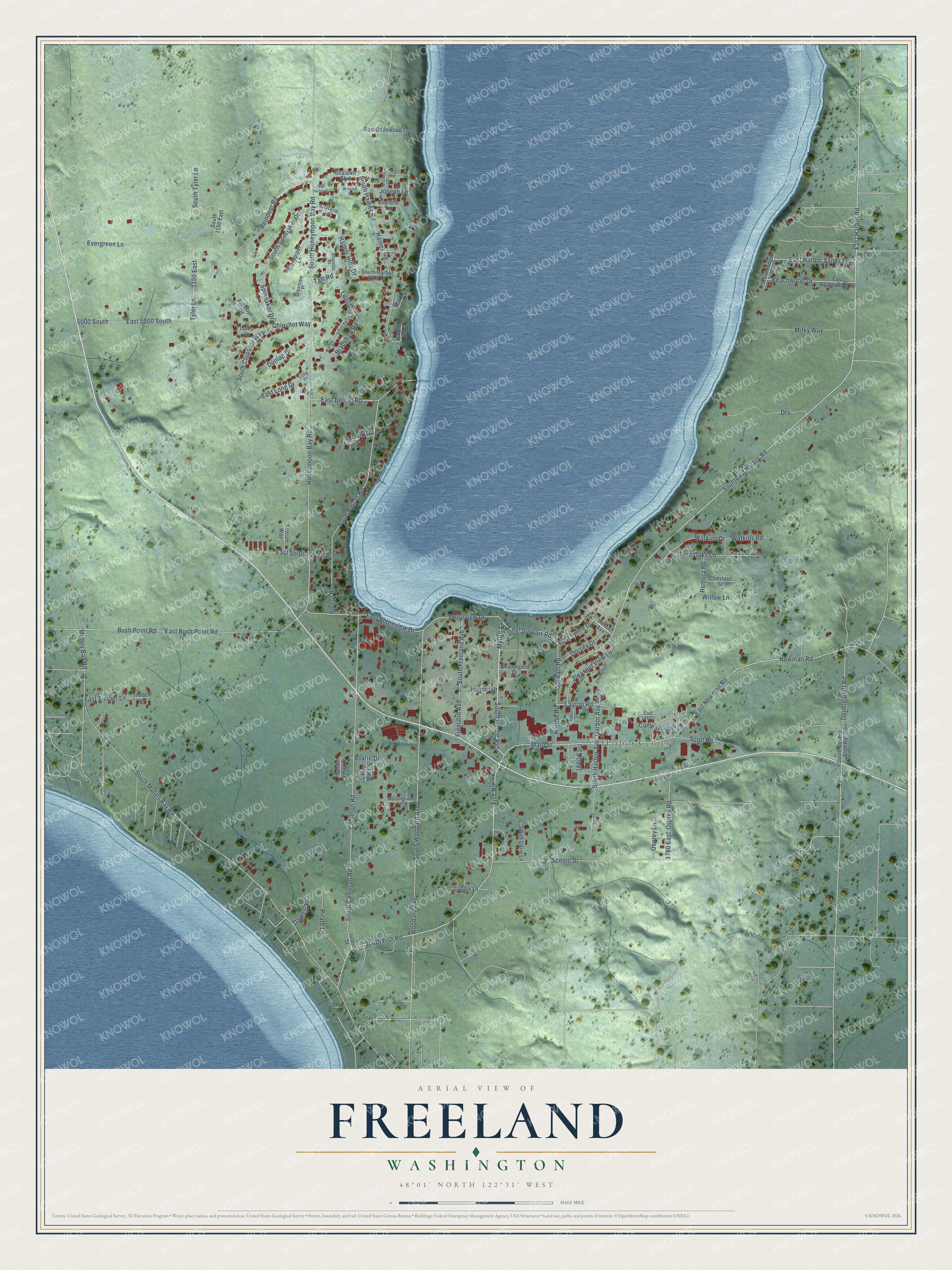
This beautifully detailed map of Freeland, Washington was created in 2026 using aerial imagery combined with modern topographical, census, street and landmark data. It's a modern aerial view of Freeland in Island County, Washington, that combines modern data with a vintage aesthetic. The roads feature printed names, and if you look closely you can find your exact house accurately shown in its correct location.
Explore an aerial view of Freeland, Washington
On this map you'll find Harbor Center, Main Street, Myrtle Avenue, South Myrtle Avenue, East Stewart Road, East Lynne Drive, East Newman Road, Fish Road, Southeast Harbor Road, East Harbor Road, Reed Place, Chipshot Way, and more. Each red shape is a building, so zoom in on the preview and look for yours.
Freeland is a community in Island County. The Census Bureau counted 2,252 people here in 2020. Freeland sits about 6 miles east of Marrowstone, 7 miles west of Langley and 8 miles north of Hansville. The map prints the town name in its title panel, with the coordinates below it.
Take a closer look at the Freeland map
Names on this map
These names are printed on this map.
Places: Harbor Center.
Streets and roads: Main Street, Myrtle Avenue, South Myrtle Avenue, East Stewart Road, East Lynne Drive, East Newman Road, Fish Road, Southeast Harbor Road, East Harbor Road, Reed Place, Chipshot Way, Watkins Drive.
More street names, A to Z
1150 East, 1660 East, 1780 East, 5000 South, Antelope Drive, Backswing Lane, Bar Harbor Court, Beachwood Drive, Beauregard Drive, Bercot Road, Bradley Lane, Bradshaw Road, Breezefair Road, Brittney Drive, Bush Point Road, Cameron Road, Cherry Street, Chestnut Street, Chris Mar Lane, Compass Boulevard, Daymar Place, Dorsey Drive, Double Bluff Road, Drv, Dunlap Drive, East 5000 South, East Beachwood Drive, East Bellewood Lane, East Bercot Road, East Bush Point Road, East Harbor Sands Lane, East Lee Court, East Long Drive, East Ships Haven Drive, East Shoreview Drive, East Timber Lane, Everette Lane, Evergreen Lane, Freeland Avenue, Garden Lane, Goodpiper Lane, Haines Road, Harbor Avenue, Harbor Hills Drive, Harbor Road, Honeymoon Bay Road, Island Street, Joanne Drive, Joseph Lane, Layton Road, Library Lane, Lilac Drive, Long Drive, Lotus Lane, Milky Way, Morningside Lane, Mutiny Bay Road, Newman Road, Osprey Lane, Osprey Road, Par Drive, Pirate Lane, Pleasant View Lane, Ralph Road, Ravenridge Drive, Reindeer Road, Remora Road, Roxlin Drive, Scenic Drive, Scott Road, Sealawn Boulevard, Shoreview Drive, Slocum Way, South 1150 East, South Bercot Road, South Cameron Road, South Carie Lane, South Chipshot Way, South Double Bluff Road, South Fish Road, South Freeland Avenue, South Haines Road, South Harbor Avenue, South Harbor Hills Drive, South Honeymoon Bay Road, South Mutiny Bay Road, South Par Drive, South Spinnaker Drive, South Tyler Lane, South Vesel Court, South Woodard Avenue, Spearview Place, Spinnaker Drive, Stewart Road, Taft Road, Timber Lane, Topaz Court, Twin Oaks Lane, Tyler Lane, Vinton Avenue, Watkins Road, Willow Lane, Winston Drive, Woodard Avenue.
See it on a wall
The Freeland map as a framed print. Swipe for more.


Created by KNOWOL in 2026. The buildings are small red shapes, the roads carry their printed names, and shaded relief shows the shape of the land. The title panel reads "AERIAL VIEW OF FREELAND, WASHINGTON" with 48°01' NORTH 122°31' WEST.
Hang it in the hallway, the office or the cabin, or give it to someone who left Freeland and still calls it home. Open the preview and look for a street you know. See sizes and frames for the Freeland map.