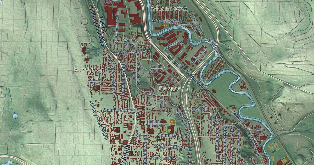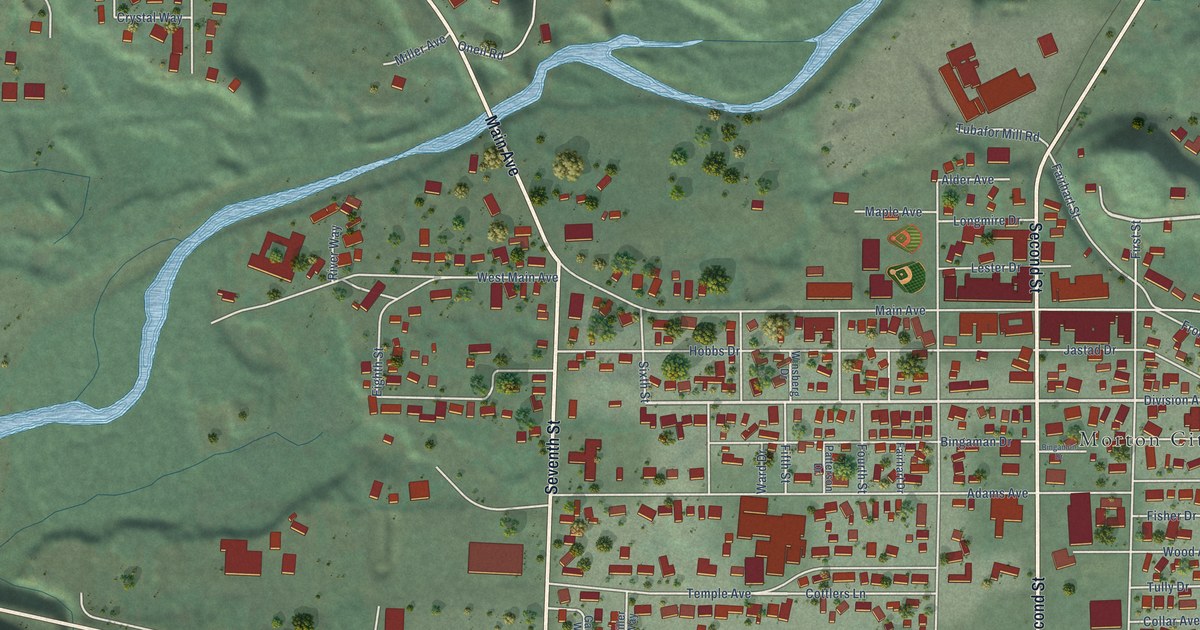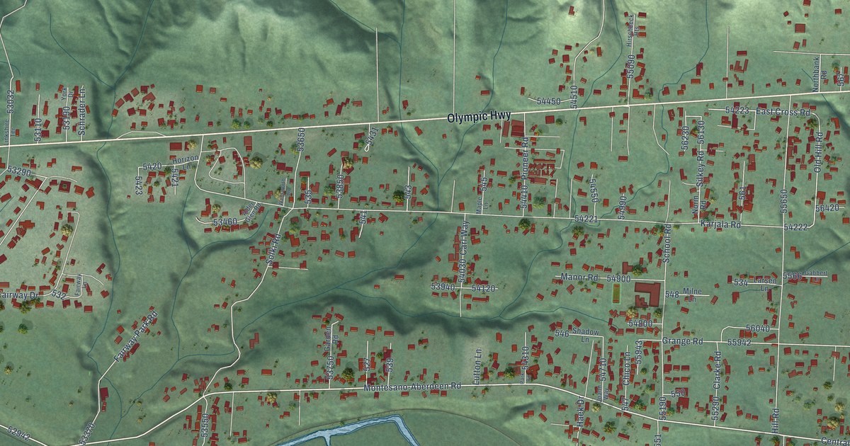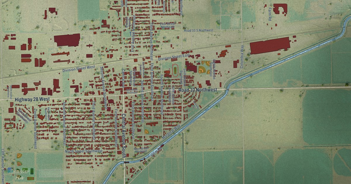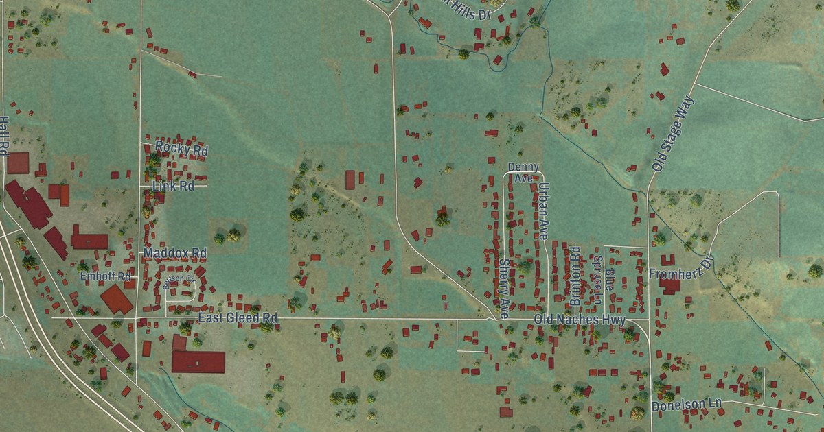
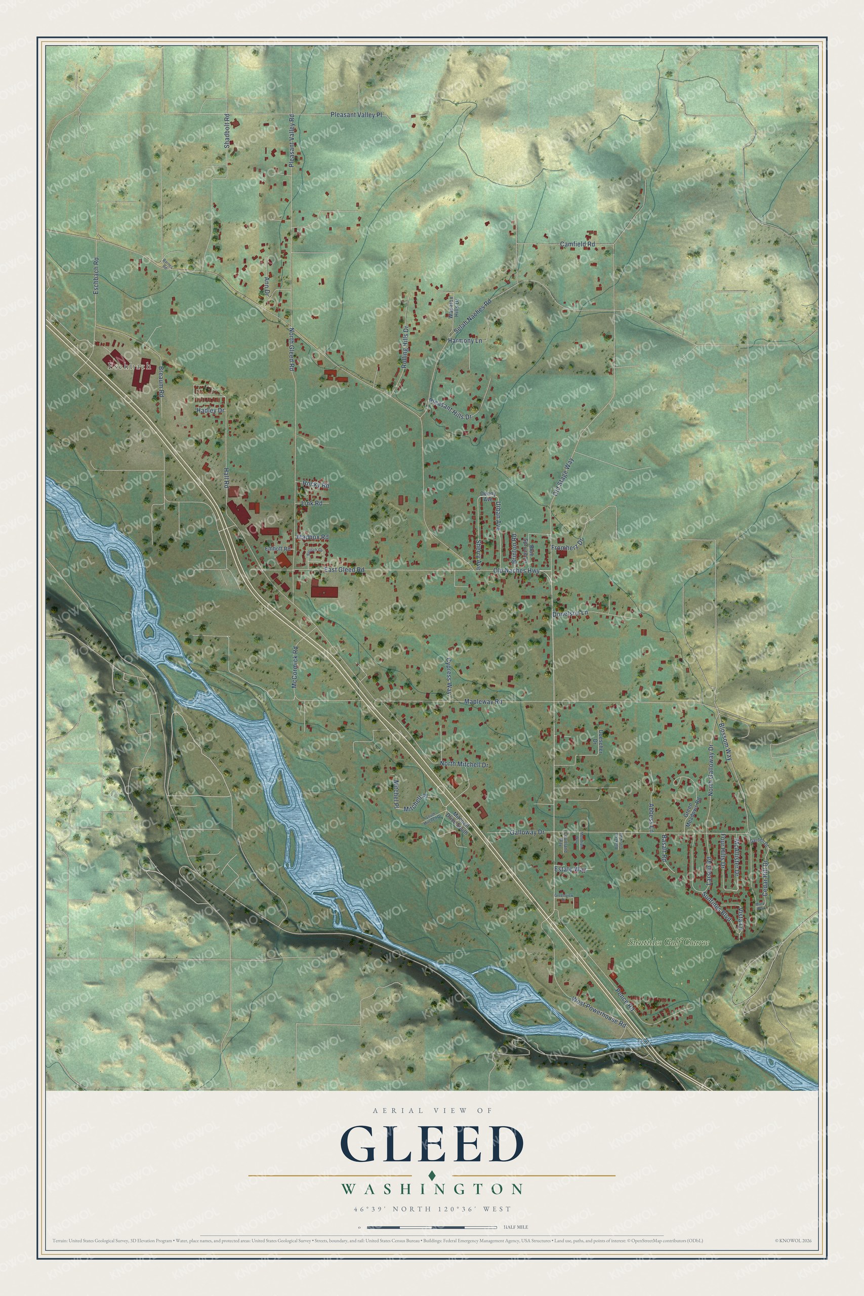
This beautifully detailed map of Gleed, Washington was created in 2026 using aerial imagery combined with modern topographical, census, street and landmark data. It's a modern aerial view of Gleed in Yakima County, Washington, that combines modern data with a vintage aesthetic. The roads feature printed names, and if you look closely you can find your exact house accurately shown in its correct location.
Explore an aerial view of Gleed, Washington
On this map you'll find Eschbach, Suntides Golf Course, Old Naches Highway, McCormick Road, Mitchell Place, Mapleway Road, Old Stage Way, Selah Naches Road, North Gleed Road, Galloway Drive, Pleasant Valley Place, East Gleed Road, and more. Each red shape is a building, so zoom in on the preview and look for yours.
Here is a piece of Gleed history. James Gleed, a Civil War veteran, brought his family west by covered wagon, and by 1879 he had picked a homestead on higher, drier land up the Naches River. In 1881 he surveyed and built a canal for the company later called the Gleed Canal Company. The six-mile canal eventually carried water to 3,500 acres in the lower Naches area. Gleed also planted a wooded lot of thousands of trees. It became a favorite resting place for travelers, including Yakama chief Saluskin and his family on their way west to mountain huckleberry and salmon fishing sites. That's from the National Register of Historic Places.
Gleed is a community in Yakima County. The Census Bureau counted 2,873 people here in 2020. Gleed sits about 3 miles west of Selah, 5 miles northeast of Summitview and 5 miles east of Cowiche. The map prints the town name in its title panel, with the coordinates below it.
Take a closer look at the Gleed map
Names on this map
These names are printed on this map.
Places: Eschbach and Suntides Golf Course.
Streets and roads: Old Naches Highway, McCormick Road, Mitchell Place, Mapleway Road, Old Stage Way, Selah Naches Road, North Gleed Road, Galloway Drive, Pleasant Valley Place, East Gleed Road, Blossom Way, Pleasant Valley Road.
More street names, A to Z
Abbess Lane, Ann Drive, Barnes Road, Basalt Road, Bertsch Circle, Blue Spruce Lane, Breaum Road, Brinton Road, Buckskin Creek Road, Camfield Road, Cedar Hill Drive, Courtland Way, Cypress Way, Denny Avenue, Doescher Drive, Donelson Lane, Emhoff Road, Eschbach Road, Estate Way, Four Hills Drive, Fromherz Drive, Garden Drive, Green Meadows Road, Greenview Drive, Hadley Drive, Hall Road, Harmony Lane, Larson Road, Link Road, Maddox Road, Mary Way, McAllister Drive, Meridian Way, Mitchell Drive South, Mitchel Place, North Galloway Drive, North Mitchell Drive, Pence Road, Pleasant Hills Drive, Rocky Road, Rolling Hills Drive, Shadbolt Road, Sherry Avenue, South Mitchell Drive, Suntides Boulevard, Urban Avenue, Vista Lane, Wapatox Hills Drive, West Powerhouse Road.
See it on a wall
The Gleed map as a framed print. Swipe for more.


Created by KNOWOL in 2026. The buildings are small red shapes, the roads carry their printed names, and shaded relief shows the shape of the land. The title panel reads "AERIAL VIEW OF GLEED, WASHINGTON" with 46°39' NORTH 120°36' WEST.
It suits a den, a classroom or a front hall, and it makes a gift for anyone with Gleed roots. Open the preview and find the block you know. See sizes and frames for the Gleed map.