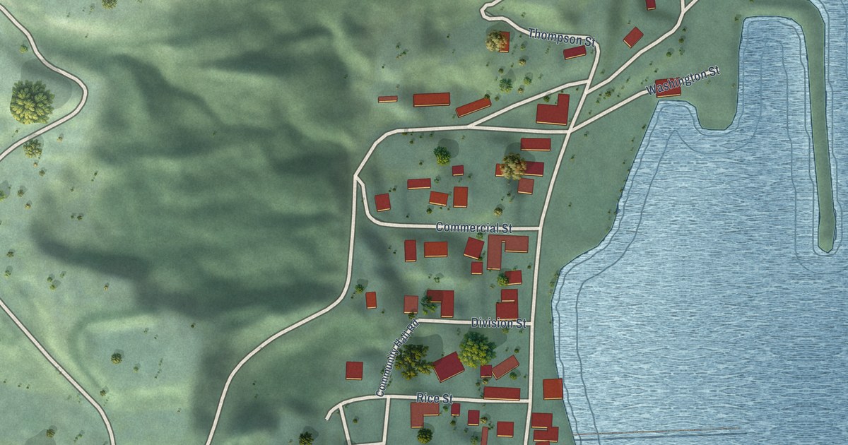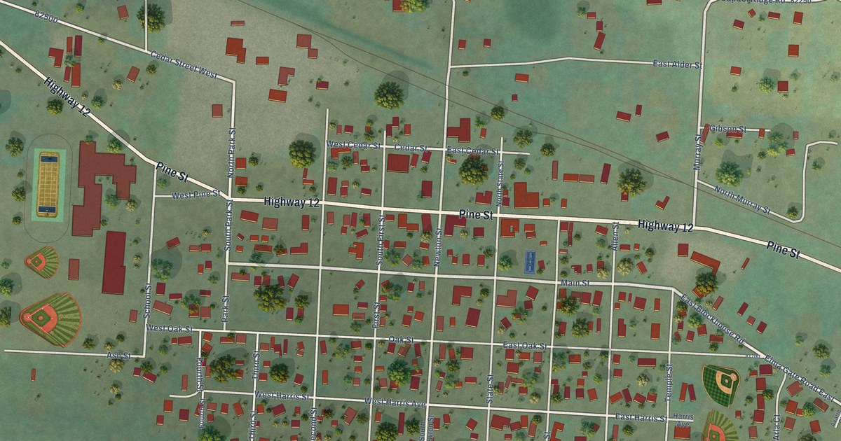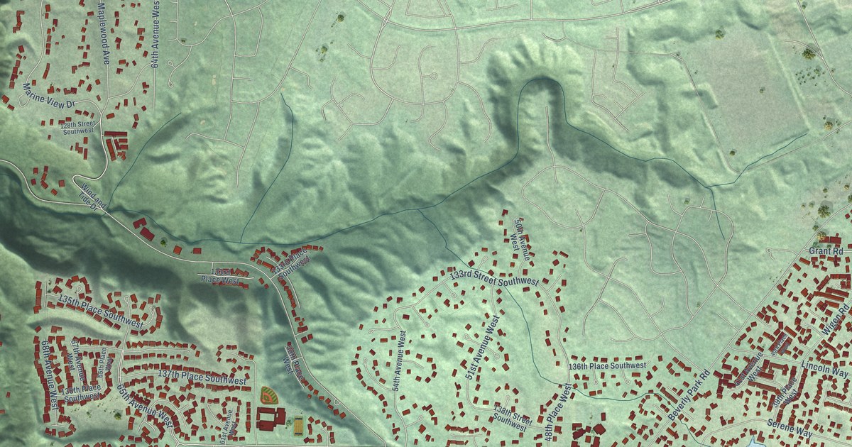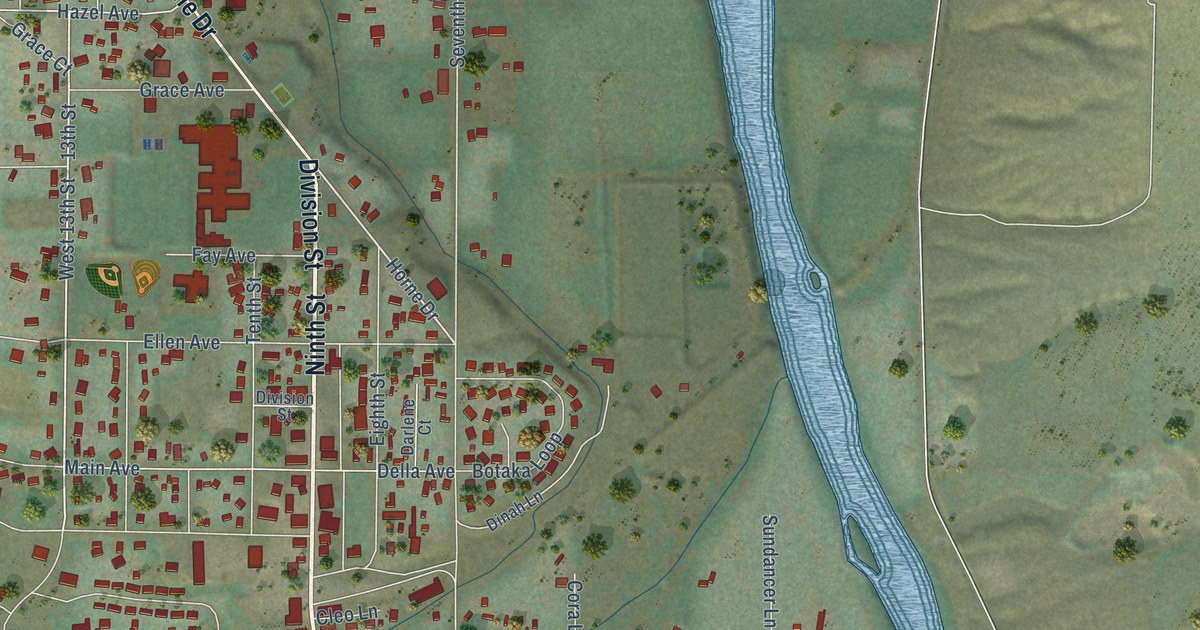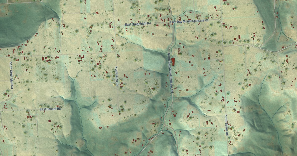
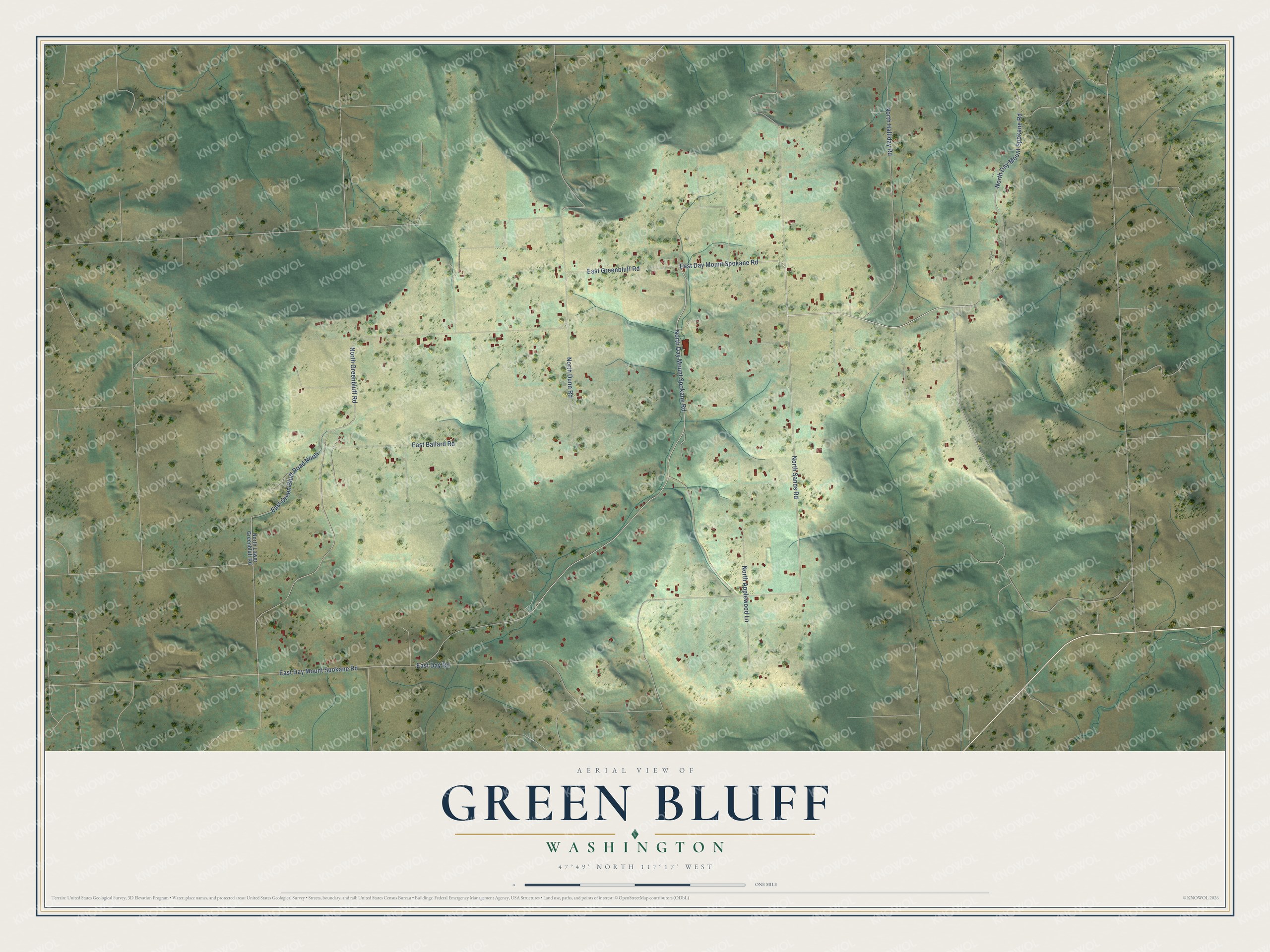
This beautifully detailed map of Green Bluff, Washington was created in 2026 using aerial imagery combined with modern topographical, census, street and landmark data. It's a modern aerial view of Green Bluff in Spokane County, Washington, that combines modern data with a vintage aesthetic. The roads feature printed names, and if you look closely you can find your exact house accurately shown in its correct location.
Explore an aerial view of Green Bluff, Washington
On this map you'll find East Day Mount Spokane Road, North Day Mount Spokane Road, North Sands Road, North Greenbluff Road, East Greenbluff Road, East Day Road, North Dunn Road, North Halliday Road, East Green Bluff Road North, North Applewood Lane, East Ballard Road, North Lower Greenbluff Road, and more. Each red shape is a building, so zoom in on the preview and look for yours.
Here is a piece of Green Bluff history. Green Bluff has grown fruit, berries and vegetables since the early 1900s, when farmers shipped their produce by rail from a nearby station to customers as far away as the Eastern cities. Many a Green Bluff Wagner apple went to Chicago, to German immigrants who were especially fond of that variety. When the wholesale market fell away, the growers turned to roadside stands, U-pick fields and festivals that bring families out to the bluff. That's from the Washington State Magazine.
Green Bluff is a community in Spokane County. The Census Bureau counted 697 people here in 2020.
Take a closer look at the Green Bluff map
Names on this map
These names are printed on this map.
Streets and roads: East Day Mount Spokane Road, North Day Mount Spokane Road, North Sands Road, North Greenbluff Road, East Greenbluff Road, East Day Road, North Dunn Road, North Halliday Road, East Green Bluff Road North, North Applewood Lane, East Ballard Road and North Lower Greenbluff Road.
See it on a wall
The Green Bluff map as a framed print. Swipe for more.


Created by KNOWOL in 2026. The buildings are small red shapes, the roads carry their printed names, and shaded relief shows the shape of the land. The title panel reads "AERIAL VIEW OF GREEN BLUFF, WASHINGTON" with 47°49' NORTH 117°17' WEST.
It suits a den, a classroom or a front hall, and it makes a gift for anyone with Green Bluff roots. Open the preview and find the block you know. See sizes and frames for the Green Bluff map.