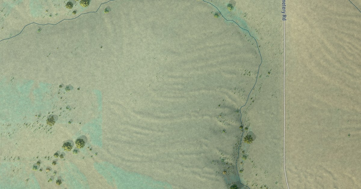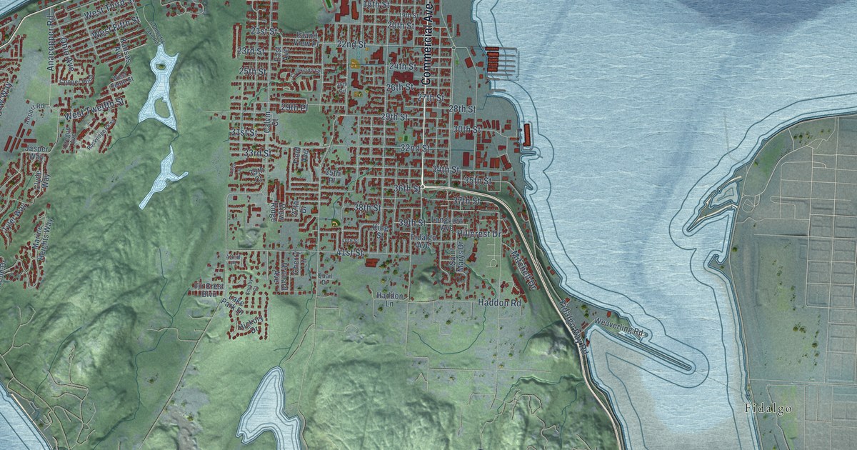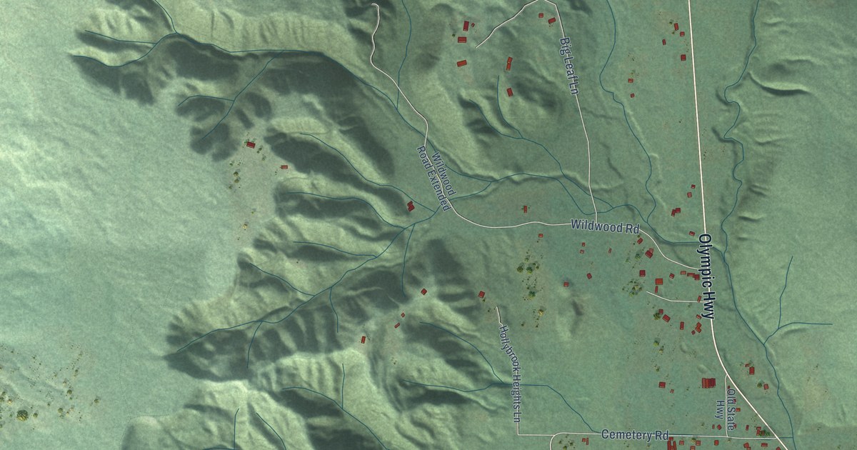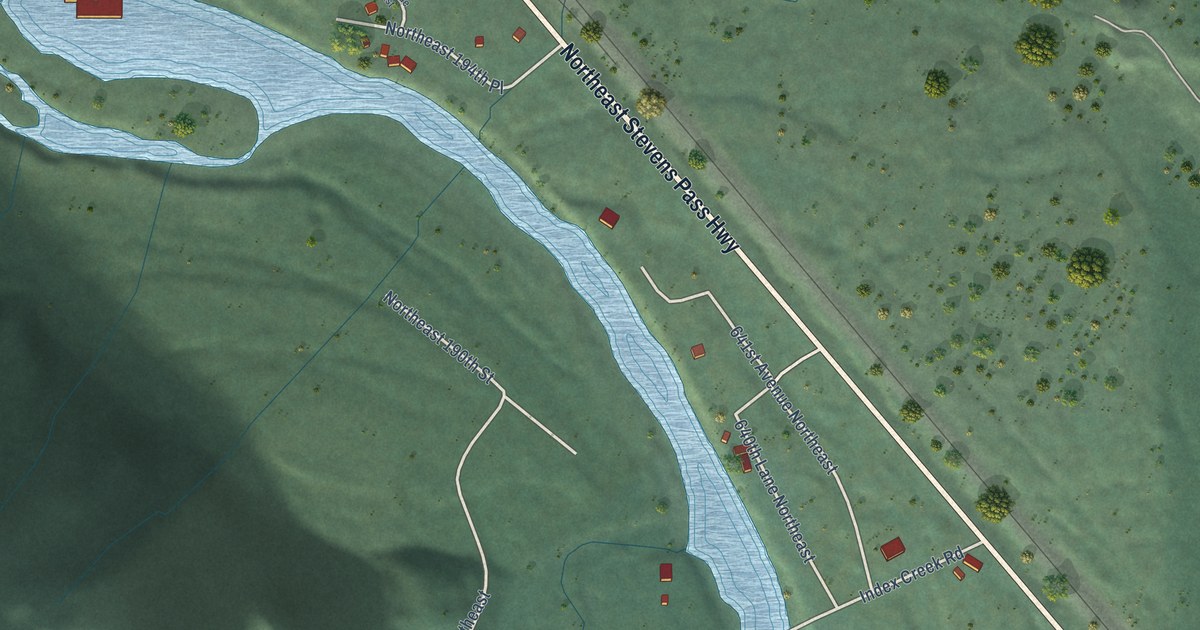
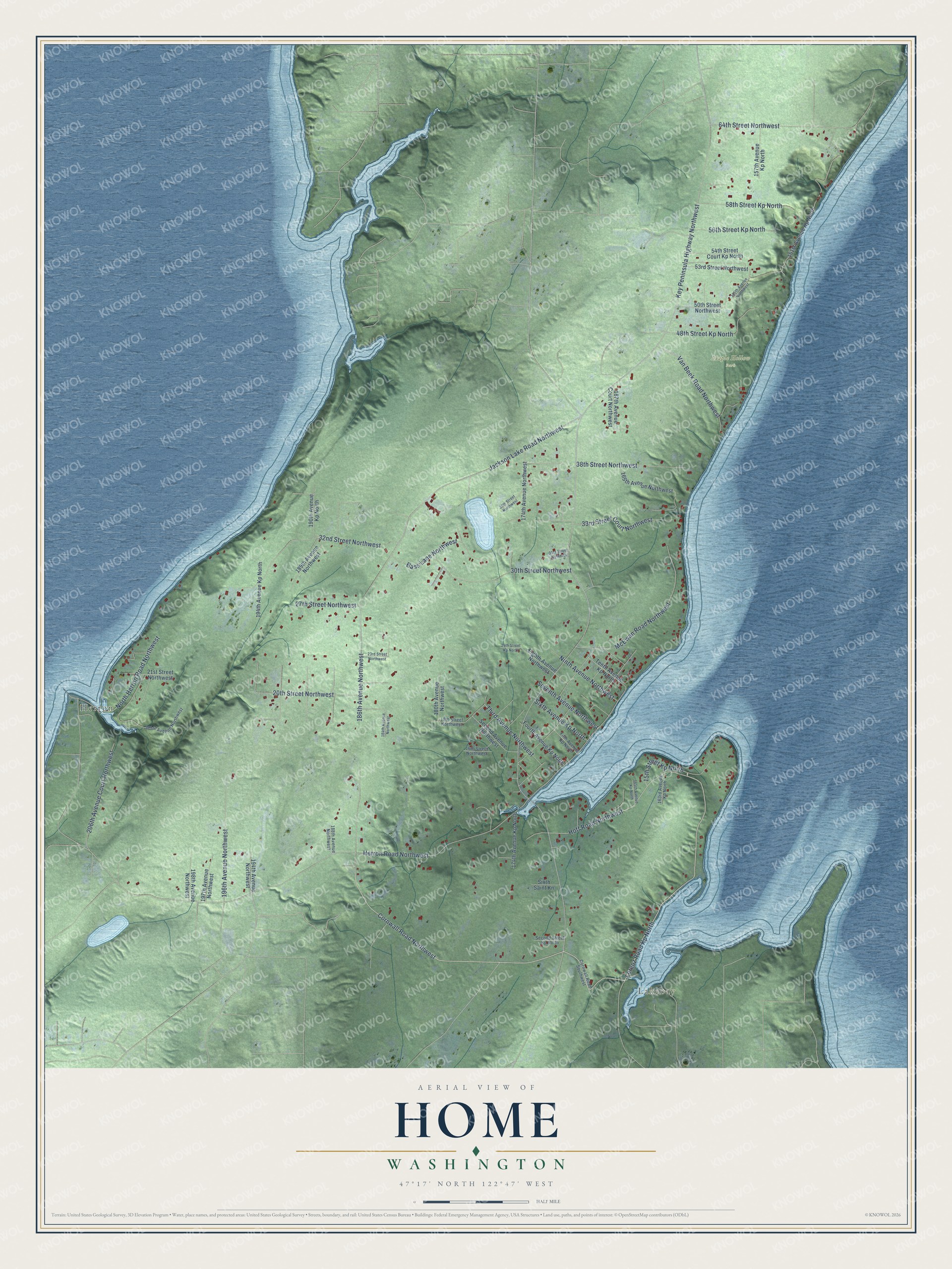
This beautifully detailed map of Home, Washington was created in 2026 using aerial imagery combined with modern topographical, census, street and landmark data. It's a modern aerial view of Home in Pierce County, Washington, that combines modern data with a vintage aesthetic. The roads feature printed names, and if you look closely you can find your exact house accurately shown in its correct location.
Explore an aerial view of Home, Washington
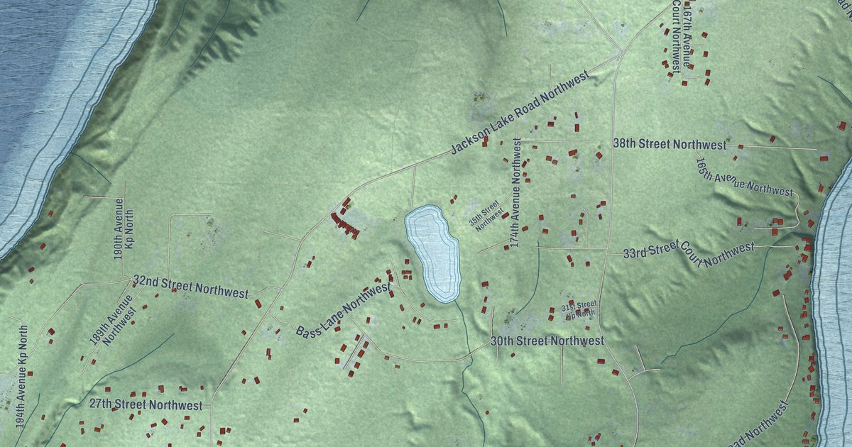
On this map you'll find Lakebay, Herron, Maple Hollow Park, Lorenz Road Kp North, Cornwall Road Northwest, Hoff Road Northwest, Jackson Lake Road Northwest, Key Peninsula Highway Northwest, Herron Road Northwest, 186th Avenue Northwest, McEwan Road Northwest, 32nd Street Northwest, and more. Each red shape is a building, so zoom in on the preview and look for yours.
Here is a piece of Home history. Home was founded by three families who came from a failing communal settlement in the Cascade Mountains. They chose the site in 1896, set on a place where tolerance and independence would rule, and in 1898 they formed the Mutual Home Association, which gave each new member up to two acres. Well known radicals came to the remote settlement, among them Emma Goldman and William Z. Foster. After a celebrated 1901 trial over writings sent through the mail, the town lost its post office. That's from the National Register of Historic Places.
Home is a community in Pierce County. The Census Bureau counted 1,543 people here in 2020.
Take a closer look at the Home map
See it on a wall
The Home map as a framed print. Swipe for more.


Created by KNOWOL in 2026. The buildings are small red shapes, the roads carry their printed names, and shaded relief shows the shape of the land. The title panel reads "AERIAL VIEW OF HOME, WASHINGTON" with 47°17' NORTH 122°47' WEST.
It suits a den, a classroom or a front hall, and it makes a gift for anyone with Home roots. Open the preview and find the block you know. See sizes and frames for the Home map.