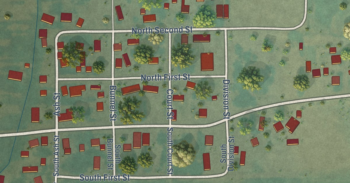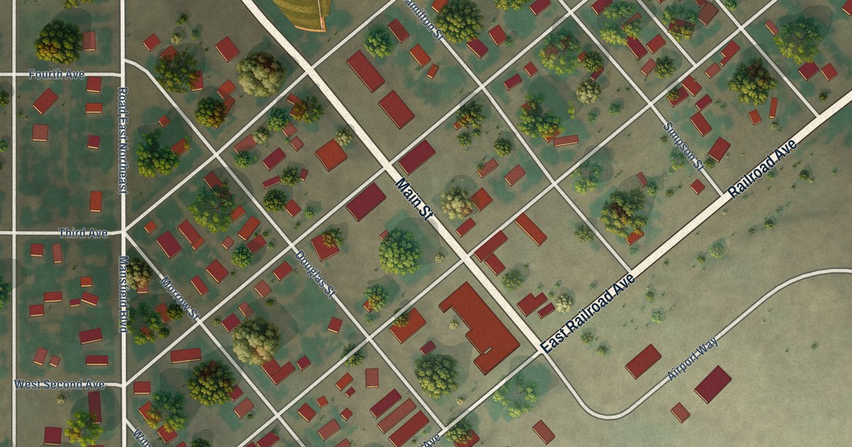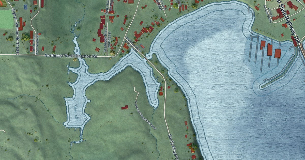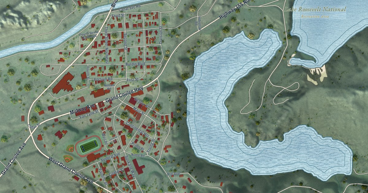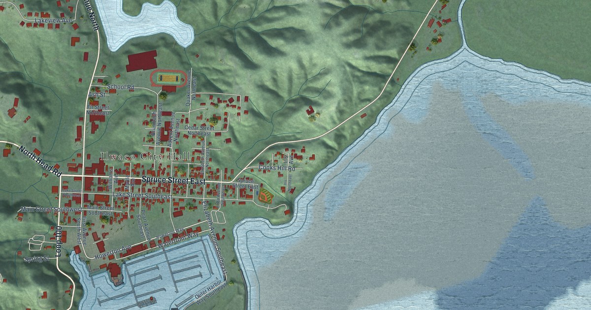
This beautifully detailed map of Ilwaco, Washington was created in 2026 using aerial imagery combined with modern topographical, census, street and landmark data. It’s a one-of-a-kind view of Ilwaco that combines accurate data with a vintage aesthetic. The map shows every building in its true location, many of the roads carry their names, and the shaded topographic relief shows the shape of the land.
Explore an aerial view of Ilwaco, Washington
On the map you’ll find Ilwaco City Hall, Cape Disappointment State Park, Loop 100, and Klahanee Place, along with North Head Road, Robert Gray Drive, First Avenue North, Spruce Street East, Howerton Avenue, Discovery Drive, Lighthouse Keepers Road, Elizabeth Avenue Southeast, and more. If you look closely you can even find your house accurately drawn in its correct location. Zoom in on the preview to look for yours.
Did you know this piece of Ilwaco, Washington history?
Henry Feister became the first settler in 1851, when the place was called Unity. The city later took the name of Elwahko Jim, a Lower Chinook leader. He was the son-in-law of Chief Comcomly. Ilwaco became an incorporated city on December 16, 1890.
Take a closer look at the Ilwaco map
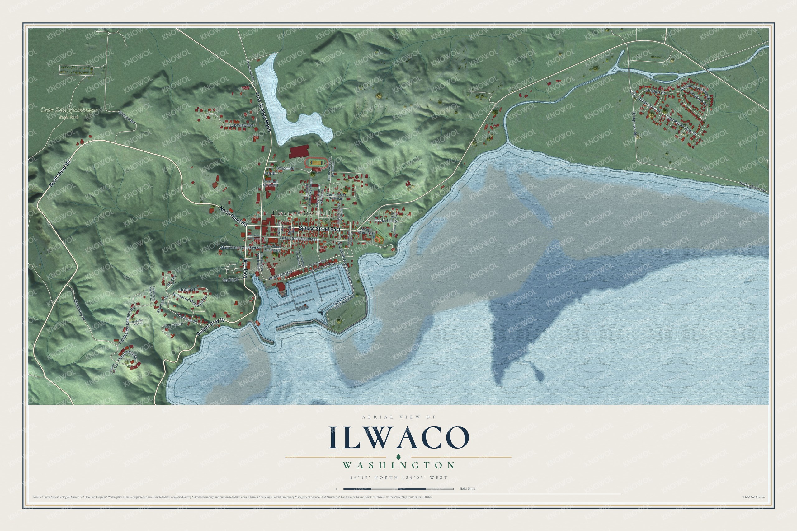
Street and place names on the Ilwaco, Washington map
These names are printed on the map of Ilwaco, Washington.
Places: Ilwaco City Hall and Cape Disappointment State Park.
Streets and roads: North Head Road, Robert Gray Drive, Loop 100, First Avenue North, Spruce Street East, Howerton Avenue, Discovery Drive, Lighthouse Keepers Road, Elizabeth Avenue Southeast, Klahanee Place, Stringtown Road, Lake Street Southeast.
More street names, A to Z
Advent Avenue Northeast, Ash Street, Brumbach Avenue Northeast, Capt Gray Drive, Capt Robert Gray Drive, Cedar Street Northeast, Cooks Hill Road, Discovery View Court, Eliza Avenue Southeast, Elizabeth Avenue Northeast, First Avenue South West, Fir Street Northeast, Hi Aqua Place, Hidden Trail End, Howerton Way, Iris Avenue, Iris Northeast, Lake Street Southwest, Lakeview Avenue, Lighthouse Keepers Court, Main Street Southeast, Main Street Southwest, Myrtle Avenue, Nesadi Drive Southwest, Ortelius Drive, Outer Harbor Way Southeast, Overlook Loop, Pearl Avenue Southeast, Peninsula Road, Quaker Avenue Northeast, Reservoir Road, Scarboro Drive, Scarboro Lane North, School Road, Spring Street, Stillingtown Road, Tum-Tum Drive, Waterfront Way, Wecoma Place, Williams Avenue, Willows Road.
See the Ilwaco, Washington map on a wall
The Ilwaco map as an 18 x 24 inch print in a black frame.

This beautifully detailed map of Ilwaco makes an attractive addition to your office, library, or den, and it can even be used to teach children the geography and history of the area. It also makes a great gift for someone who left Ilwaco and still calls it home. When you’re done exploring, click here to get your copy of the Ilwaco map.