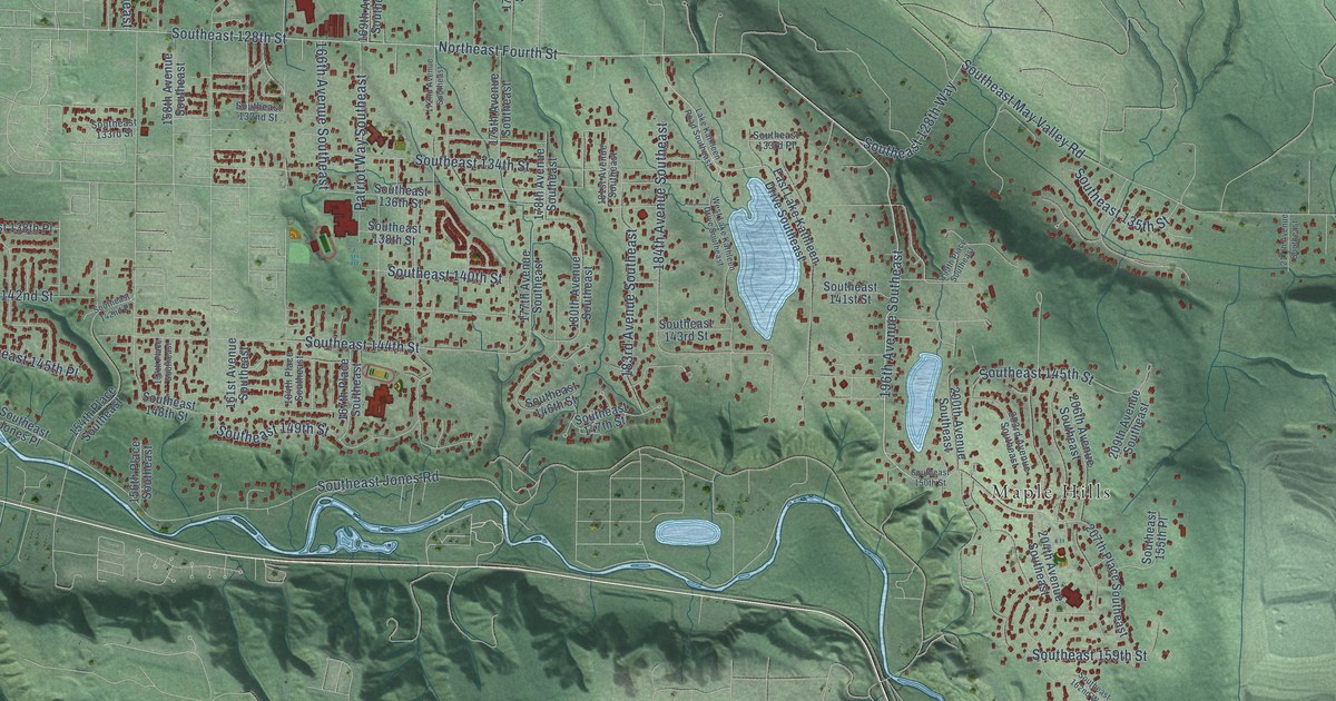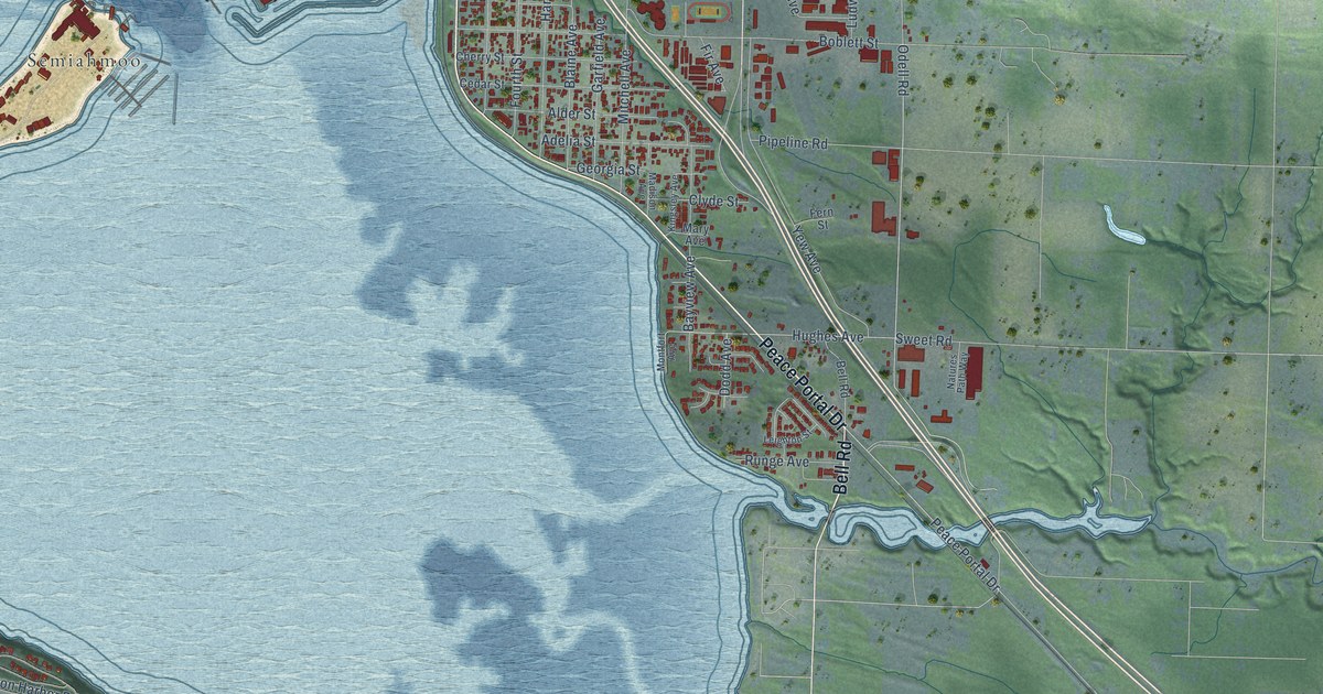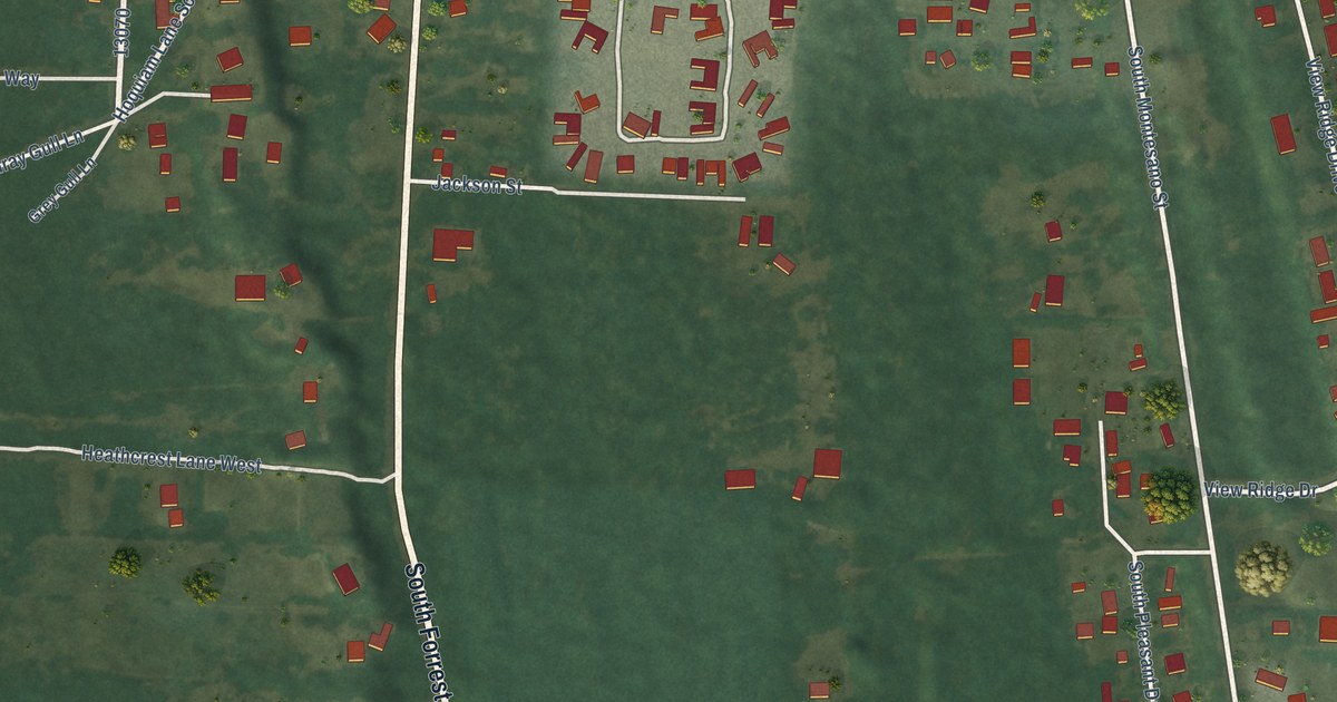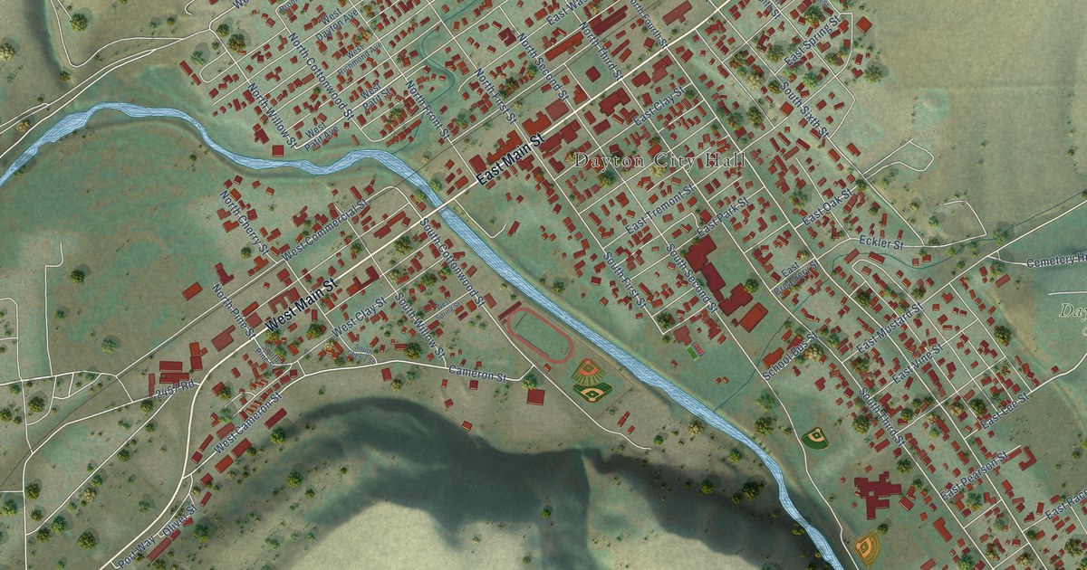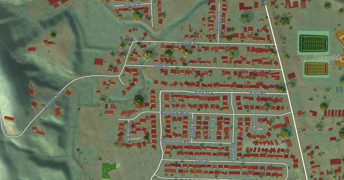
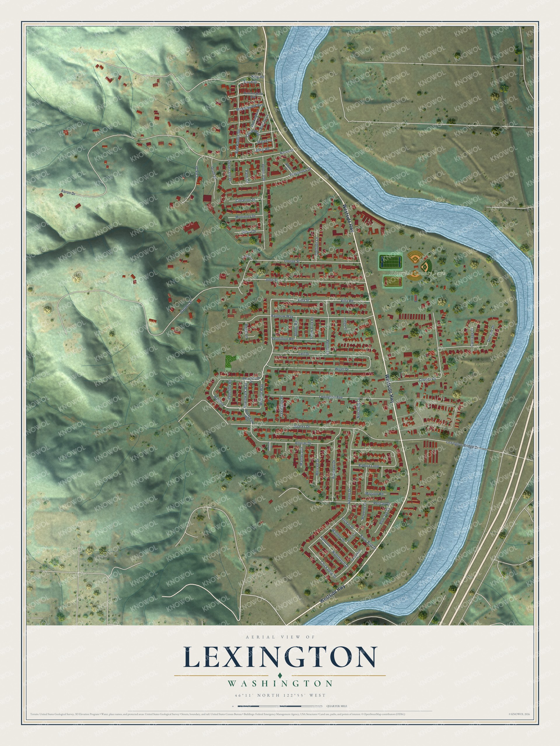
This beautifully detailed map of Lexington, Washington was created in 2026 using aerial imagery combined with modern topographical, census, street and landmark data. It's a modern aerial view of Lexington in Cowlitz County, Washington, that combines modern data with a vintage aesthetic. The roads feature printed names, and if you look closely you can find your exact house accurately shown in its correct location.
Explore an aerial view of Lexington, Washington
On this map you'll find Riverside County Park, Westside Highway, Red Robbin Road, Boardwalk Way, Wilshire, Finch Drive, Chickadee Drive, Garden Street, King Road, Sparks Drive, Aaron Street, Aaron Drive, and more. Each red shape is a building, so zoom in on the preview and look for yours.
Lexington is a community in Cowlitz County. The Census Bureau counted 3,834 people here in 2020. Lexington sits about 2 miles east of Longview Heights, 4 miles northeast of Longview and 5 miles north of Kelso. The map prints the town name in its title panel, with the coordinates below it.
Take a closer look at the Lexington map
Names on this map
These names are printed on this map.
Places: Riverside County Park.
Streets and roads: Westside Highway, Red Robbin Road, Boardwalk Way, Wilshire, Finch Drive, Chickadee Drive, Garden Street, King Road, Sparks Drive, Aaron Street, Aaron Drive, Rainbow Way.
More street names, A to Z
Abbey Road, Adams Drive, Alameda Drive, Aloha Drive, Alturas Drive, Balboa Loop, Blue Jay Court, Blue Jay Lane, Bobolink Lane, Broadwalk Way, Canvasback Drive, Carriage Court, Cimarron Drive, Circle Way, Cowlitz Drive, Daffodil Lane, Decatur Drive, Desert Inn Drive, Early Bird Drive, Flicker Drive, Groff Street, Hummingbird Avenue, Indigo Court, John Street, Lark Drive, Leif Drive, Lexington Avenue, Lexington Bridge Drive, Lexington Place, Louise Street, Manteca Drive, Meadowlark Avenue, Merced Drive, Mission Road, Mockingbird Lane, Modesto Drive, Monterey Drive, Niechelle Lane, Nighthatch Drive, Nightwatch Drive, Palm Drive, Pelican Drive, Penny Lane, Ponderosa Drive, Radcliffe Road, Regal Lane, Saratoga Lane, Sierra Drive, Skylark Lane, Ventura Drive, Vermillion Road, Villa Road, Villa Street, Warbler Drive, Waxwing Court, Westminster Drive, Wilshire Way, Wren Road, Wyatt Drive, Yellow Brick Road.
See it on a wall
The Lexington map as a framed print. Swipe for more.


Created by KNOWOL in 2026. The buildings are small red shapes, the roads carry their printed names, and shaded relief shows the shape of the land. The title panel reads "AERIAL VIEW OF LEXINGTON, WASHINGTON" with 46°11' NORTH 122°55' WEST.
It looks right in a kitchen, an office or a den, and it's a gift for anyone who grew up in Lexington or moved away. Open the preview and find your street. See sizes and frames for the Lexington map.