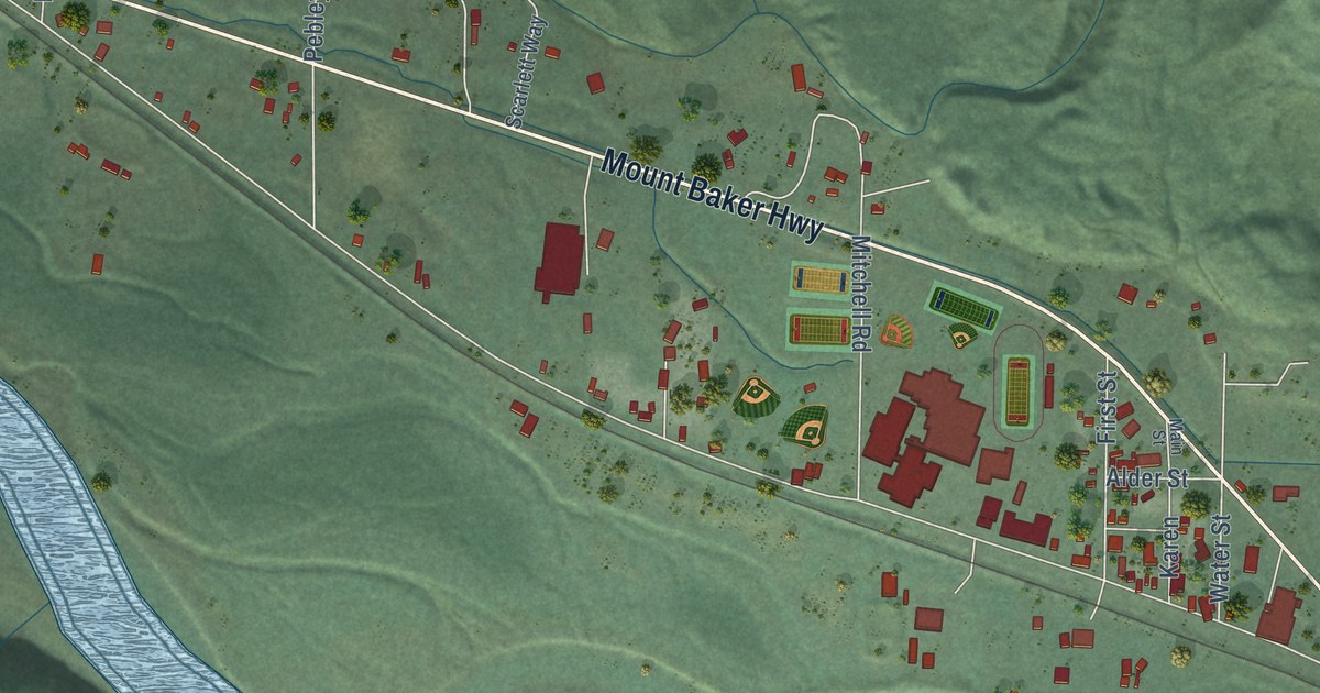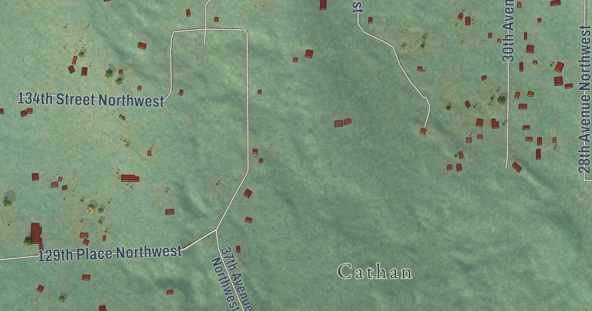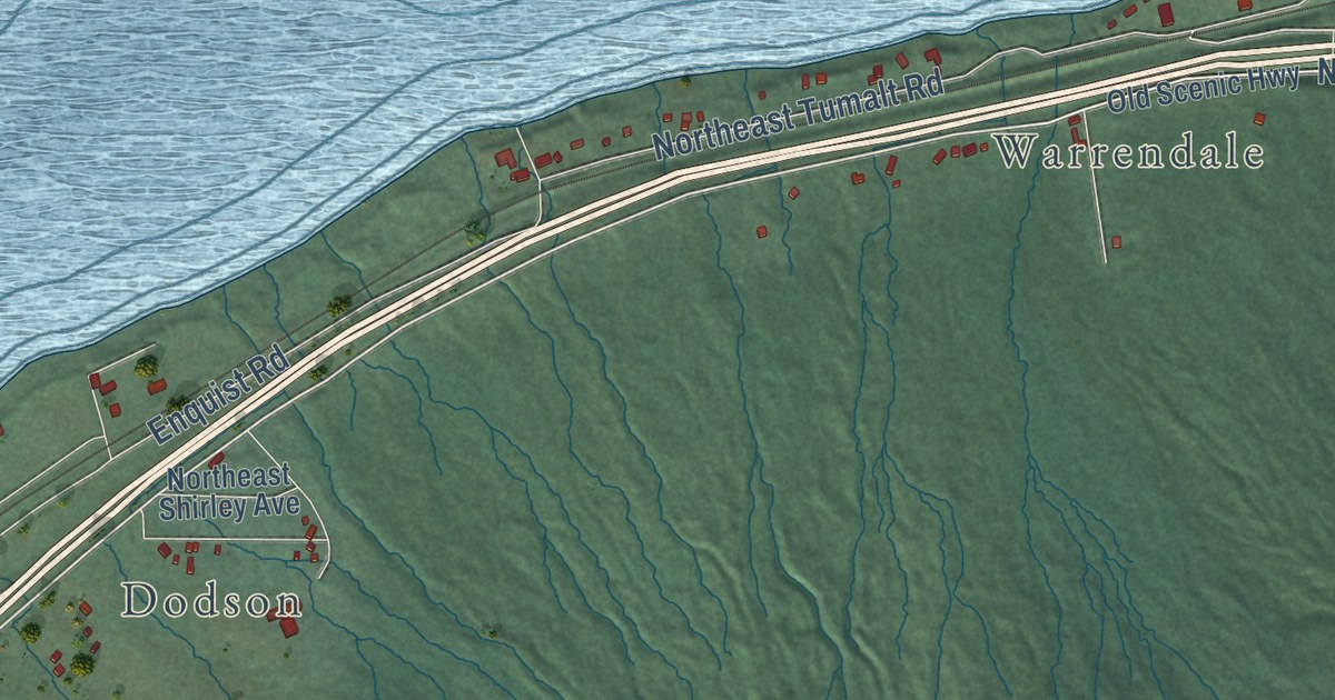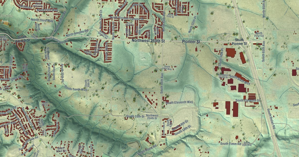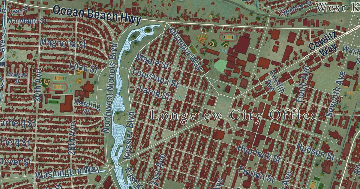
This beautifully detailed map of Longview, Washington was created in 2026 using aerial imagery combined with modern topographical, census, street and landmark data. It’s a one-of-a-kind view of Longview that combines accurate data with a vintage aesthetic. The map shows every building in its true location, many of the roads carry their names, and the shaded topographic relief shows the shape of the land.
Explore an aerial view of Longview, Washington
On the map you’ll find Longview City Office, Columbia Valley Gardens, West Kelso, and West Longview, along with Mount Solo Road, Industrial Way, Westside Highway, Third Avenue, Tennant Way, Ocean Beach Highway, First Avenue, Washington Way, and more. If you look closely you can even find your house accurately drawn in its correct location. Zoom in on the preview to look for yours.
Did you know this piece of Longview, Washington history?
From the 2024 HistoryLink.org essay: "Longview's principal function was to support a giant lumber mill that Long-Bell planned to construct on the 14,000-acre town site."
Take a closer look at the Longview map
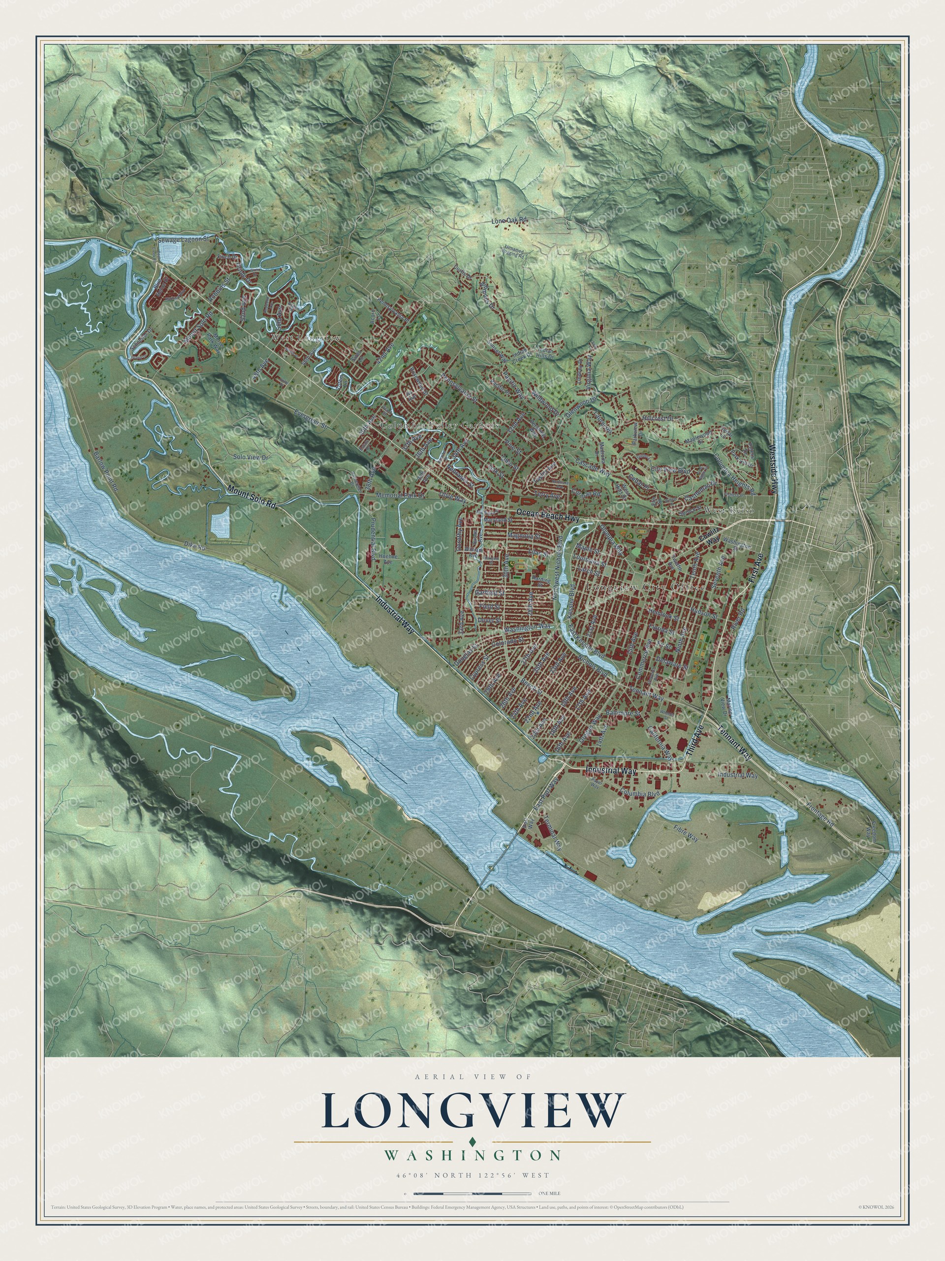
Street and place names on the Longview, Washington map
These names are printed on the map of Longview, Washington.
Places: Longview City Office, West Longview, West Kelso and Columbia Valley Gardens.
Streets and roads: Westside Highway, Mount Solo Road, Industrial Way, Third Avenue, Tennant Way, Ocean Beach Highway, First Avenue, Washington Way, Olympia Way, Oregon Way, 17th Avenue, Louisiana Street.
More street names, A to Z
14th Avenue, 15th Avenue, 16th Avenue, 18th Avenue, 19th Avenue, 20th Avenue, 21st Avenue, 22nd Avenue, 23rd Avenue, 24th Avenue, 25th Avenue, 26th Avenue, 27th Avenue, 28th Avenue, 29th Avenue, 30th Avenue, 32nd Avenue, 33rd Avenue, 34th Avenue, 35th Avenue, 36th Avenue, 37th Avenue, 38th Avenue, 40th Avenue, 42nd Avenue, 46th Avenue, 48th Avenue, 50th Avenue, 52nd Avenue, Acorn Lane, Ammons Drive, Aspen Drive, Baltimore Street, Barlow Point Road, Beech Street, Blue Heron Drive, California Way, Cascade Way, Castleman Drive, Cedar Lane, Cedar Place, City View Boulevard, Coal Creek Road, Colorado Street, Columbia Boulevard, Columbia Heights Road, Commerce Avenue, Corman Road, Cowlitz Way, Curtis Drive, Cypress Street, Delaware Street, Dike Road, Dorothy Avenue, Douglas Street, Dover Street, East Kessler Boulevard, East Port Way, Eleventh Avenue, Elm Street, Estate Drive, Evergreen Street, Fibre Way, Field Street, Finch Drive, Fir Street, Fishers Lane, Florida Street, Freedom Way, Frontage Road, Garfield Street, Gibbs Lane, Glenwood Drive, Harding Street, Hemlock Street, Heritage Boulevard, Hillcrest Drive, Hoehne Avenue, Hudson Street, Indian Creek Drive, Indian Hills Drive, Island Drive, Ivy Avenue, Jennifer Place, Julie Place, Kessler Boulevard, Larch Street, Laurel Road, Lilac Street, Lindsey Drive, Lone Oak Road, Madrona Drive, Magnolia Street, Maple Street, Maplewood Drive, Marigold Street, Marine View Drive, Maryland Street, Memorial Park Drive, Merlin Street, Michigan Street, Morse Park Way, Nebraska Street, Nichols Boulevard, Ninth Avenue, Northlake Avenue, Northwest Nichols Boulevard, Oak Street, Ohio Street, Olive Way, Oriole Drive, Pacific Place, Pacific Way, Paper Way, Park Hill Drive, Parkview Drive, Pennsylvania Place, Pennsylvania Street, Pershing Way, Peters Drive, Pine Street, Port Way, Prudential Boulevard, Redwood Avenue, River Road, Robbins Street, Rosewood Street, Rutherglen Drive, Schneiter Drive, Scott Street, Selix Lane, Seventh Avenue, Sewage Lagoon Street, Sires Lane, Solo View Drive, Spruce Street, Sunset Way, Susan Avenue, Taylor Avenue, Tenth Avenue, Terminal Way, Terry Avenue, Totem Lane, Twelfth Avenue, Unnamed Logging Road, View Ridge Circle, Virginia Way, Washington Street, West Hills Drive, Wheeler Street, Wildwood Drive, William Avenue, Willow Place, Wren Drive.
See the Longview, Washington map on a wall
The Longview map as an 18 x 24 inch print in a black frame.

This beautifully detailed map of Longview makes an attractive addition to your office, library, or den, and it can even be used to teach children the geography and history of the area. It also makes a great gift for someone who left Longview and still calls it home. When you’re done exploring, click here to get your copy of the Longview map.