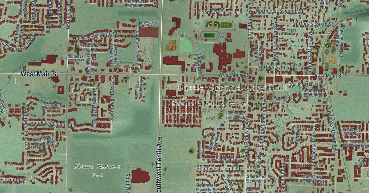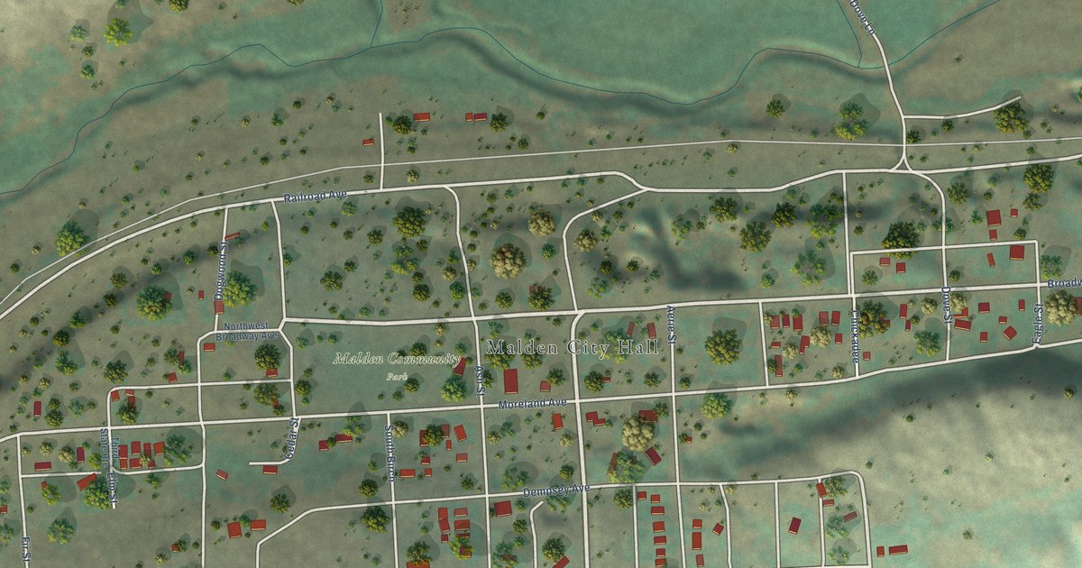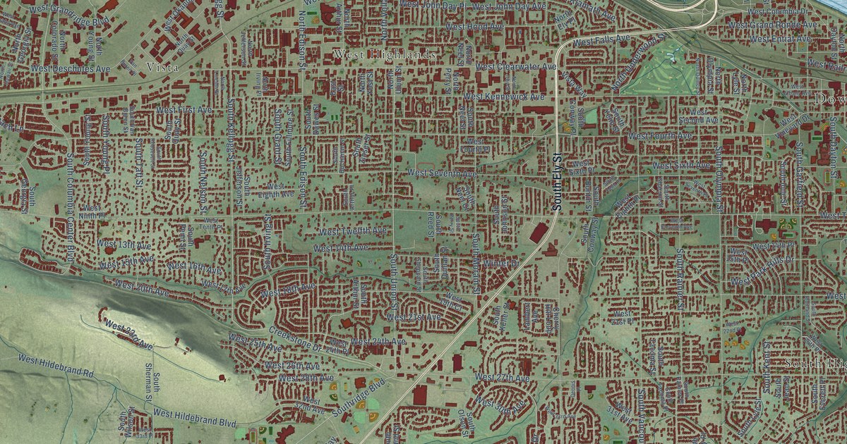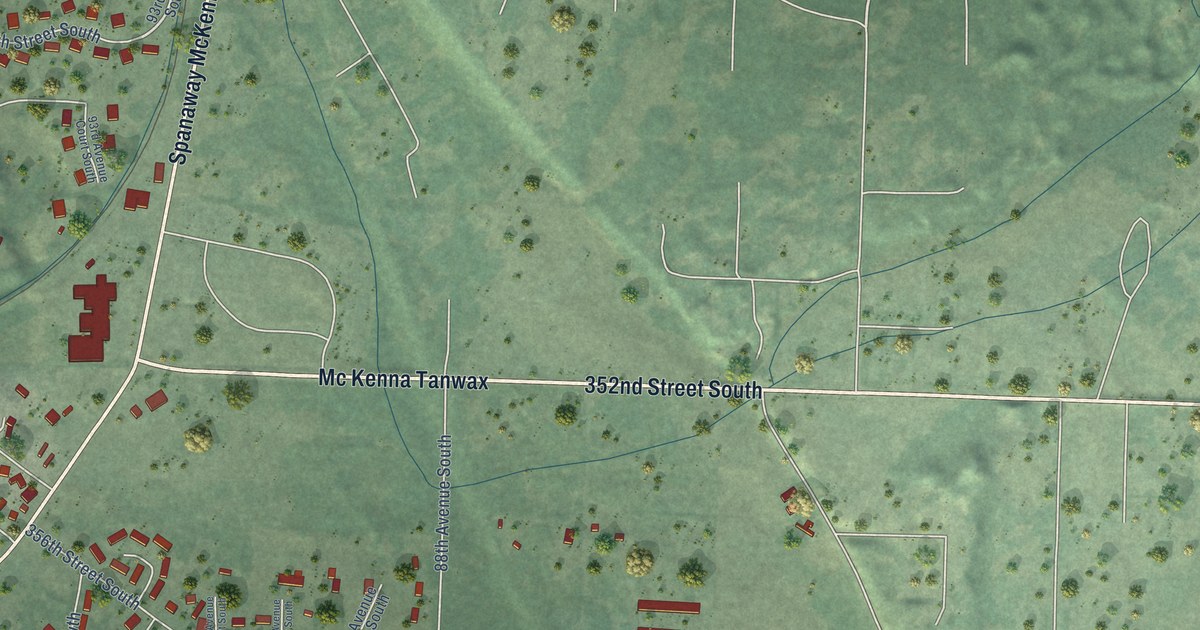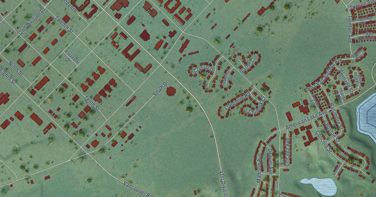
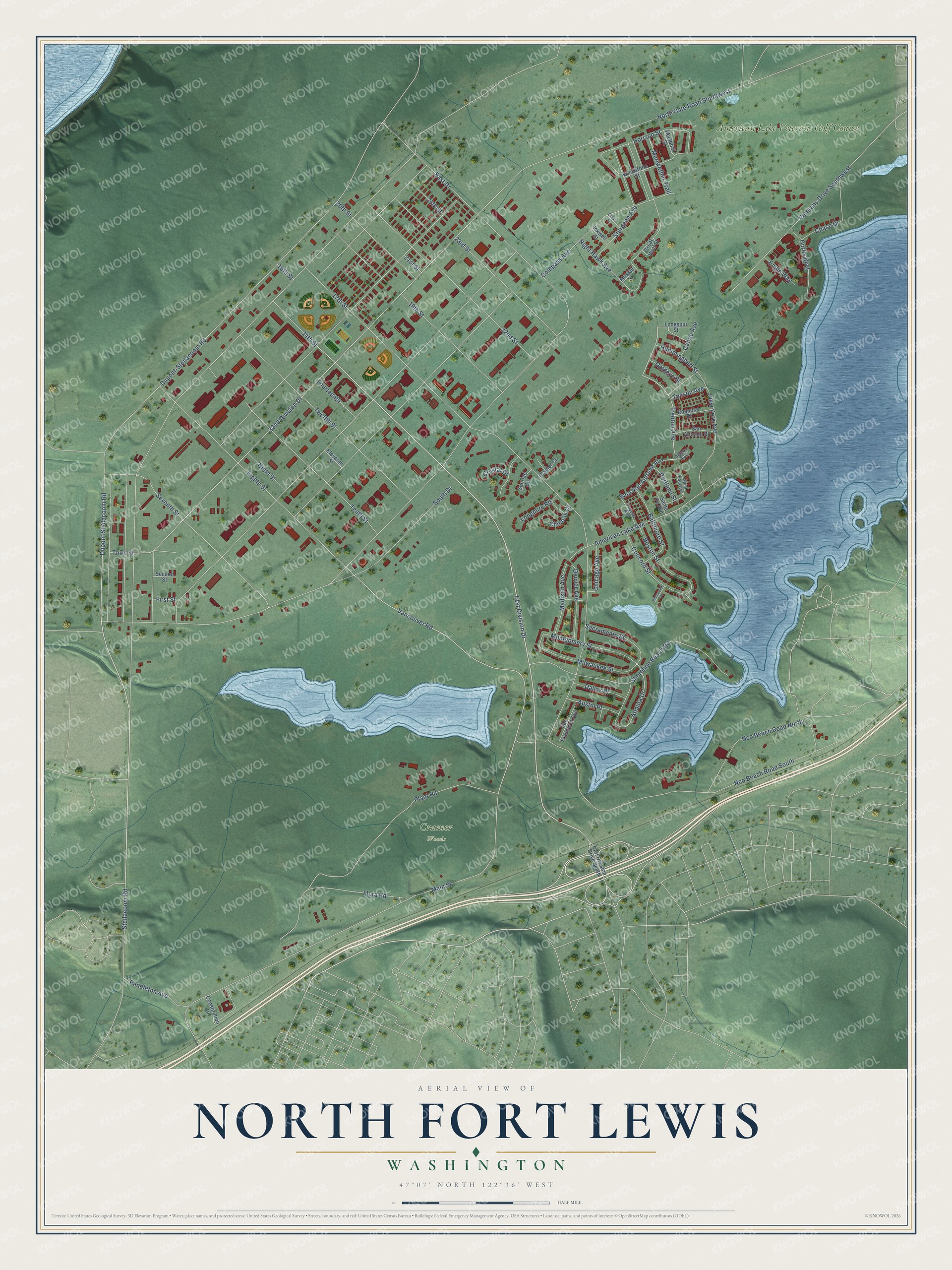
This beautifully detailed map of North Fort Lewis, Washington was created in 2026 using aerial imagery combined with modern topographical, census, street and landmark data. It's a modern aerial view of North Fort Lewis in Pierce County, Washington, that combines modern data with a vintage aesthetic. The roads feature printed names, and if you look closely you can find your exact house accurately shown in its correct location.
Explore an aerial view of North Fort Lewis, Washington
On this map you'll find Cramer Woods, American Lake Veterans Golf Course, 41st Division Drive, Sma Van Autreve Avenue, Dupont Steilacoom Road, 32nd Division Drive, Vancouver Road, Meriwether Trail, Trenton Avenue, Dupont-Steilacoom Road, Main Street, 17th Street, and more. Each red shape is a building, so zoom in on the preview and look for yours.
Here is a piece of North Fort Lewis history. In 1941 soldiers of the 186th Infantry moved into the barracks of the 41st Cantonment at North Fort Lewis. Photographer Fred Hill recorded the move, and his World War II photographs are kept by Eastern Oregon University. That's from the Eastern Oregon University Digital Archives.
North Fort Lewis is a community in Pierce County. The Census Bureau counted 5,978 people here in 2020.
Take a closer look at the North Fort Lewis map
Names on this map
These names are printed on this map.
Places: Cramer Woods and American Lake Veterans Golf Course.
Streets and roads: 41st Division Drive, Sma Van Autreve Avenue, Dupont Steilacoom Road, 32nd Division Drive, Vancouver Road, Meriwether Trail, Trenton Avenue, Dupont-Steilacoom Road, Main Street, 17th Street, American Lake Avenue, South Drive.
More street names, A to Z
14th Street, 16th Street, 19th Street, 20th Street, 21st Street, 22nd Street, 23rd Street, 24th Street, 41st Division Drive South, Alaska Avenue, Atlanta Drive, Austin Place, Baltimore Street, Boston Street, Canoe Avenue, Chase Drive, Chicago Avenue, Chinook Court, Compass Avenue, Concord Street, Constitution Drive, Crystal Drive, Curtis Boulevard, Dallas Place, Denver Avenue, East Drive, Eighth Street, Eleventh Street, Engle Way, First Street, Flora Road, Fourteenth, Glacier Court, Glass Street, Goldeye Street, Great Wolf Street, Horizon Street, Hummingbird Street, Inkwell Street, Keelboat Street, Longmire Road, Longspur Street, Madison Avenue, Milwaukee Street, Montgomery Street, Musket Street, Nco Beach Road North, Nco Beach Road South, New York Avenue, Night Hawk Avenue, Ninth Street, North Gate Road Southwest, Pendleton Avenue, Plant Road, Portland Street, Richmond Place, Roanoke Place, Sacramento Street, Saint Paul Avenue, San Antonio Place, San Francisco Avenue, Santa Fe Avenue, Second Street, Seventh Street, Shoreline Beach Road, Steilacoom Road, Sturgeon Avenue, Sunrise Circle, Tenth Street, Third Street, Topeka Avenue, Tucson Avenue, Twelfth Street, Veterans Drive Southwest, Whetstone Street.
See it on a wall
The North Fort Lewis map as a framed print. Swipe for more.


Created by KNOWOL in 2026. The buildings are small red shapes, the roads carry their printed names, and shaded relief shows the shape of the land. The title panel reads "AERIAL VIEW OF NORTH FORT LEWIS, WASHINGTON" with 47°07' NORTH 122°36' WEST.
It suits a den, a classroom or a front hall, and it makes a gift for anyone with North Fort Lewis roots. Open the preview and find the block you know. See sizes and frames for the North Fort Lewis map.