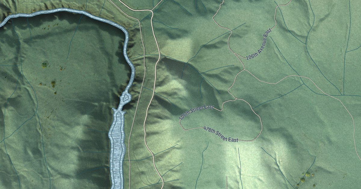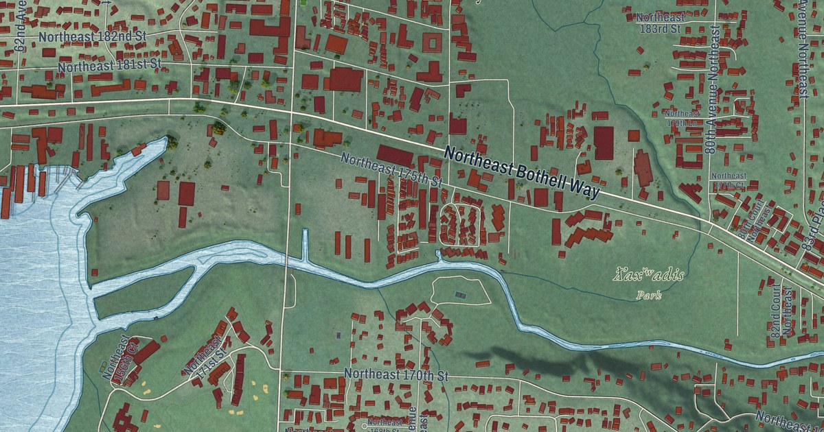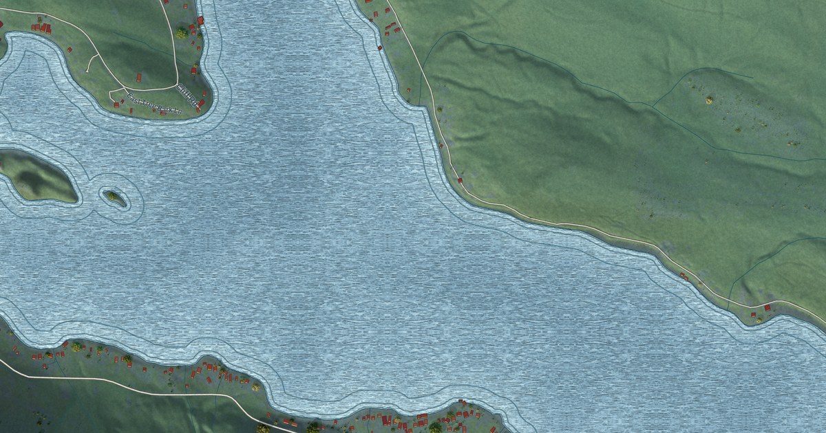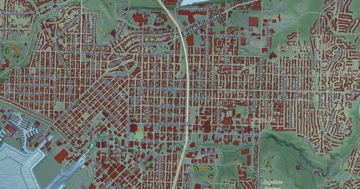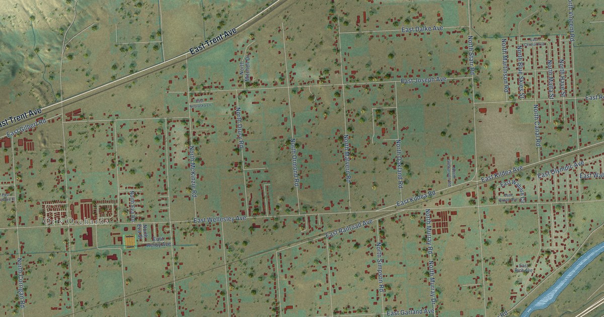
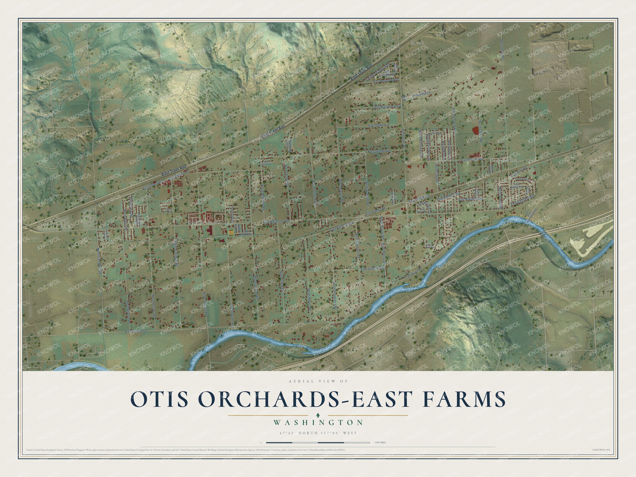
This beautifully detailed map of Otis Orchards-East Farms, Washington was created in 2026 using aerial imagery combined with modern topographical, census, street and landmark data. It's a modern aerial view of Otis Orchards-East Farms in Spokane County, Washington, that combines modern data with a vintage aesthetic. The roads feature printed names, and if you look closely you can find your exact house accurately shown in its correct location.
Explore an aerial view of Otis Orchards-East Farms, Washington
On this map you'll find Otis Orchards, East Farms, Moab, East Trent Avenue, North Karen Road, East Wellesley Avenue, East Euclid Avenue, North Starr Road, East Joseph Avenue, North Idaho Road, North Harvard Road, East Rowan Avenue, and more. Each red shape is a building, so zoom in on the preview and look for yours.
Otis Orchards-East Farms has a story worth telling. In 1903 Spokane attorney Mark F. Mendenhall's Spokane Canal Company finished a ditch from Newman Lake that watered 2,750 acres east of the city known as Otis Orchards. A booklet called Irrigation is King soon had railroad workers and doctors alike turning to horticulture. Otis Orchards outlasted every other apple district of the Spokane Valley apple boom. That's from the Spokane Historical project.
Otis Orchards-East Farms is a community in Spokane County. The Census Bureau counted 6,299 people here in 2020.
Take a closer look at the Otis Orchards-East Farms map
Names on this map
These names are printed on this map.
Places: Otis Orchards, East Farms and Moab.
Streets and roads: East Trent Avenue, North Karen Road, East Wellesley Avenue, East Euclid Avenue, North Starr Road, East Joseph Avenue, North Idaho Road, North Harvard Road, East Rowan Avenue, East River Road, North Arden Road, East Kildea Avenue.
More street names, A to Z
East Ante Road, East Appleway Avenue, East Broad Avenue, East Central Avenue, East Cordoba Avenue, East Dalke Avenue, East Eastland Avenue, East Eastland Drive, East Garland Avenue, East Gilbert Avenue, East Gilbert Road, East Heroy Avenue, East Kildea Road, East Nebraska Lane, East Olympic Avenue, East Olympic Court, East Queen Avenue, East Railroad Avenue, East Rich Avenue, East Rosewood Avenue, East Roxanne Avenue, East San Carlos Avenue, East Wabash Avenue, East Wabash Circle, North Ashton Road, North Billy Jack Street, North Blue Skies Street, North Campbell Road, North Canal Road, North Carol Street, North Chase Road, North Corrigan Road, North Darin Road, North Drury Road, North Estep Road, North Eva Road, North Eva Street, North Garry Road, North Glenarvon Road, North Haye Street, North Irrigon Street, North Kenney Road, North Lynden Road, North Malta Street, North Malvern Road, North Martinson Road, North McKinzie Road, North Mitchell Drive, North Molter Road, North Murray Drive, North Murray Road, North Oakland Road, North Ormond Road, North Powell Road, North Robin Road, North Simpson Road, North Snow Owl Road, North Stevenson Road, North Vincent Road, Rosewood Lane, Starr Road.
See it on a wall
The Otis Orchards-East Farms map as a framed print. Swipe for more.


Created by KNOWOL in 2026. The buildings are small red shapes, the roads carry their printed names, and shaded relief shows the shape of the land. The title panel reads "AERIAL VIEW OF OTIS ORCHARDS-EAST FARMS, WASHINGTON" with 47°42' NORTH 117°05' WEST.
It looks right in a kitchen, an office or a den, and it's a gift for anyone who grew up in Otis Orchards-East Farms or moved away. Open the preview and find your street. See sizes and frames for the Otis Orchards-East Farms map.