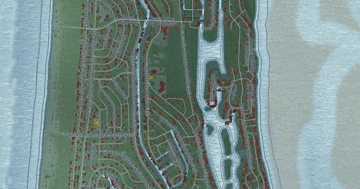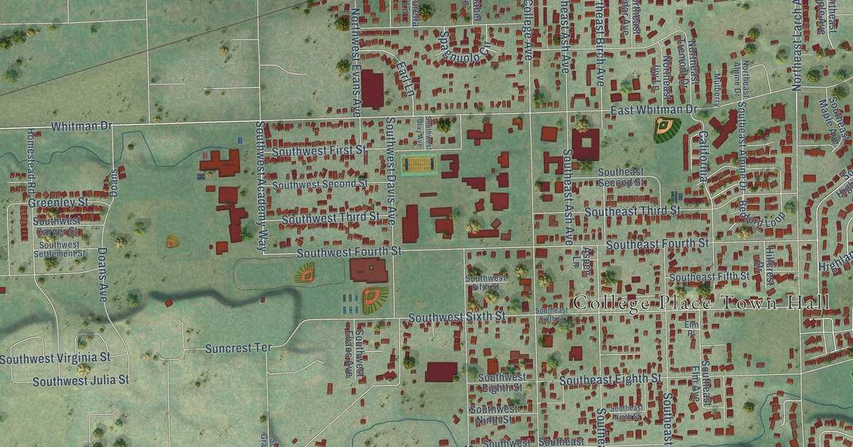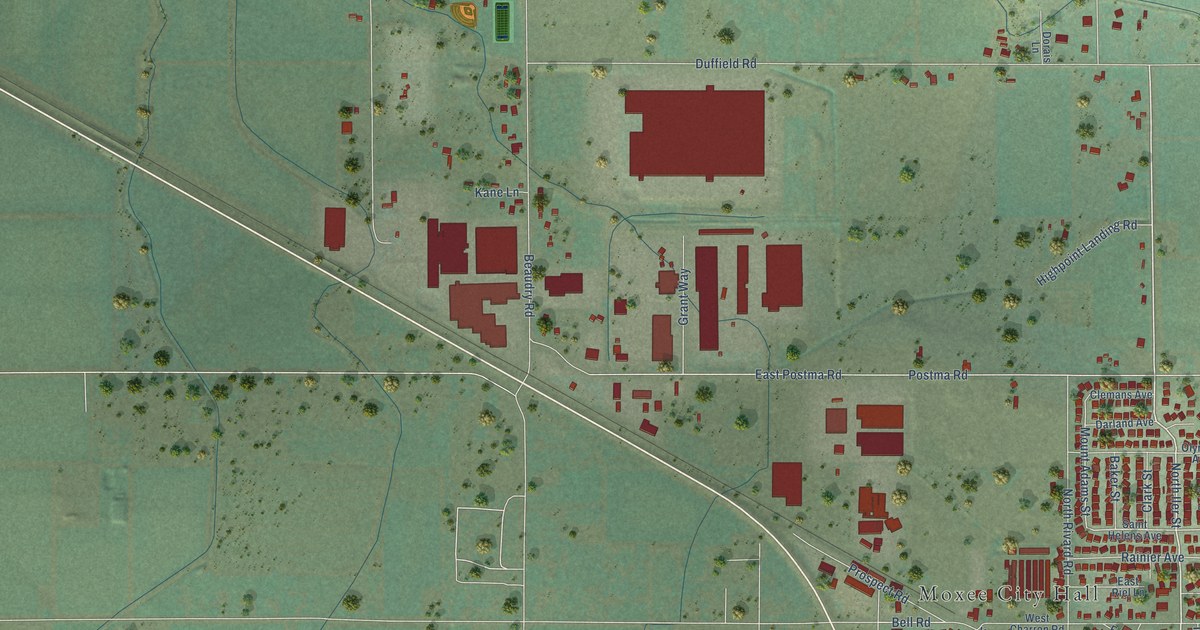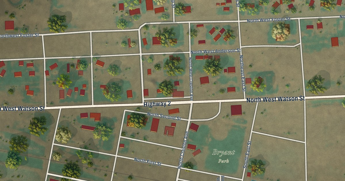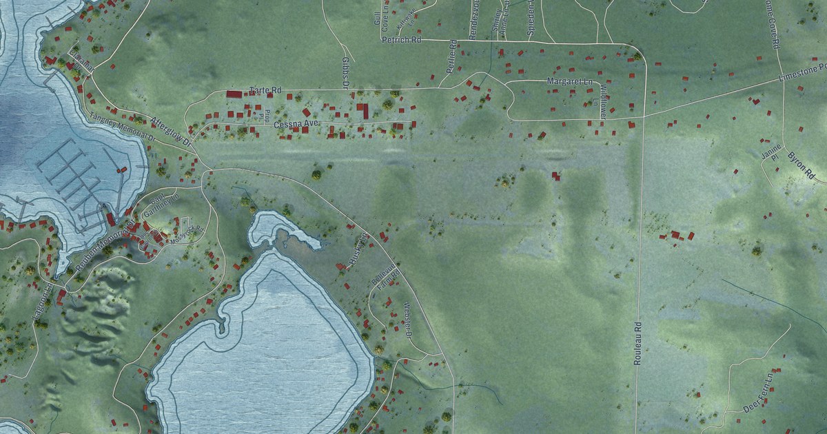
This beautifully detailed map of Roche Harbor, Washington was created in 2026 using aerial imagery combined with modern topographical, census, street and landmark data. It’s a one-of-a-kind view of Roche Harbor that combines accurate data with a vintage aesthetic. The map shows every building in its true location, many of the roads carry their names, and the shaded topographic relief shows the shape of the land.
Explore an aerial view of Roche Harbor, Washington
On the map you’ll find Afterglow Drive, Petrich Road, Roche Harbor Road, White Point Road, San Juan Drive, Tarte Road, Rouleau Road, Armadale Road, Westcott Drive, Limestone Point Road, Byron Road, Marcotte Drive, and more. Roche Harbor sits about 7 miles northwest of Friday Harbor, 25 miles west of Anacortes and 26 miles south of Point Roberts. If you look closely you can even find your house accurately drawn in its correct location. Zoom in on the preview to look for yours.
Take a closer look at the Roche Harbor map
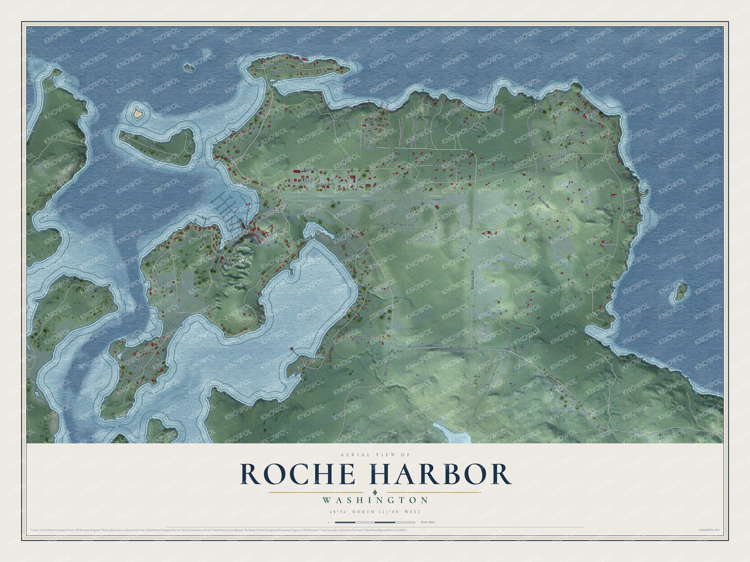
Names on this map
These names are printed on this map.
Streets and roads: Afterglow Drive, Petrich Road, Roche Harbor Road, White Point Road, San Juan Drive, Tarte Road, Rouleau Road, Armadale Road, Westcott Drive, Limestone Point Road, Byron Road, Marcotte Drive.
More street names, A to Z
Anderson Lane, Bazalgette Point Road, Bellevue Farm Road, Brooks Lane, Capt Garthney Lane, Cessna Avenue, Claramar Drive, Cypress Heights Lane, Davison Head Drive, Deer Fern Lane, Doc Capron Lane, Firwood Lane, Gibbs Drive, Gull Cove Circle, Gull Cove Lane, Husky Lane, Janine Place, Kelsey Court, Kittiwake Lane, Knights Lane, Lagoon Lane, Lonesome Cove Road, Margaret Lane, Mosquito Pass Lane, Mossyrock Road, Neil Bay Drive, Perlie Road, Prop Place, Rendezvous Road, Reuben Memorial Drive, Rockhaven Lane, Rogers Road, Rueben Tarte Road, Saltwater Lane, Seal Rock Lane, Sexton Place, Shirley Anne Lane, Spieden View Lane, Spirit Cove Lane, Tangney Memorial Drive, Tide Crest Way, Webster Drive, West Valley Road, Wildflower Lane.
See it on a wall
The Roche Harbor map as a framed print. Swipe for more.


This beautifully detailed map of Roche Harbor makes an attractive addition to your office, library, or den, and it can even be used to teach children the geography and history of the area. It also makes a great gift for anyone who grew up in Roche Harbor or moved away. When you’re done exploring, click here to get your copy of the Roche Harbor map.