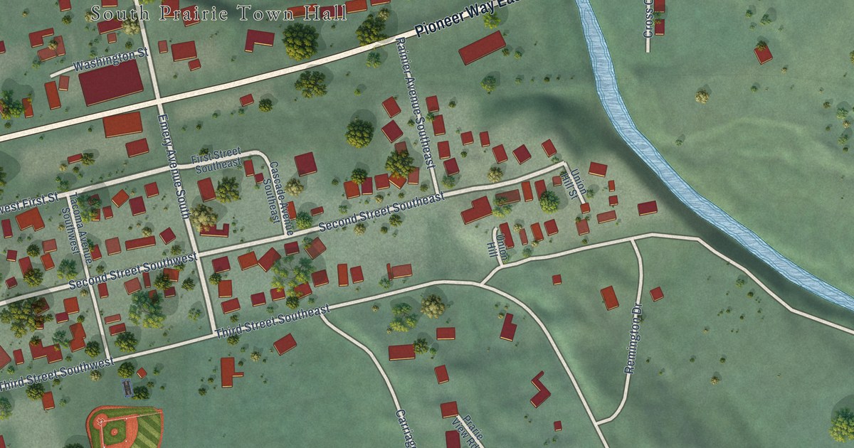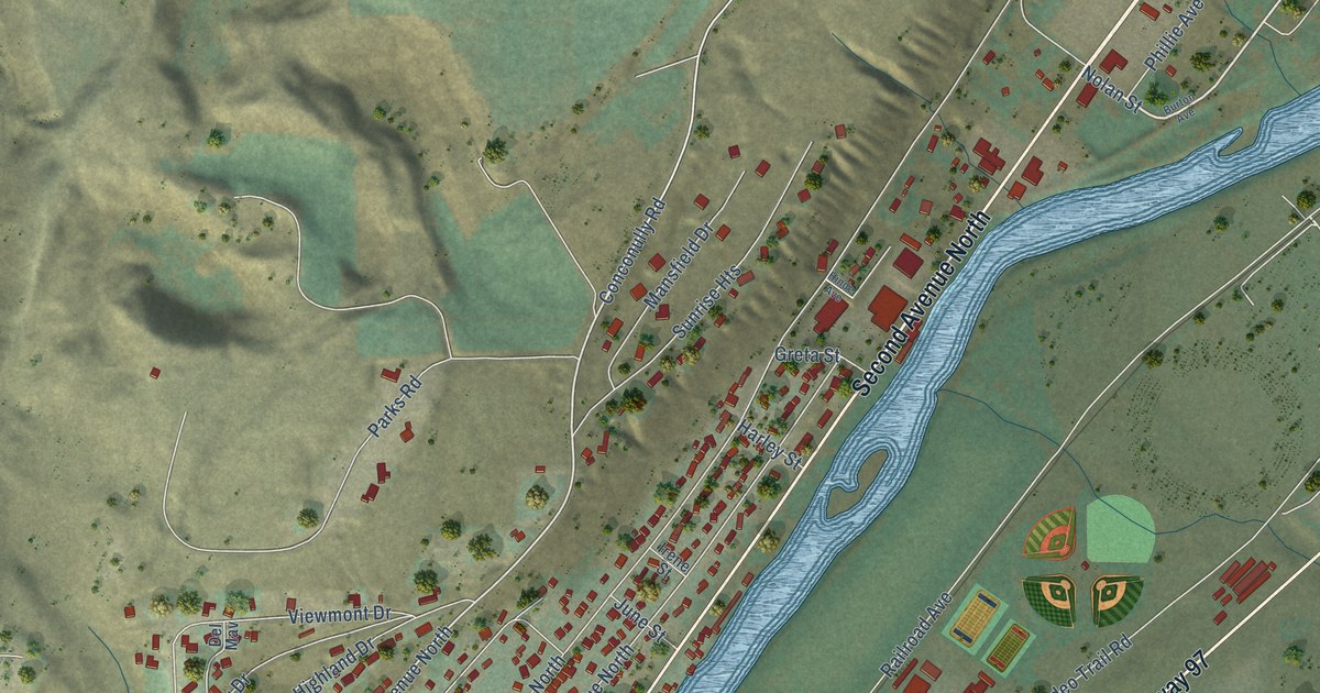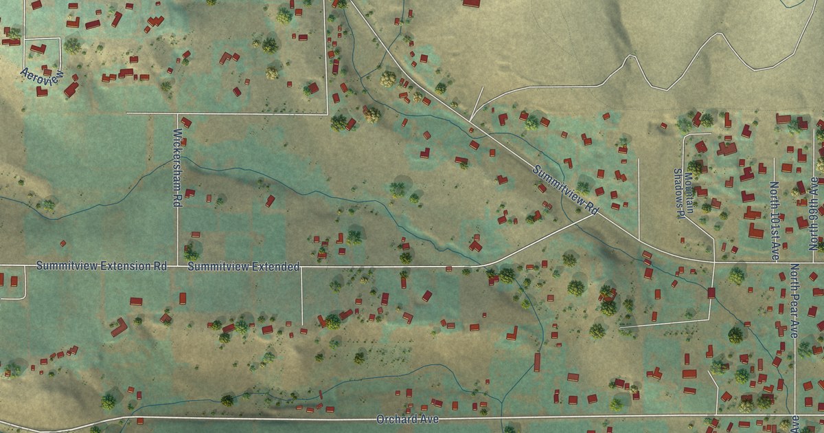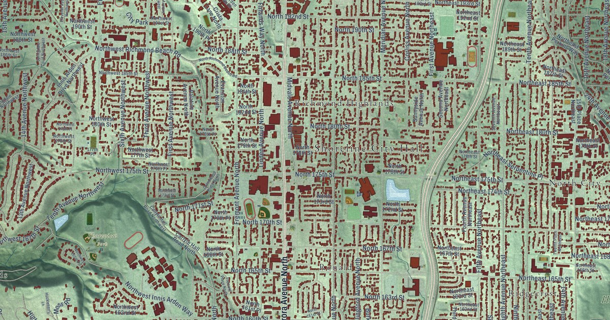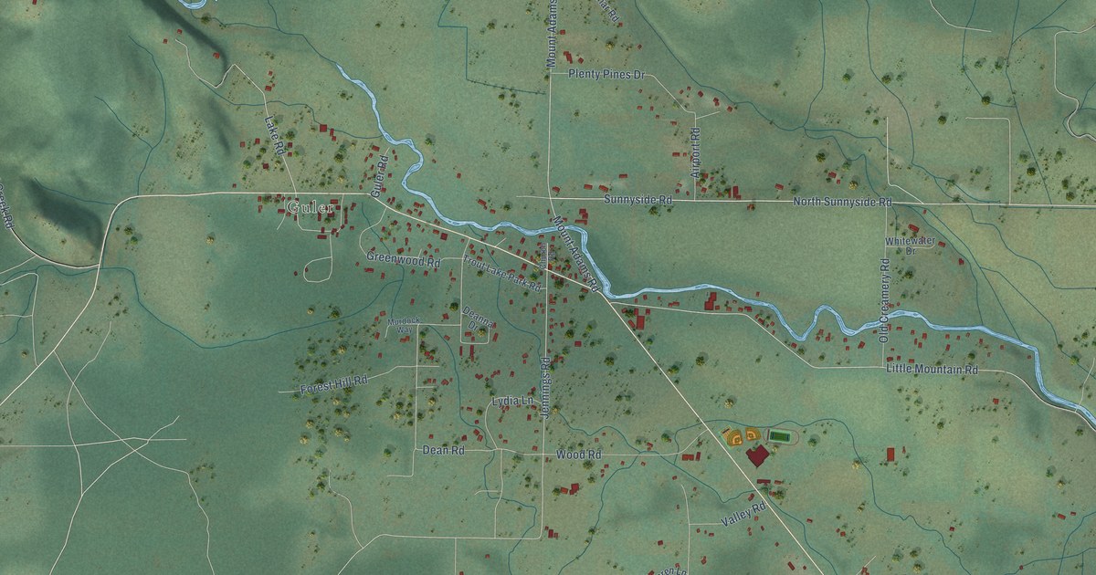
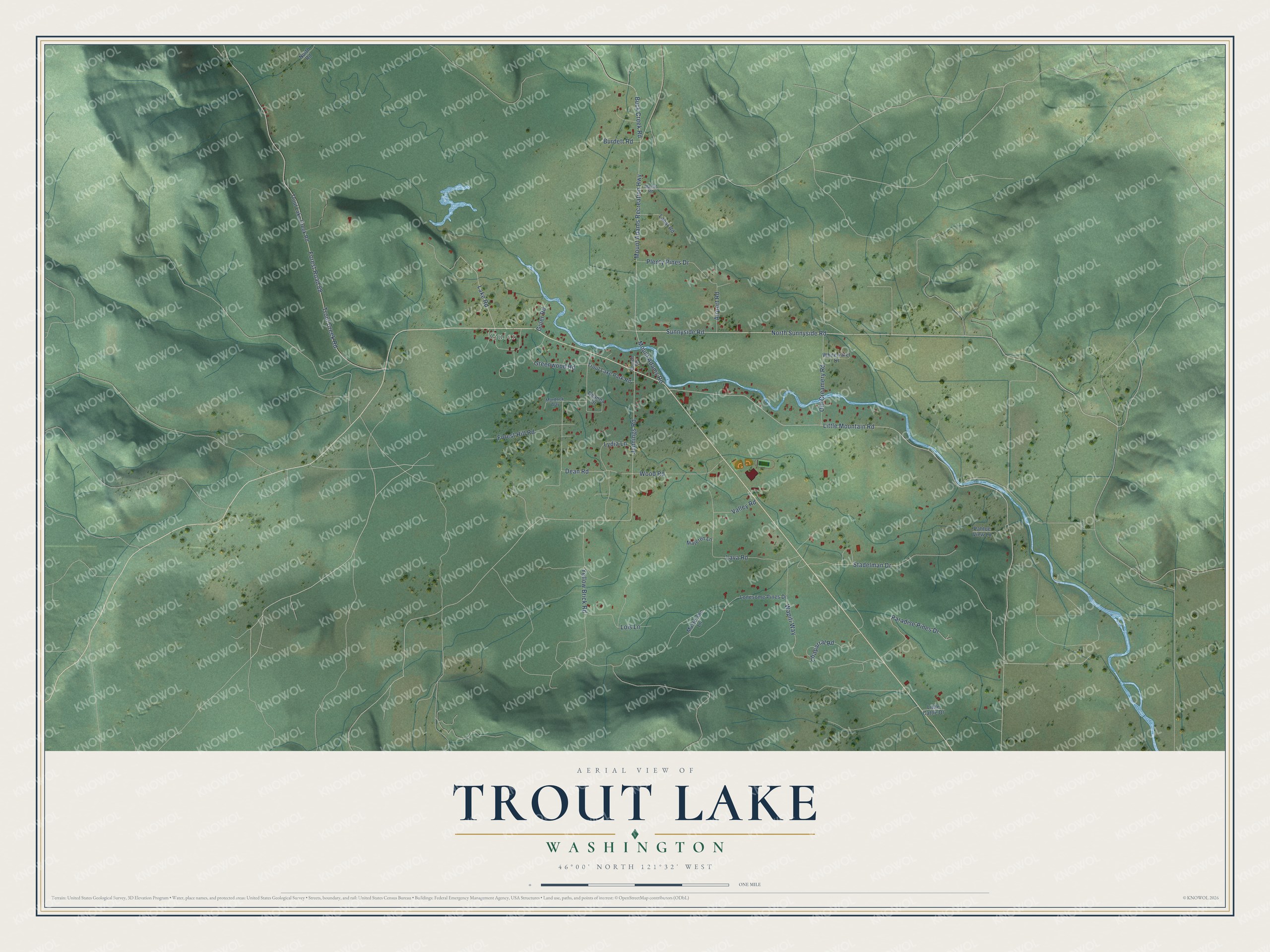
This beautifully detailed map of Trout Lake, Washington was created in 2026 using aerial imagery combined with modern topographical, census, street and landmark data. It's a modern aerial view of Trout Lake in Klickitat County, Washington, that combines modern data with a vintage aesthetic. The roads feature printed names, and if you look closely you can find your exact house accurately shown in its correct location.
Explore an aerial view of Trout Lake, Washington
On this map you'll find Guler, North Sunnyside Road, Sunnyside Road, Jennings Road, Paradise Pines Drive, Wapiti Way, Dean Road, Little Mountain Road, Forest Road 88, Trout Creek Road, Mount Adams Recreation Highway, Mount Adams Road, and more. Each red shape is a building, so zoom in on the preview and look for yours.
Trout Lake has a story worth telling. The first settler to stay in the Trout Lake Valley was Peter Stoller, a Swiss immigrant who homesteaded there in 1879. Chris and Philomena Guler, who came in 1887, carried the mail up from White Salmon for a dollar a day, and in 1893 Chris built the Guler Hotel, dreaming that Trout Lake could be a tourist haven like his native Switzerland. In 1903 German brothers Herman and Henry Thode began a hall across the creek. It opened on July 4, 1904, with a dance floor, a stage, a soda fountain and a candlestick bowling alley. That's from the National Register of Historic Places.
Trout Lake is a community in Klickitat County. The Census Bureau counted 672 people here in 2020.
Take a closer look at the Trout Lake map
Names on this map
These names are printed on this map.
Places: Guler.
Streets and roads: North Sunnyside Road, Sunnyside Road, Jennings Road, Paradise Pines Drive, Wapiti Way, Dean Road, Little Mountain Road, Forest Road 88, Trout Creek Road, Mount Adams Recreation Highway, Mount Adams Road, Lava Road.
More street names, A to Z
Airport Road, Buck Creek Road, Burdett Road, Chaparral Road, Church Road, Deanna Drive, Forest Hill Road, Greenwood Road, Guler Road, Lahar Road, Lake Road, Little Cattle Drive, Lois Lane, Lonesome Pines Drive, Lydia Lane, Majeren Lane, Martin Road, Masterson Lane, Murdock Way, North Road, Old Creamery Road, Pahtoe View Lane, Plenty Pines Drive, Stadelman Drive, Trout Lake Creek Road, Trout Lake Park Road, Valley Road, Whitewater Drive, Wood Road, Yellow Brick Road.
See it on a wall
The Trout Lake map as a framed print. Swipe for more.


Created by KNOWOL in 2026. The buildings are small red shapes, the roads carry their printed names, and shaded relief shows the shape of the land. The title panel reads "AERIAL VIEW OF TROUT LAKE, WASHINGTON" with 46°00' NORTH 121°32' WEST.
It looks right in a kitchen, an office or a den, and it's a gift for anyone who grew up in Trout Lake or moved away. Open the preview and find your street. See sizes and frames for the Trout Lake map.