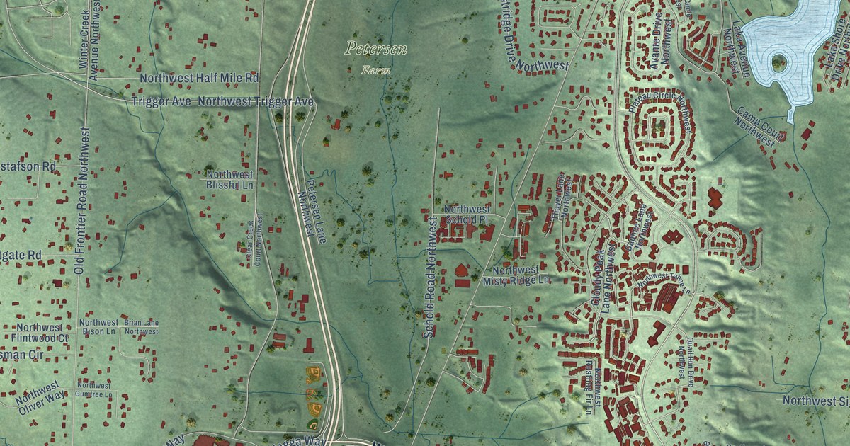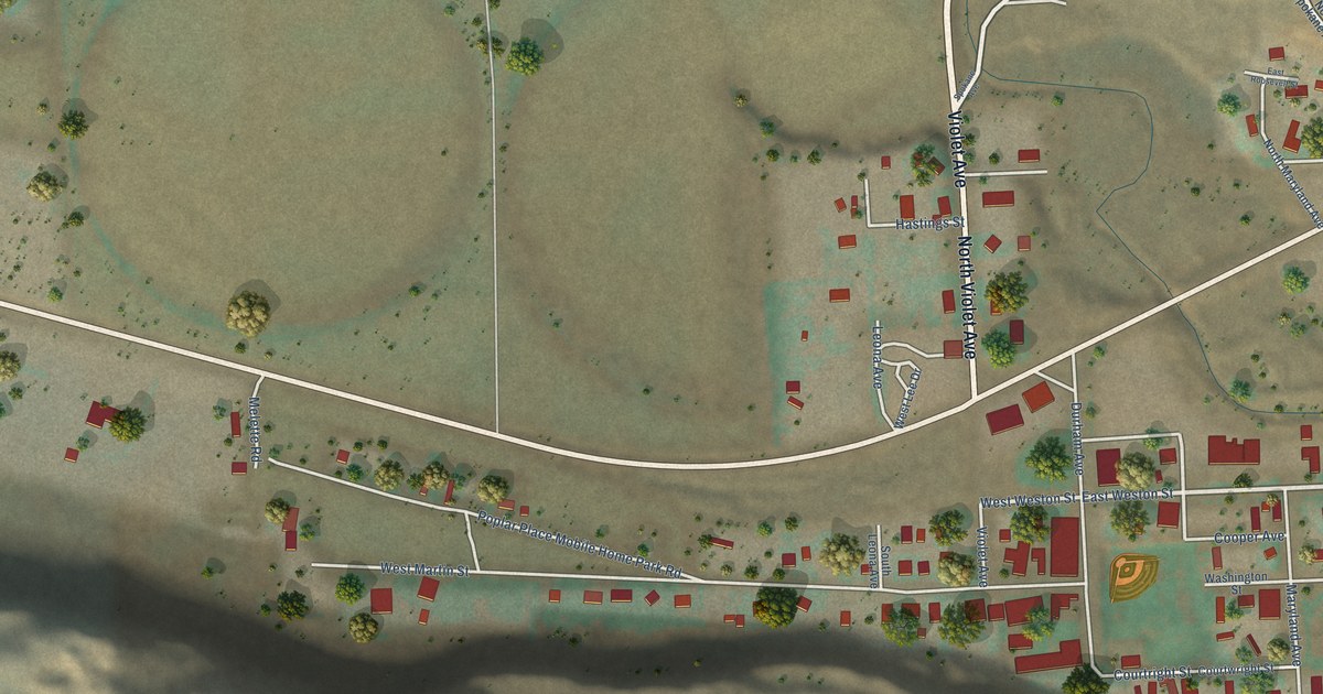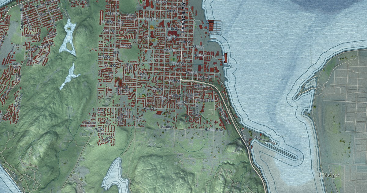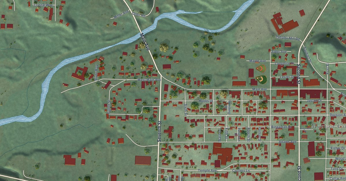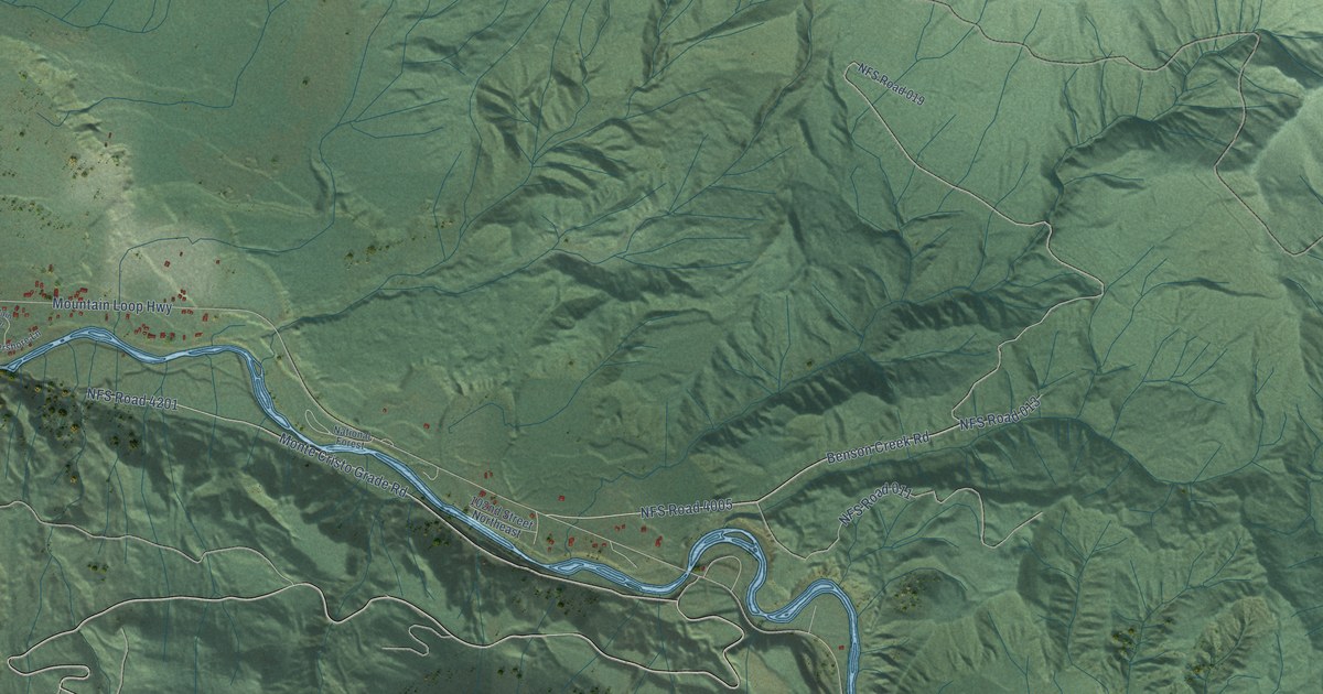
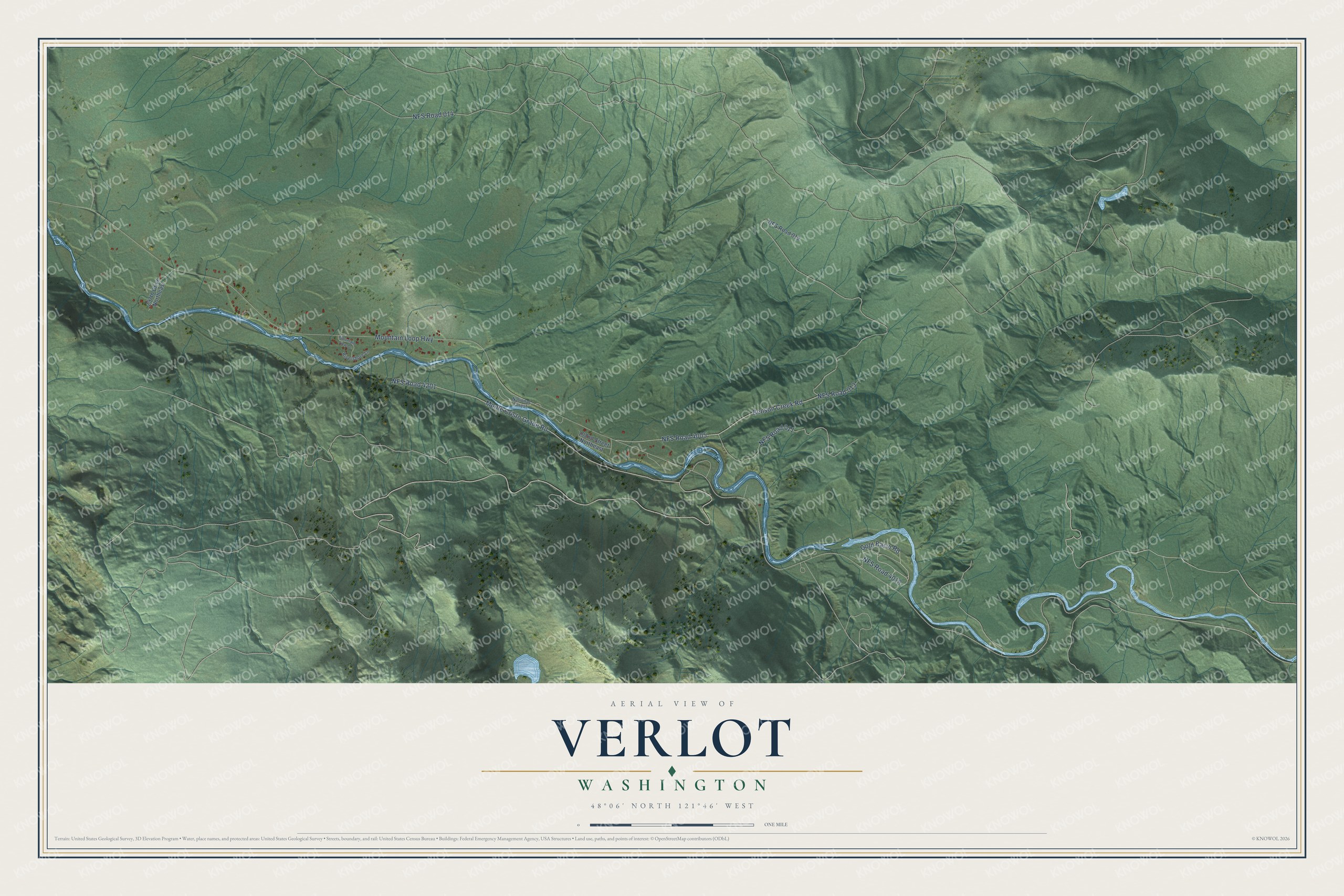
This beautifully detailed map of Verlot, Washington was created in 2026 using aerial imagery combined with modern topographical, census, street and landmark data. It's a modern aerial view of Verlot in Snohomish County, Washington, that combines modern data with a vintage aesthetic. The roads feature printed names, and if you look closely you can find your exact house accurately shown in its correct location.
Explore an aerial view of Verlot, Washington
On this map you'll find NFS Road 4005, Benson Creek Road, Mountain Loop Highway, Monte Cristo Grade Road, NFS Road 4201, NFS Road 014, NFS Road 011, NFS Road 4018, Gold Basin Road, NFS Road 013, 297th Drive Northeast, NFS Road 019, and more. Each red shape is a building, so zoom in on the preview and look for yours.
Verlot has a story worth telling. The Verlot Ranger Station, once the Monte Cristo Ranger Station, was built by the Civilian Conservation Corps. Its office of 1936 has a pine tree cut into the center board of each window shutter and into each gable end, and its front door handle was forged by hand on a pine tree plate. The work helped the local community in hard times by giving jobs to young people and experienced craftsmen. That's from the National Register of Historic Places.
Verlot is a community in Snohomish County. The Census Bureau counted 340 people here in 2020.
Take a closer look at the Verlot map
Names on this map
These names are printed on this map.
Streets and roads: NFS Road 4005, Benson Creek Road, Mountain Loop Highway, Monte Cristo Grade Road, NFS Road 4201, NFS Road 014, NFS Road 011, NFS Road 4018, Gold Basin Road, NFS Road 013, 297th Drive Northeast, NFS Road 019.
More street names, A to Z
102nd Street Northeast, Mountain View Drive, National Forest, Rivershore Lane.
See it on a wall
The Verlot map as a framed print. Swipe for more.


Created by KNOWOL in 2026. The buildings are small red shapes, the roads carry their printed names, and shaded relief shows the shape of the land. The title panel reads "AERIAL VIEW OF VERLOT, WASHINGTON" with 48°06' NORTH 121°46' WEST.
It looks right in a kitchen, an office or a den, and it's a gift for anyone who grew up in Verlot or moved away. Open the preview and find your street. See sizes and frames for the Verlot map.