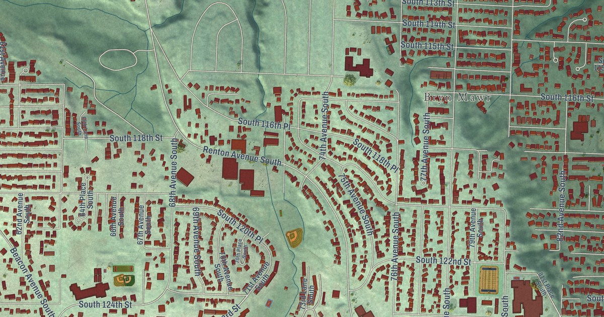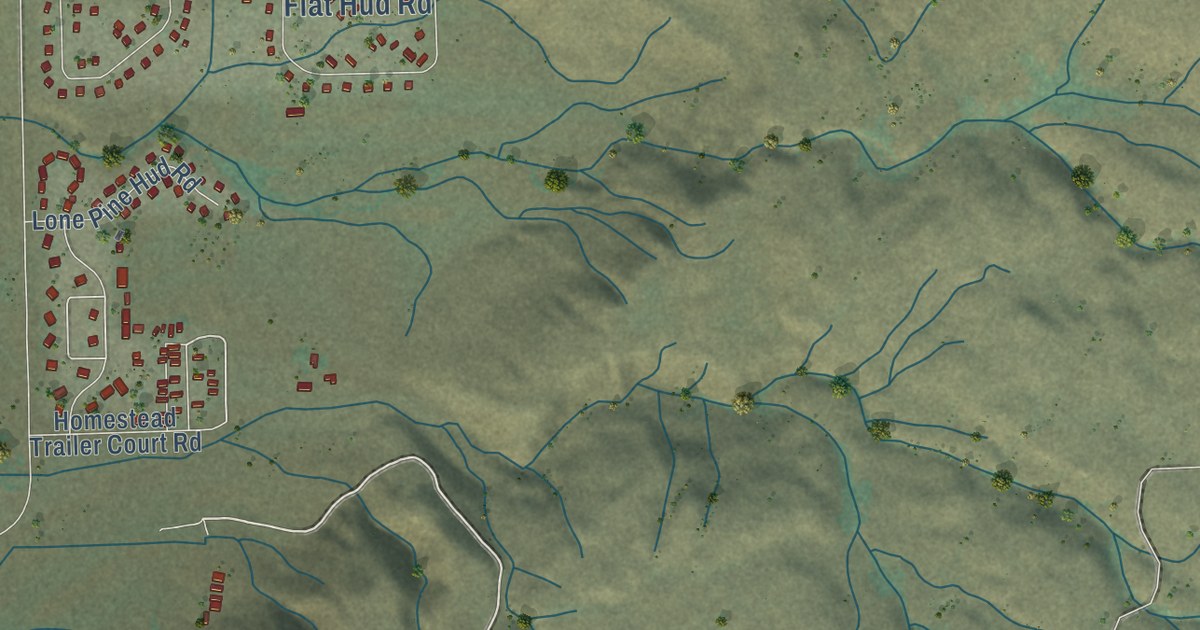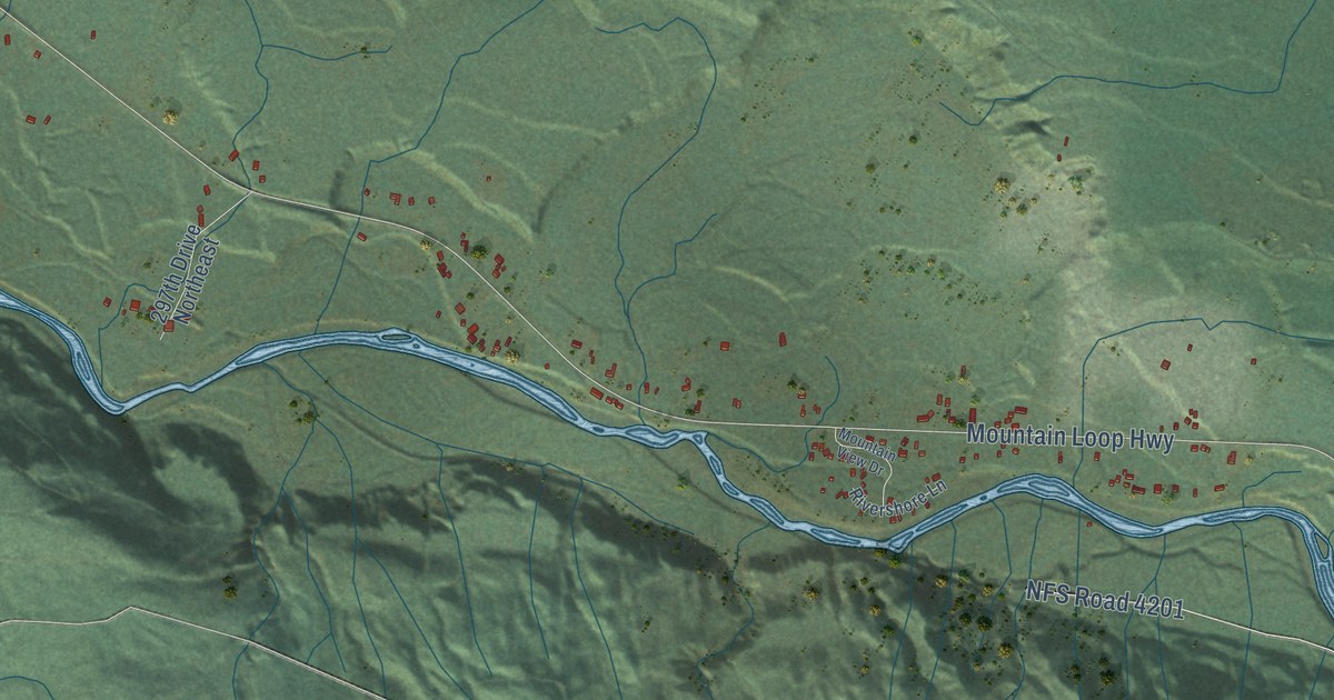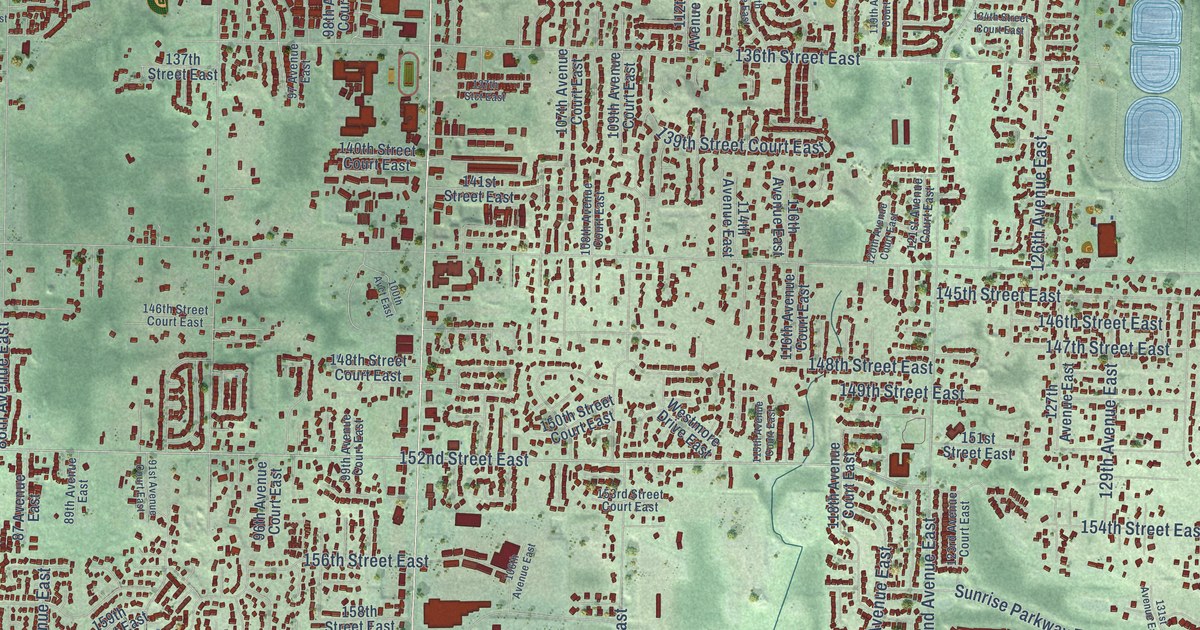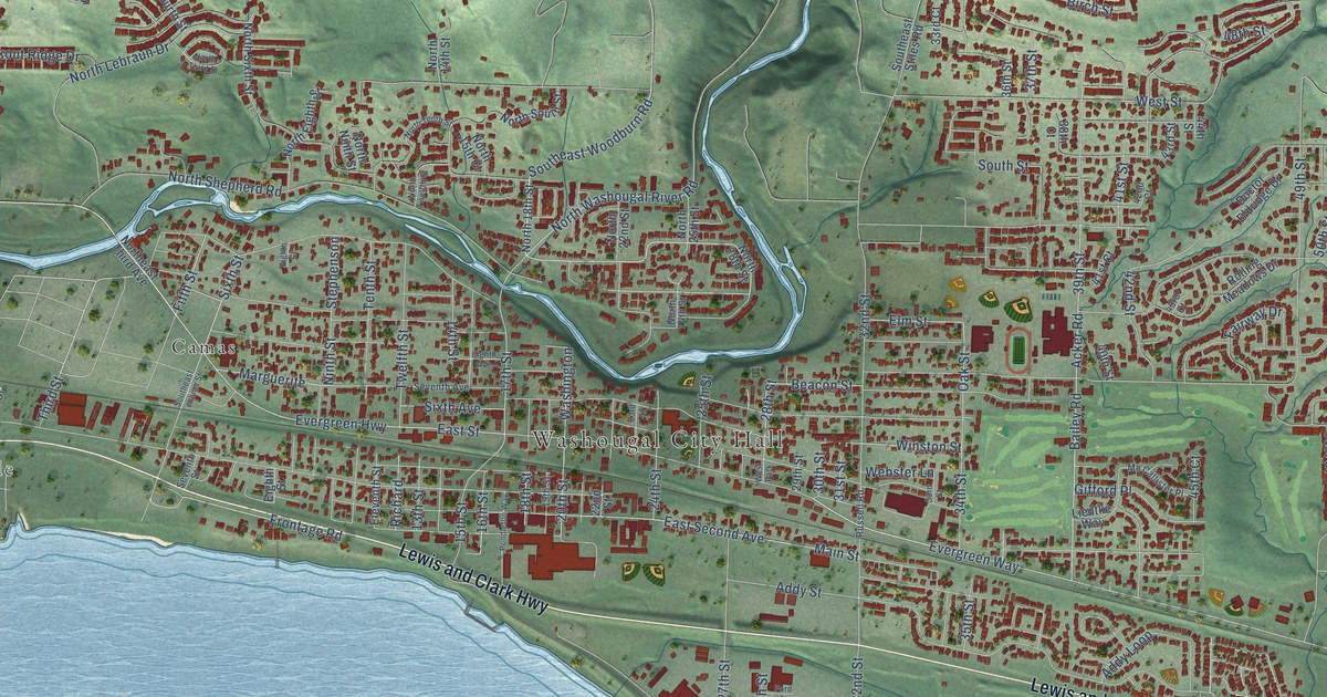
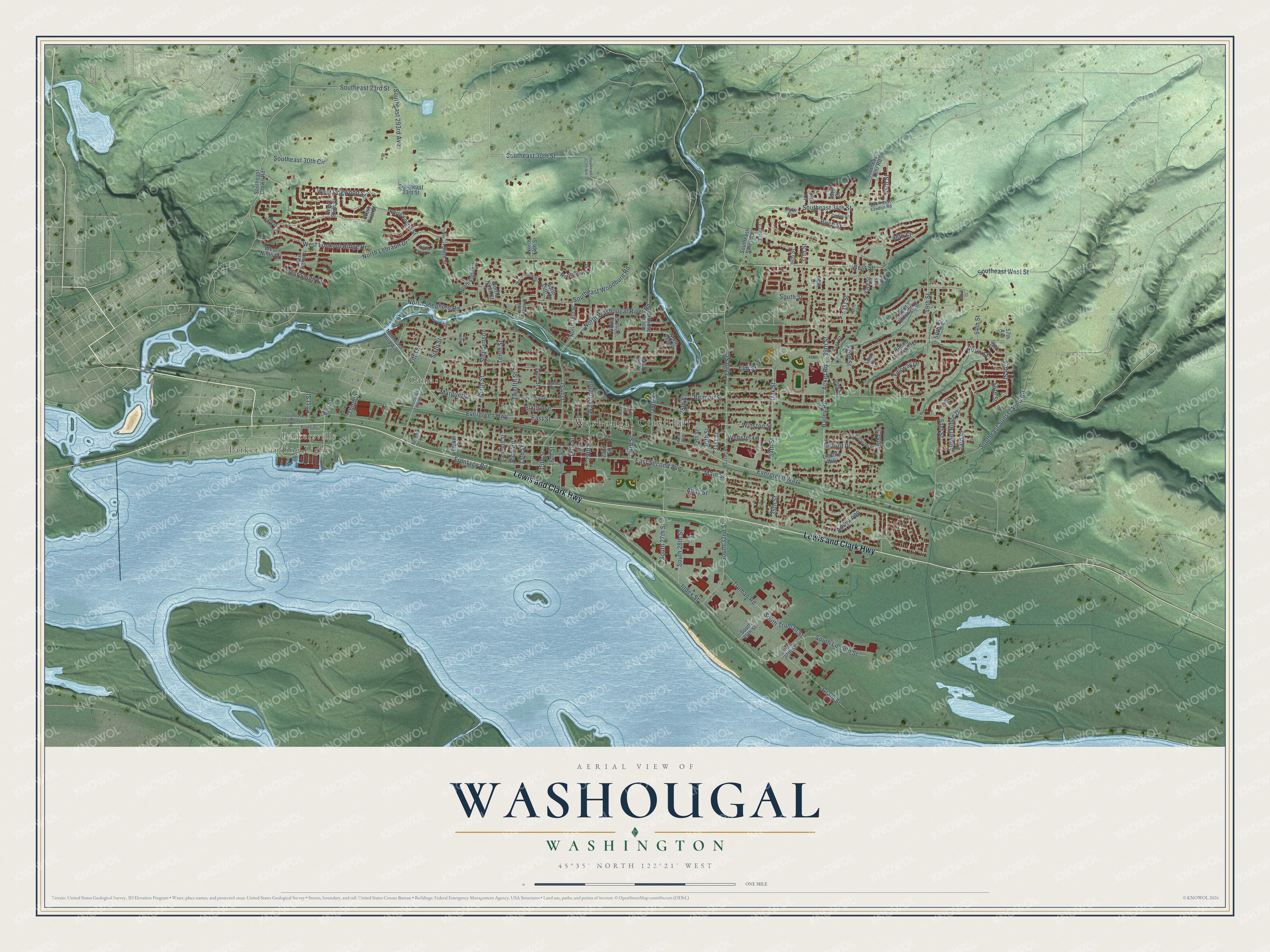
This beautifully detailed map of Washougal, Washington was created in 2026 using aerial imagery combined with modern topographical, census, street and landmark data. It’s a one-of-a-kind view of Washougal that combines accurate data with a vintage aesthetic. The map shows every building in its true location, many of the roads carry their names, and the shaded topographic relief shows the shape of the land.
Explore an aerial view of Washougal, Washington
On the map you’ll find Washougal City Hall, Parkersville, Camas, and Parker Landing Light, along with Lewis and Clark Highway, Southeast 30th Street, Southeast Woodburn Road, First Street, Addy Street, Evergreen Way, Southeast 34th Street, 34th Street, and more. If you look closely you can even find your house accurately drawn in its correct location. Zoom in on the preview to look for yours.
Did you know this piece of Washougal, Washington history?
From HistoryLink.org: "The first non-Native settlers came to the area in the late 1830s or early 1840s, and in the late nineteenth and early twentieth centuries, Washougal became a center for agriculture, dairy, and logging, and a terminus for riverboat traffic."
Take a closer look at the Washougal map
Street and place names on the Washougal, Washington map
These names are printed on the map of Washougal, Washington.
Places: Washougal City Hall, Parkersville, Camas, Parker Landing Light and West Park.
Streets and roads: Lewis and Clark Highway, Southeast 30th Street, Southeast Woodburn Road, First Street, Addy Street, Evergreen Way, Southeast 34th Street, 34th Street, Evergreen Highway, 17th Street, North Washougal River Road, East Second Avenue.
More street names, A to Z
13th Street, 14th Street, 15th Street, 16th Street, 18th Street, 19th Street, 20th Street, 22nd Street, 23rd Street, 24th Street, 25th Street, 28th Street, 29th Street, 30th Street, 31st Street, 32nd Street, 33rd Court, 33rd Street, 35th Street, 36th Street, 37th Court, 37th Street, 38th Court, 39th Court, 39th Street, 40th Street, 41st Court, 41st Street, 42nd Court, 42nd Street, 43rd Court, 43rd Street, 44th Street, 45th Court, 45th Street, 48th Street, 49th Street, 50th Street, 51st Street, 52nd Court, 52nd Street, 53rd Street, 54th Street, 55th Street, 56th Street, 57th Avenue, 57th Street, Acker Road, Addy Loop, Bailey Road, Beacon Street, Birch Street, Cedar Court, Cedar Street, Doctor Eldridge Drive, East Street, Eighth Avenue, Eighth Court, Eighth Street, Eleventh Street, Elm Street, Fairway Drive, Fifth Street, Ford Street, Frontage Road, Front Street, Gifford Place, Grant Street, Index Street, Liedtke Way, Main Street, Marguerite, Mc Callister Place, Ninth Street, North 14th Street, North 15th Court, North 18th Street, North 22nd Street, North 24th Street, North 25th Street, North 28th Street, Northeast Third Avenue, North Eighth Street, North Fourth Street, North Lebraun Drive, North Ninth Street, North Shepherd Road, North Sixth Street, North South Street, North Street, North Tenth Street, North Third Street, North Twelfth Street, Oak Street, Pendleton Way, Port Street, Richard, Rolling Meadows Drive, Russell Road, Seventh Avenue, Seventh Street, Sixth Avenue, Sixth Street, South 27th Street, South 28th Street, South 32nd Street, South 35th Street, South 37th Street, Southeast 23rd Street, Southeast 30th Circle, Southeast 33rd Street, Southeast 293rd Avenue, Southeast 313th Avenue, Southeast Crown Road, Southeast Eighth Avenue, Southeast Lawton Road, Southeast Lechner Street, Southeast Lehr Road, Southeast Stiles Road, Southeast Sunset View Road, Southeast West Street, South Lincoln Street, South Street, South Truman Street, Stephenson, Sunset Ridge Drive, Tenth Street, Third Street, Truman Road, Twelfth Street, Washington, Webster Lane, West Dogwood Street, West Eighth Street, West First Street, West Lookout Ridge Drive, West Ninth Street, West Sixth Street, West South Street, West Street, West Tenth Street, Winston Street.
See the Washougal, Washington map on a wall
The Washougal map as an 18 x 24 inch print in a black frame.

This beautifully detailed map of Washougal makes an attractive addition to your office, library, or den, and it can even be used to teach children the geography and history of the area. It also makes a great gift for anyone who grew up in Washougal or moved away. When you’re done exploring, click here to get your copy of the Washougal map.