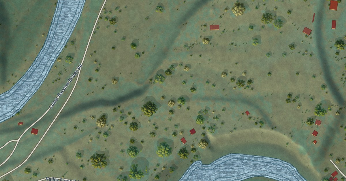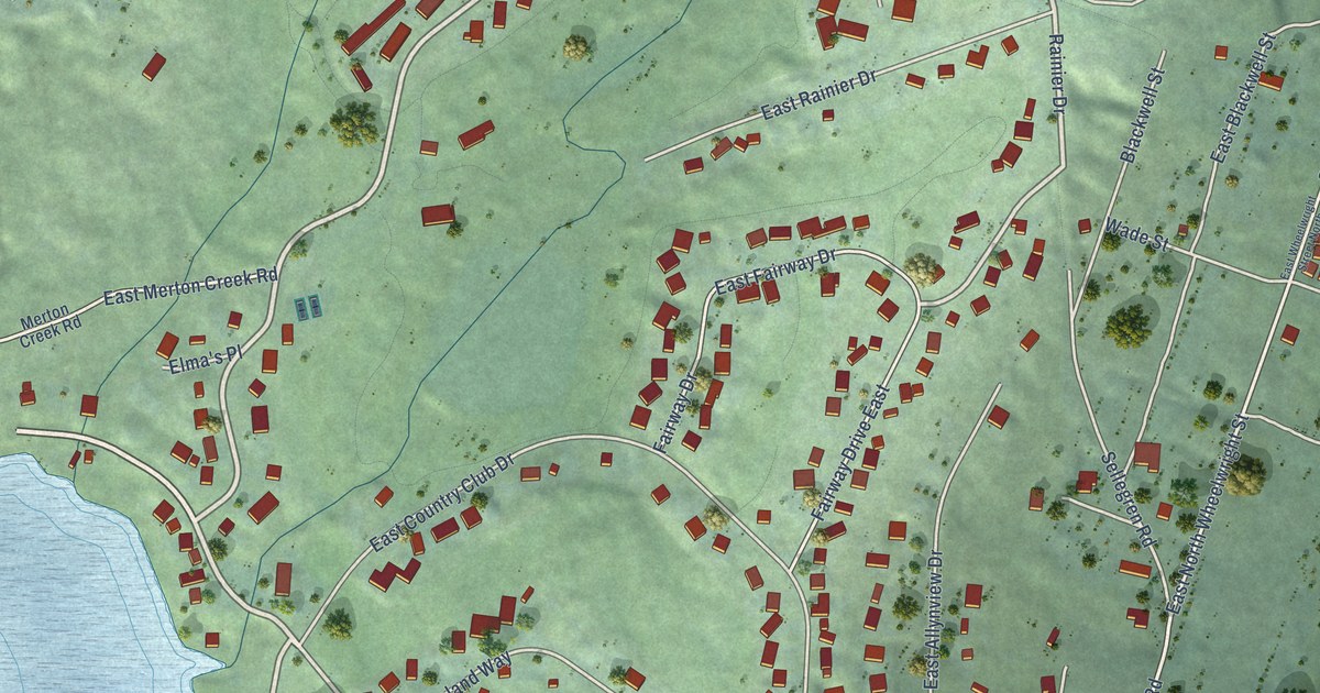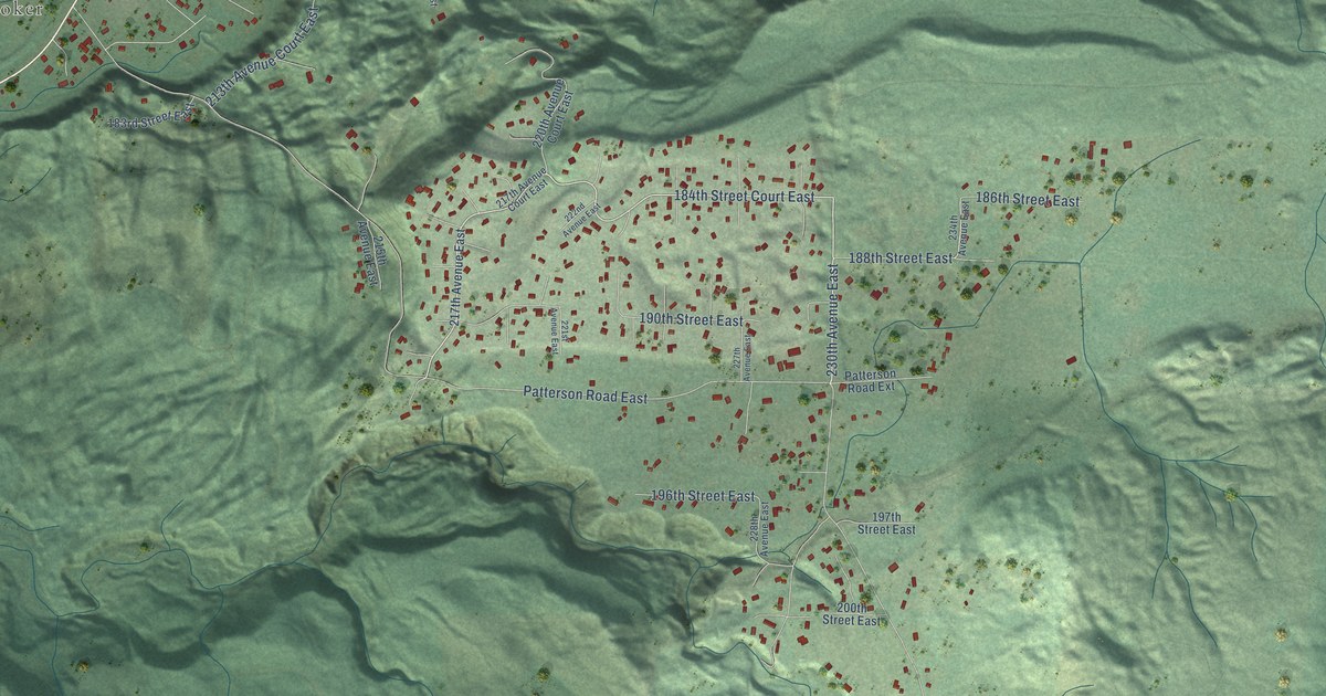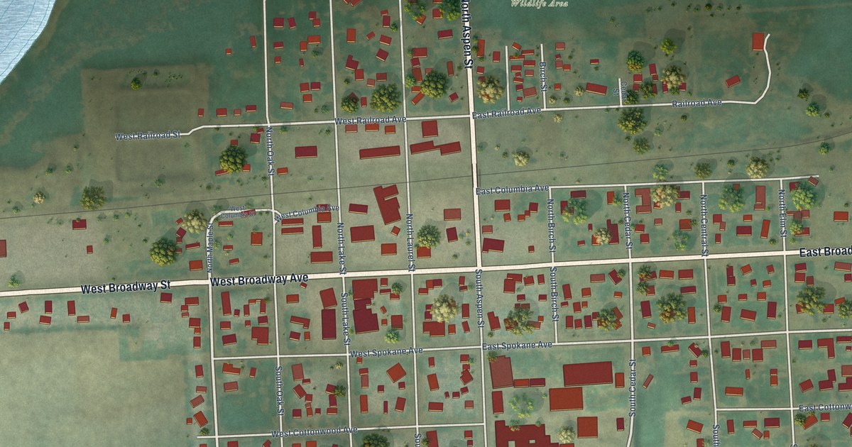
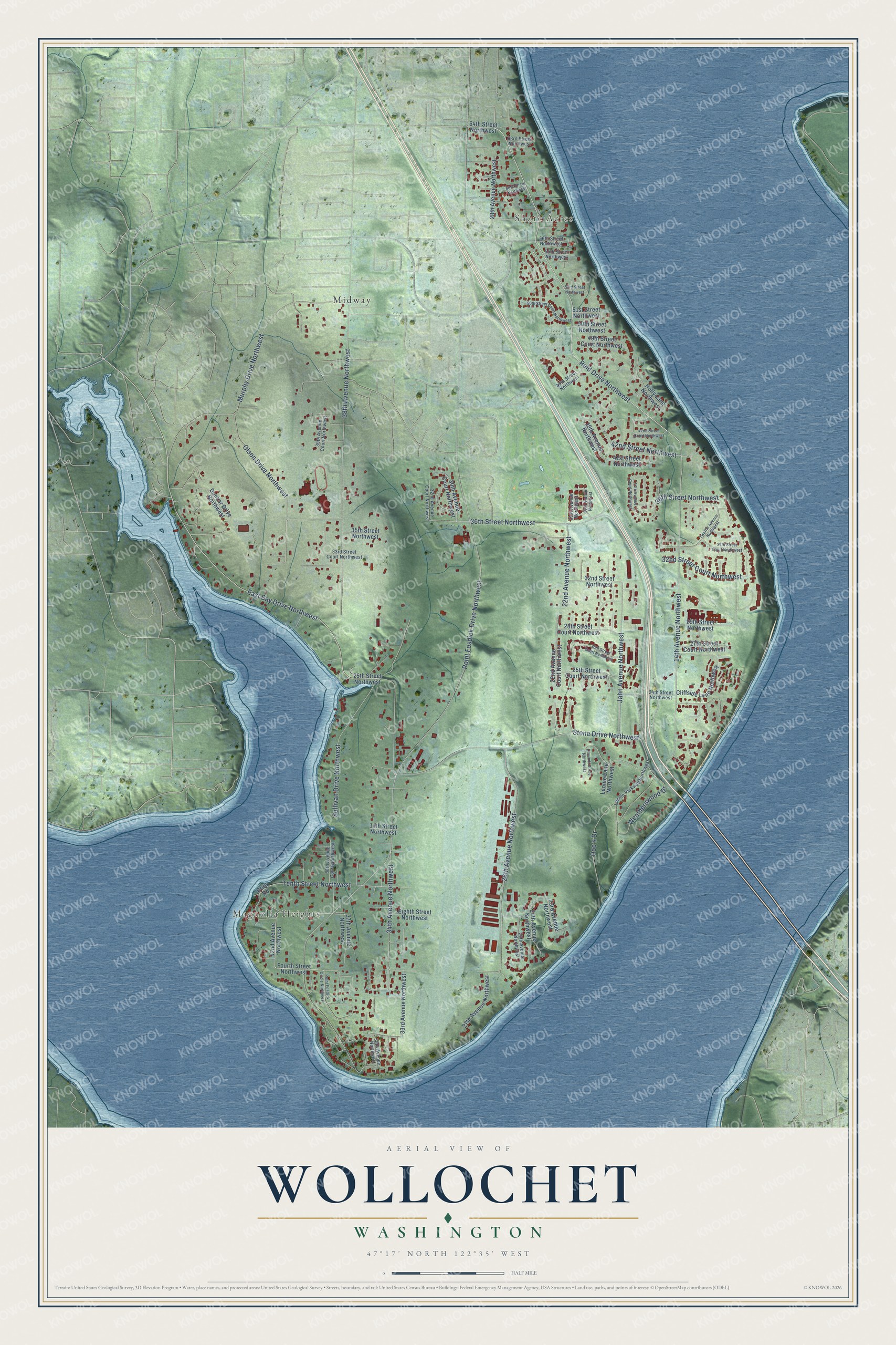
This beautifully detailed map of Wollochet, Washington was created in 2026 using aerial imagery combined with modern topographical, census, street and landmark data. It's a modern aerial view of Wollochet in Pierce County, Washington, that combines modern data with a vintage aesthetic. The roads feature printed names, and if you look closely you can find your exact house accurately shown in its correct location.
Explore an aerial view of Wollochet, Washington
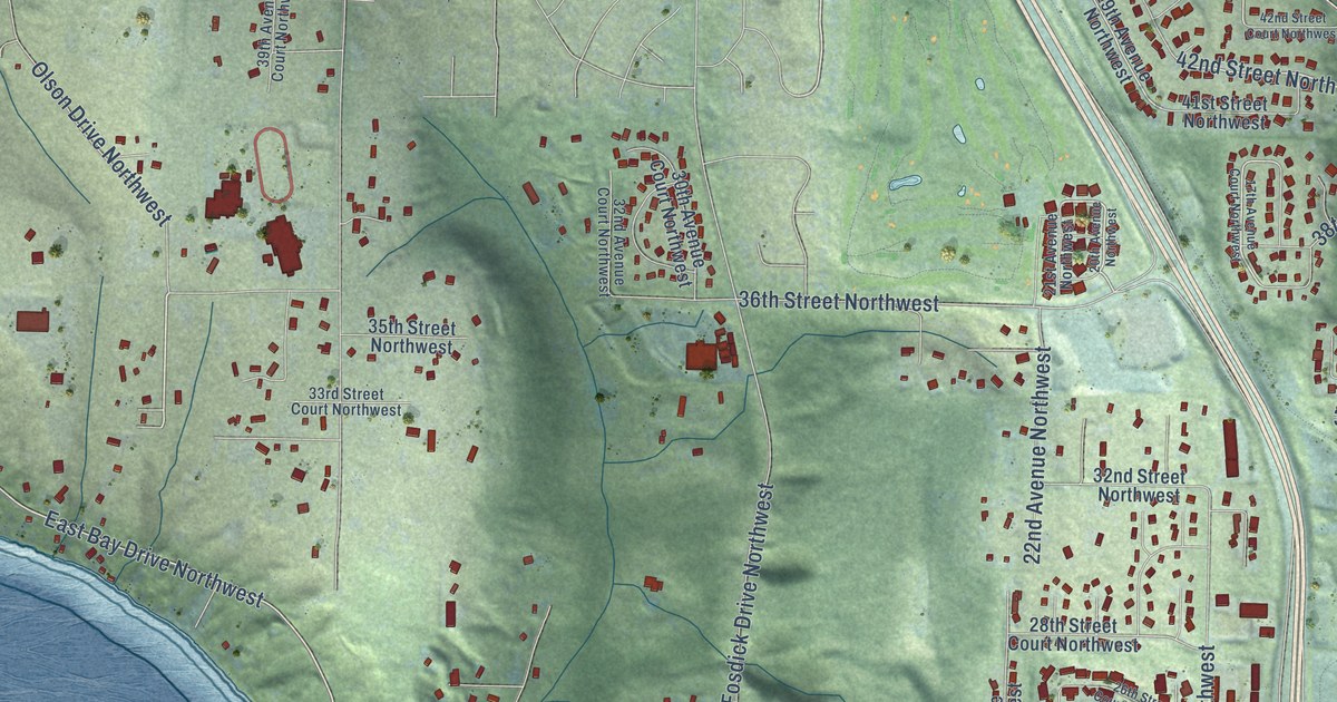
On this map you'll find Magnolia Heights, Shore Acres, Midway, Reid Drive Northwest, East Bay Drive Northwest, 38th Street Northwest, 42nd Street Northwest, Point Fosdick Drive Northwest, 38th Avenue Northwest, 14th Avenue Northwest, Murphy Drive Northwest, Stone Drive Northwest, and more. Each red shape is a building, so zoom in on the preview and look for yours.
Every town has a first chapter, and Wollochet is no exception. Ethnologist John R. Swanton recorded a village of the Puyallup people at the head of Wollochet Bay. Other Puyallup villages stood at Gig Harbor, on Carr Inlet and at Quartermaster Harbor. That's from the Bureau of American Ethnology.
Wollochet is a community in Pierce County. The Census Bureau counted 6,769 people here in 2020.
Take a closer look at the Wollochet map
Names on this map
These names are printed on this map.
Places: Magnolia Heights, Shore Acres and Midway.
Streets and roads: Reid Drive Northwest, East Bay Drive Northwest, 38th Street Northwest, 42nd Street Northwest, Point Fosdick Drive Northwest, 38th Avenue Northwest, 14th Avenue Northwest, Murphy Drive Northwest, Stone Drive Northwest, 26th Avenue Northwest, 34th Avenue Northwest, Sullivan Drive Northwest.
More street names, A to Z
14th Street Northwest, 17th Avenue Court Northwest, 19th Avenue Northwest, 20th Avenue Northwest, 21st Avenue Northwest, 22nd Avenue Court Northwest, 22nd Avenue Northwest, 23rd Avenue Northwest, 24th Avenue Northwest, 24th Street Northwest, 25th Avenue Northwest, 25th Street Court Northwest, 25th Street Northwest, 26th Street Court Northwest, 27th Avenue Northwest, 27th Street Court Northwest, 28th Avenue Northwest, 28th Street Court Northwest, 29th Street Northwest, 30th Avenue Court Northwest, 32nd Avenue Court Northwest, 32nd Street Court Northwest, 32nd Street Northwest, 33rd Avenue Northwest, 33rd Street Court Northwest, 34th Street Court Northwest, 35th Avenue Northwest, 35th Street Northwest, 36th Street Northwest, 37th Avenue Northwest, 38th Avenue Court Northwest, 39th Avenue Court Northwest, 41st Street Northwest, 42nd Avenue Northwest, 42nd Street Court Northwest, 47th Street Northwest, 49th Street Court Northwest, 50th Street Court Northwest, 50th Street Northwest, 51st Street Northwest, 53rd Street Northwest, 55th Street Northwest, 56th Street Northwest, 60th Street Northwest, 63rd Street Northwest, 64th Street Northwest, Berg Road, Cliffside Lane Northwest, Clorindi Circle Northwest, Doc's Drive, Dunbar Drive Northwest, Eighth Street Northwest, Fourth Street Northwest, Holly Lane Northwest, Jahn Avenue Northwest, Leonie Lane Northwest, Lucille Parkway Northwest, Olson Drive Northwest, Point Fosdick Circle Northwest, Tenth Street Northwest, Twelfth Avenue Northwest, Weatherswood Drive.
See it on a wall
The Wollochet map as a framed print. Swipe for more.


Created by KNOWOL in 2026. The buildings are small red shapes, the roads carry their printed names, and shaded relief shows the shape of the land. The title panel reads "AERIAL VIEW OF WOLLOCHET, WASHINGTON" with 47°17' NORTH 122°35' WEST.
Hang it in the hallway, the office or the cabin, or give it to someone who left Wollochet and still calls it home. Open the preview and look for a street you know. See sizes and frames for the Wollochet map.