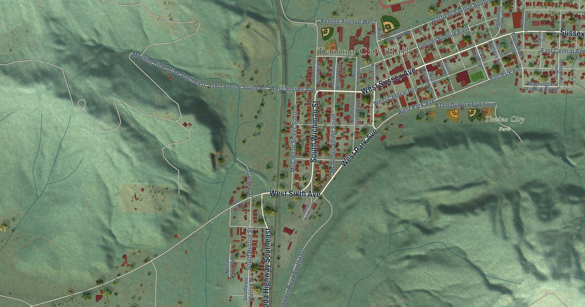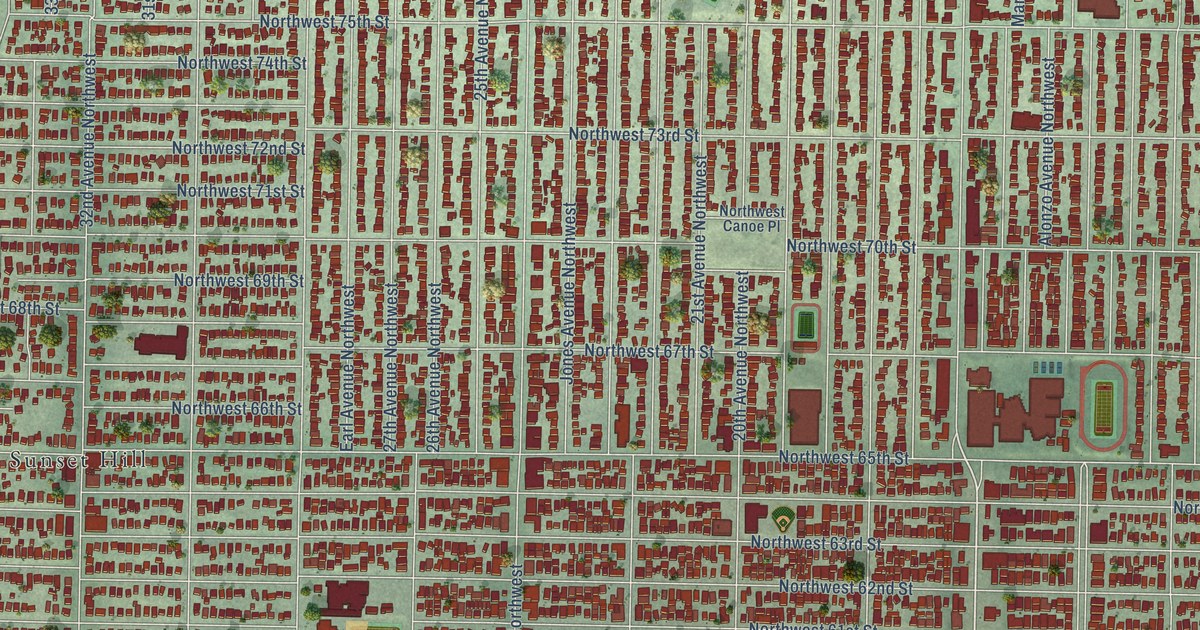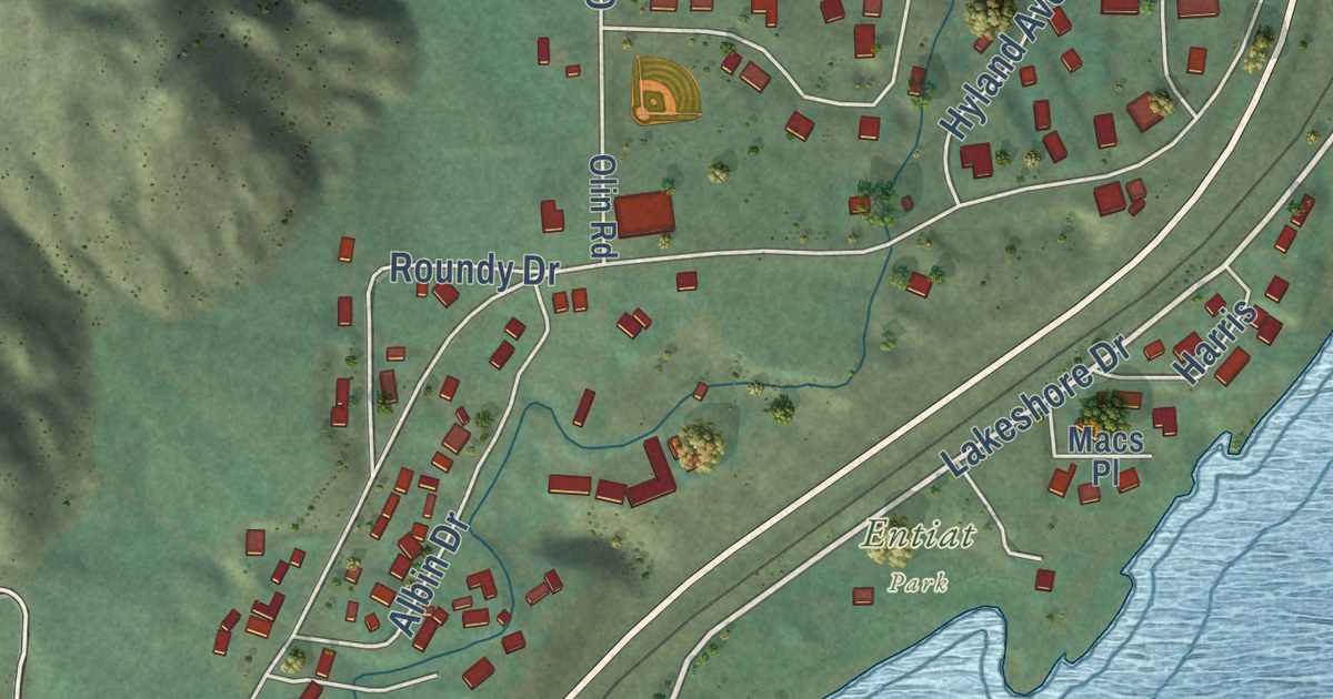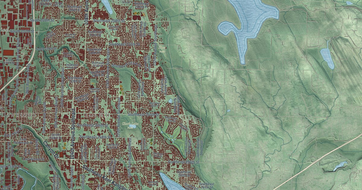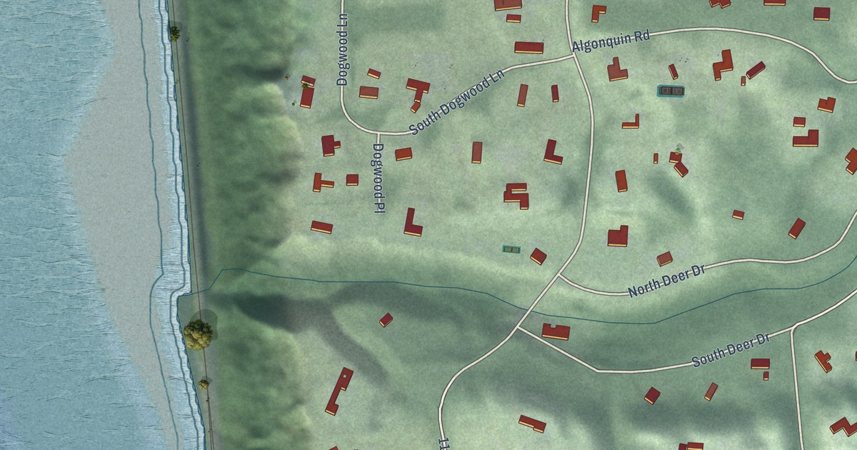
This beautifully detailed map of Woodway, Washington was created in 2026 using aerial imagery combined with modern topographical, census, street and landmark data. It’s a one-of-a-kind view of Woodway that combines accurate data with a vintage aesthetic. The map shows every building in its true location, many of the roads carry their names, and the shaded topographic relief shows the shape of the land.
Explore an aerial view of Woodway, Washington
On the map you’ll find Woodway Town Hall and Carla Nichols Reserve, along with Edmonds Way, 108th Avenue West, Pine Street, Northwest 205th Street, Woodway Park Road, 114th Avenue West, Timber Lane, Wachusett Road, Makah Road, West Woodway Lane, and more. If you look closely you can even find your house accurately drawn in its correct location. Zoom in on the preview to look for yours.
Did you know this piece of Woodway, Washington history?
From HistoryLink: "No official plat of Woodway Park was ever filed with Snohomish County, leaving the county assessor's office to create its own plat of the area, still in use today."
Take a closer look at the Woodway map
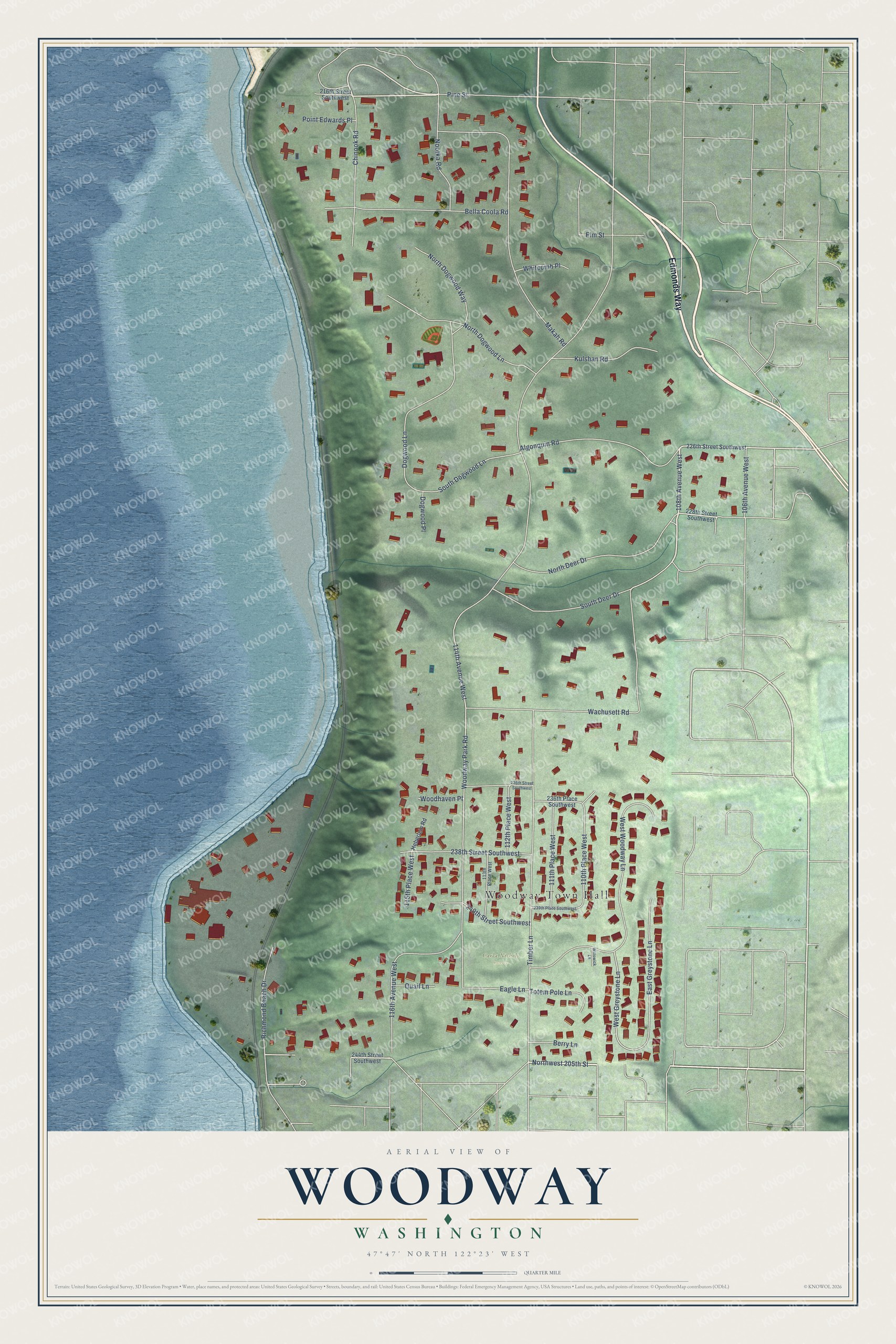
Street and place names on the Woodway, Washington map
These names are printed on the map of Woodway, Washington.
Places: Woodway Town Hall and Carla Nichols Reserve.
Streets and roads: Edmonds Way, 108th Avenue West, Pine Street, Northwest 205th Street, Woodway Park Road, 114th Avenue West, Timber Lane, Wachusett Road, Makah Road, West Woodway Lane, East Greystone Lane, North Deer Drive.
More street names, A to Z
106th Avenue West, 110th Place West, 111th Place West, 112th Place West, 113th Place West, 115th Place West, 116th Avenue West, 216th Street Southwest, 226th Street Southwest, 228th Street Southwest, 236th Place Southwest, 236th Street Southwest, 238th Street Southwest, 239th Place Southwest, 240th Street Southwest, 244th Street Southwest, Algonquin Road, Bella Coola Road, Berry Lane, Chinook Road, Dogwood Lane, Dogwood Place, Eagle Lane, Elm Street, Heberlein Road, Kulshan Road, Nootka Road, North Dogwood Lane, North Dogwood Way, Point Edwards Place, Quail Lane, Richmond Beach Drive, South Deer Drive, South Dogwood Lane, Totem Pole Lane, West Greystone Lane, Whitcomb Place, Willowick Lane, Woodhaven Place.
See the Woodway, Washington map on a wall
The Woodway map as an 18 x 24 inch print in a black frame.

This beautifully detailed map of Woodway makes an attractive addition to your office, library, or den, and it can even be used to teach children the geography and history of the area. It also makes a great gift for anyone with Woodway roots. When you’re done exploring, click here to get your copy of the Woodway map.