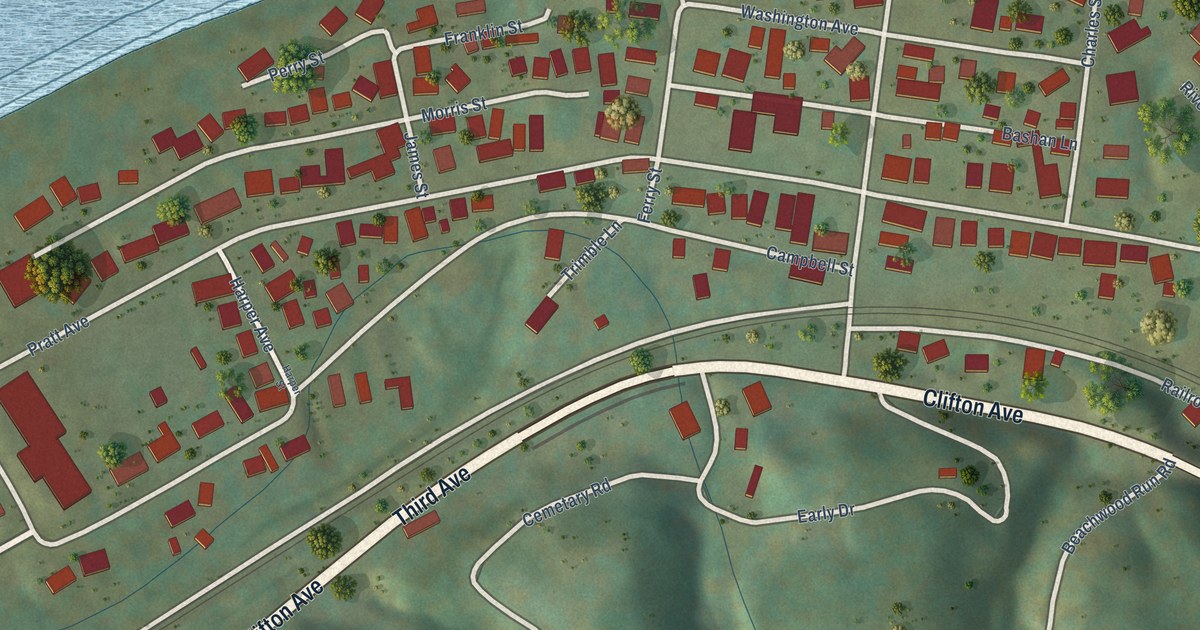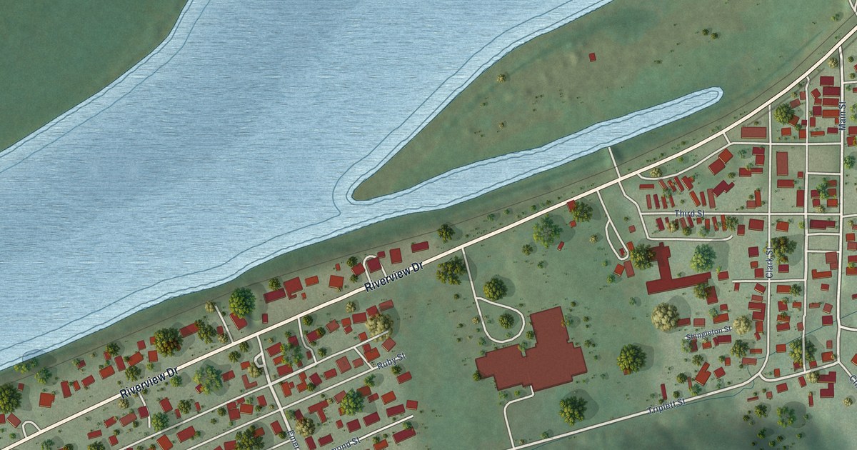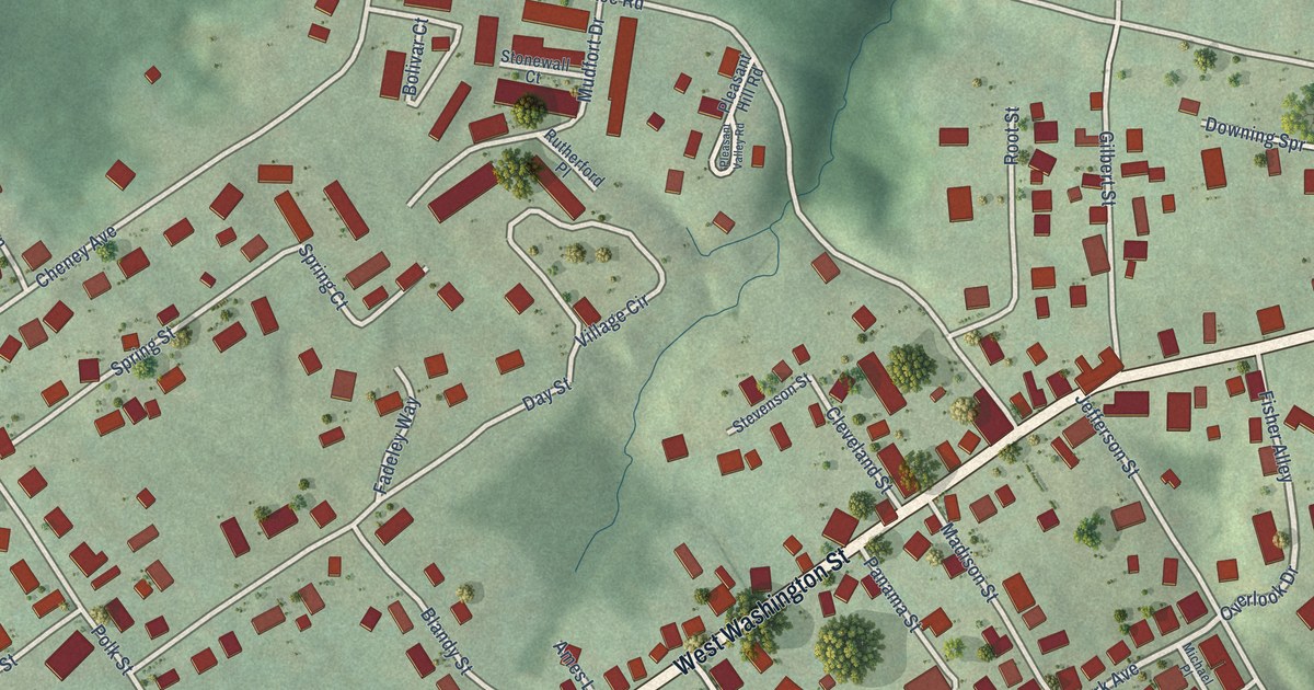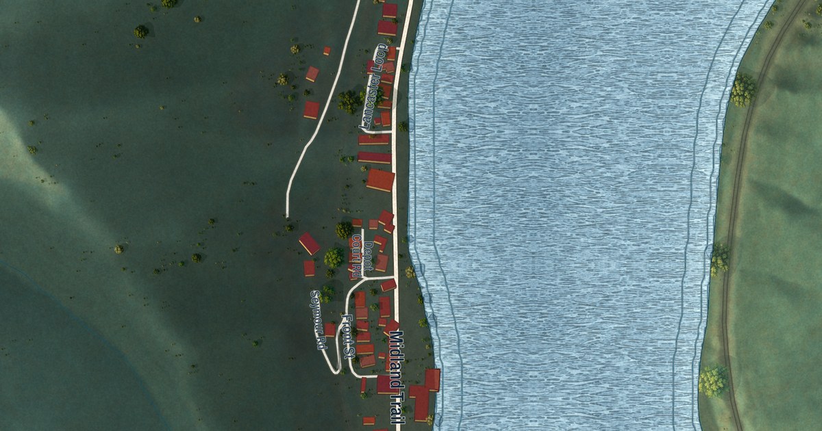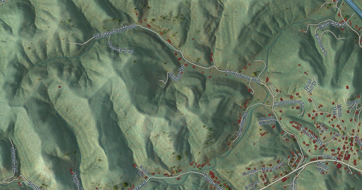
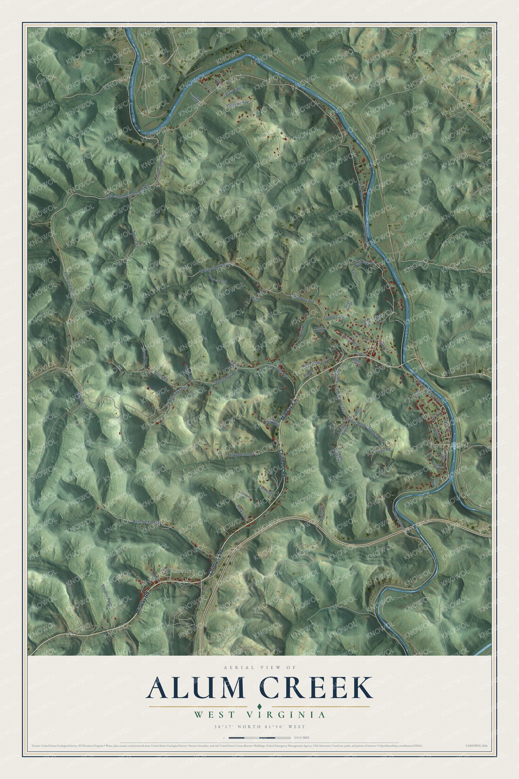
This beautifully detailed map of Alum Creek, West Virginia was created in 2026 using aerial imagery combined with modern topographical, census, street and landmark data. It's a modern aerial view of Alum Creek in Lincoln County, West Virginia, that combines modern data with a vintage aesthetic. The roads feature printed names, and if you look closely you can find your exact house accurately shown in its correct location.
Explore an aerial view of Alum Creek, West Virginia
On this map you'll find Priestley, Forks of Coal, Midway Road, Childress Road, Spruce Road, Turley Drive, Coal River Road, Co Highway 8, Island Creek Road, Smith Road, Little Coal River Road, Co Highway 1/2, and more. Each red shape is a building, so zoom in on the preview and look for yours.
Alum Creek has a story worth telling. Alum Creek was named for an alum rock about one mile from the creek's mouth on Coal River. Nearby at the forks of Coal, a Baptist church was organized a few years after 1817, the second church organized in that district. That's from the History of Charleston and Kanawha County.
Alum Creek is a community in Lincoln County. The Census Bureau counted 1,595 people here in 2020.
Take a closer look at the Alum Creek map
Names on this map
These names are printed on this map.
Places: Priestley and Forks of Coal.
Streets and roads: Midway Road, Childress Road, Spruce Road, Turley Drive, Coal River Road, County Highway 8, Island Creek Road, Smith Road, Little Coal River Road, Lick Branch Island Creek Road, Whispering Pines, Toms Fork.
More street names, A to Z
Ball Park Drive, Ballpark Drive, Beechie Fork Road, Bently Circle, Cala Lane, Carmel Road, Cascade Brook, Cascade Brooks Road, Cedar Drive, Clay Lane, Clinic Drive, Cobblestone Lane, Crabapple Lane, Deer Ck Trail, Emma Drive, Estep Mountain, Forest Vw, Frontier Road, Gilchrist Avenue, Harmony Drive, Hunter Lane, Jewell Road, Kuhn Road, Lincoln Heights, Linville Road, Little Coal River, Lock Lane, Mannon Drive, Medley Lane, Meikle Drive, Miller Road, Misty Meadows, Mollys Branch Road, Nature Trail, Ninnies Mountain, Owen Drive, Pearl Road, Pear Tree Drive, Pine Ridge, Quail Hill Drive, Road Frk Road, Skyline Drive, South Point, Stevens Point, Toms Fork Road, Tower Lane, Trout Lane, Tyler Lane, Upper Mollys Branch Road, White Oak, Wildflower Drive, Wilson Road, Yager Heights.
See it on a wall
The Alum Creek map as a framed print. Swipe for more.


Created by KNOWOL in 2026. The buildings are small red shapes, the roads carry their printed names, and shaded relief shows the shape of the land. The title panel reads "AERIAL VIEW OF ALUM CREEK, WEST VIRGINIA" with 38°17' NORTH 81°50' WEST.
It looks right in a kitchen, an office or a den, and it's a gift for anyone who grew up in Alum Creek or moved away. Open the preview and find your street. See sizes and frames for the Alum Creek map.